

© Tourist Information Schwangau - Jana Lebetz

© Tourist Information Schwangau - Jana Lebetz

© Tourist Information Schwangau - Schweiger

© Tourist Information Schwangau - Hannes Bruckdorfer

© Tourist Information Schwangau - Jana Lebetz

- Brief description
-
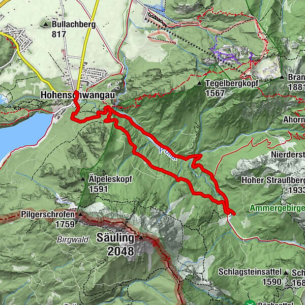
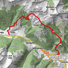
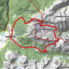
Parkplatz Hohenschwangau – Brunnstubenweg – Berggasthaus Bleckenau – Bleckenaustraße – Parkplatz Hohenschwangau
- Difficulty
-
medium
- Rating
-
- Route
-
Hohenschwangau0.1 kmWasserfall unterm Schloss1.1 kmPöllatfall1.4 kmBleckenau (1,160 m)4.7 kmBerggasthaus Bleckenau (1,167 m)4.9 kmPöllatfall8.1 kmWasserfall unterm Schloss8.5 kmHohenschwangau9.6 km
- Best season
-
JanFebMarAprMayJunJulAugSepOctNovDec
- Highest point
- 1,168 m
- Endpoint
-
Parkplatz Hohenschwangau (P1–P4)
- Height profile
-
 © outdooractive.com

- Author
-
The tour Hüttentour - Bleckenau is used by outdooractive.com provided.
GPS Downloads


General info
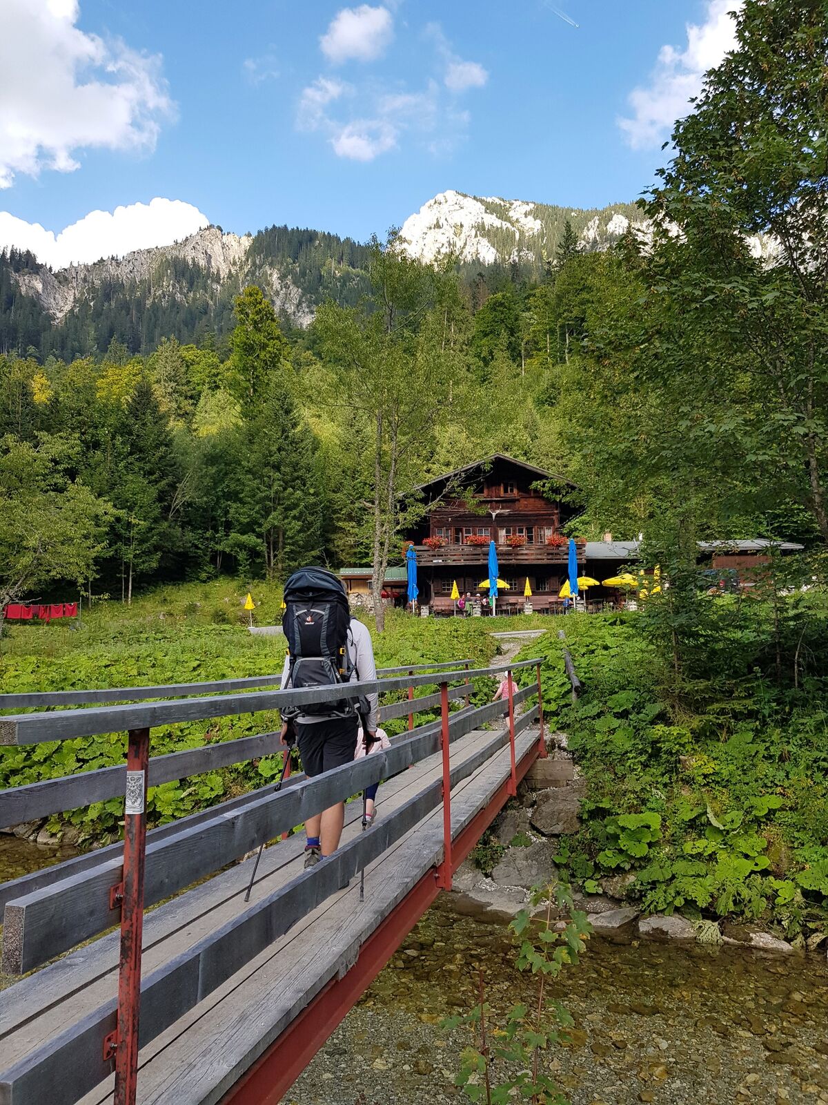
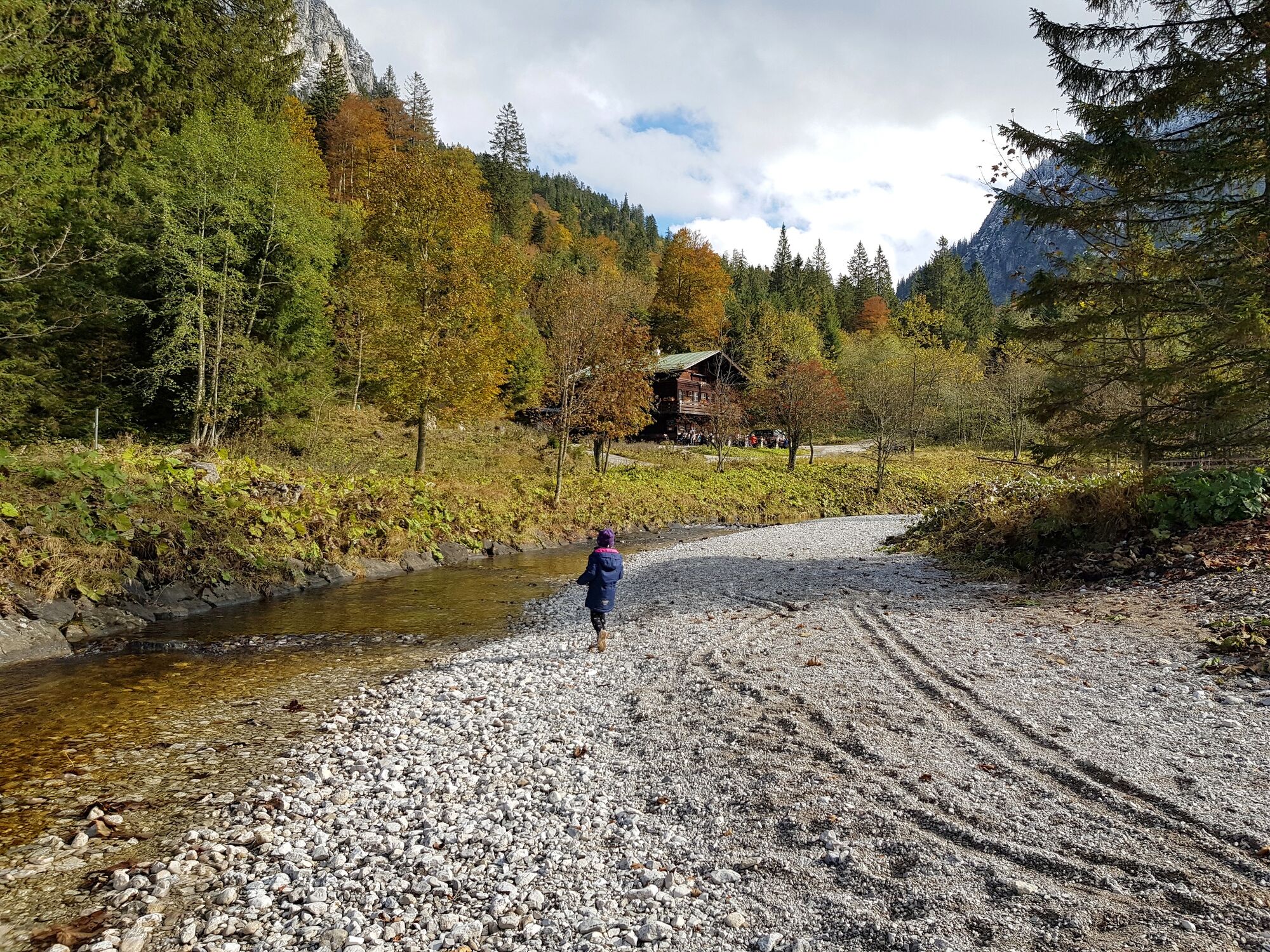
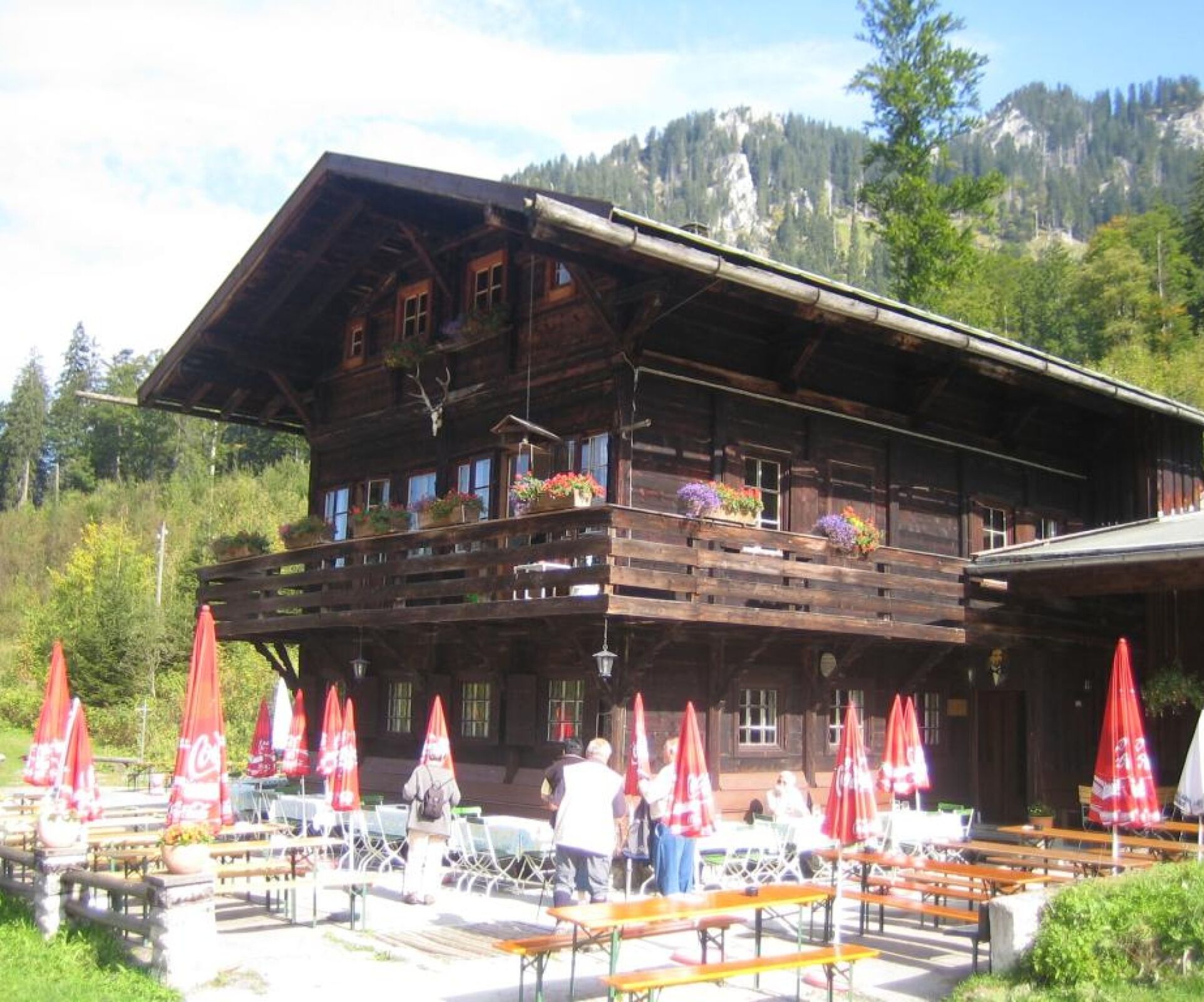
Refreshment stop
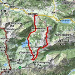
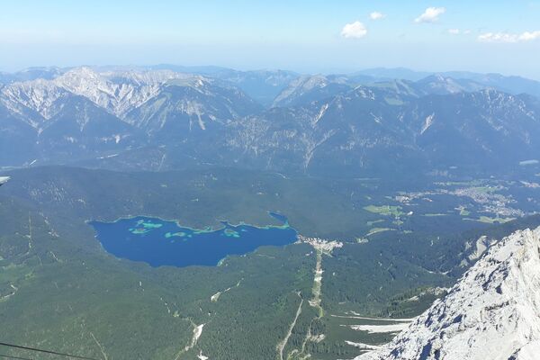
Other tours in the regions
-
Naturparkregion Reutte
1428
-
Hohenschwangau
526


 bzw. Vilsalpsee")
