© Unbekannt - Allgäu GmbH

© Markt Altusried - Daniel Käß

- Brief description
-
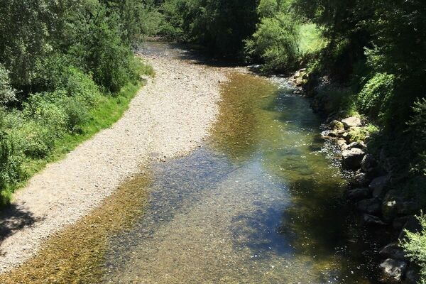
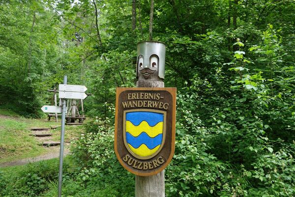
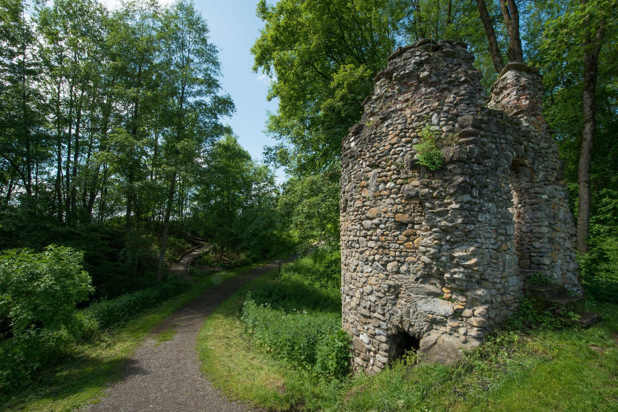
Abwechslungsreiche Rundtour in Altusried, viel durch Wald
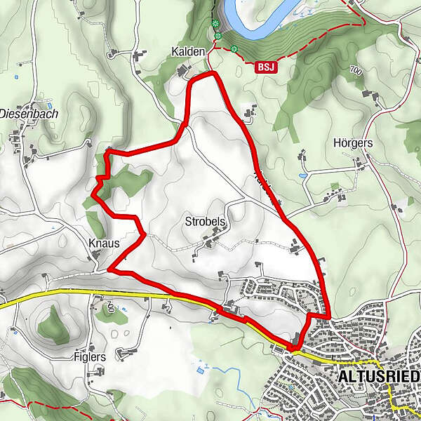
- Route
-
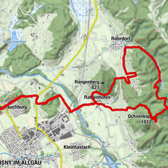
Kalden1.3 kmKnaus3.3 kmAltusried5.1 km
- Highest point
- 740 m
- Endpoint
-
Wertstoffhof Altusried
- Height profile
-
 © outdooractive.com
- Author
-
The tour Altusried - Waldspurt is used by outdooractive.com provided.
GPS Downloads


Other tours in the regions
-
Allgäu
2362
-
Westallgäu
1262
-
Altusried
145