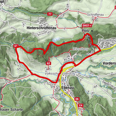
© Tourenportal Berchtesgadener Land - Bergerlebnis Berchtesgaden
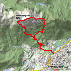
© Tourenportal Berchtesgadener Land - Bergerlebnis Berchtesgaden
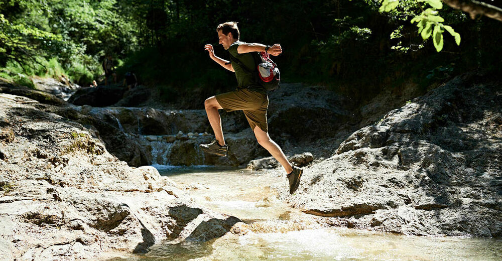
© Tourenportal Berchtesgadener Land - Bergerlebnis Berchtesgaden

© Tourenportal Berchtesgadener Land - Thomas Kujat
Tour data
3.6km
565
- 694m
120hm
10hm
01:15h
- Brief description
-
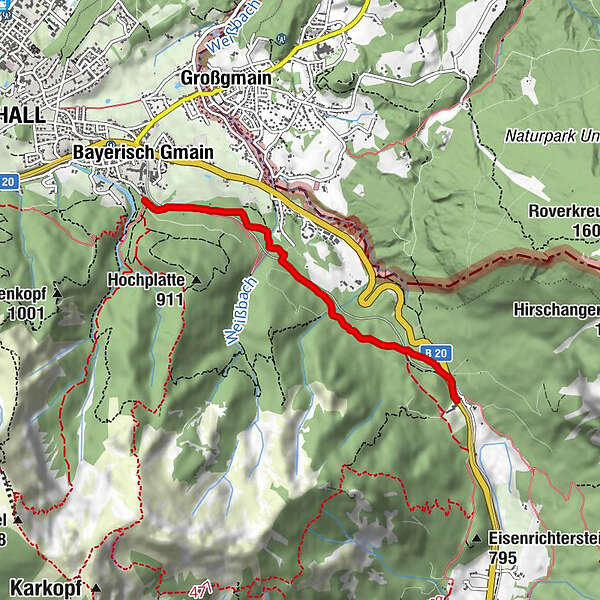
Auf Waldwegen zur Passhöhe Hallthurm
- Difficulty
-
easy
- Rating
-
- Route
-
Bad Reichenhall (473 m)Bayerisch Gmain
- Best season
-
JanFebMarAprMayJunJulAugSepOctNovDec
- Highest point
- 694 m
- Endpoint
-
Bischofswiesen, Hallthurm
- Height profile
-
 © outdooractive.com


- Author
-
The tour Hallthurm is used by outdooractive.com provided.
GPS Downloads


General info
Cultural/Historical
Flora
Other tours in the regions
-
Berchtesgadener Land
1606
-
Bayerisch Gmain
556