


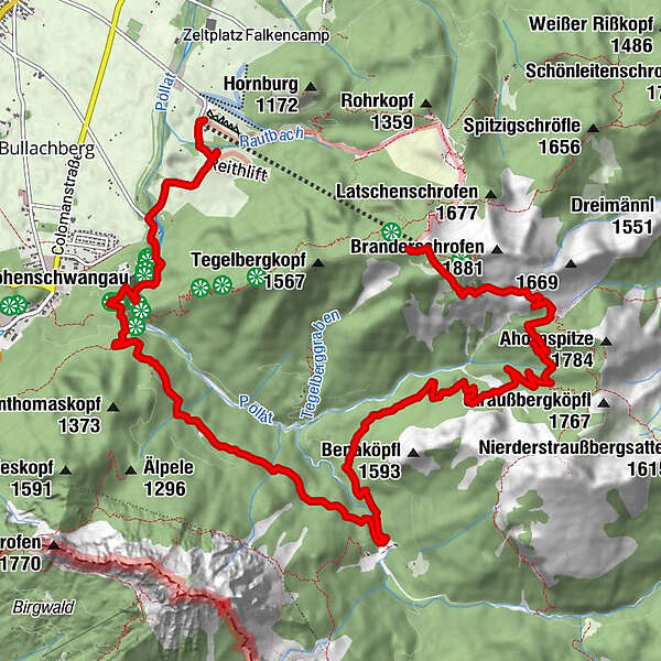
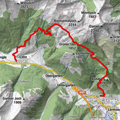
Tour data
14.29km
808
- 1,719m
112hm
1,023hm
03:29h
- Brief description
-
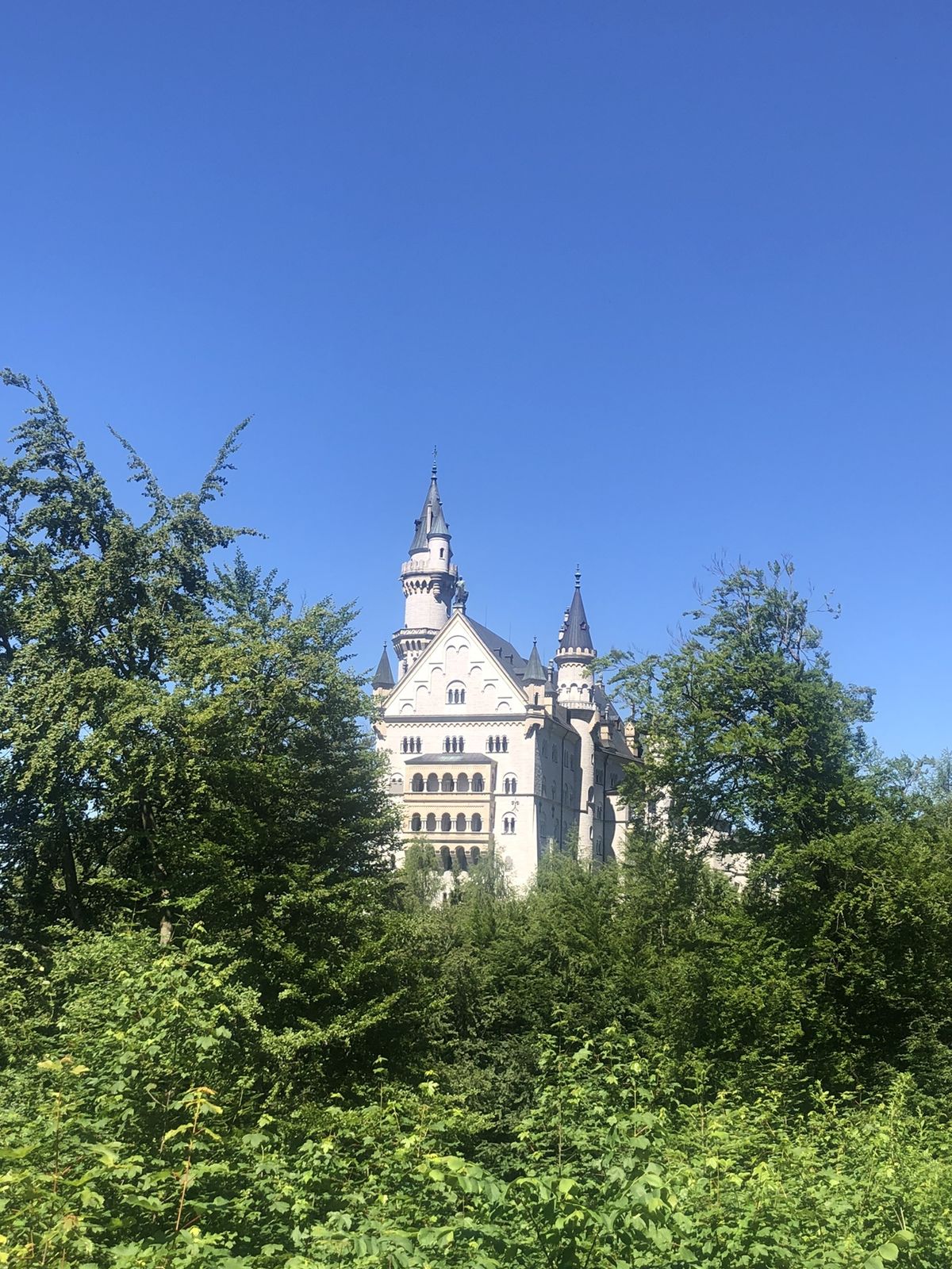
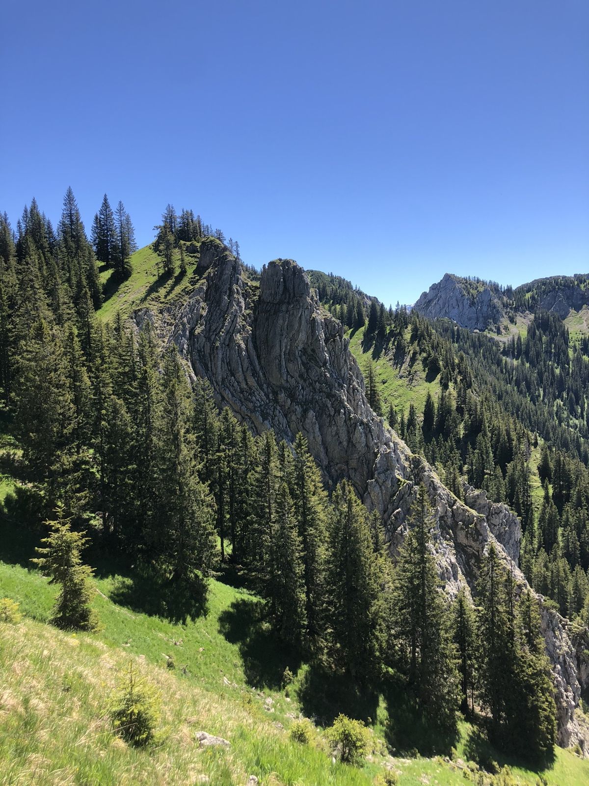
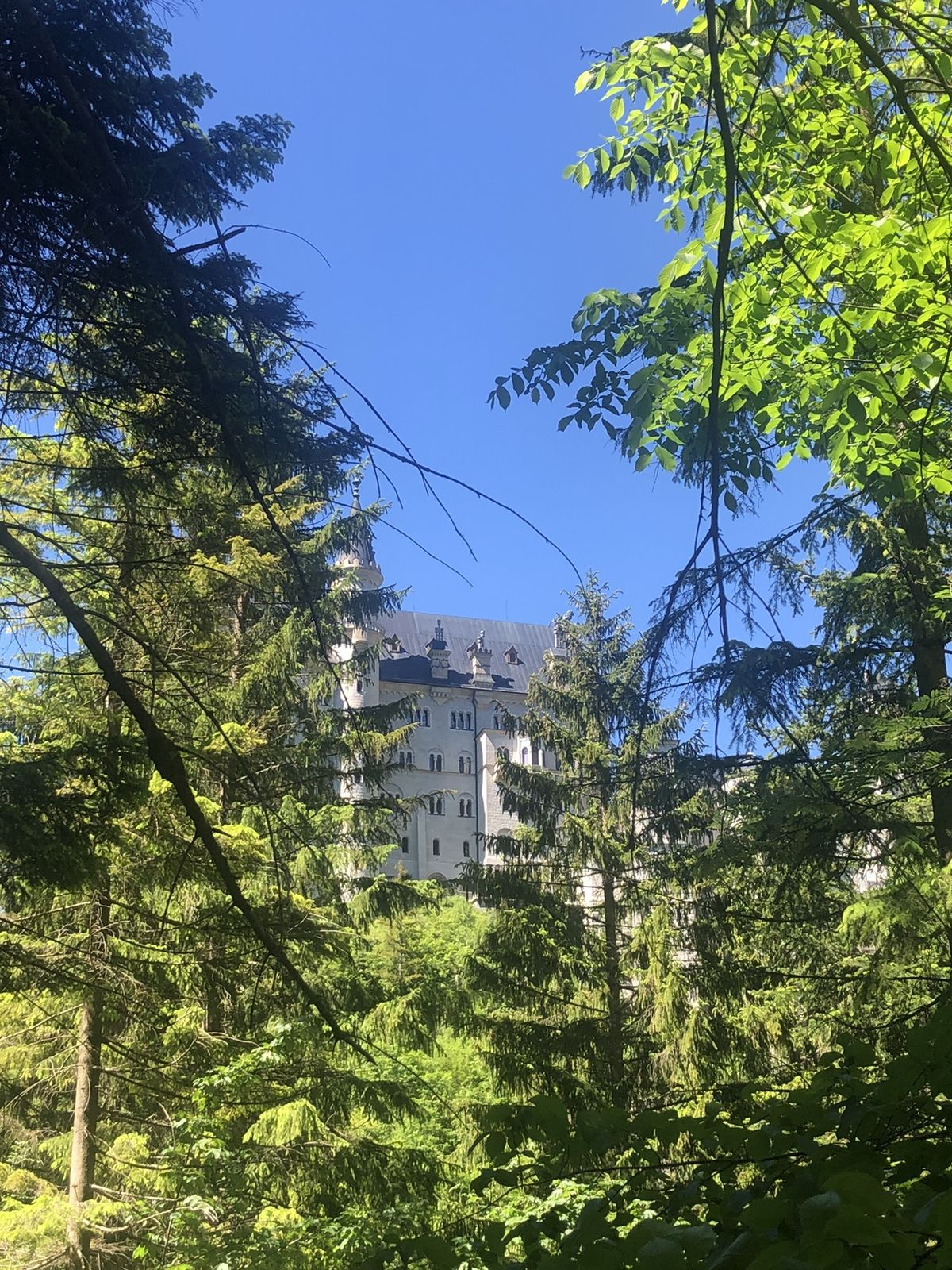
Tegelberg Hohenschwangau
- Difficulty
-
medium
- Rating
-
- Route
-
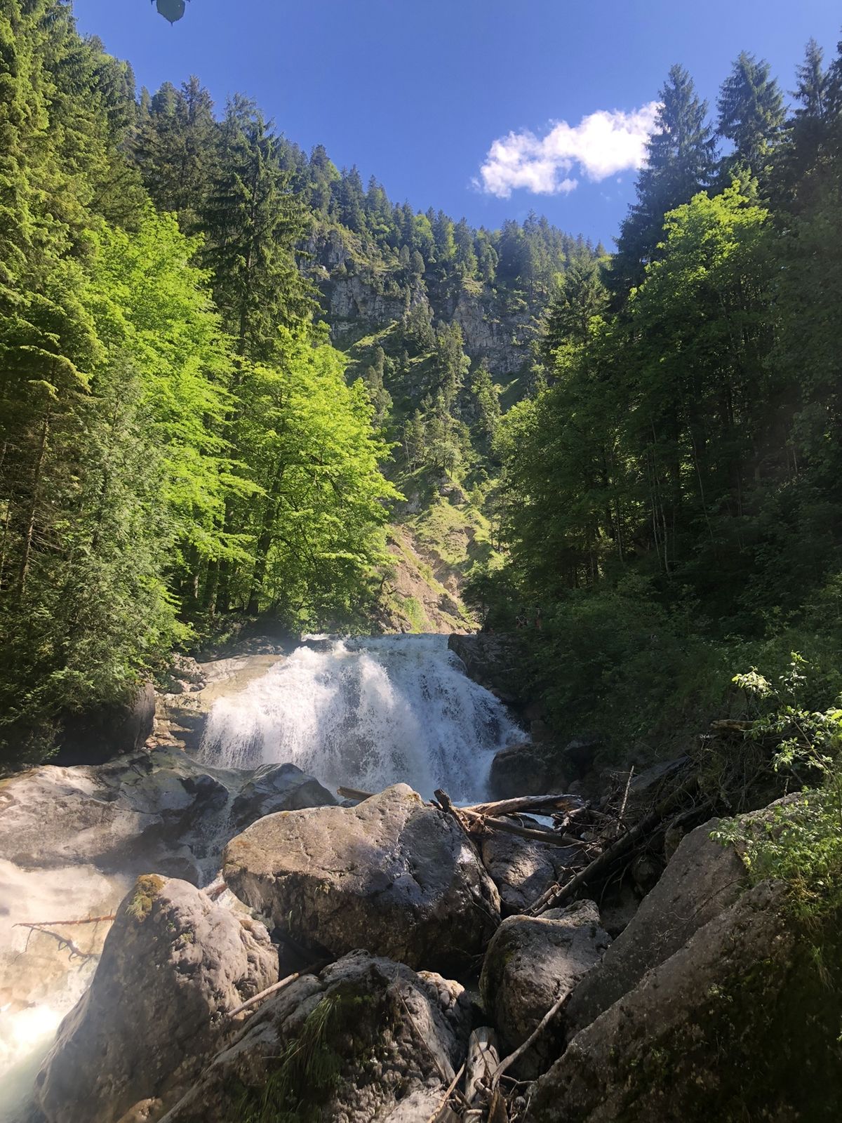
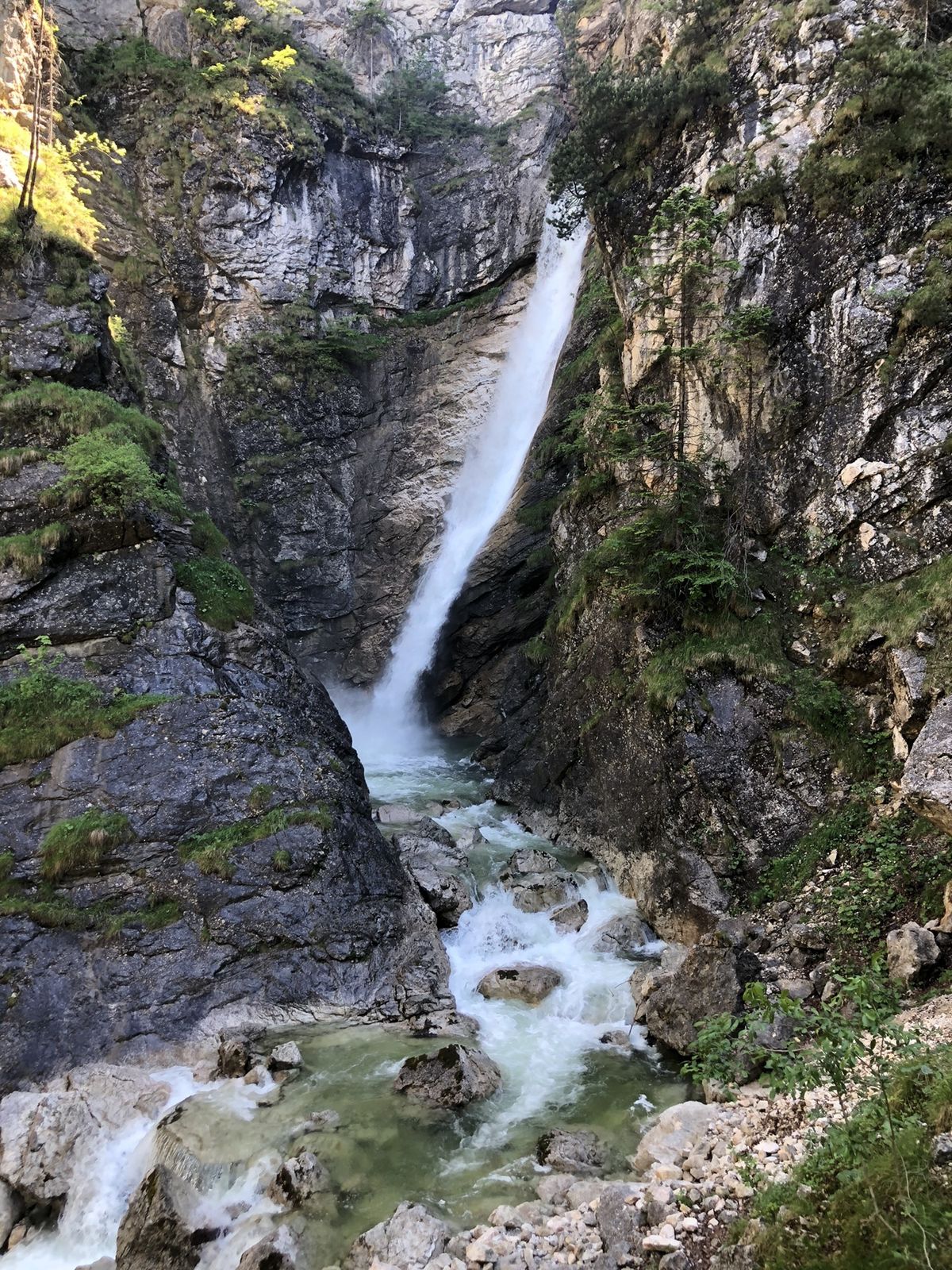
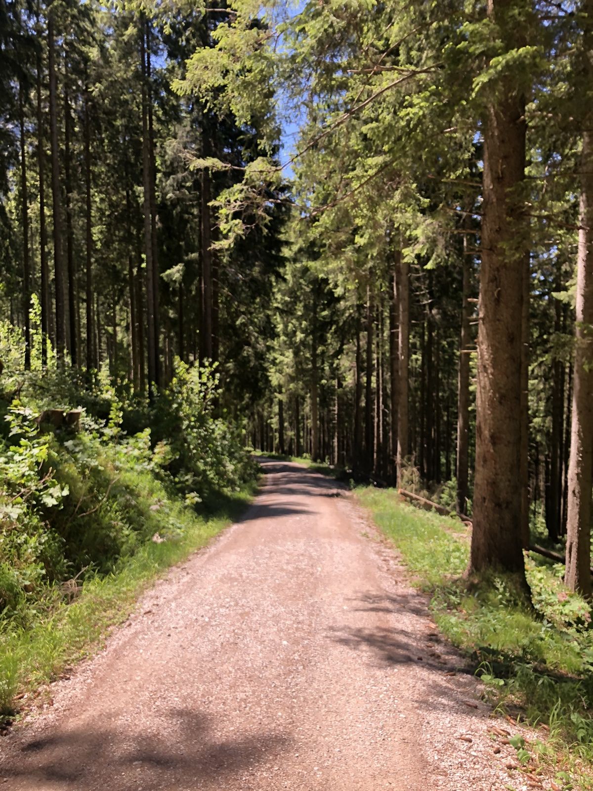
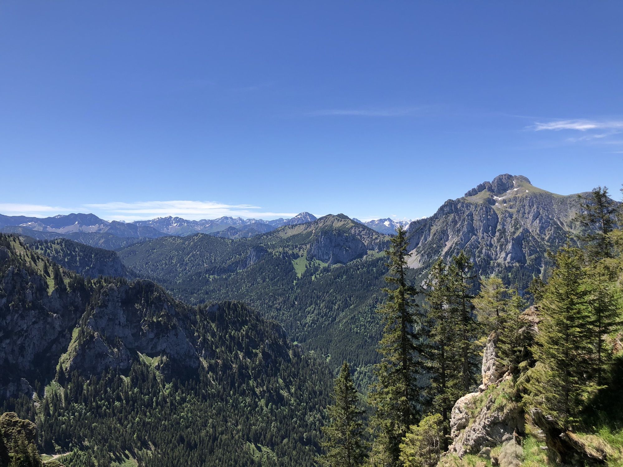
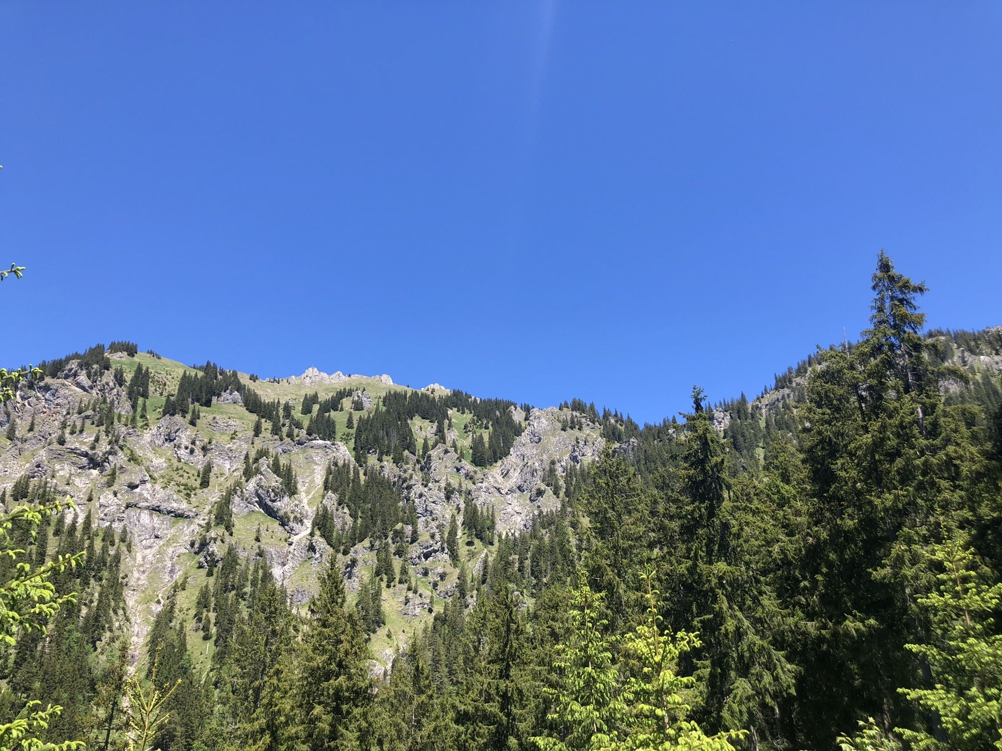
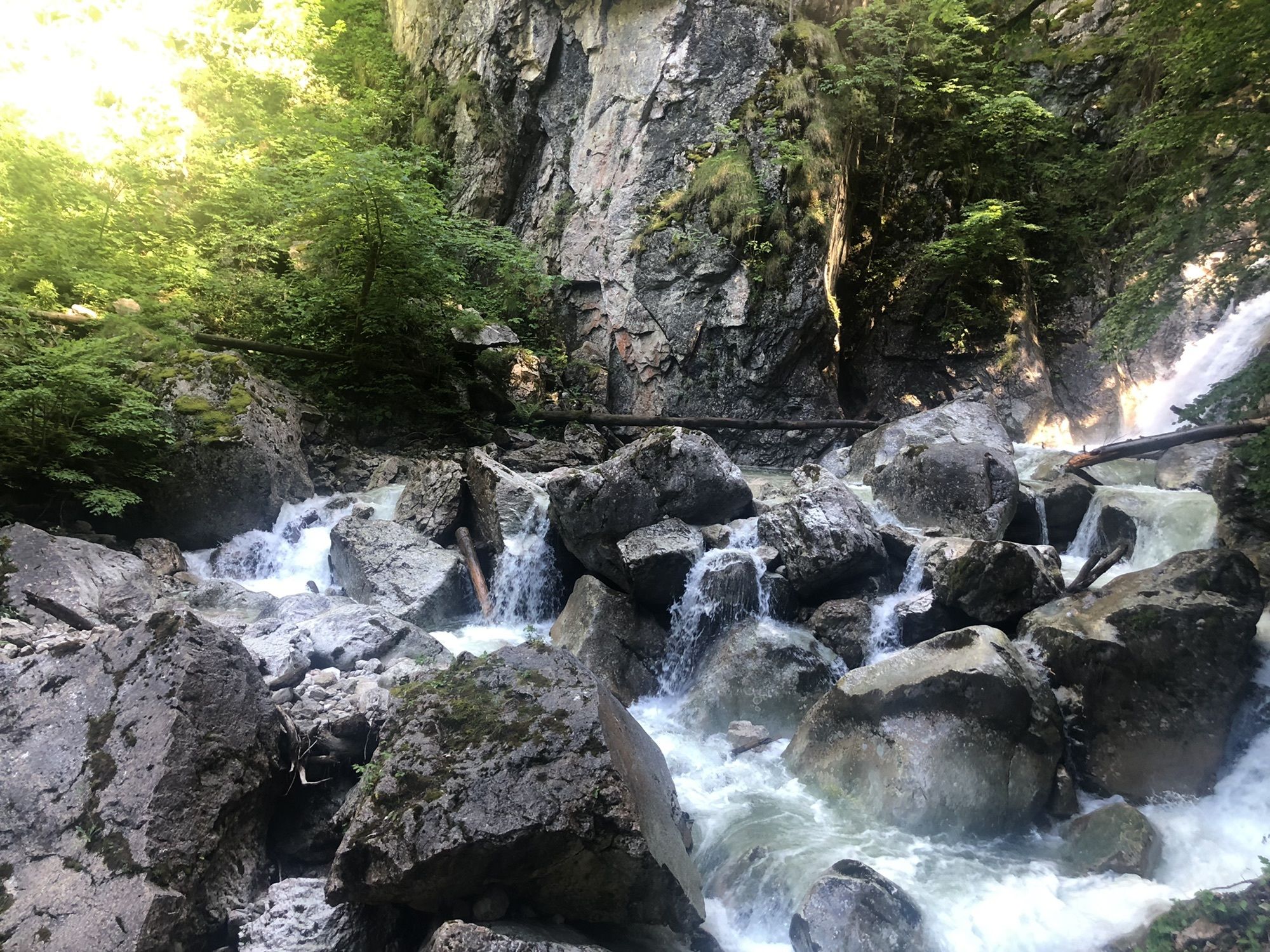
Tegelberghaus (1,707 m)0.1 kmPanorama Restaurant0.1 kmBleckenau (1,160 m)7.5 kmWasserfall unterm Schloss11.4 kmHohenschwangau11.4 kmPanoramablick Schwangau11.4 kmPöllatfall11.8 kmAlpe Reith13.8 kmBistro Ikarus14.1 kmTegelbergbahn (Talstation)14.2 km
- Highest point
- 1,719 m
GPS Downloads


Other tours in the regions


 bzw. Vilsalpsee")


