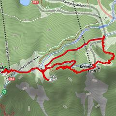
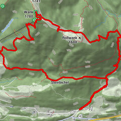
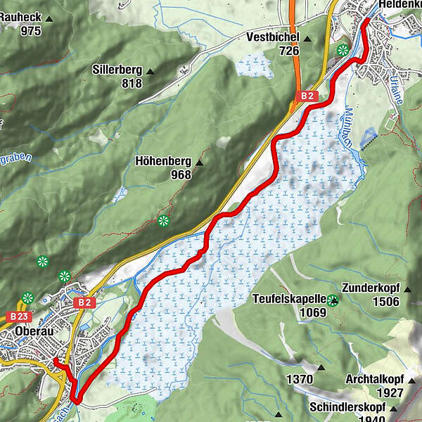
Östlicher Loisachuferweg

Logo Östlicher Loisachuferweg
Tour data
7.24km
639 - 661m
Distance
18hm
Ascent
01:30h
 
Duration
Brief description

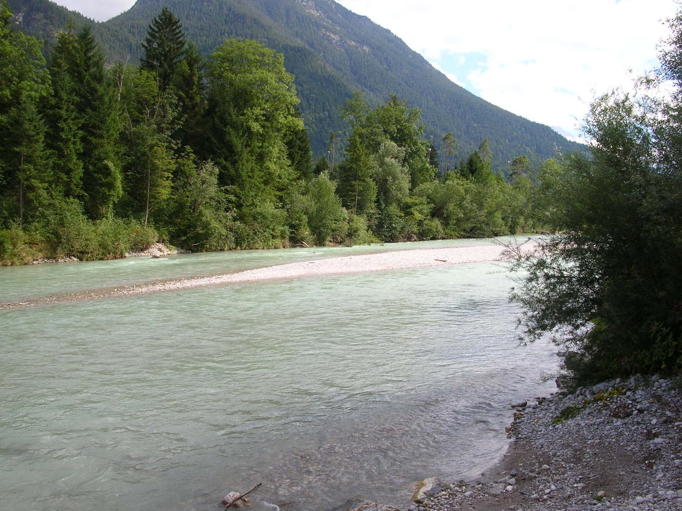
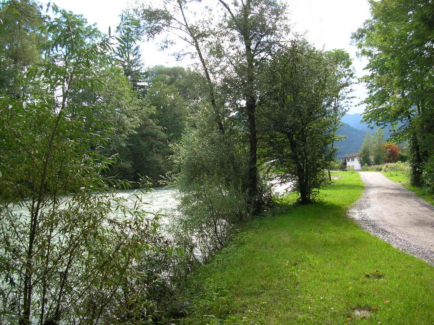
Wanderweg nach Oberau

Difficulty
easy
Rating
Technique
Fitness
Landscape
Experience
Starting point

Eschenlohe

Route
Eschenlohe (636 m)
Taverne Athen
0.0 km
Oberau (659 m)
7.2 km


Best season
Jan
Feb
Mar
Apr
May
Jun
Jul
Aug
Sep
Oct
Nov
Dec
Highest point
661 m

Overall rating

5

0

%

4

0

%

3

0

%

2

0

%

1

0

%

Error
An error has occurred. Please try again.
Thank you for your review

Rating has been deleted

GPS Downloads
  • GPX GPS Exchange Format (XML)
  • KML Google Earth, Google Maps
QR Download Codes for Mobile Phones

Trail conditions

Asphalt
Gravel
Meadow
Forest
Rock
Exposed
Other tours in the regions

Popular tours in the area

Hammersbach - Höllental - Hupfleitenjoch - Kreuzeck

medium Hiking
15.43km | 1265hm | 04:44h

Wank

medium Hiking
12.7km | 922hm | 04:42h