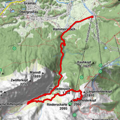
Tour data
25.04km
626
- 1,629m
1,025hm
1,033hm
09:00h
- Brief description
-
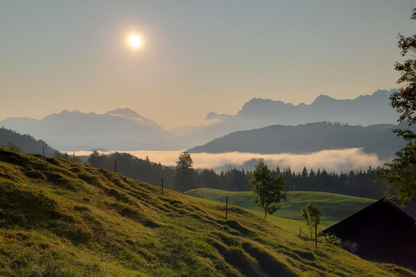
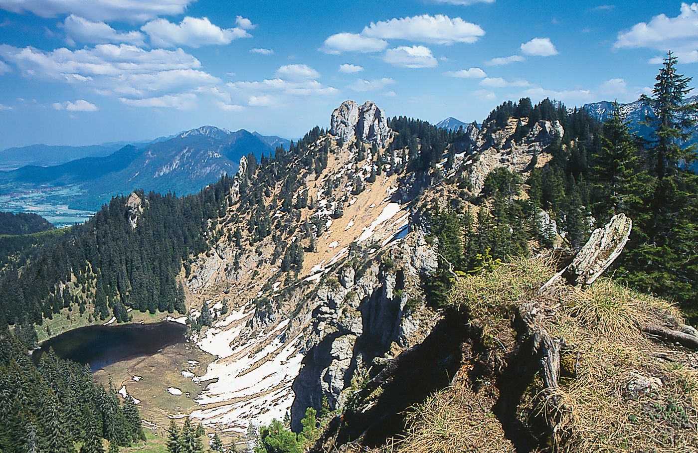
Bergtour mit der Möglichkeit entweder zum Ettaler Mandl oder zum Laber aufzusteigen
- Difficulty
-
medium
- Rating
-
- Starting point
-
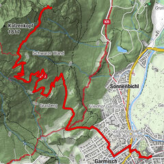
Eschenlohe
- Route
-
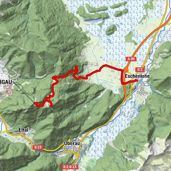
Eschenlohe (636 m)Plaicken4.0 kmSoila-Alm9.8 kmEttaler Manndl (1,633 m)11.1 kmLaber (1,682 m)13.1 kmLaber-Bergbahn13.2 kmDie Laberei13.2 kmPlaicken20.9 kmEschenlohe (636 m)24.9 km
- Best season
-
JanFebMarAprMayJunJulAugSepOctNovDec
- Highest point
- 1,629 m
GPS Downloads


Trail conditions
Asphalt
Gravel
Meadow
Forest
Rock
Exposed
Other tours in the regions
-
Zugspitz Region
1358
-
Oberau
517