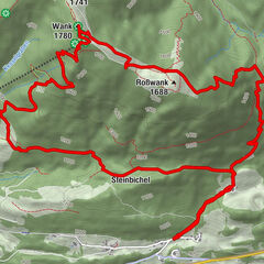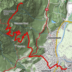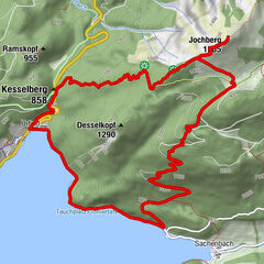
Tour data
9.42km
628
- 844m
166hm
165hm
03:00h
- Brief description
-
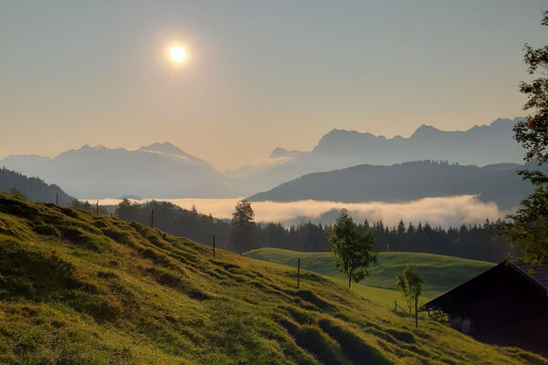
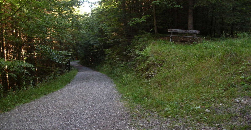
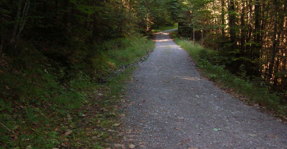
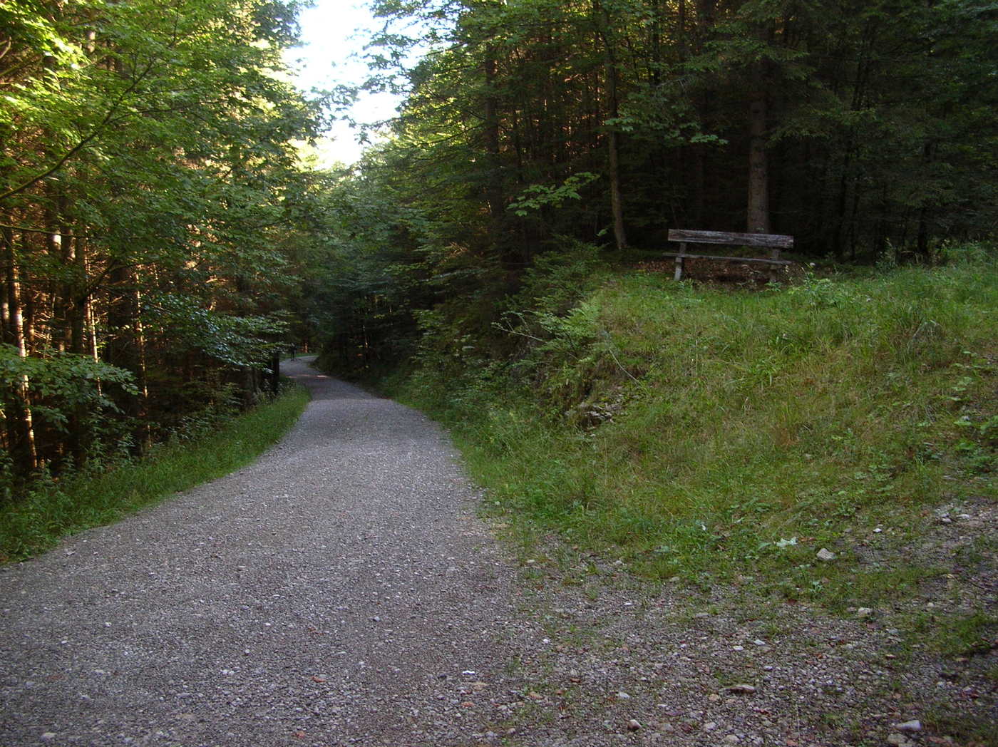
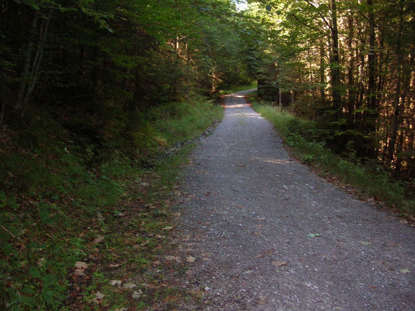
Schöner Wanderweg mit einigen Steigungen
- Difficulty
-
medium
- Rating
-
- Route
-
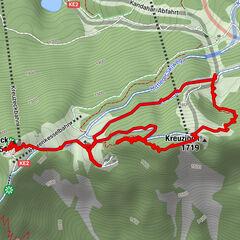
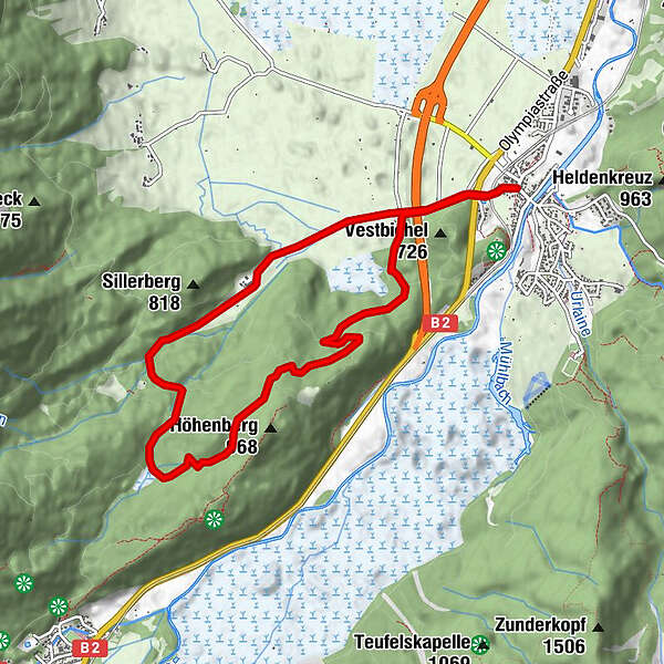
Eschenlohe (636 m)Höllenstein2.1 kmEschenlohe (636 m)9.2 km
- Best season
-
JanFebMarAprMayJunJulAugSepOctNovDec
- Highest point
- 844 m
GPS Downloads


Trail conditions
Asphalt
Gravel
Meadow
Forest
Rock
Exposed
Other tours in the regions
-
Zugspitz Region
1358
-
Eschenlohe
445