© Arberland Regio
Tour data
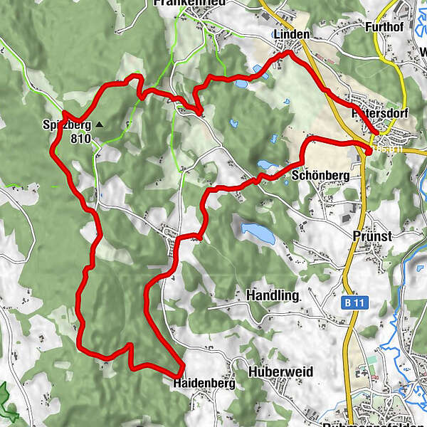
15.66km
497
- 810m
356hm
360hm
04:34h

Die Länderbahn GmbH DLB
- Brief description
-
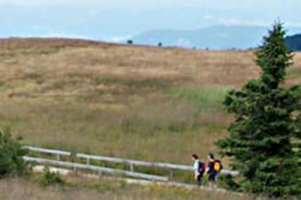
Die Rundwanderung hat eine Länge von 15,7km und eine mittlere Schwierigkeitsstufe. Die Wanderung erfolgt auf naturbelassene Wege.
- Route
-
Patersdorf0.0 kmLinden1.4 kmTradweging3.5 kmBerggasthof Zottling7.1 kmHaidenberg10.1 kmKnabenhof12.2 kmMooshof12.4 kmSchönberg14.4 kmGrünbach14.8 kmPatersdorf15.2 km
- Highest point
- 810 m
- Endpoint
-
Bahnhof Patersdorf
- Height profile
-
 © outdooractive.com
- Author
-
Die Länderbahn GmbH DLBThe tour Panoramasteig ab Bahnhof Patersdorf is used by outdooractive.com provided.
GPS Downloads


Other tours in the regions
-
Arberland
503
-
Patersdorf
196