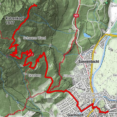
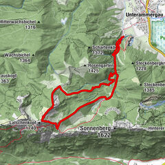
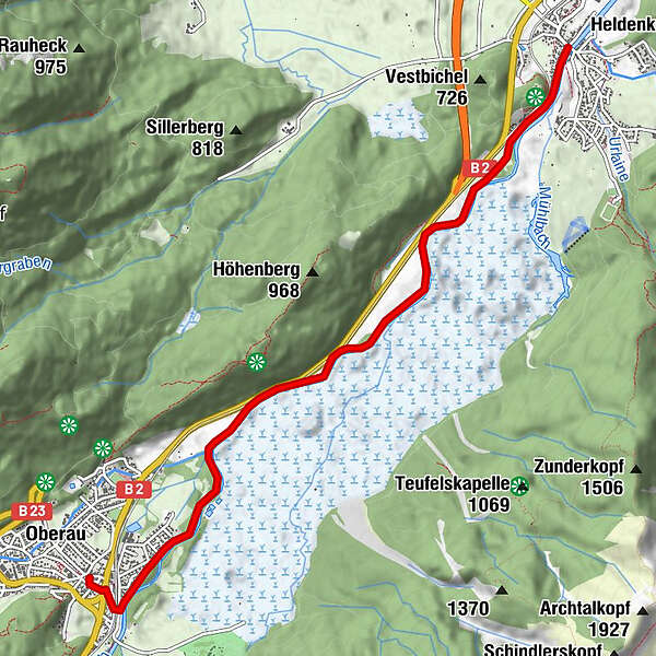
Tour data
6.62km
639
- 700m
51hm
01:30h
- Rating
-
- Route
-
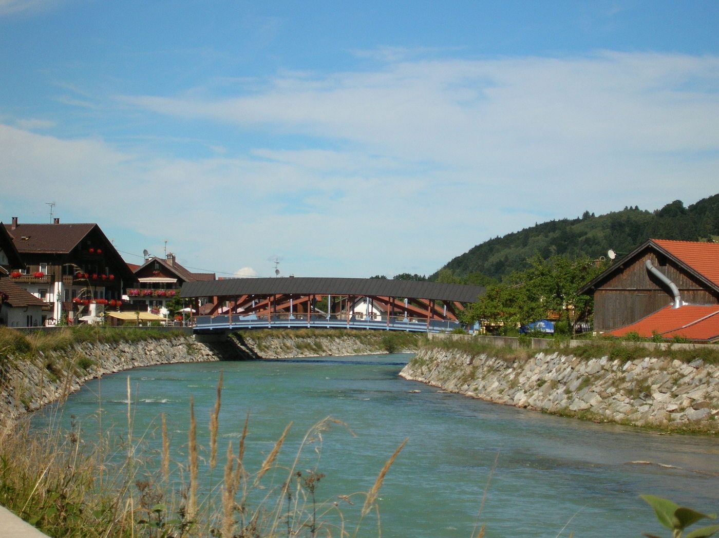
Oberau (659 m)0.0 kmÖlbergkapelle6.0 kmTaverne Athen6.3 kmGasthaus zur Brücke6.4 kmEschenlohe (636 m)6.4 km
- Highest point
- 700 m
GPS Downloads


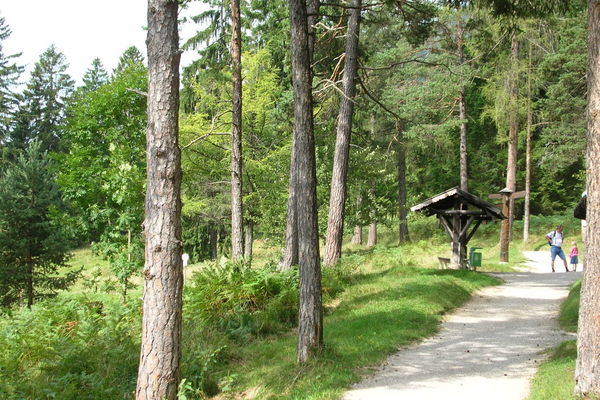
Trail conditions
Asphalt
Gravel
Meadow
Forest
Rock
Exposed
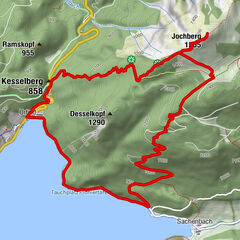
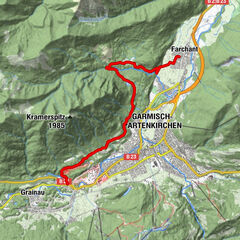
Other tours in the regions
-
Zugspitz Region
1358
-
Oberau
517