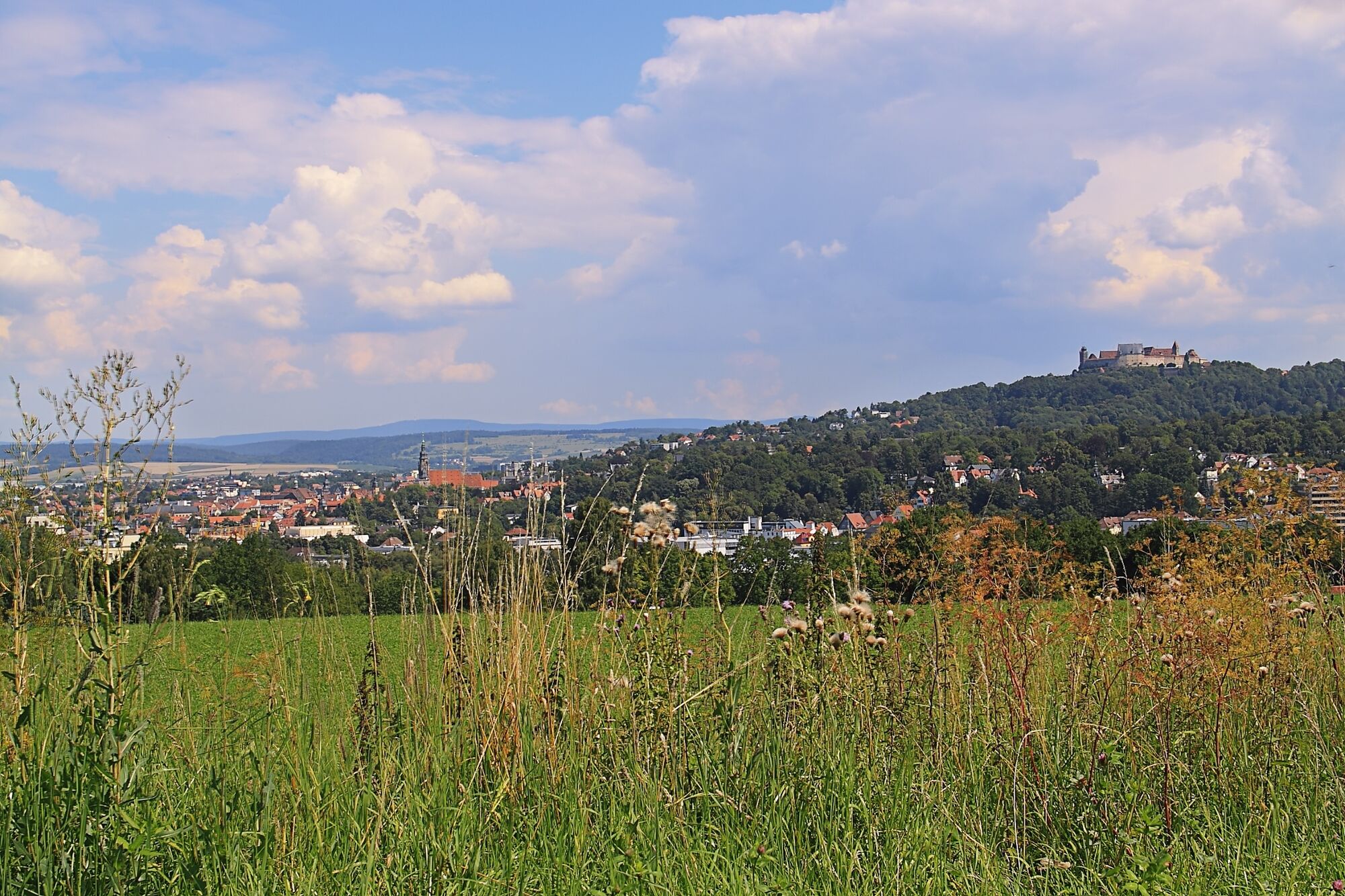
© Urlaubsregion Coburg.Rennsteig - Martina Rohner

© Urlaubsregion Coburg.Rennsteig - Martina Rohner

© Community - Agathe Prommersberger

© Romantik Hotel Schloss Hohenstein

- Brief description
-
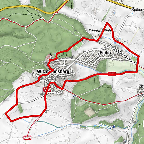
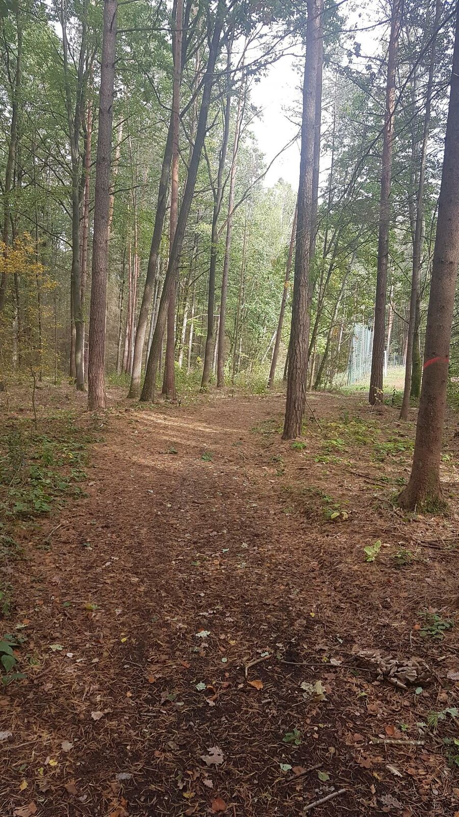
Die 7 Kilometer kurze Strecke rund um die Ortschaften Eicha und Witzmannsberg ist der perfekte Weg für eine gemütliche Wanderung am Waldrand entlang.
- Difficulty
-
medium
- Rating
-
- Route
-
Eicha0.9 kmBrunnenstube Eicha1.5 kmSt. Johannes der Täufer6.5 kmWitzmannsberg6.6 km
- Best season
-
JanFebMarAprMayJunJulAugSepOctNovDec
- Highest point
- 388 m
- Endpoint
-
Ahorn/Witzmannsberg, Freizeitzentrum
- Height profile
-
 © outdooractive.com

- Author
-
The tour Brunnenweg is used by outdooractive.com provided.
GPS Downloads


General info
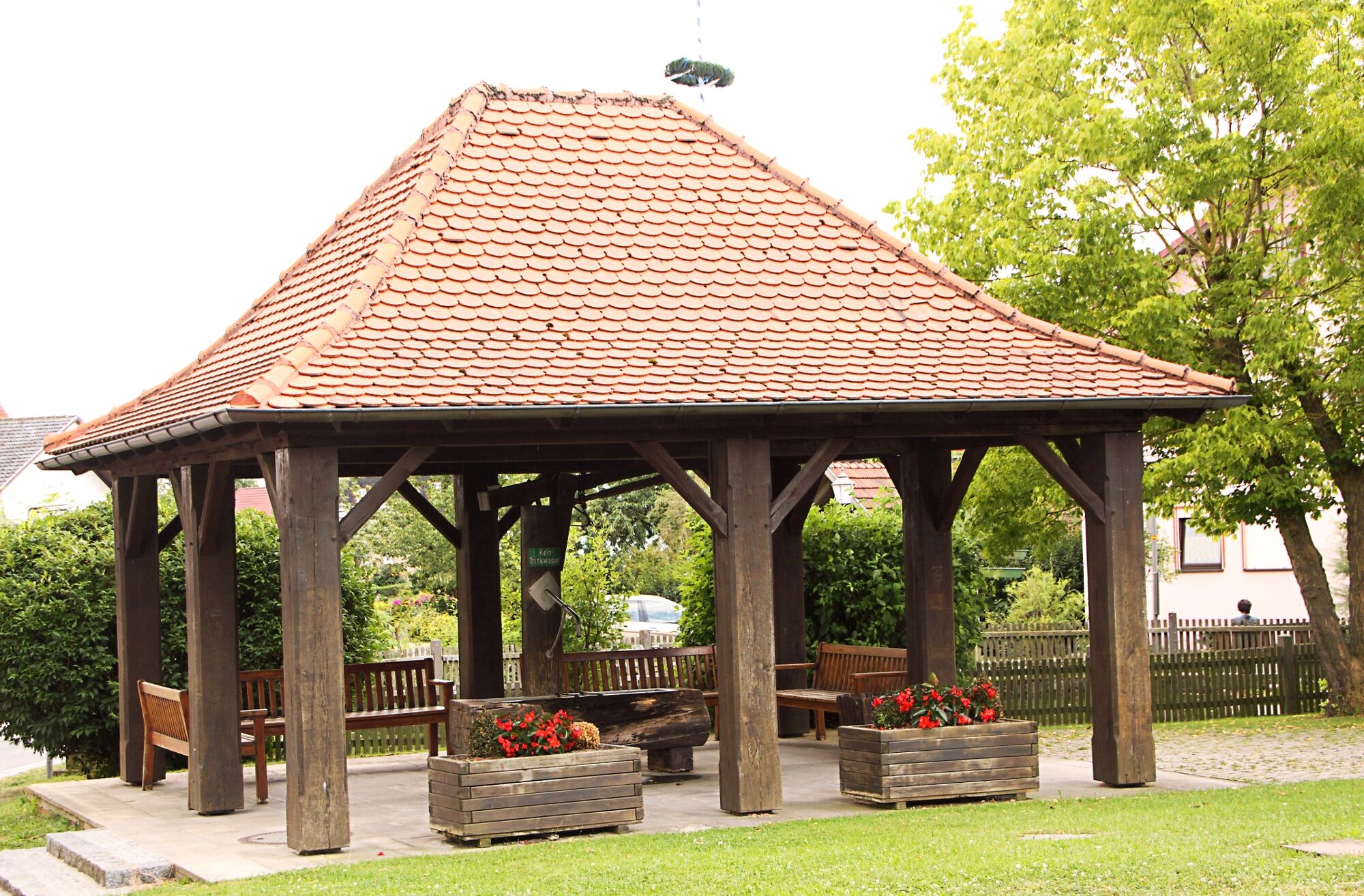
Refreshment stop
Cultural/Historical
A lot of view
Other tours in the regions
-
Coburger Land
333
-
Weitramsdorf
128