


- Brief description
-
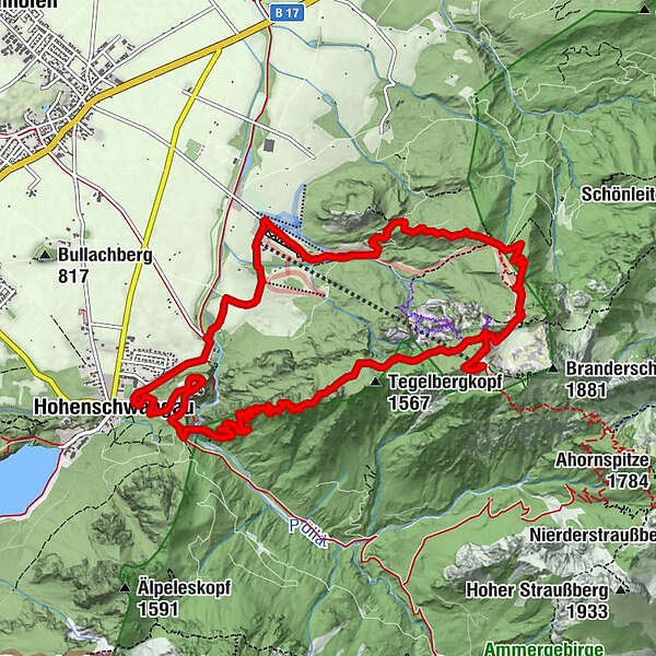
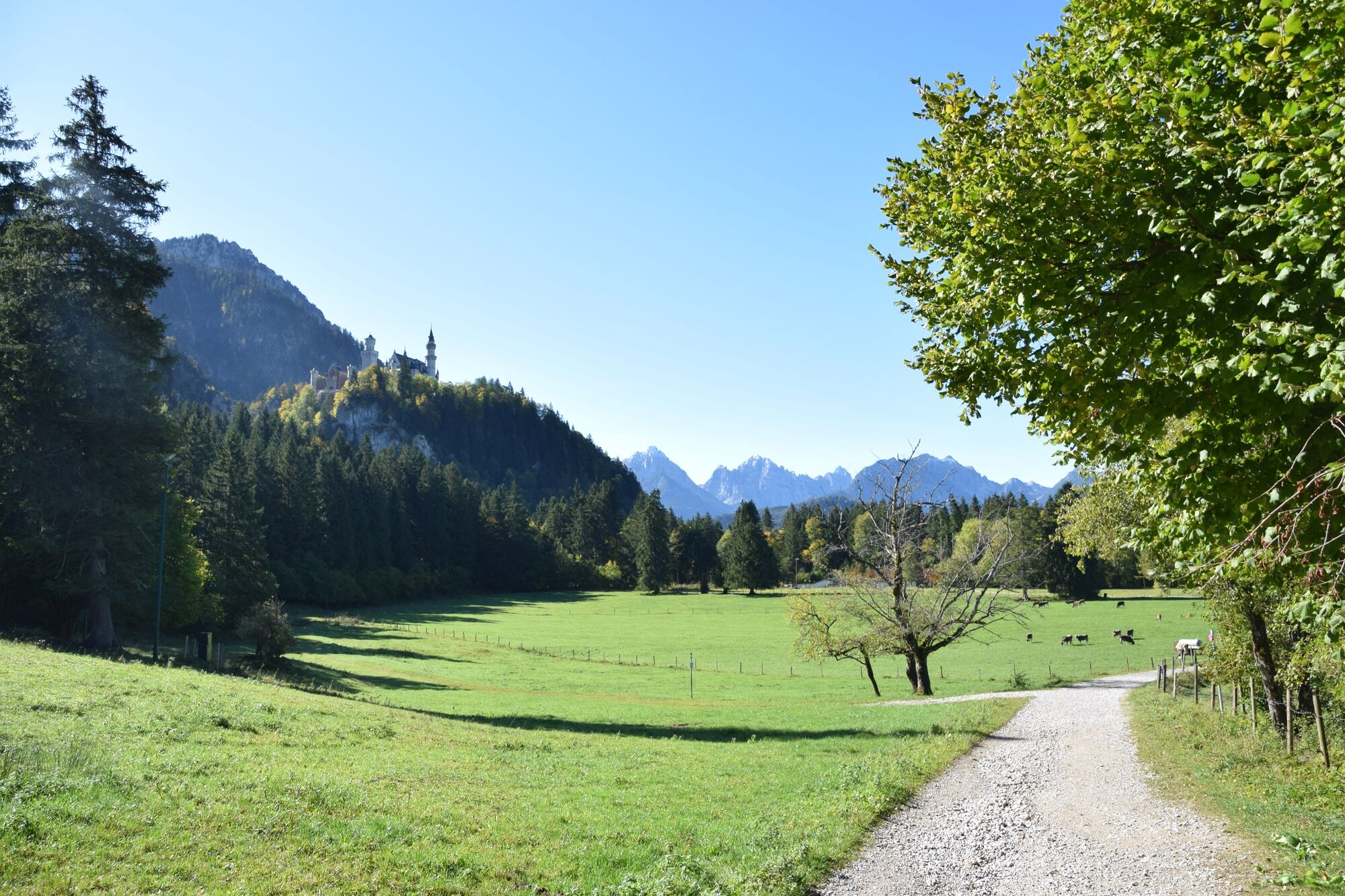
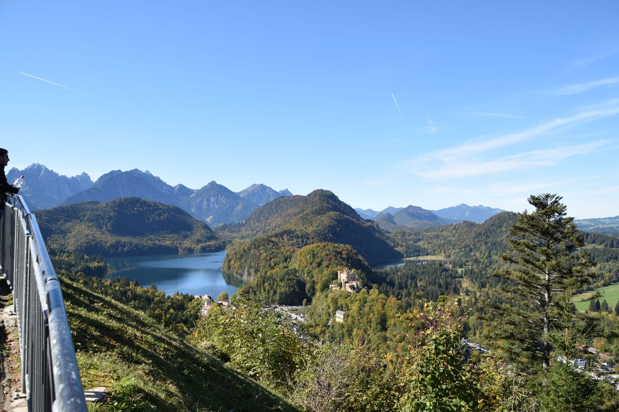
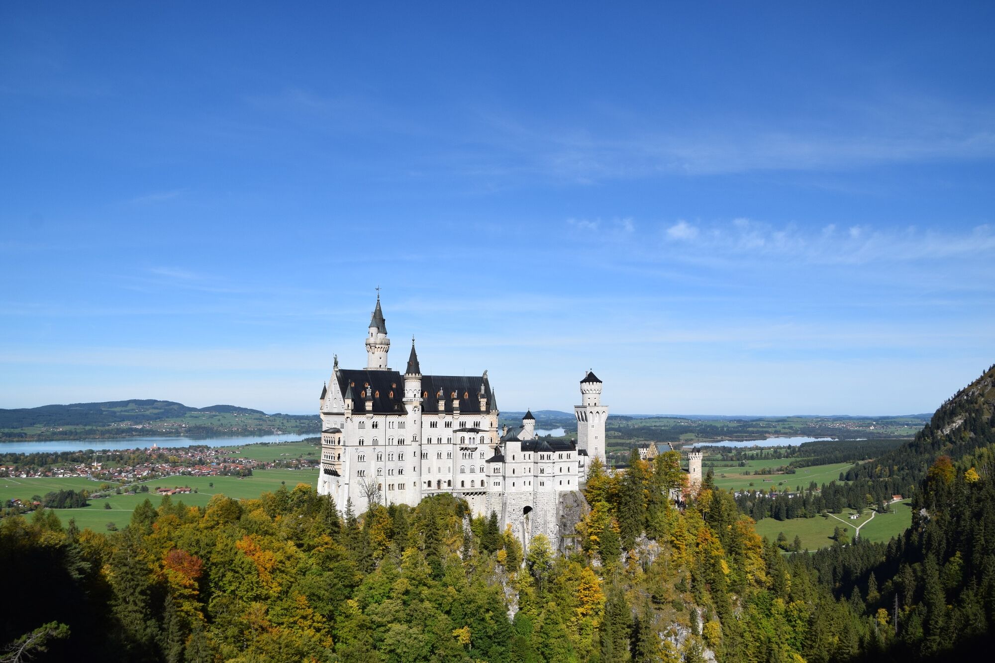
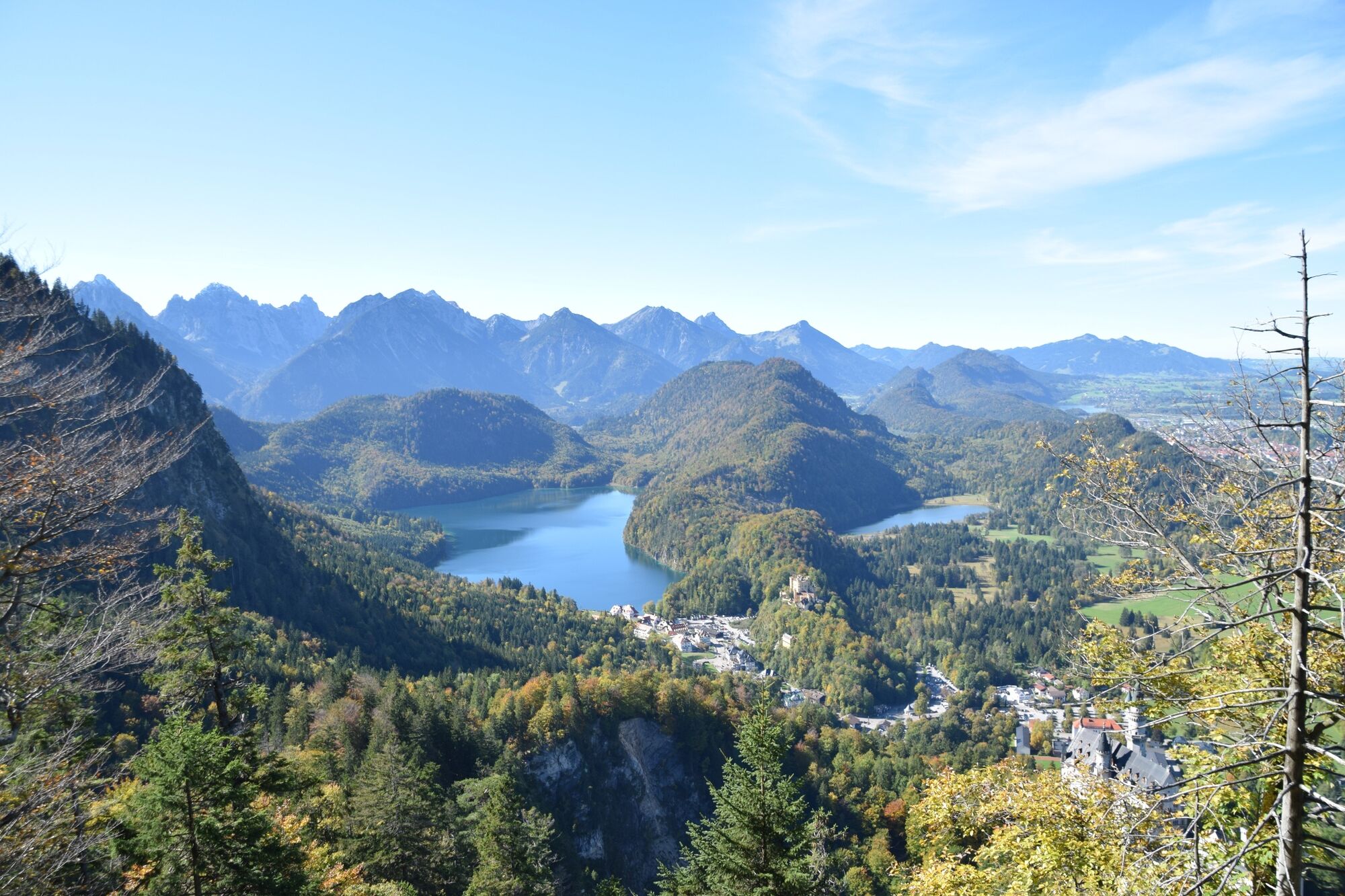
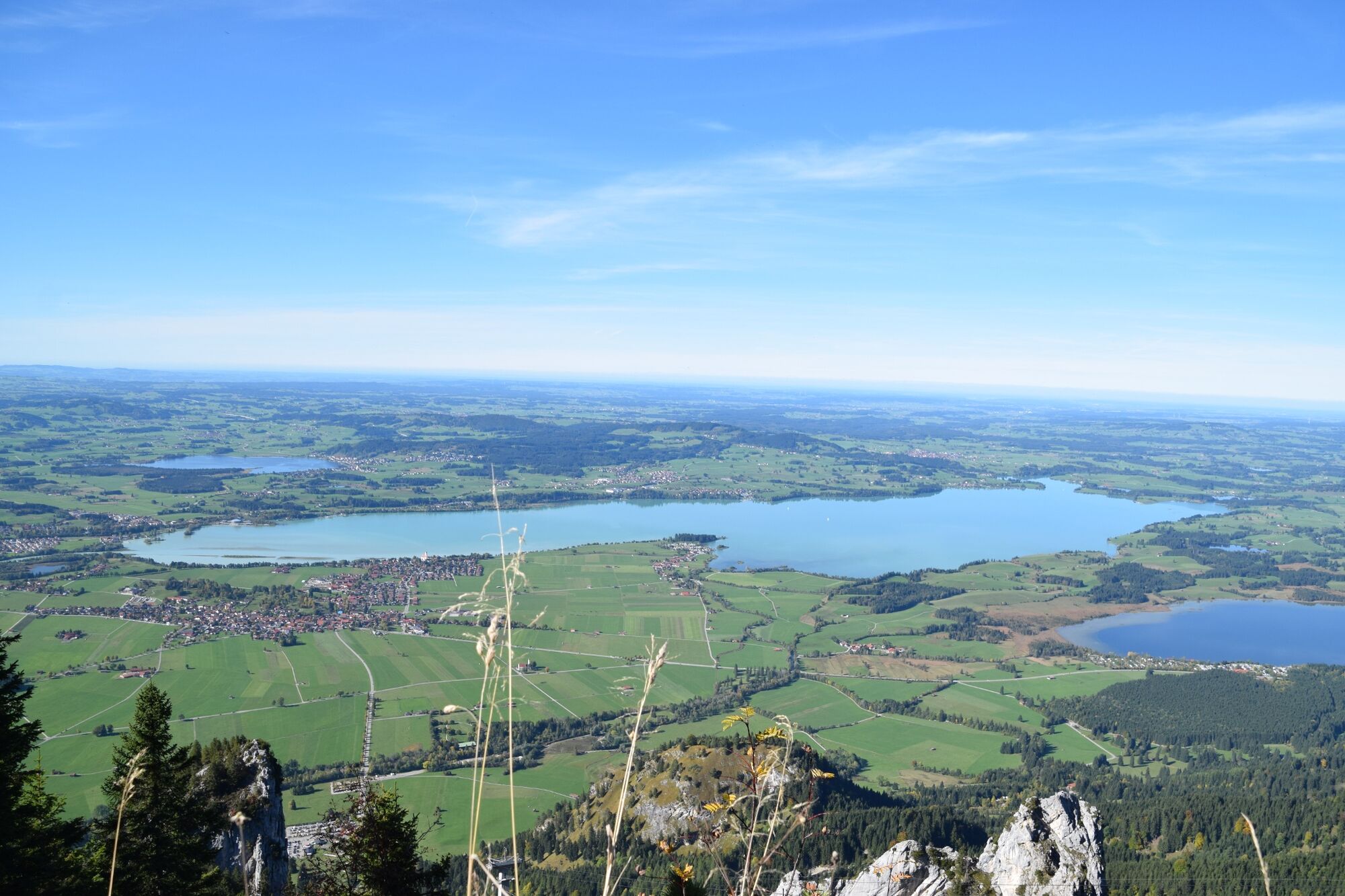
Charming hike over the Marys bridge to the Tegelberg mountain with a view of Neuschwanstein Castle.
- Difficulty
-
difficult
- Rating
-
- Starting point
-
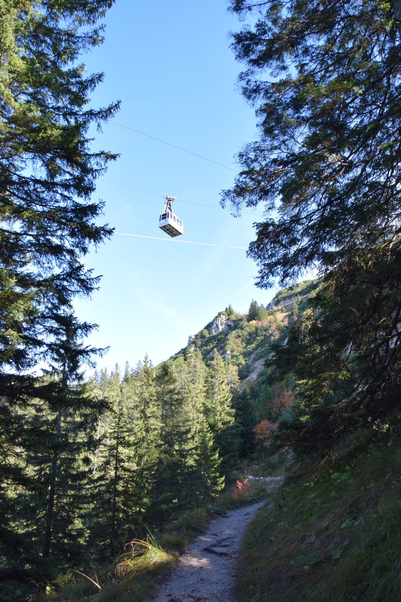
Tegelberg cable car valley station
- Route
-
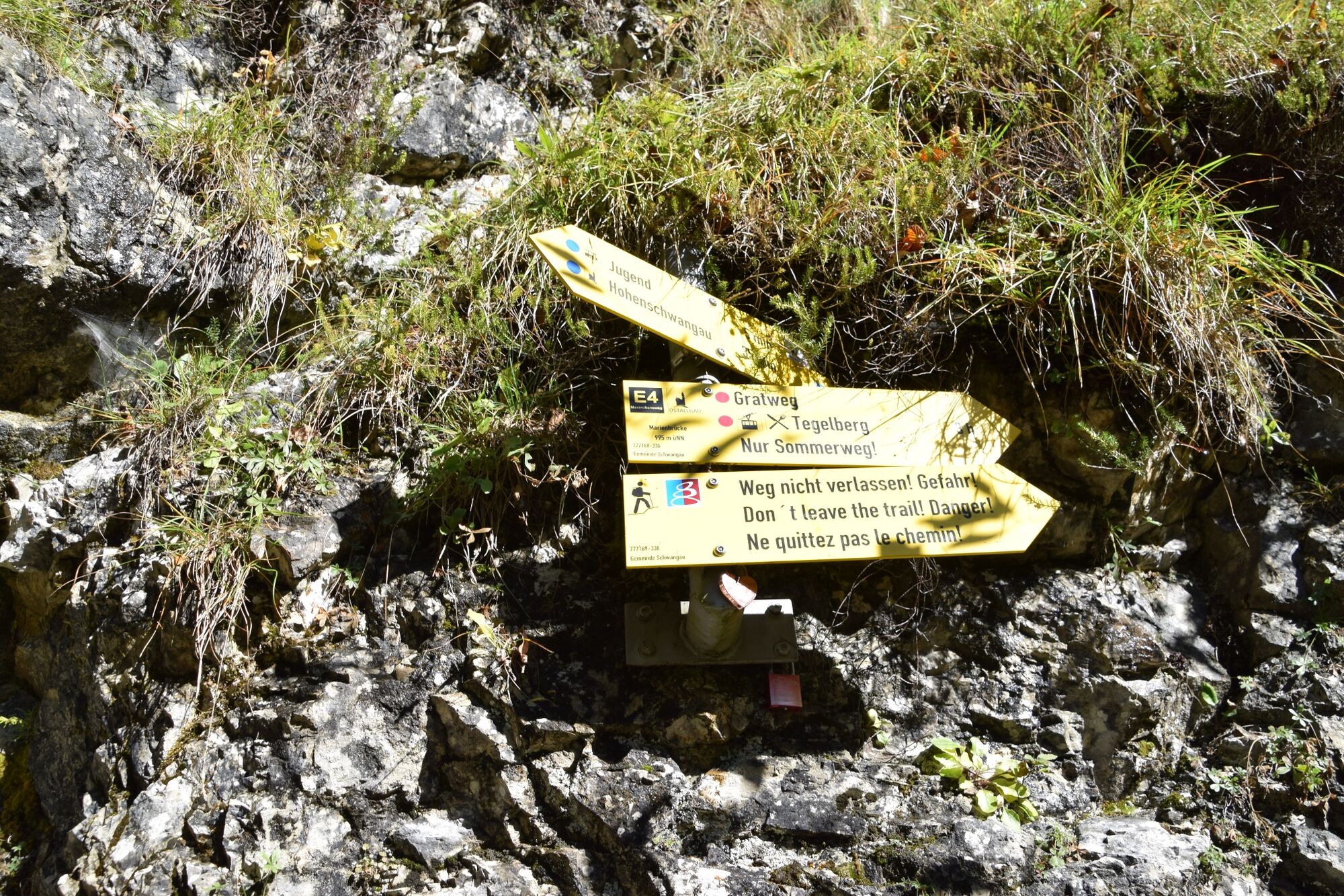
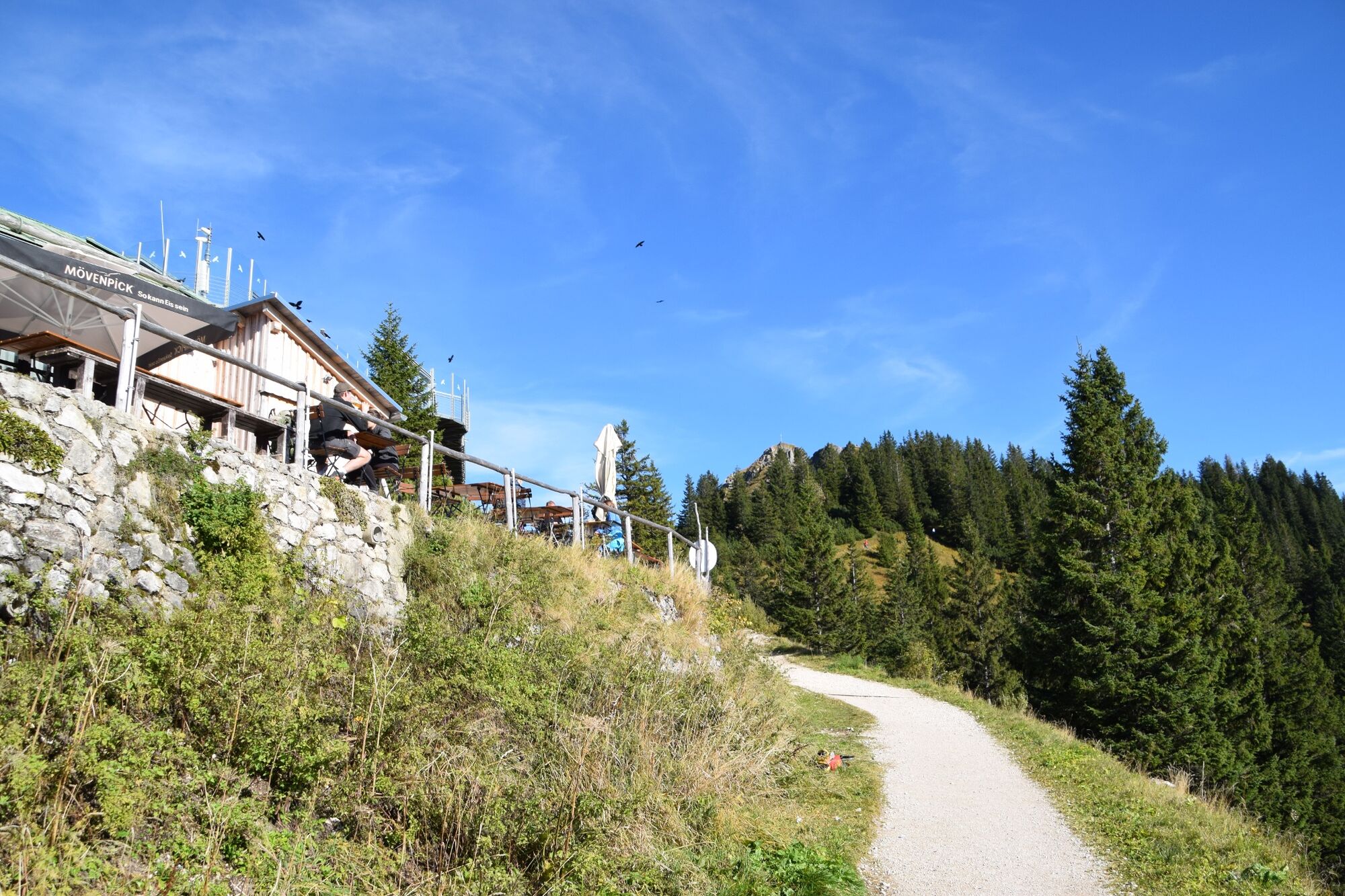
Bistro Ikarus0.0 kmHohenschwangau2.0 kmWasserfall unterm Schloss2.4 kmSchlossrestaurant Neuschwanstein2.8 kmPanoramablick Schwangau3.4 kmPöllatfall3.8 kmQueen Mary's Bridge3.8 kmBest view in town5.1 kmPanorama Restaurant8.8 kmTegelberghaus (1,707 m)8.9 kmRohrkopfhütte11.0 km
- Best season
-
JanFebMarAprMayJunJulAugSepOctNovDec
- Description
-
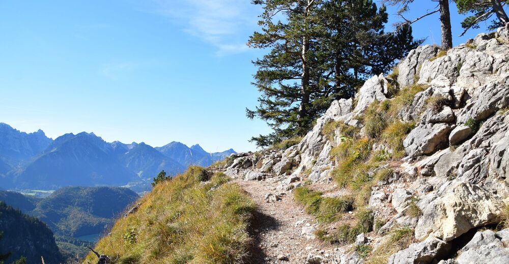
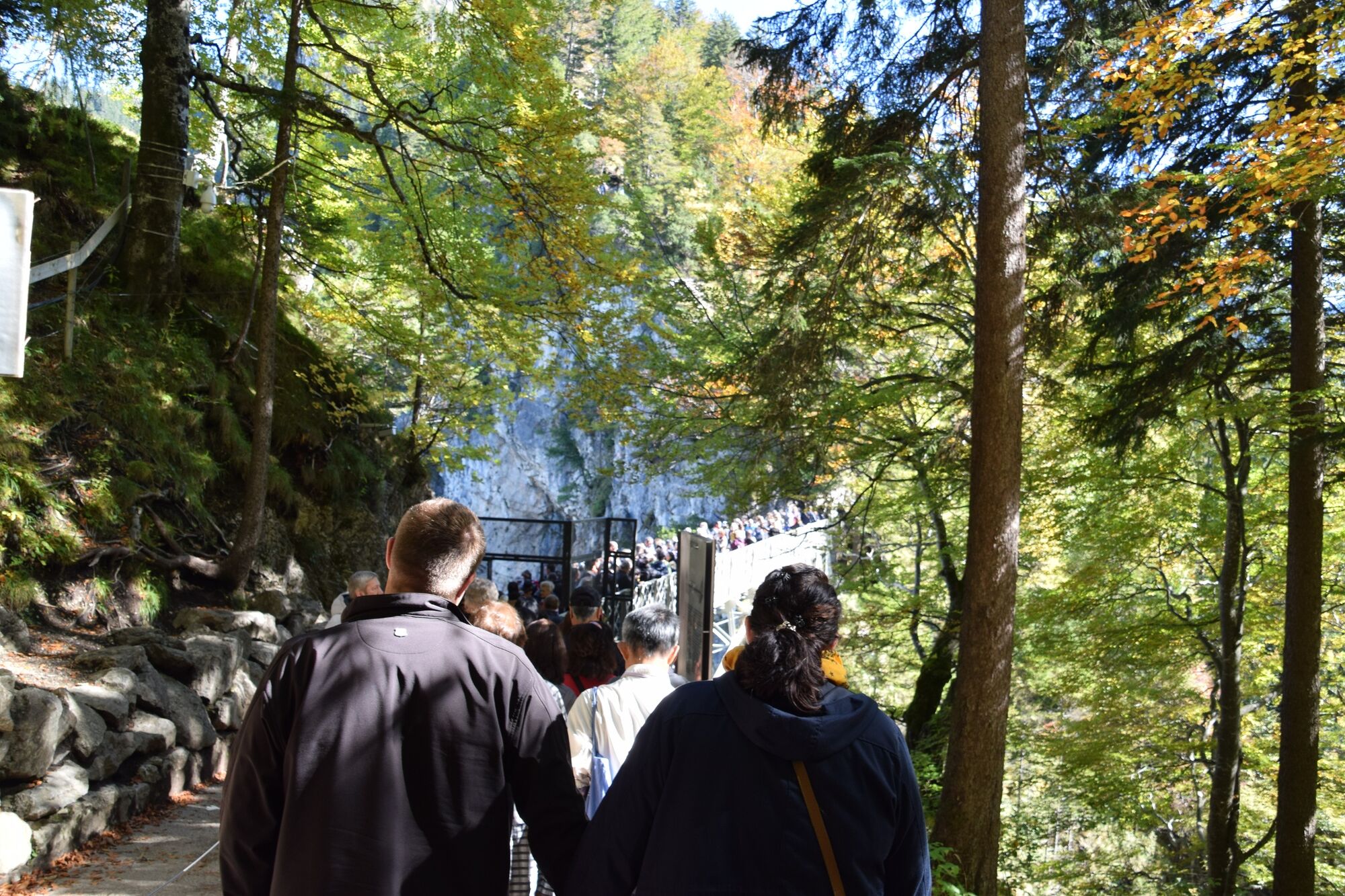
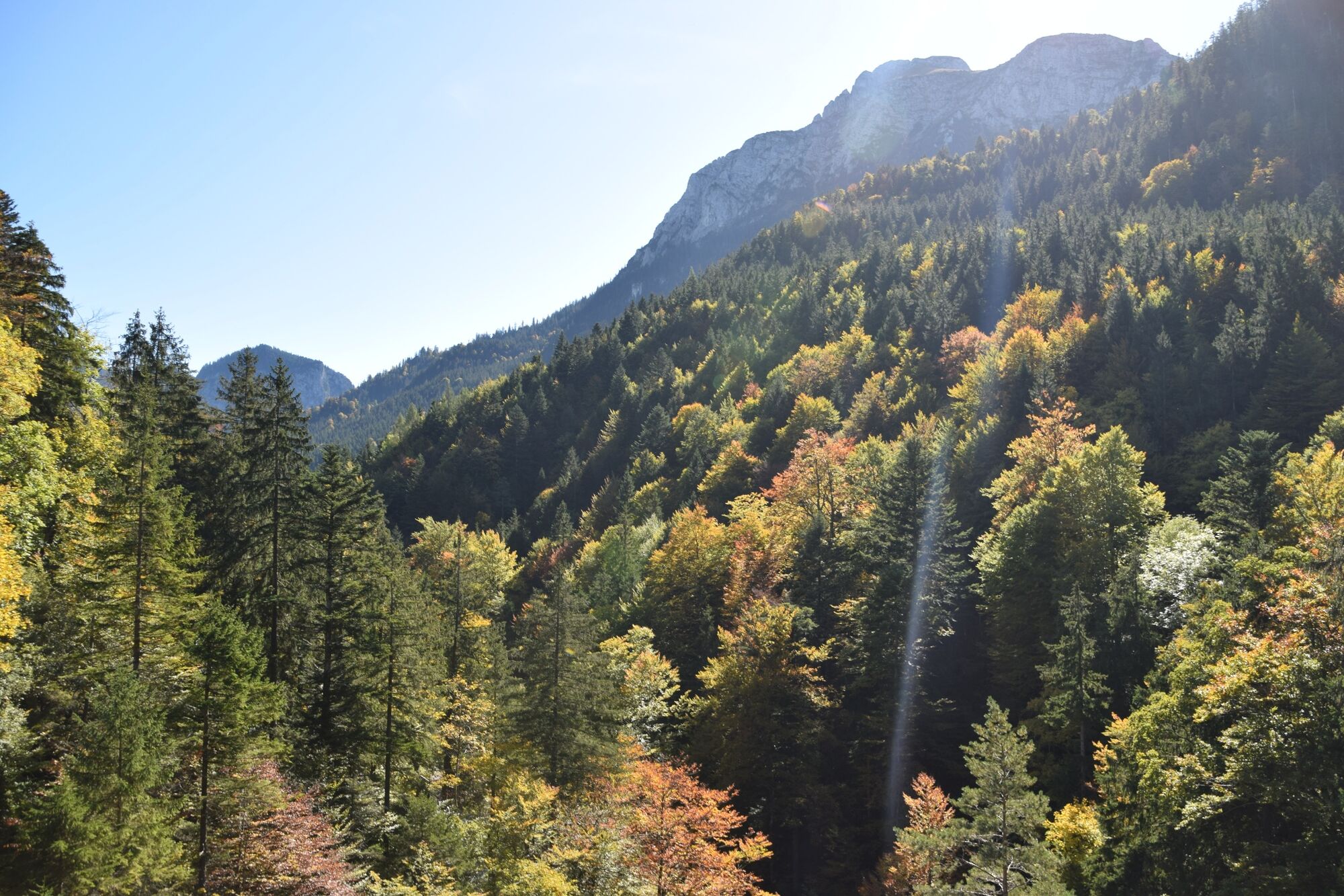
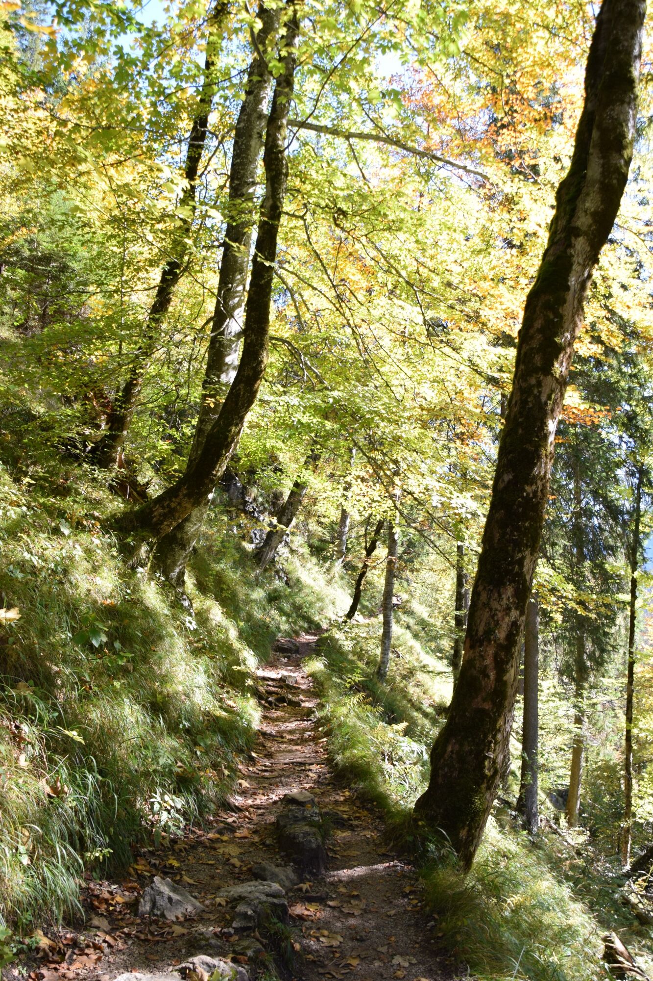
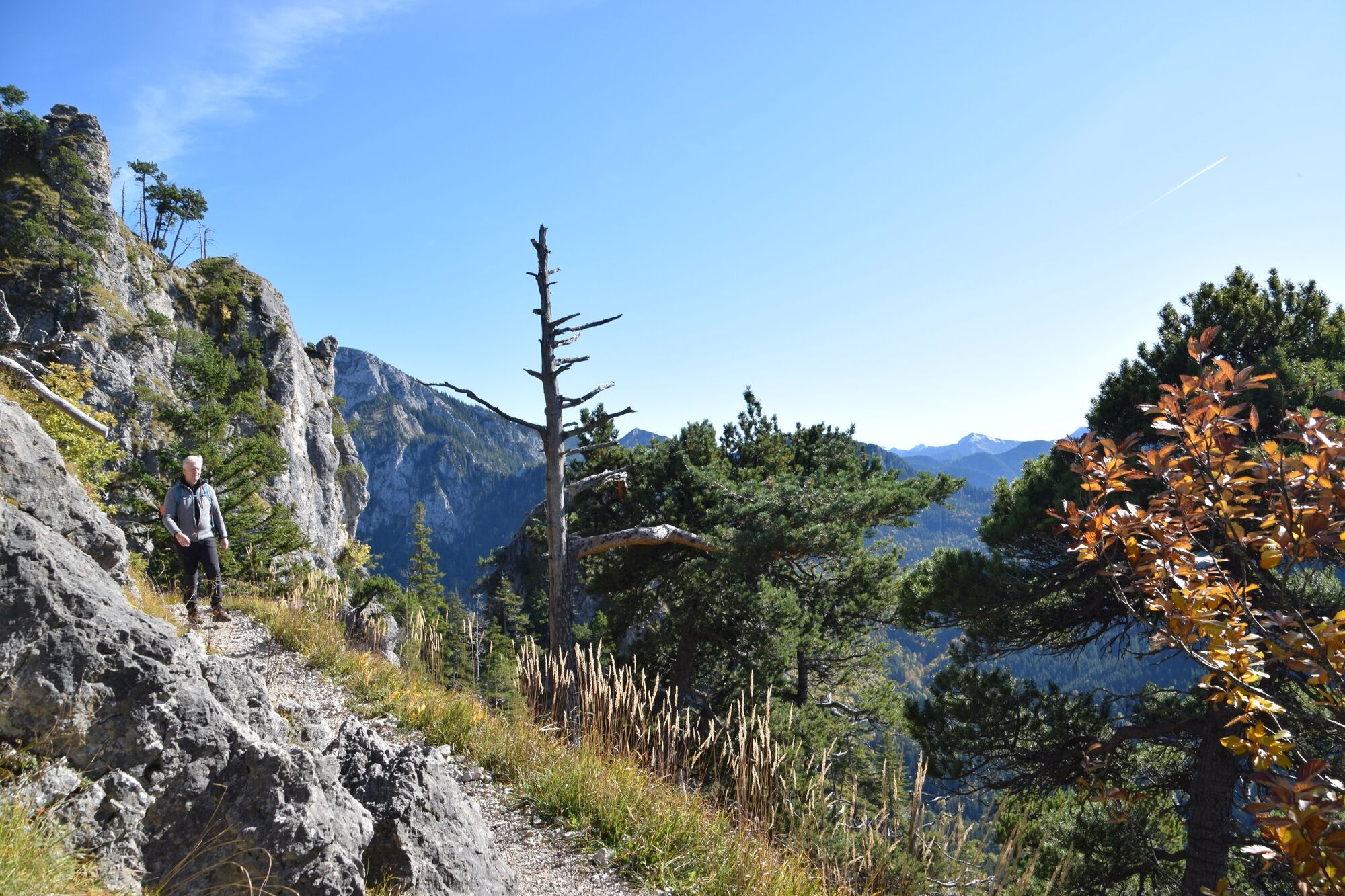
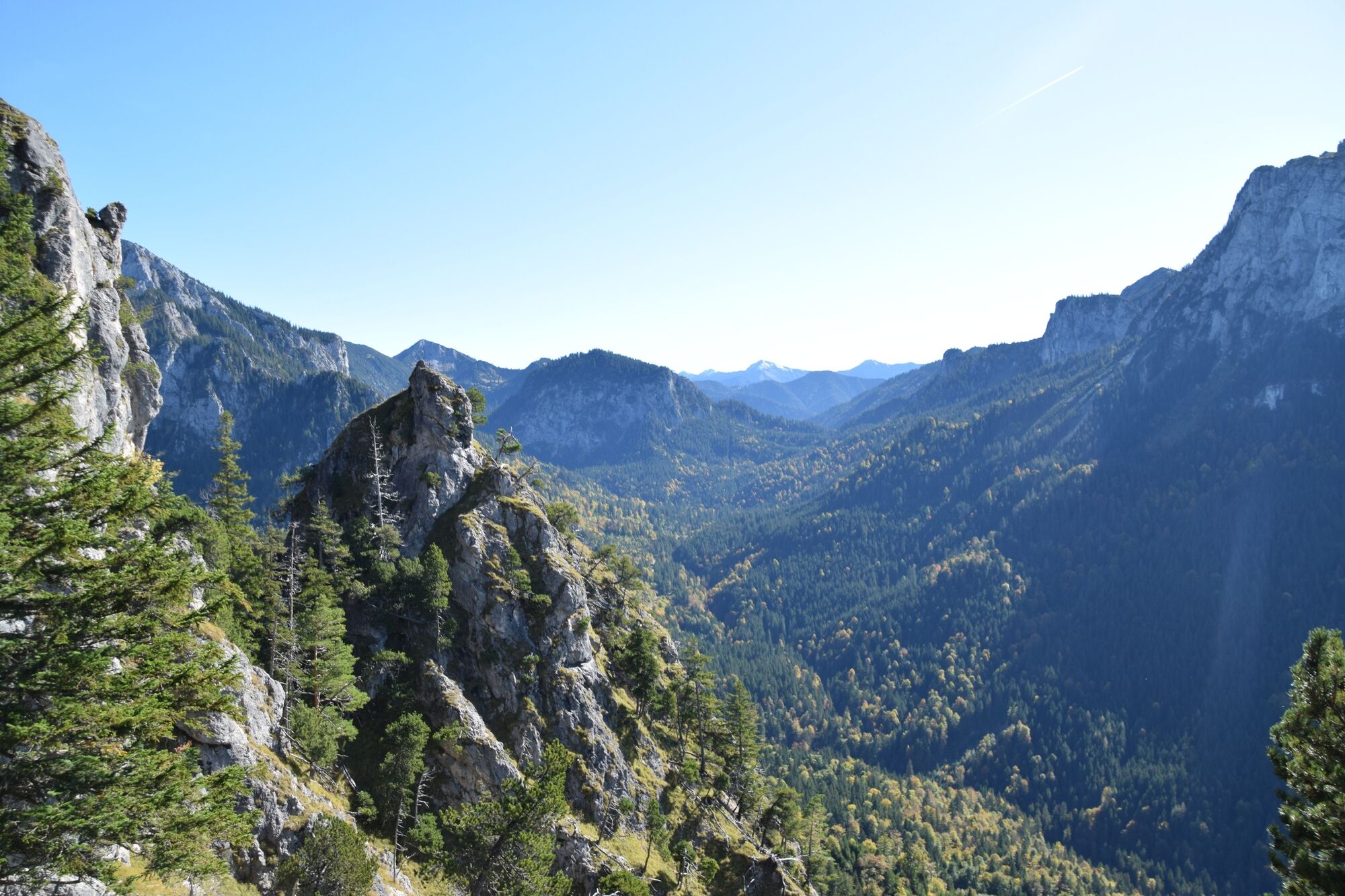
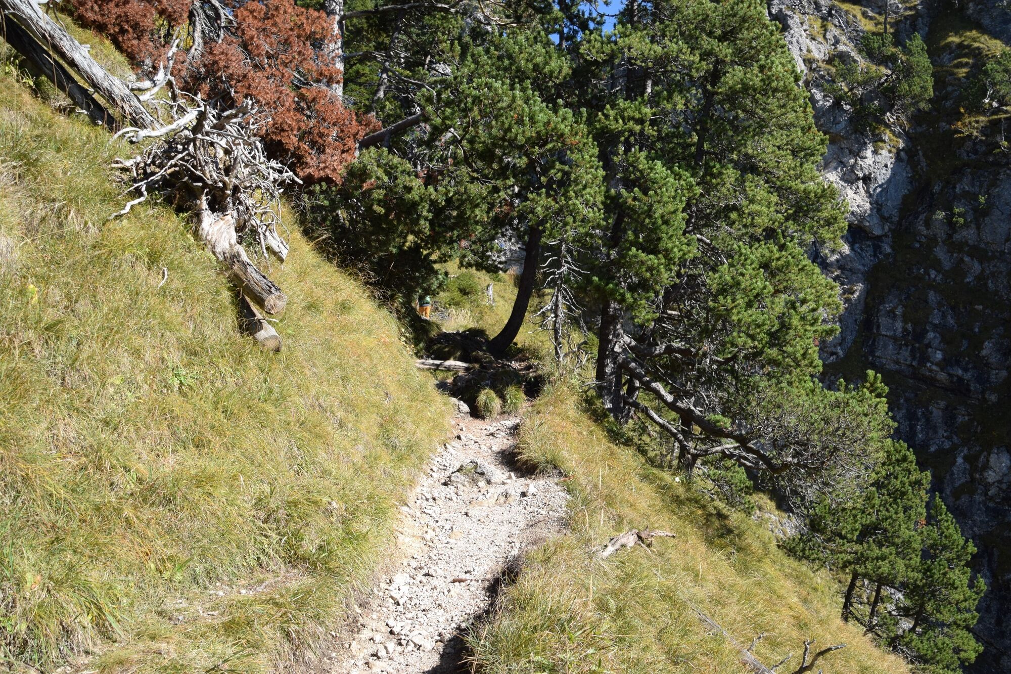
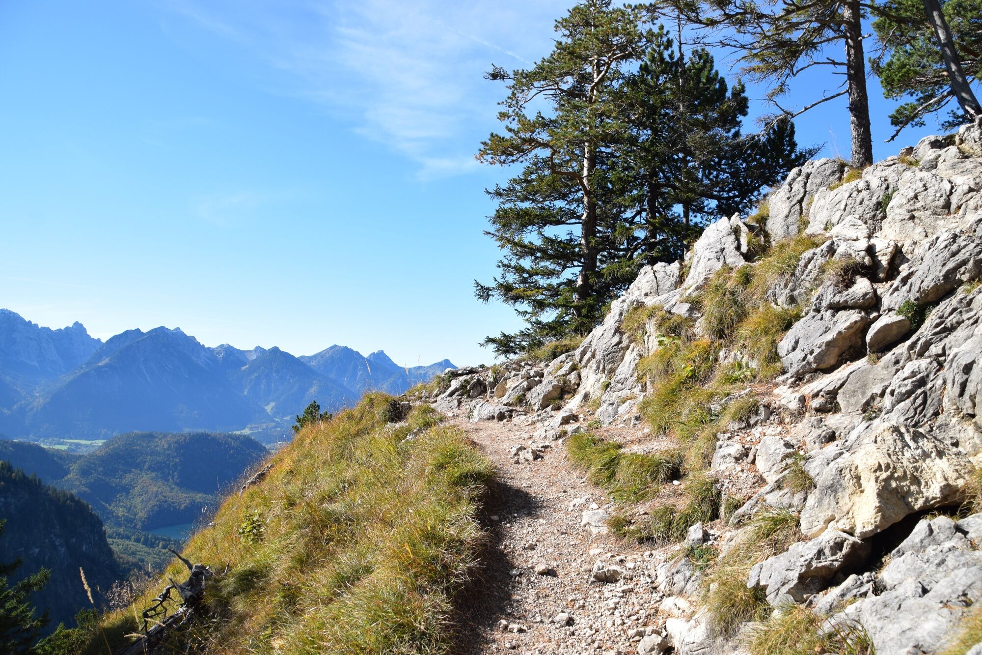
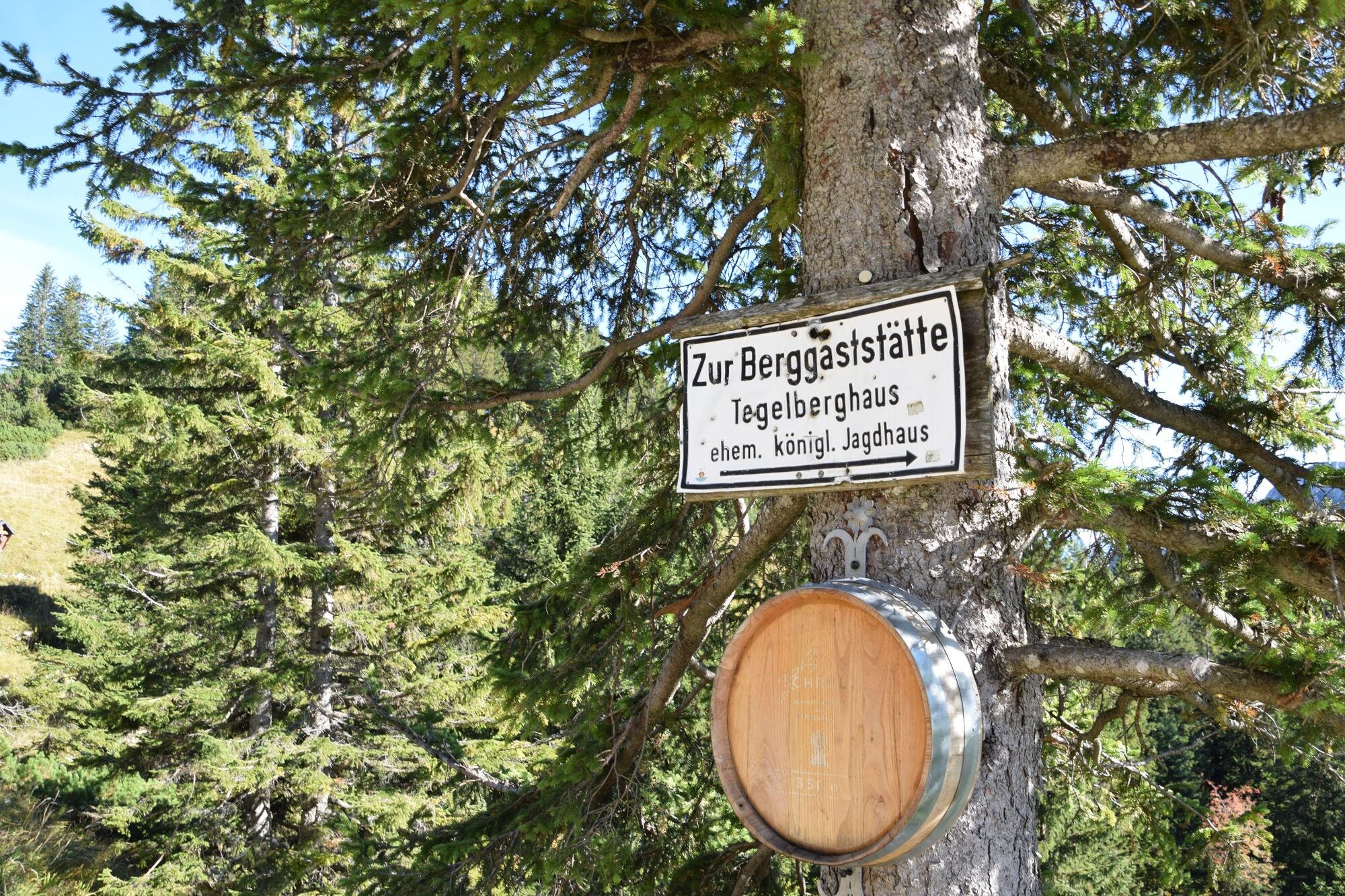
On this tour, which requires surefootedness and a head for heights, the former royal hunting lodge invites you to stop for a break. The steep ascent over a narrow path is accompanied by magnificent views of Neuschwanstein Castle. The Tegelberg hut below the Tegelberg cable car mountain station was built in 1852 by Ludwig's father Maximailian II. Ludwig himself stayed here for a few days every summer and usually rode up. The first Marys bridge over the Pöllat Gorge was inaugurated in 1842 in the presence of the Crown Prince and Crown Princess Maximilian and Marie.
- Highest point
- 1,714 m
- Endpoint
-
Tegelberg cable car valley station
- Height profile
-
 © outdooractive.com
 - Equipment
-
A hiking boot that goes over the ankle gives the best support. Hiking poles provide additional safety and support.
- Safety instructions
-
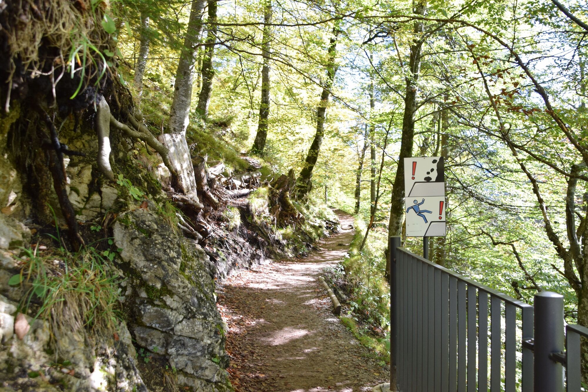
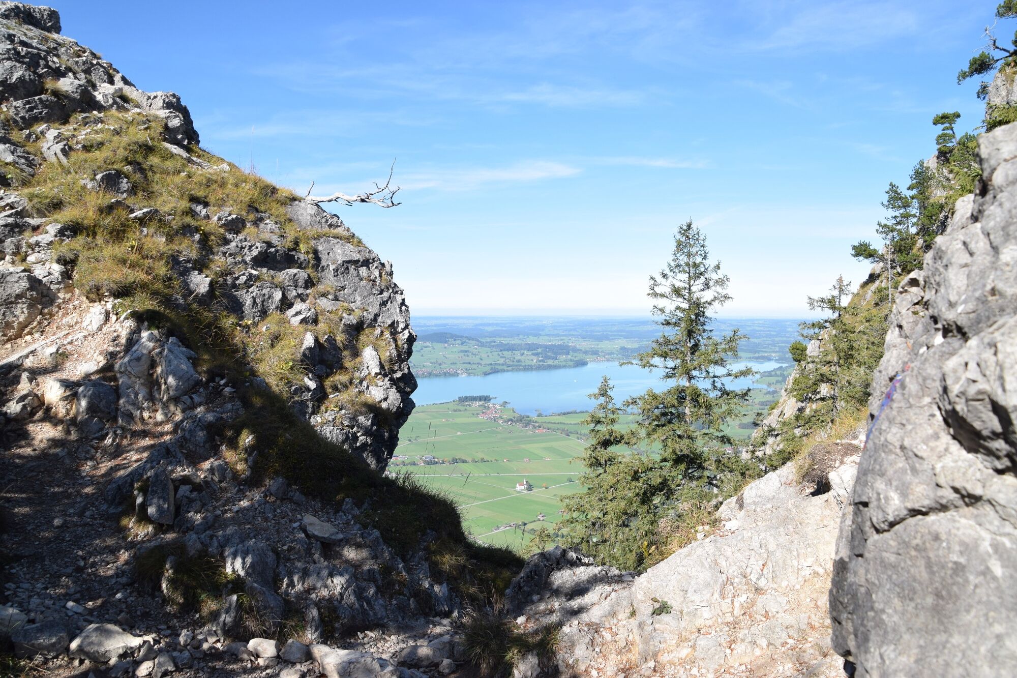
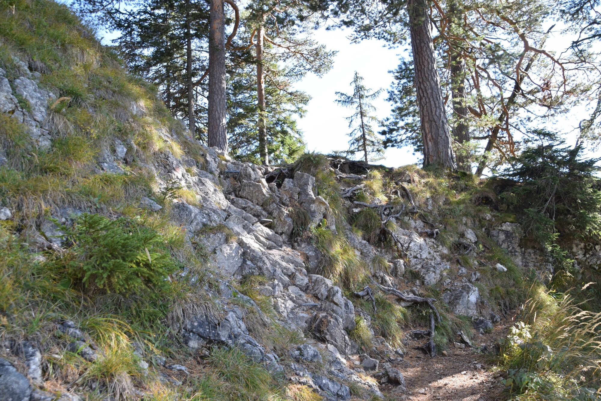
Surefootedness, no fear of heights and mountaineering skills are required. In some places it is necessary to climb briefly over rock, over a few short sections the trail is secured with a steel cable.
- Tips
-
Since the trails of this tour are mostly south-facing, the hike is especially beautiful in autumn.
- Author
-
The tour Up to the Tegelberg mountain is used by outdooractive.com provided.