- Brief description
-
Nice hiking tour for all age categories with the historical sights, beautiful views and natural habitat.
- Difficulty
-
easy
- Rating
-
- Starting point
-
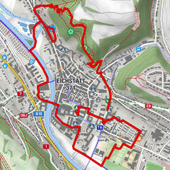
Marktplatz, Eichstätt
- Route
-
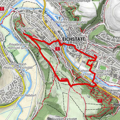
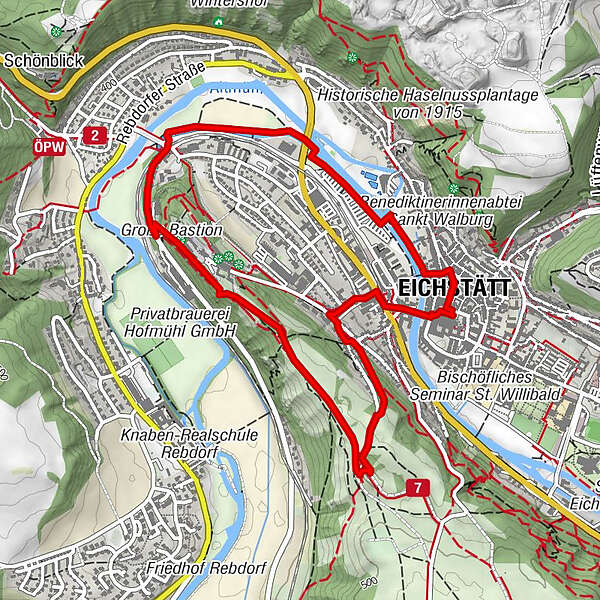
Eichstätt (371 m)0.1 kmMarienstein (394 m)2.2 kmHofmühle2.4 kmFrauenbergkapelle3.7 km
- Best season
-
JanFebMarAprMayJunJulAugSepOctNovDec
- Description
-
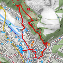
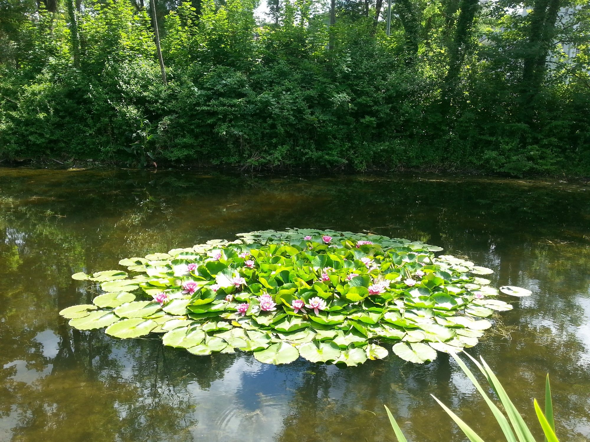
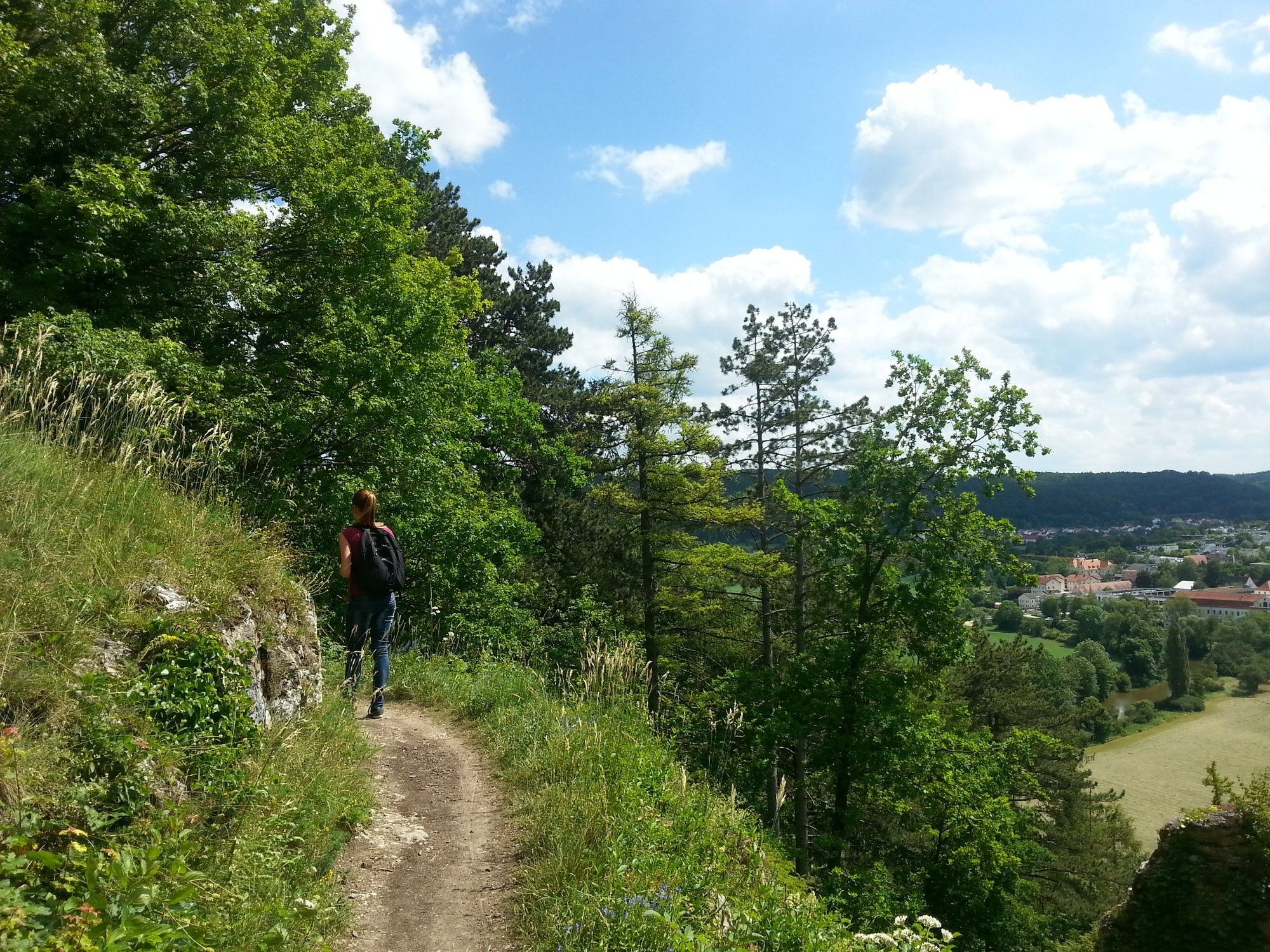
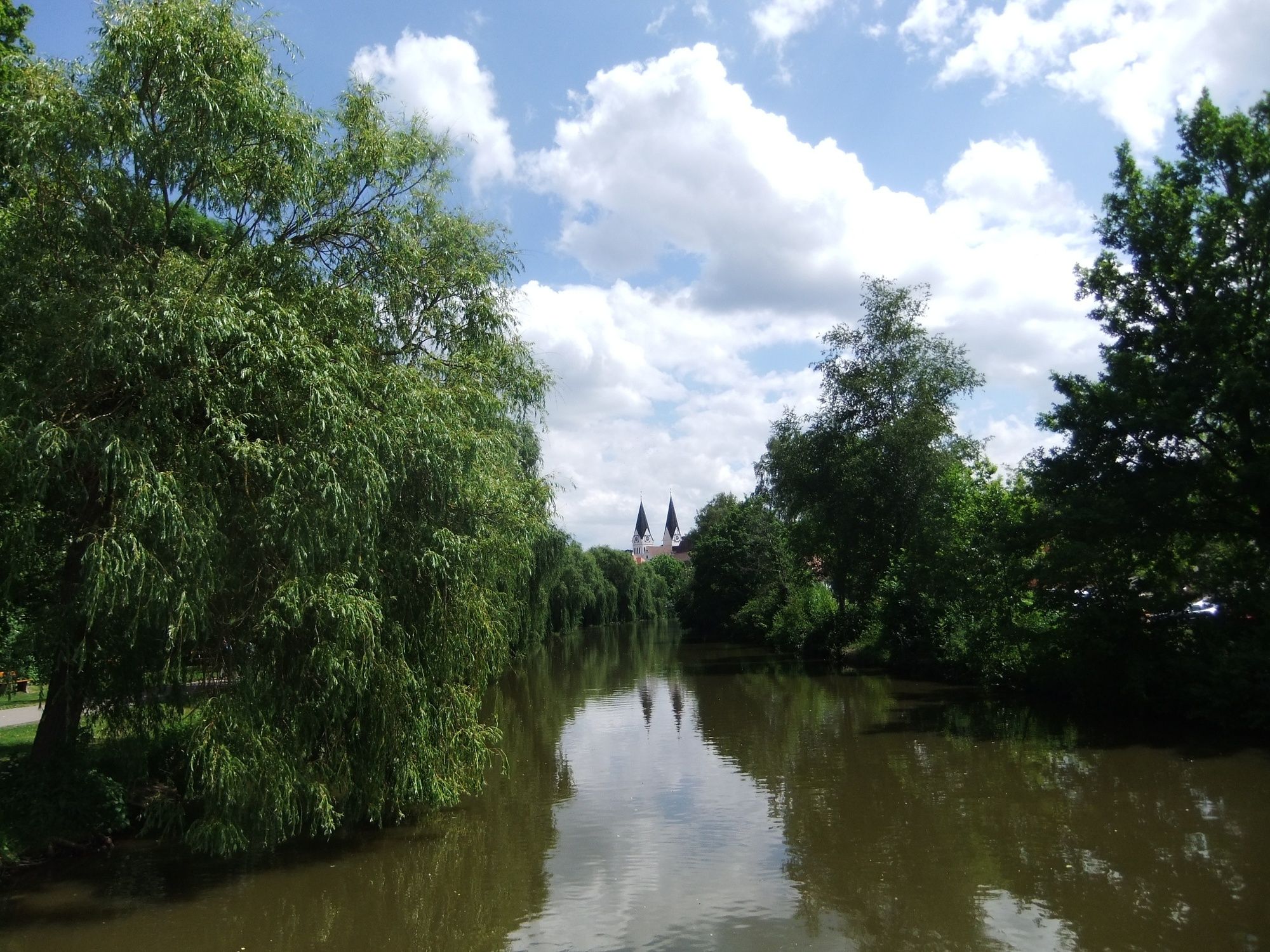
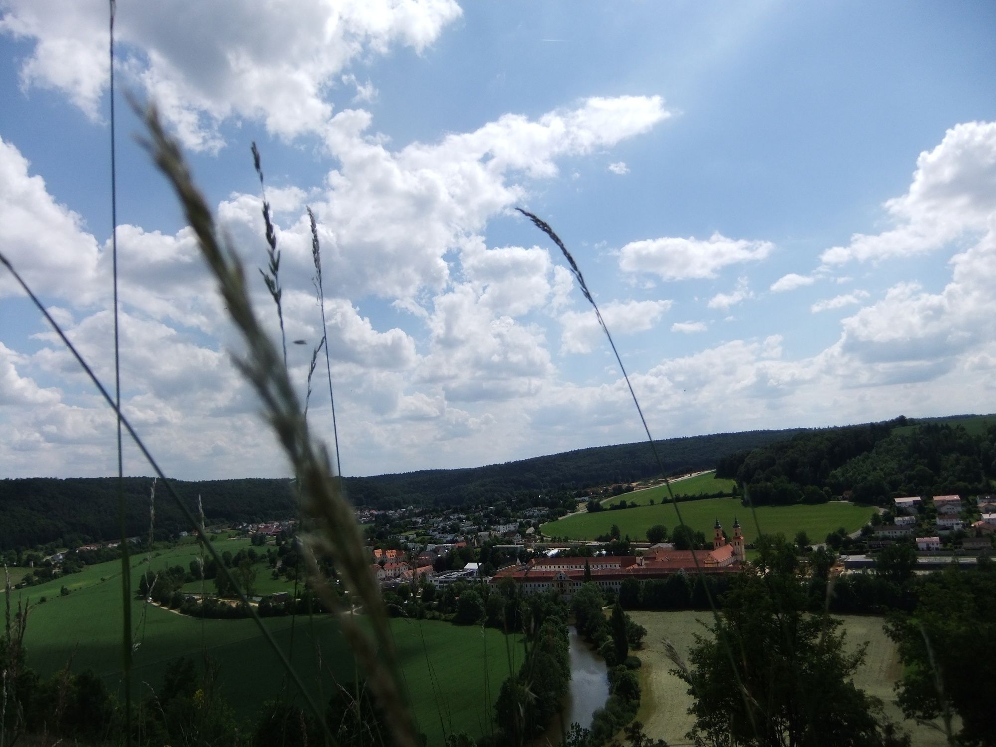
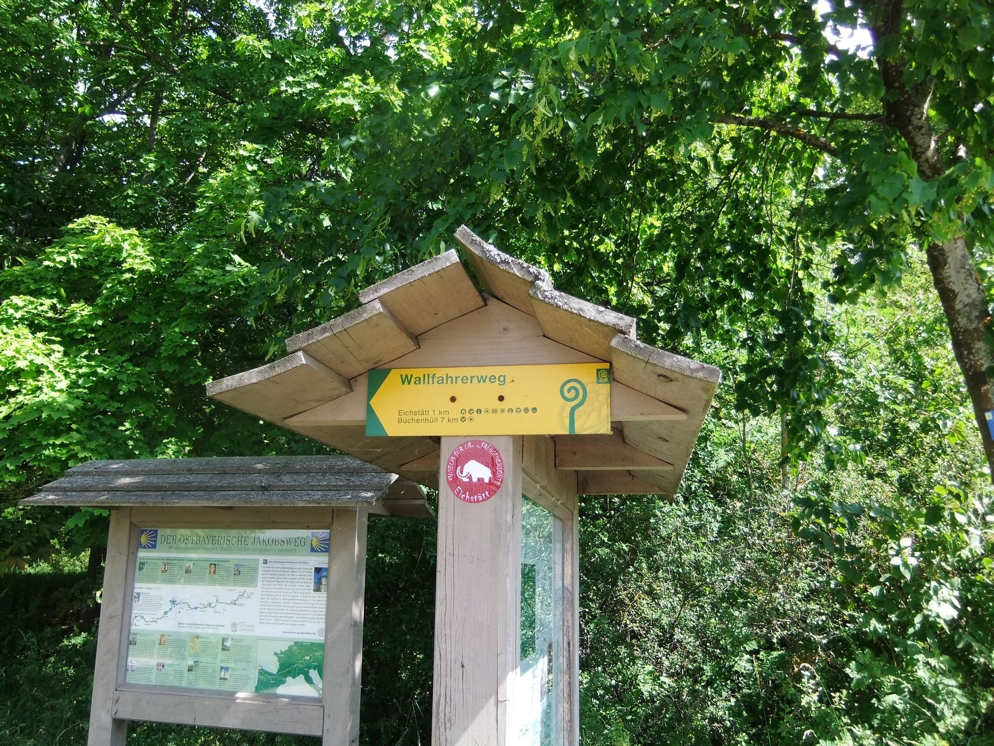
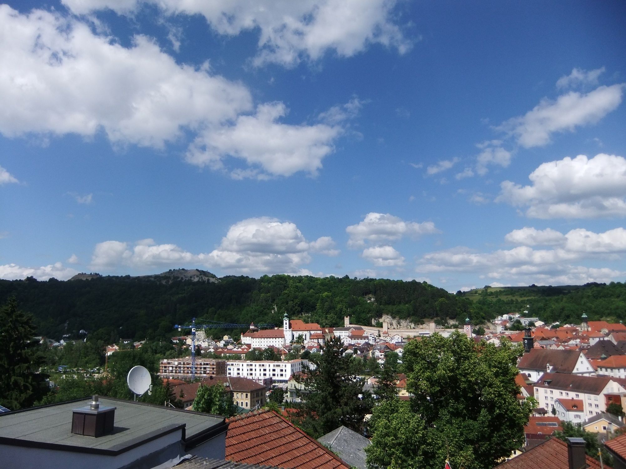
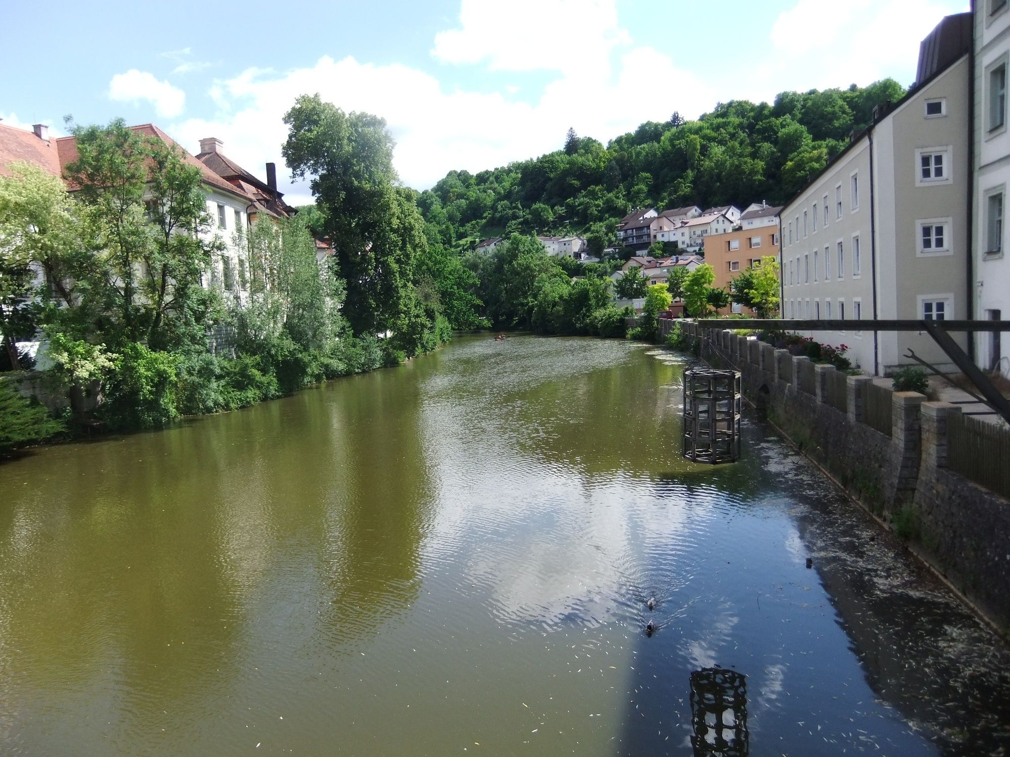
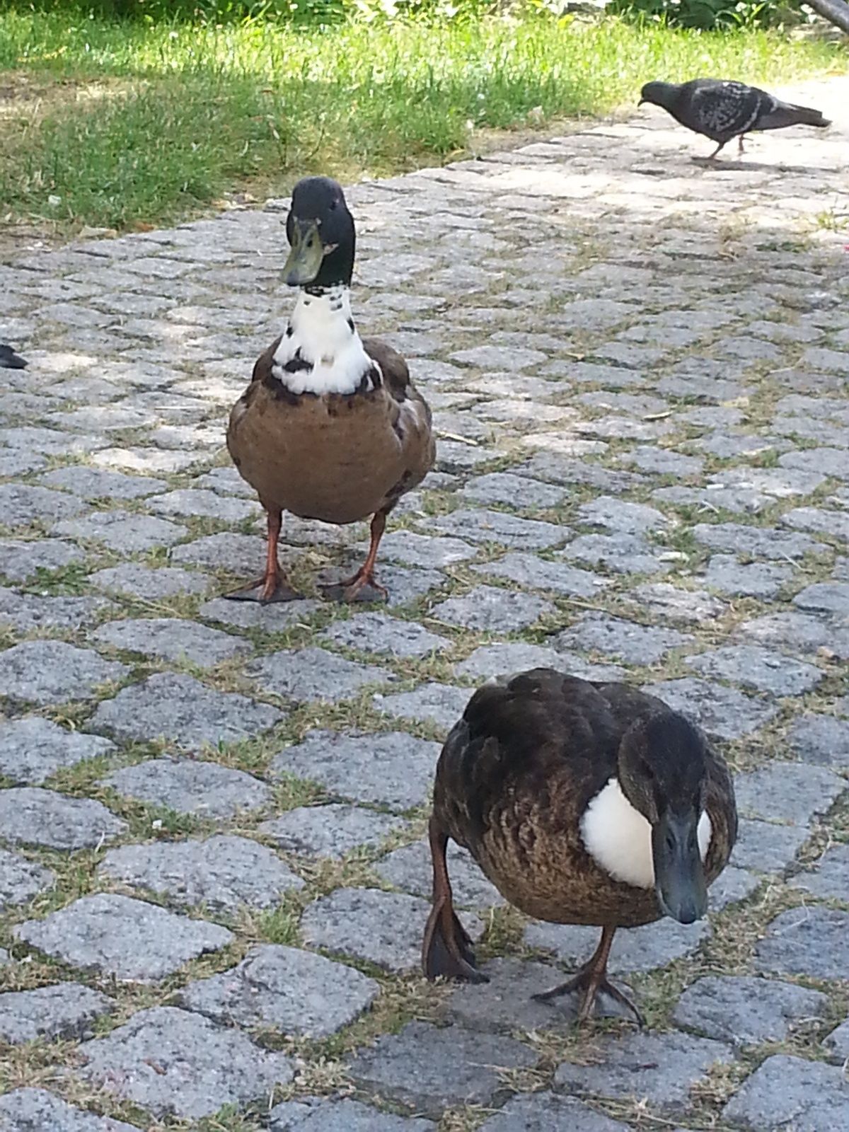
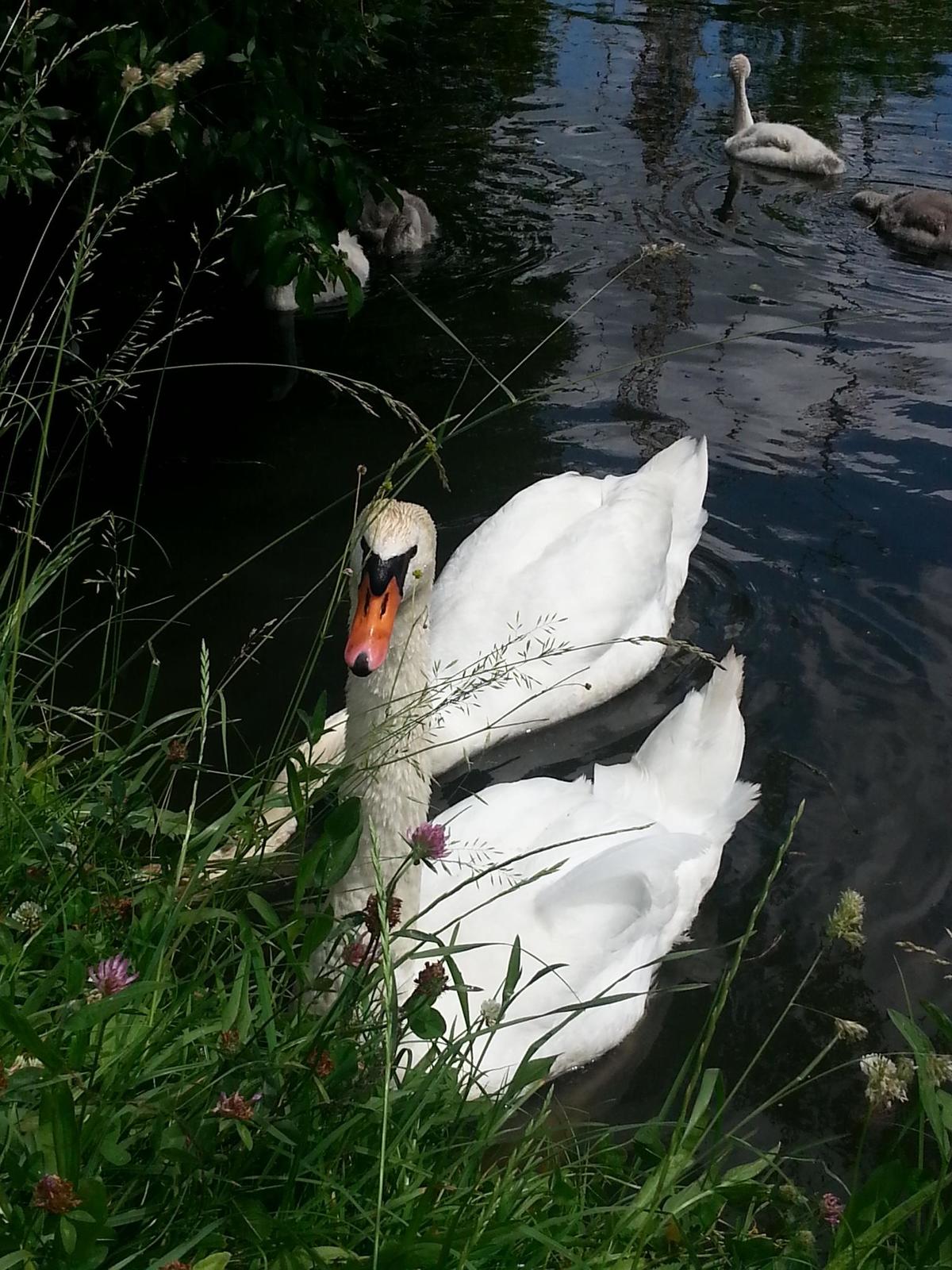
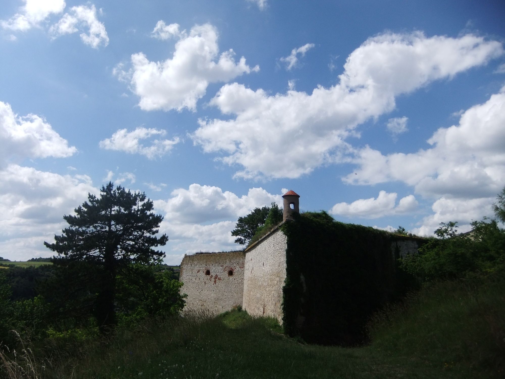
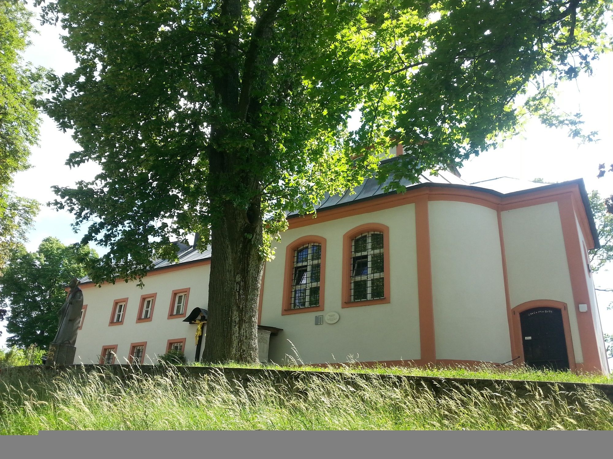
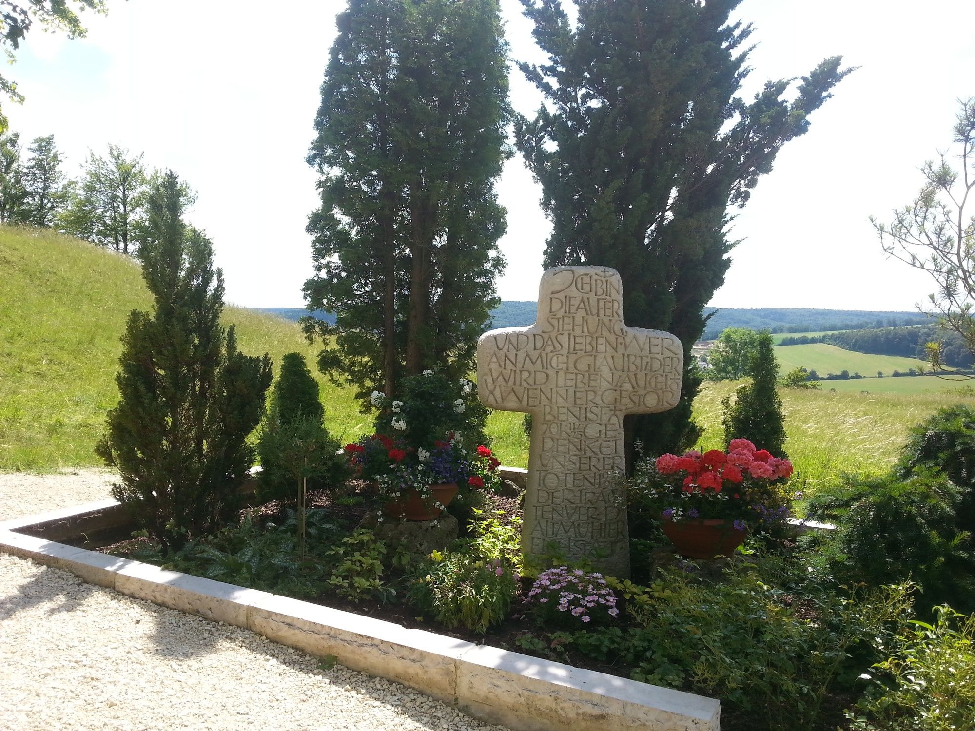
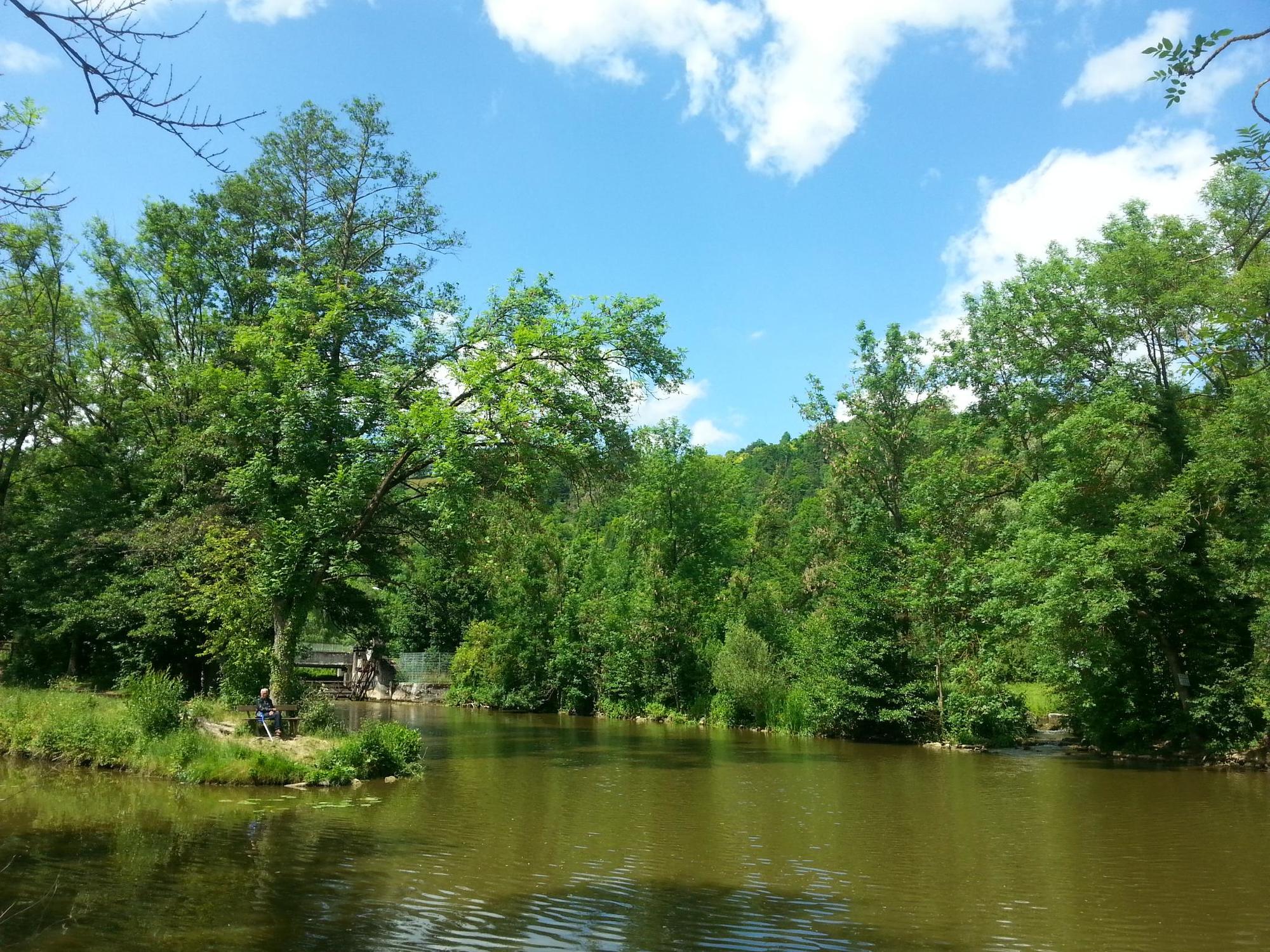
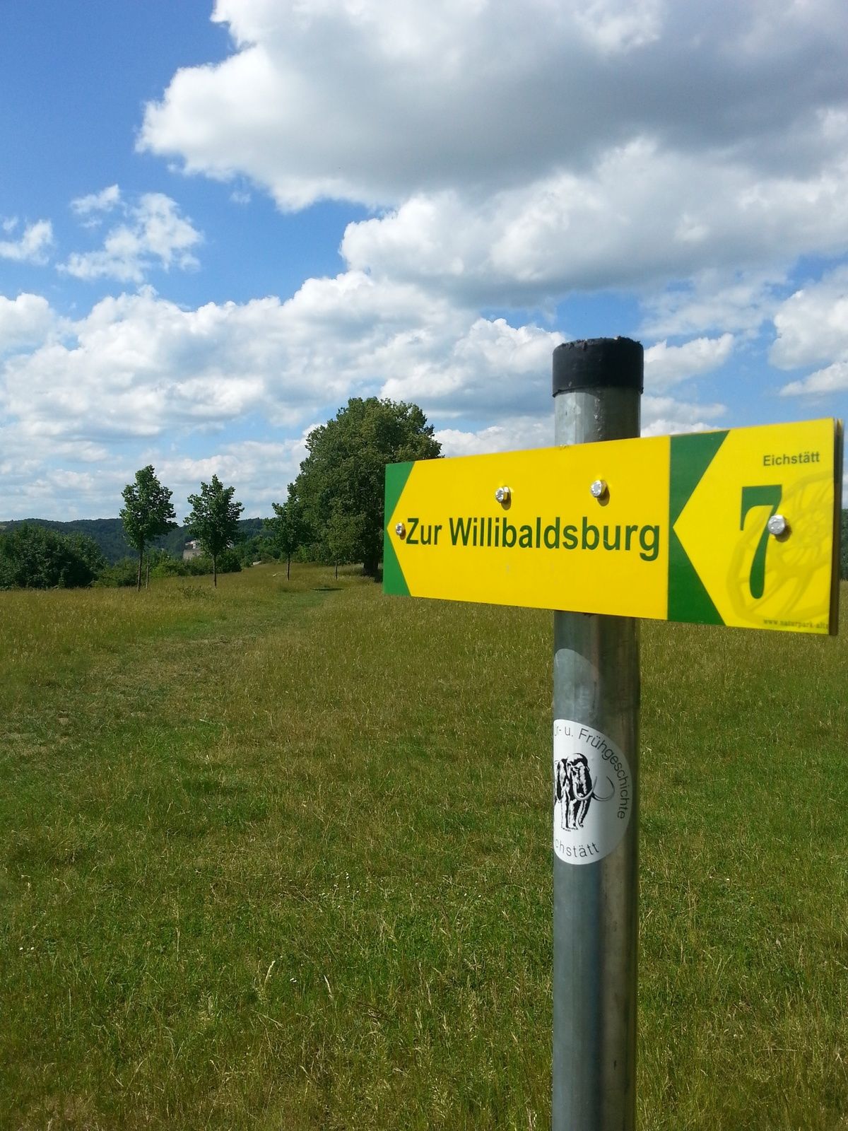
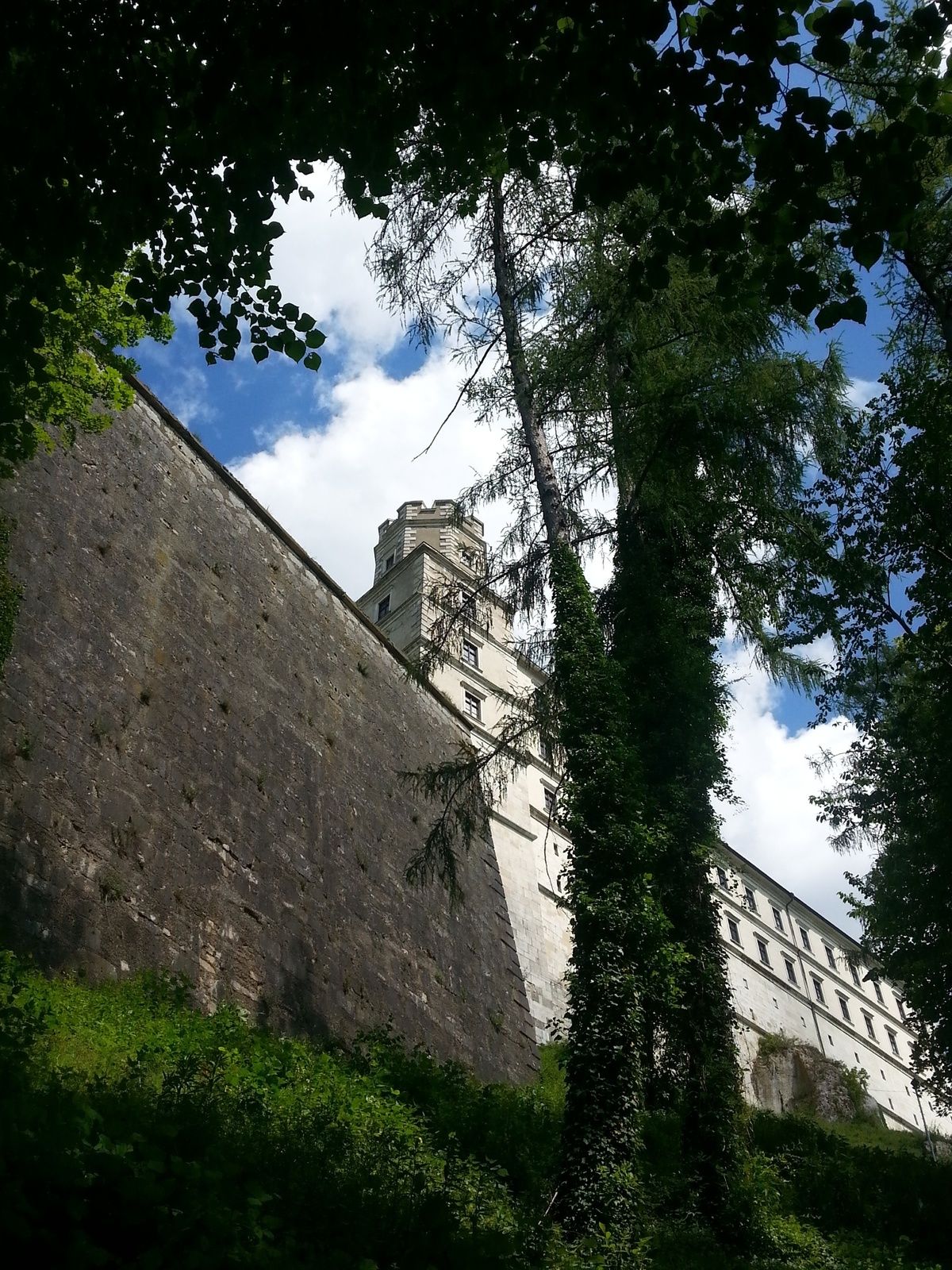
Nice hiking tour for all age categories including small children, starting in the main square with all its historical sights and fountain, further offering a view on the near sourrounding of the city centre along the river side while noticing cute ducks and swans nearby the river, as well as other animals. Following the track up to the Willibaldsburg castle, passing it from the back side, then continueing up to the Frauenbergkapelle with the possibility to observe the beauty of the untouched nature and many breathtaking views out of the top of the hill on the other side of the Altmühltal valley. Walking down the road from the Frauenbergkapelle,it is also possible to turn left in order to visit the Willibaldsburg castle. Following the route down, you get to the main road coming back to the train station and the city and starting points of the track.
- Directions
-
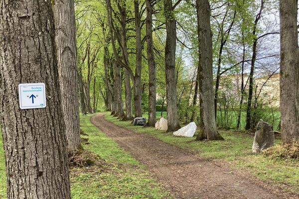
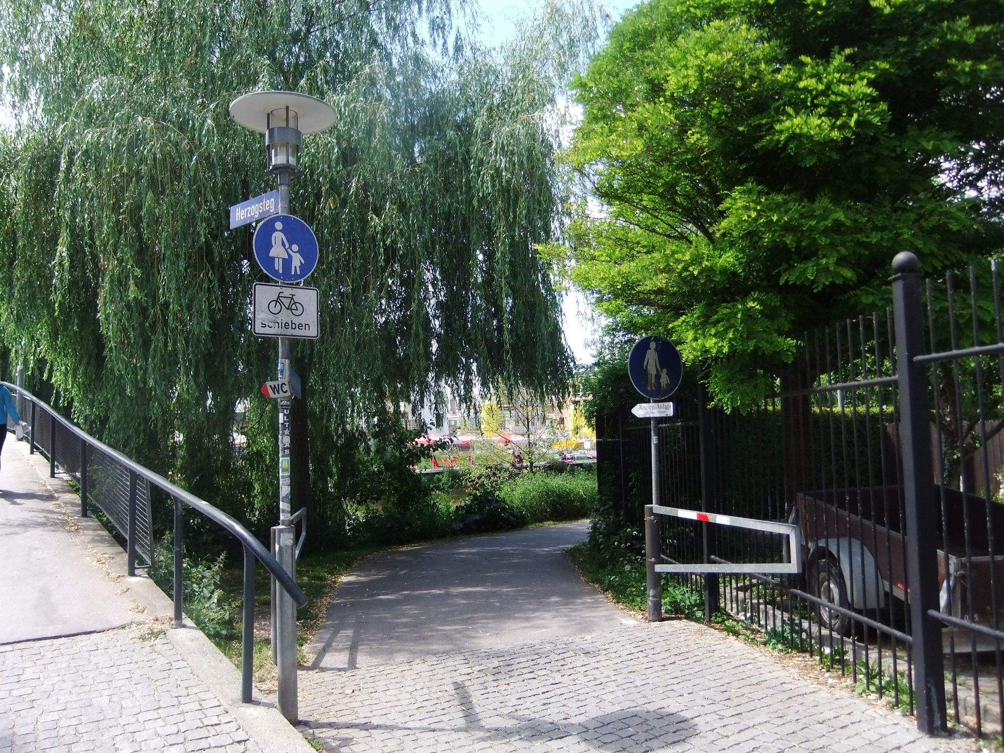
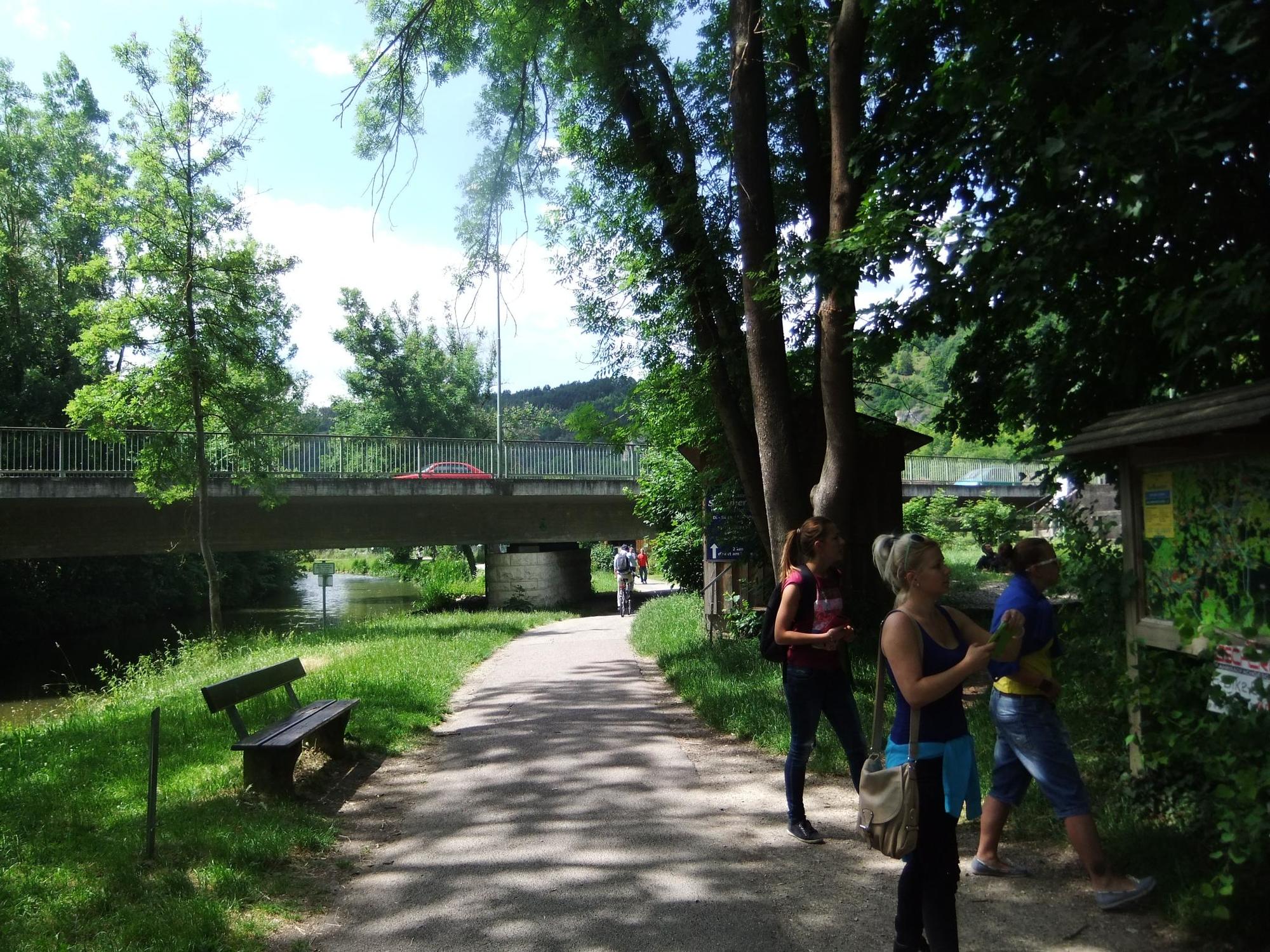
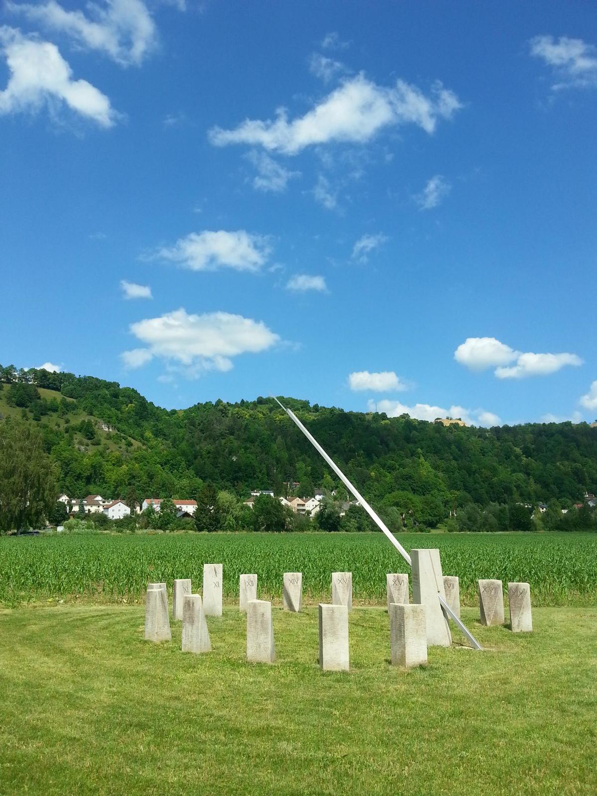
The tour starts at the Marktplatz square, just behind the building of the information centre. You follow the street straight to get to the big fountain, in the middle of the square. Behind the fountain turn left and pass a little street and follow Herzoggasse street down. You see a small bridge, where nearby turn right and walk straight along the right river side via Ritter von Hofer Weg Street. As soon as you get to the next bridge, cross the river via the bridge and continue walking up straight along the river on the left side. With the next little bridge you cross the river again and follow the cycling route, now you see a small stream on the left side. Continue walking along the small stream untill you see a solar powered clock, then cross the the small stream on the left side, at the intersection point, cross the road, cross the railway and turn right. Behind the curve, you trun left and follow up the forest path up to the hill until you see the back side of the castle. As you get up to the hill from the back side of the castle, countinue walking the forest path straight. On the right side, you will see a nice view soon. At the end of the forest path, you get to the Frauenbergkapelle, then turn left and follow the route down to the city. When you see the train station, turn left at the traffic light intersection, cross the bridge (Spitalbrücke) and turn left again. You see the information centre and the cafeteria at Domplatz (Dom square). When you turn left, you get back to the starting point of the tour.
- Highest point
- 496 m
- Endpoint
-
Domplatz, Eichstätt
- Height profile
-
 © outdooractive.com
 - Equipment
-
trekking/hikking shoes, raincoat (in the case of bad weather condition)
- Additional information
-
http://www.eichstaett.de/
- Directions
-
By car: get to the central parking in Eichstätt, Altstadt - there is a public paid car park near the Marktplatz square. Follow the street to the right side to get on the main square (Marktplatz). where the tour starts.
By train: get off at Eichstätt Stadt train station - walk behind the train station, then turn left, you see a bridge (Spitalbrücke). Walk though the bridge and on the left hand side you see an information centre and a cafeteria. Walk towrads the cafteria and turn left. You get to Marktplatz (main square) now, where the tour starts.
- Public transportation
-
Train Station - Eichstätt Stadt
- Parking
-
the central parking house in Eichstätt, Altstadt - a public paid car park near the Marktplatz square
the local parking spaces in the city center available too

- Author
-
The tour Rund um die Stadt zur Frauenbergkapelle is used by outdooractive.com provided.


General info
-
Naturpark Altmühltal
128
-
Eichstätt
52