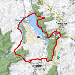
Tour data
9.02km
469
- 477m
14hm
12hm
02:15h

- Difficulty
-
easy
- Rating
-
- Route
-
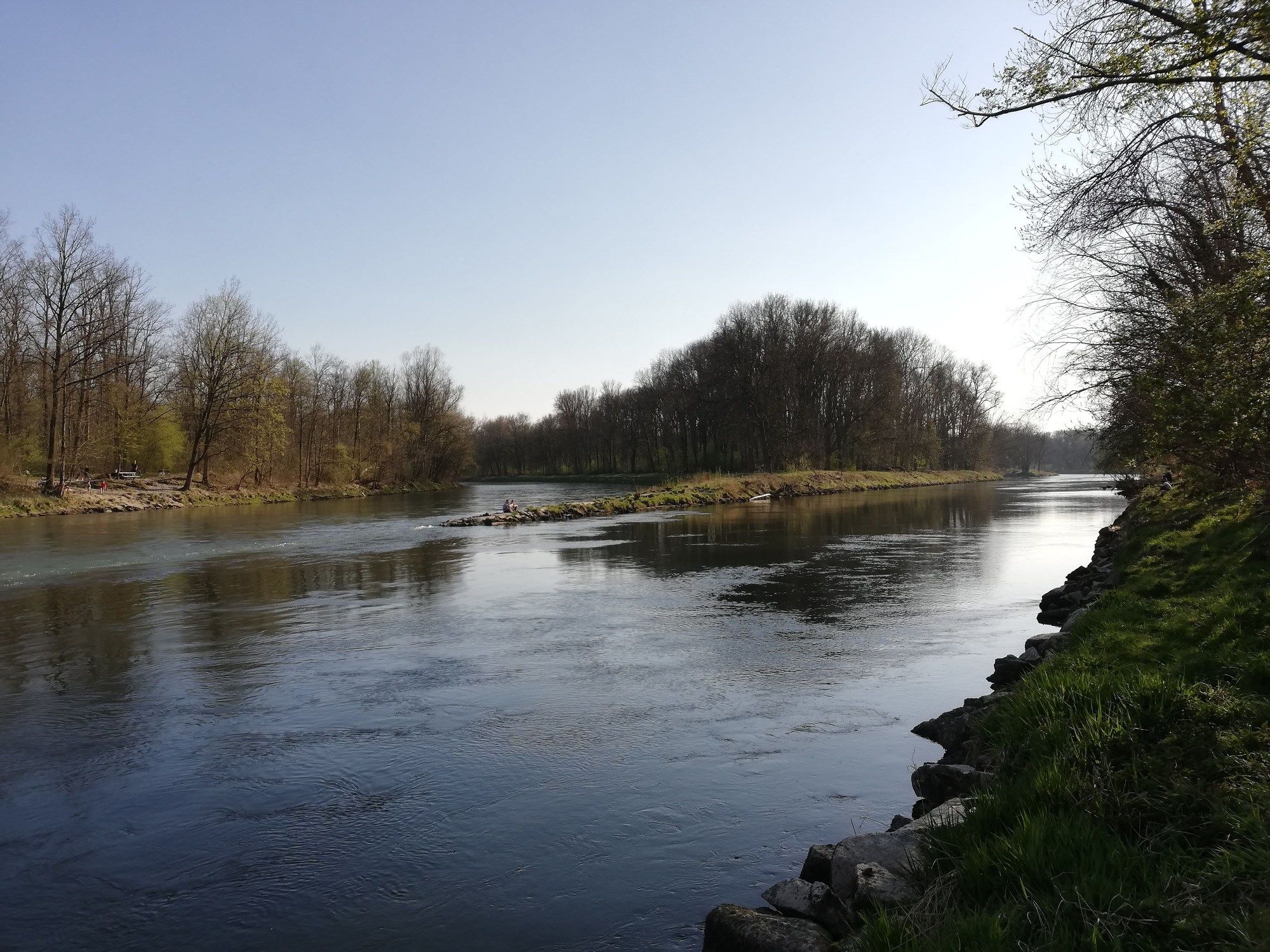
Nouvelle-Ulm (471 m)0.0 kmUlm0.0 kmIllerbrücke3.5 kmIllerspitze7.4 kmGalgenberg7.7 km
- Best season
-
JanFebMarAprMayJunJulAugSepOctNovDec
- Highest point
- 477 m
GPS Downloads


Trail conditions
Asphalt
(80)
Gravel
(20)
Meadow
Forest
Rock
Exposed
Other tours in the regions
-
Schwäbische Alb
1240
-
Alb-Donau-Kreis
190
-
Neu-Ulm
35