
- Brief description
-
Easy circular hike around Oberammergau following in the footsteps of kings and Ancient Romans
- Difficulty
-
easy
- Rating
-
- Starting point
-
Tourist-Info Oberammergau
- Route
-
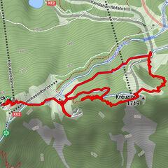
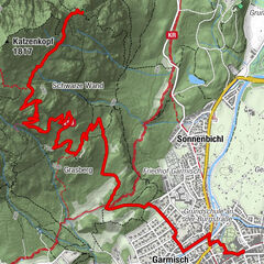
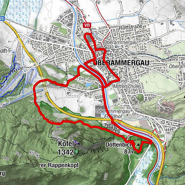
Döttenbichl (877 m)4.3 kmSt. Peter und Paul6.0 kmOberammergau6.3 km
- Best season
-
JanFebMarAprMayJunJulAugSepOctNovDec
- Description
-
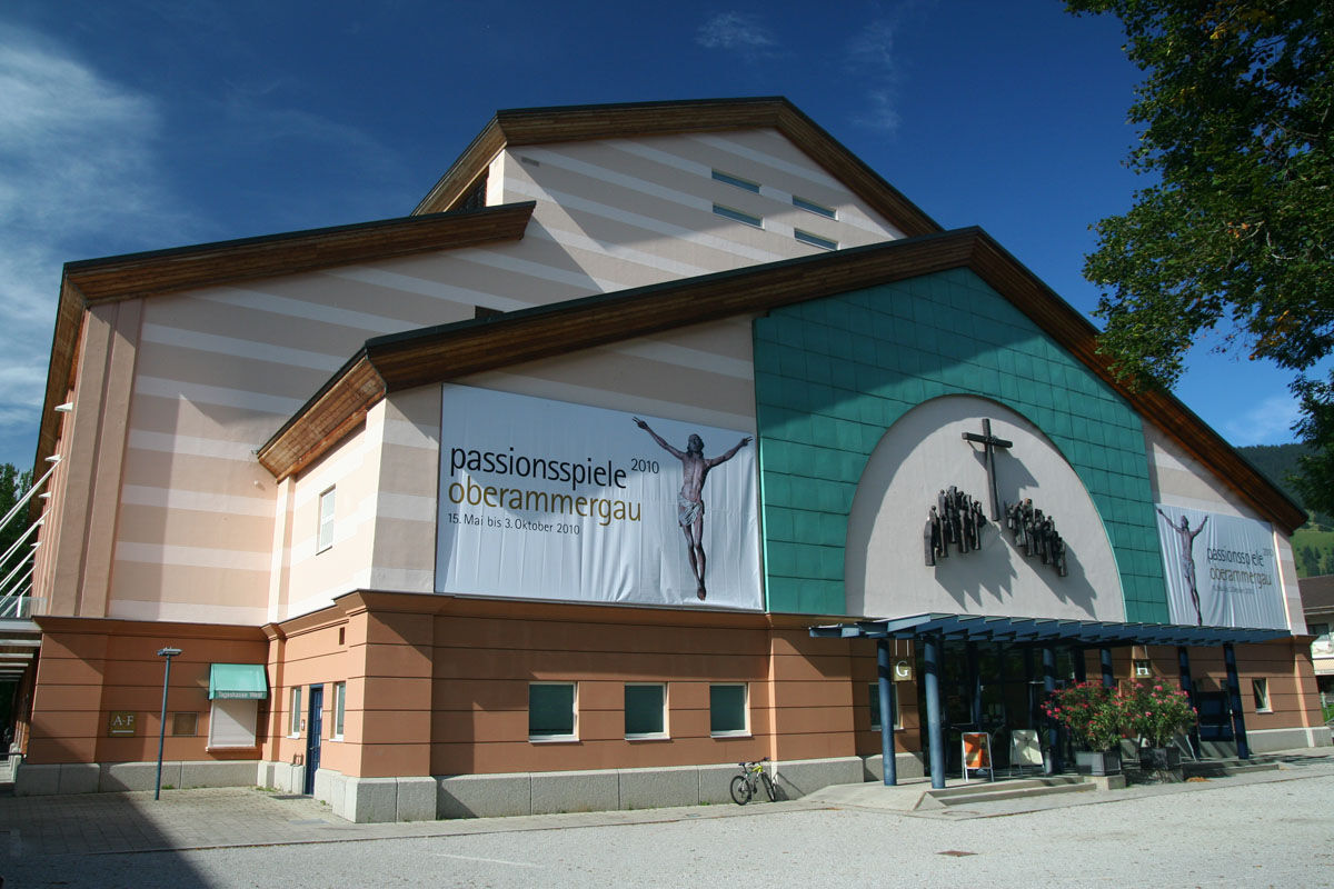
This tour enables you to discover an Alpine village with a great history. Follow in the footsteps of Roman soldiers and Bavarian kings as you explore historic Oberammergau and its surrounding area. Home to the world-famous Passion Plays, Oberammergau is rich in culture as well as being located within the direct proximity of the splendours of Bavaria's largest nature reserve.
- Directions
-
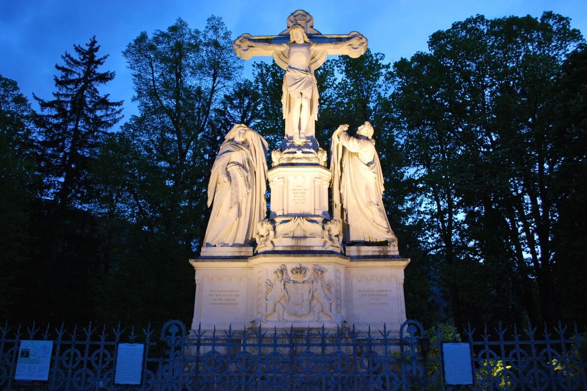
You are on historic ground throughout this tour. From your starting point, cross the River Ammer and return to the 19th century by climbing up to the Cruxifiction Monument. This marble sculpture was given to the inhabitants of Oberammergau by King Ludwig II of Bavaria as an expression of his thanks for a private staging of the Passion Play in 1871.
The magnificent views of Oberammergau from this point are truly fit for a king.
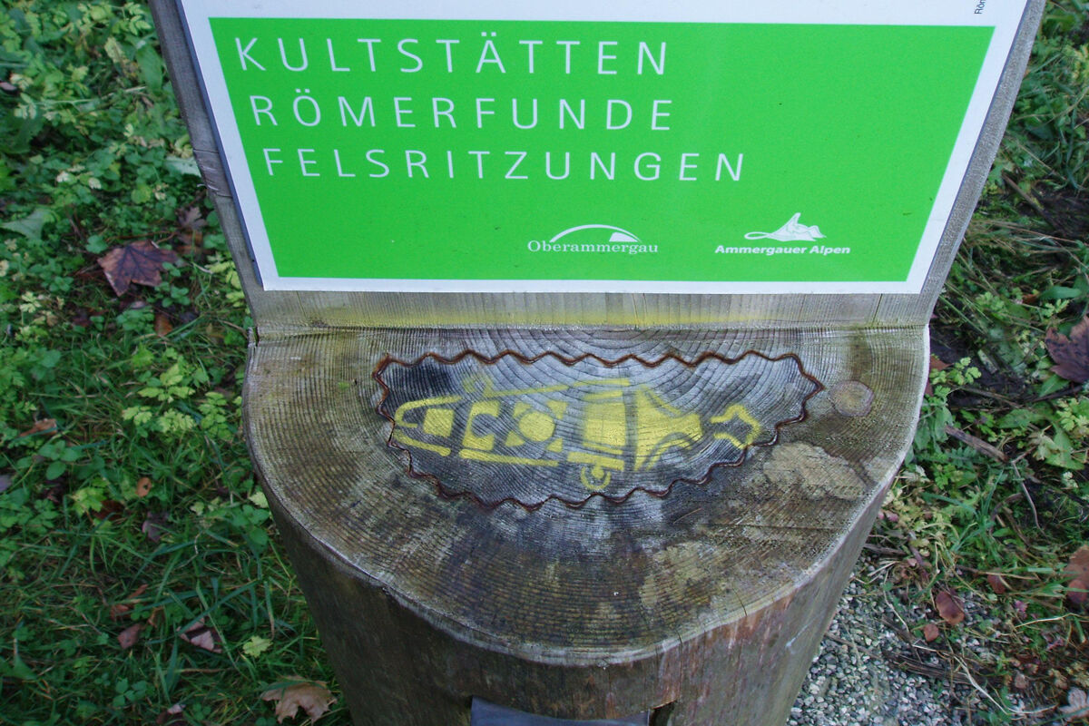
Continue along the "Grottenweg" to the Döttenbichl, which has witnessed two major cultural movements. On one side, Celtic brooches, keys and tools have been found. These may have been fire sacrifice objects from a small site which was once located here. This sacrificial site indicates that the Ammer Valley was farmed long before the Roman conquest.
On the other side, coins, daggers, arrow tips and shoe nails from Roman soldiers have been discovered. The catapult arrow tips bear the stamp of the 19th Legion, which suffered a devastating defeat at the hands of Varus in the Battle of the Teutoburg Forest in 9 BC.
Returning to the village, you pass the cemetery and tennis court to cross the Ammer once more. Return to your starting point via the main street and through the historic centre of Oberammergau.
- Highest point
- 924 m
- Endpoint
-
Cruxifiction Monument and Döttenbichl
- Height profile
-
 © outdooractive.com
 - Safety instructions
-
You can enjoy an unforgettable hiking experience in the Ammergau Alps as long as you have the right gear. Visit the "Best of Wandern" Test Centre in Bad Kohlgrub to try out the latest outdoor equipment free of charge.
- GPS devices
- rucksacks, child carriers, children's jackets
- multifunctional jackets
- hiking boots
- sticks and head lamps
- binoculars
- tour software
- snow shoes
- backpacking umbrellas
The Best of Wandern Test Centre is located at Hotel Schillingshof, directly opposite the Hörnlebahn ski lift. adress: Fallerstraße 11, Bad Kohlgrub tel.: +49 8845 7010.
For more information, visit: www.ammergauer-alpen.de/testcenter
- Directions
-
A95, B23 to Oberammergau via Ettal
- Public transportation
-
bus stop: Oberammergau, train station or Eugen-Papst-Straße - return: Ettal Klostergasthof
9606 Garmisch-Partenkirchen - Oberammergau - Wieskirche - Füssen
9606 Füssen - Wieskirche - Oberammergau - Garmisch-Partenkirchen
9621 Oberammergau - Saulgrub - Bad Kohlgrub - Murnau
9622 Oberammergau - Ettal - Linderhof (Palace)train stop: Bhf Oberammergau (Murnau - Oberammergau)
Guests in the Ammergauer Alps Region can use their electronic guest pass or the "KönigsCard" to obtain free bus travel.
- Parking
-
Oberammergau, car park at the Tourist Information Office/Ammergauer Haus (free of charge)

-

-
AuthorThe tour Hike – historic Oberammergau is used by outdooractive.com provided.


General info
-
Ammergauer Alpen
1221
-
Oberammergau
436