© Tourenportal Berchtesgadener Land - Thomas Kujat

© Unbekannt

© Tourenportal Berchtesgadener Land

© Unbekannt

© Tourenportal Berchtesgadener Land

© Unbekannt

© Unbekannt

© Tourenportal Berchtesgadener Land - Thomas Kujat

© Tourenportal Berchtesgadener Land - Thomas Kujat
Tour data
7.73km
527
- 878m
449hm
450hm
03:00h
- Brief description
-
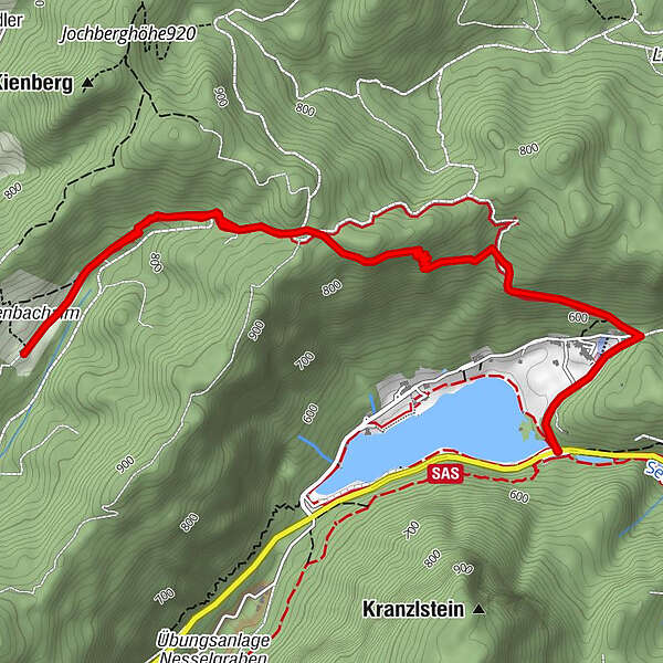
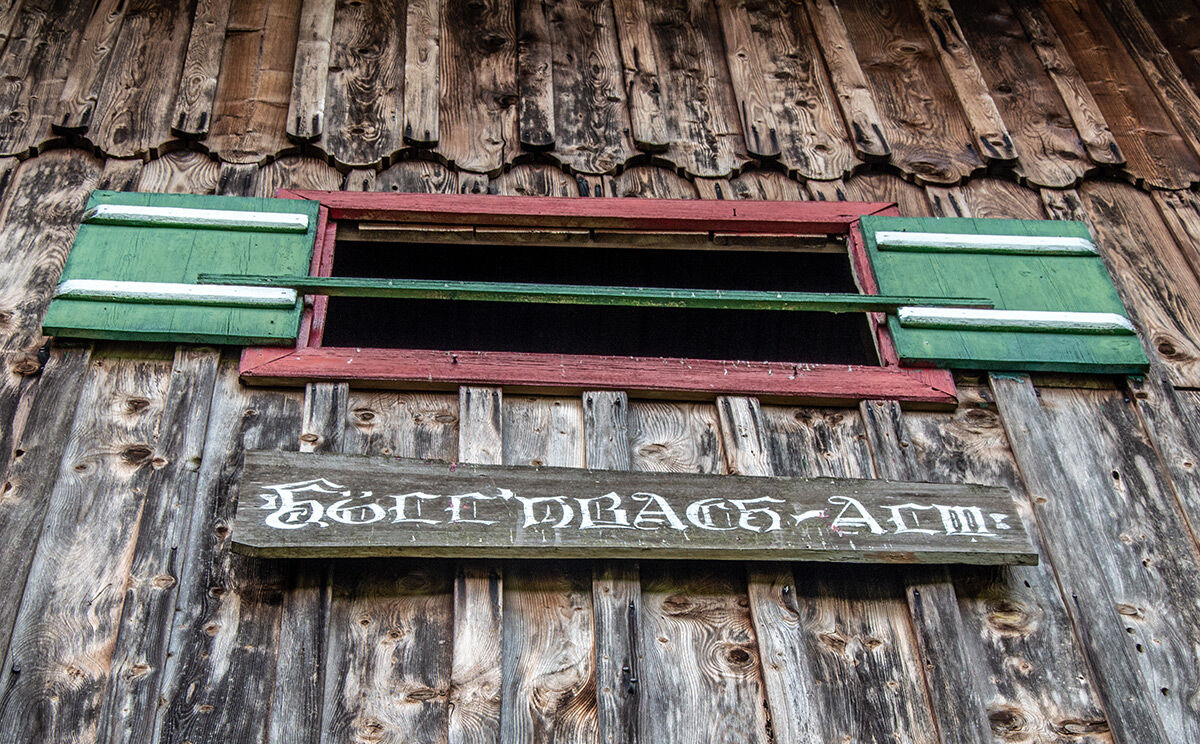
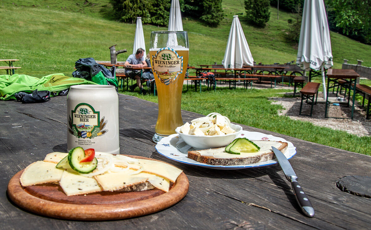
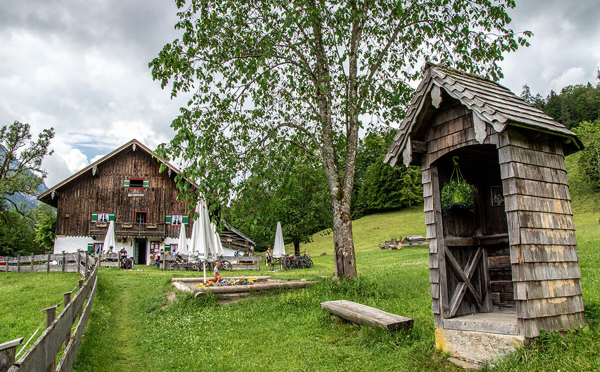
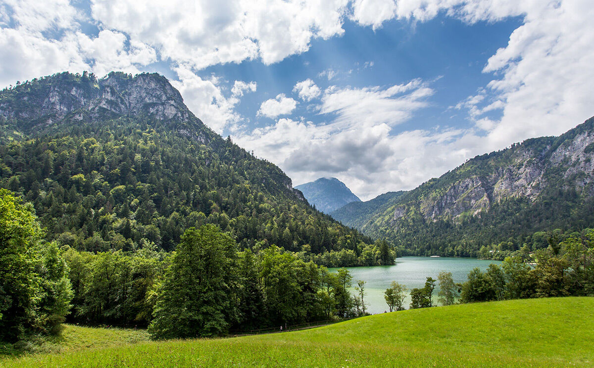
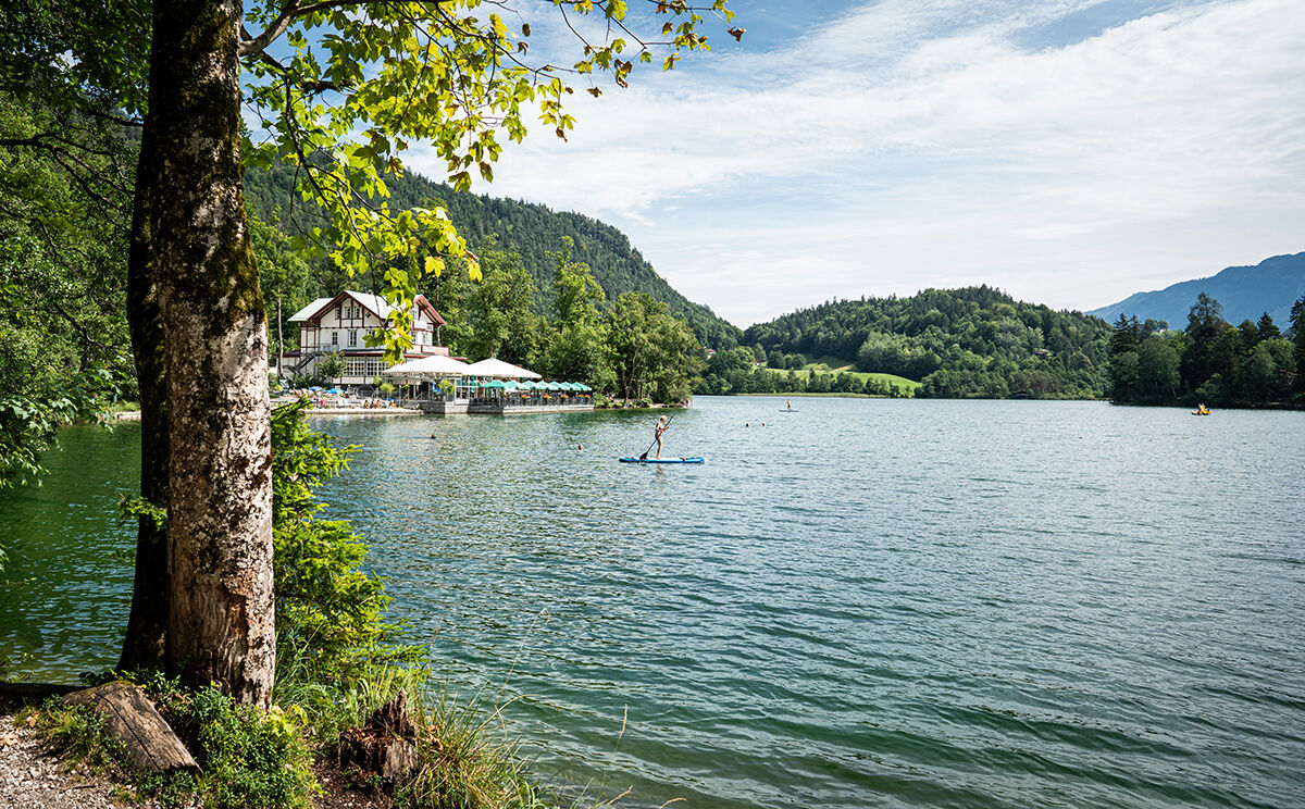
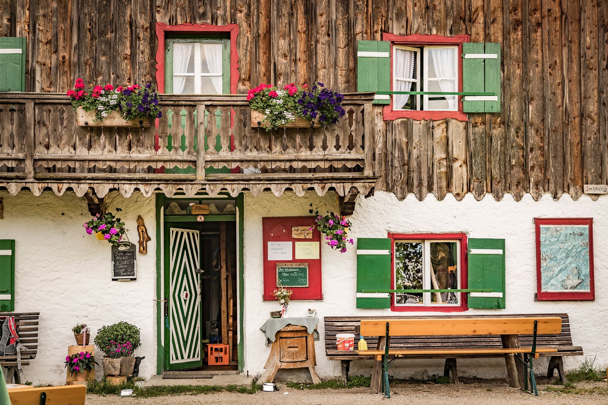
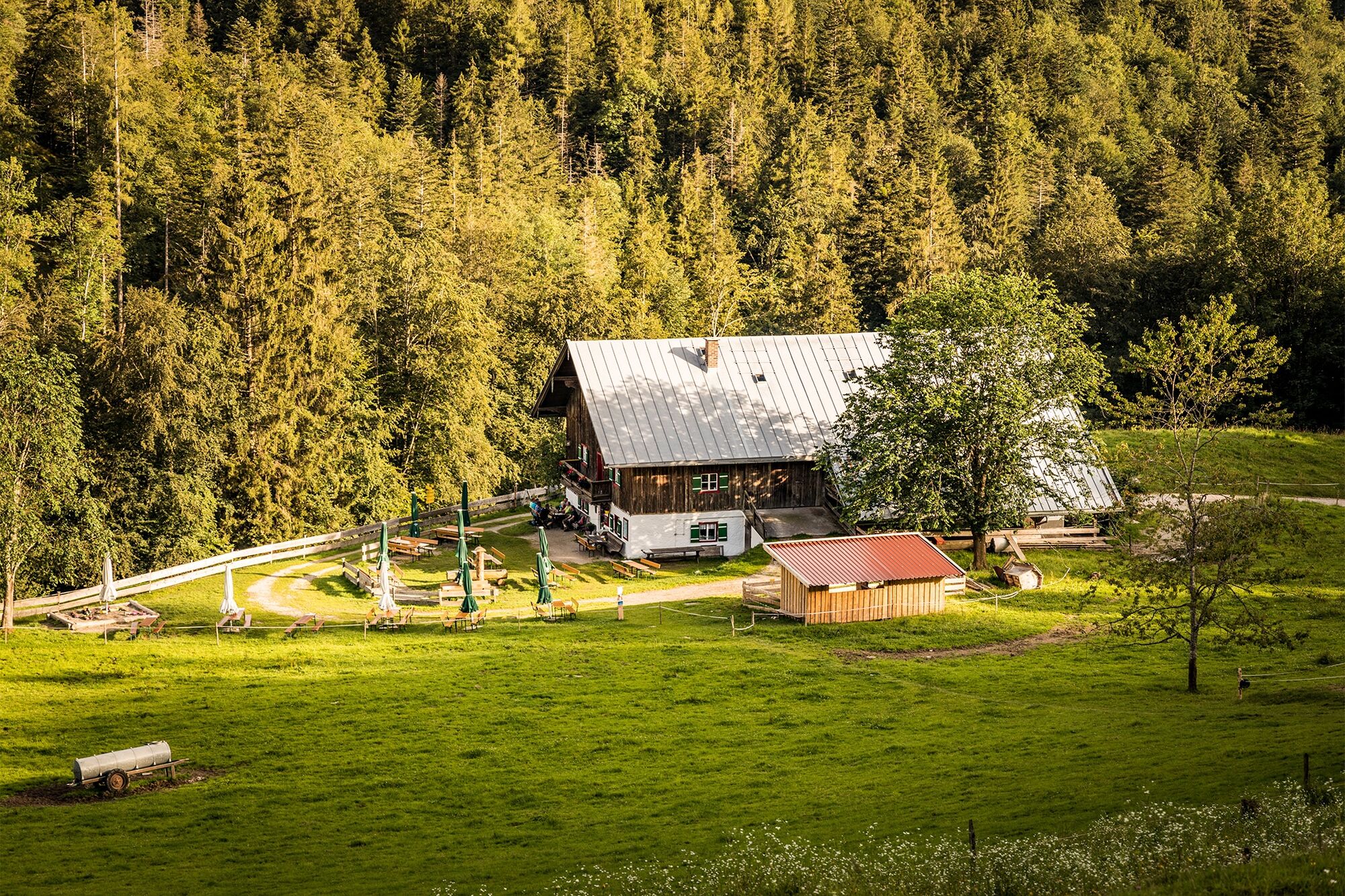
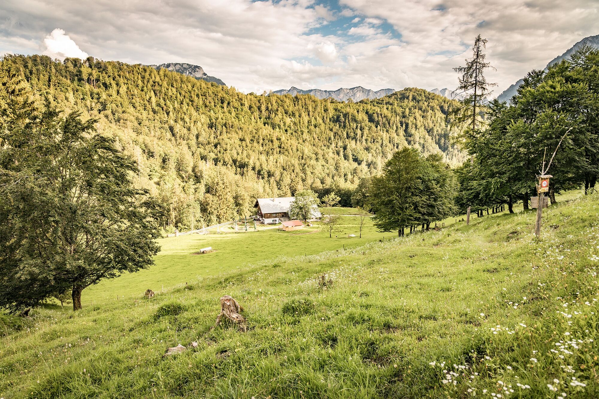
Die kurze Wanderung führt vom Thumsee durch den Wald hinauf zum Hochrießelsattel und weiter zur bewirtschafteten Höllenbachalm. Nach einer Einkehr wandern wir auf dem selben Weg zurück
- Difficulty
-
easy
- Rating
-
- Route
-
Höllenbachalm3.8 km
- Best season
-
JanFebMarAprMayJunJulAugSepOctNovDec
- Highest point
- 878 m
- Endpoint
-
Thumsee
- Height profile
-
 © outdooractive.com

-

-
AuthorThe tour Vom Thumsee zur Höllenbachalm is used by outdooractive.com provided.
GPS Downloads


General info
Refreshment stop
Insider tip
Other tours in the regions
-
Berchtesgadener Land
1580
-
Schneizlreuth
530