
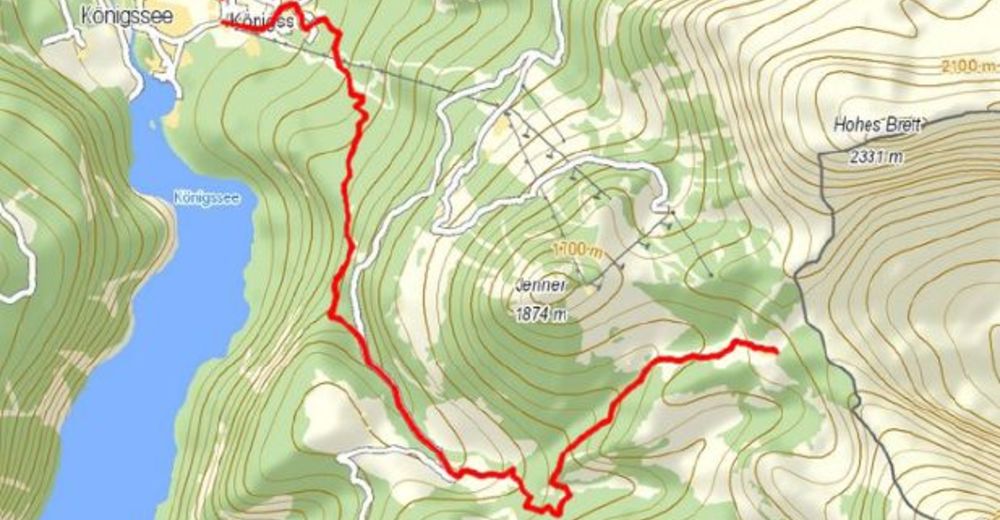
Tour data
7.53km
621
- 1,677m
1,056hm
05:30h

- Rating
-
- Starting point
-
Parkplatz Königssee
- Route
-
KönigsseeKönigsbachalm4.2 kmSchneibsteinhaus7.4 km
- Best season
-
JanFebMarAprMayJunJulAugSepOctNovDec
- Highest point
- 1,677 m
- Rest/Retreat
-
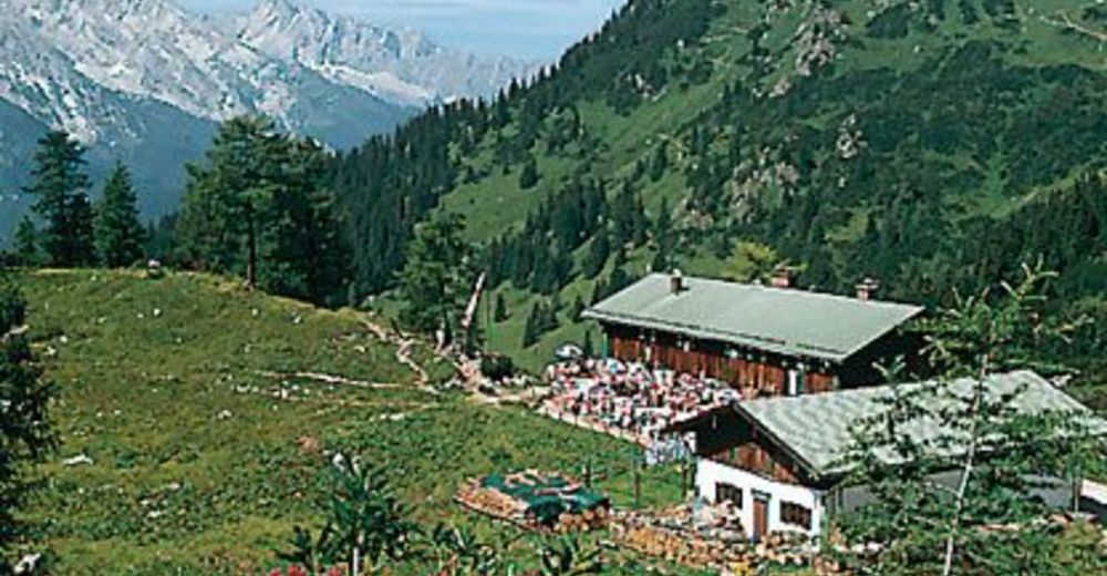
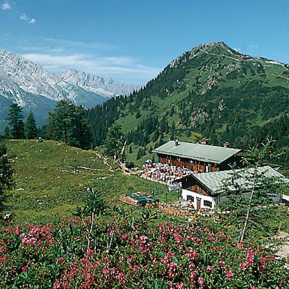
Königsbachalm, Schneibsteinhaus, Car-von-Stahlhaus

GPS Downloads


Trail conditions
Asphalt
Gravel
(70%)
Meadow
Forest
(20%)
Rock
(10%)
Exposed
Other tours in the regions
-
Berchtesgadener Land
1607
-
Schönau am Königssee
476


