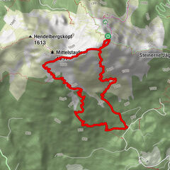
Tour data
8.07km
907
- 1,414m
509hm
480hm
02:24h

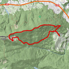
- Brief description
-
Unternberg von Raffner Alm
- Difficulty
-
medium
- Rating
-
- Route
-
Boider Kaser3.0 kmUnternbergalm3.8 kmBergstation Unternberglift3.9 kmUnternberg (1,450 m)4.0 km
- Highest point
- 1,414 m


GPS Downloads


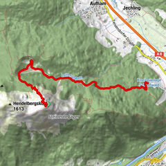
Other tours in the regions
-
Chiemgau - Chiemsee
1330
-
Ruhpolding
306