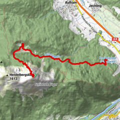
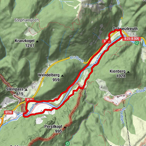
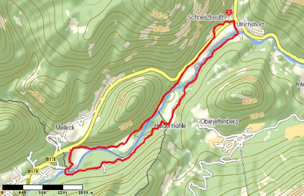
Tour data
10.6km
363
- 566m
203hm
02:45h
- Rating
-
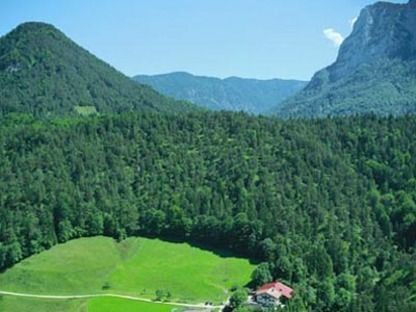
- Starting point
-
Schneizlreuth
- Route
-
WurznwirtSchneizlreuth0.3 kmHaiderhof2.7 kmSchwaiger3.2 kmKeßler4.7 kmGasthaus Schneizlreuth9.8 kmUnseren Helden10.5 kmWurznwirt10.5 kmSchneizlreuth10.6 km
- Highest point
- 566 m
GPS Downloads


Trail conditions
Asphalt
(10%)
Gravel
(80%)
Meadow
Forest
(10%)
Rock
Exposed
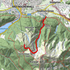
Other tours in the regions
-
Salzburger Saalachtal
1855
-
Schneizlreuth
553