© Tourenportal Berchtesgadener Land - Sepp Wurm

© Tourenportal Berchtesgadener Land - Sepp Wurm

© Tourenportal Berchtesgadener Land - Sepp Wurm

© Tourenportal Berchtesgadener Land - Sepp Wurm

© Tourenportal Berchtesgadener Land - Sepp Wurm

© Tourenportal Berchtesgadener Land - Sepp Wurm

© Tourenportal Berchtesgadener Land - Sepp Wurm

© Tourenportal Berchtesgadener Land - Sepp Wurm

© Tourenportal Berchtesgadener Land - Sepp Wurm

© Tourenportal Berchtesgadener Land - Sepp Wurm
Tour data
24.3km
794
- 2,469m
1,604hm
1,617hm
10:00h
- Brief description
-
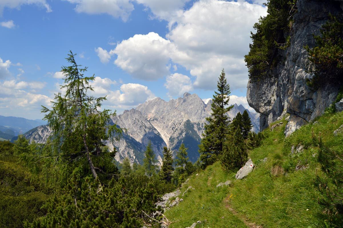
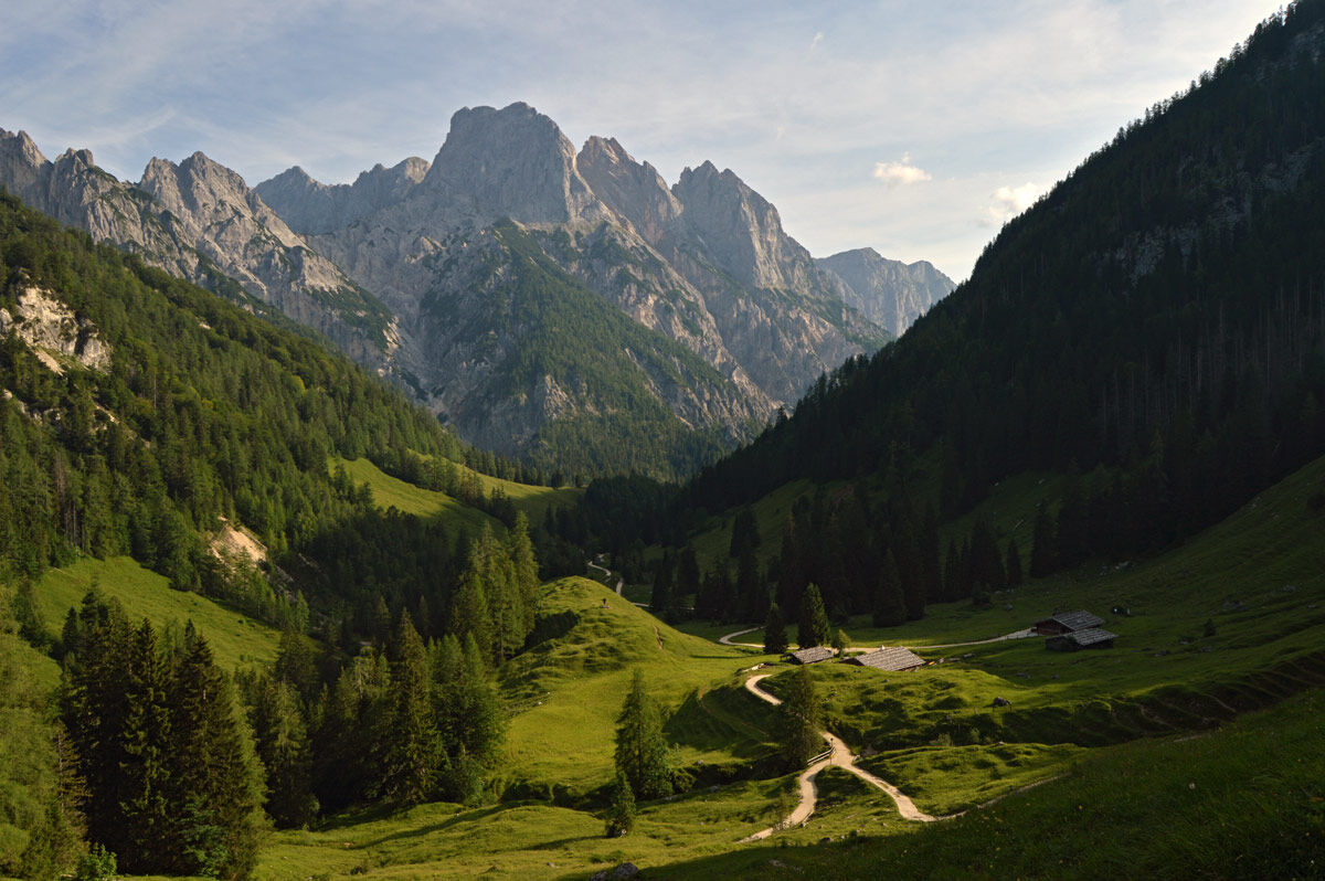
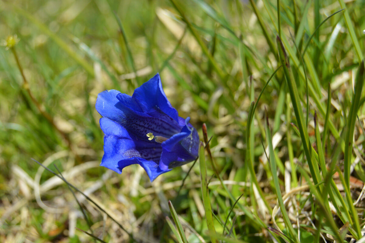
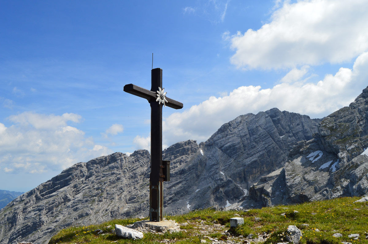
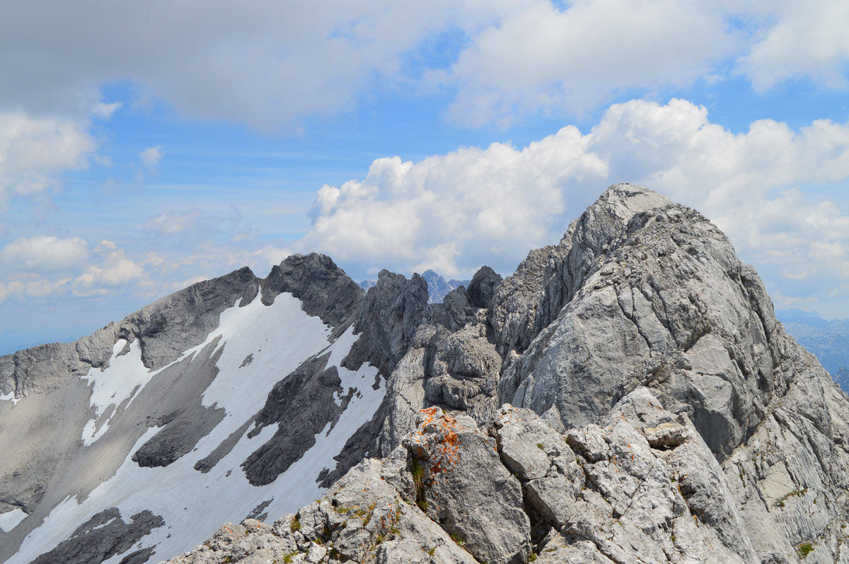
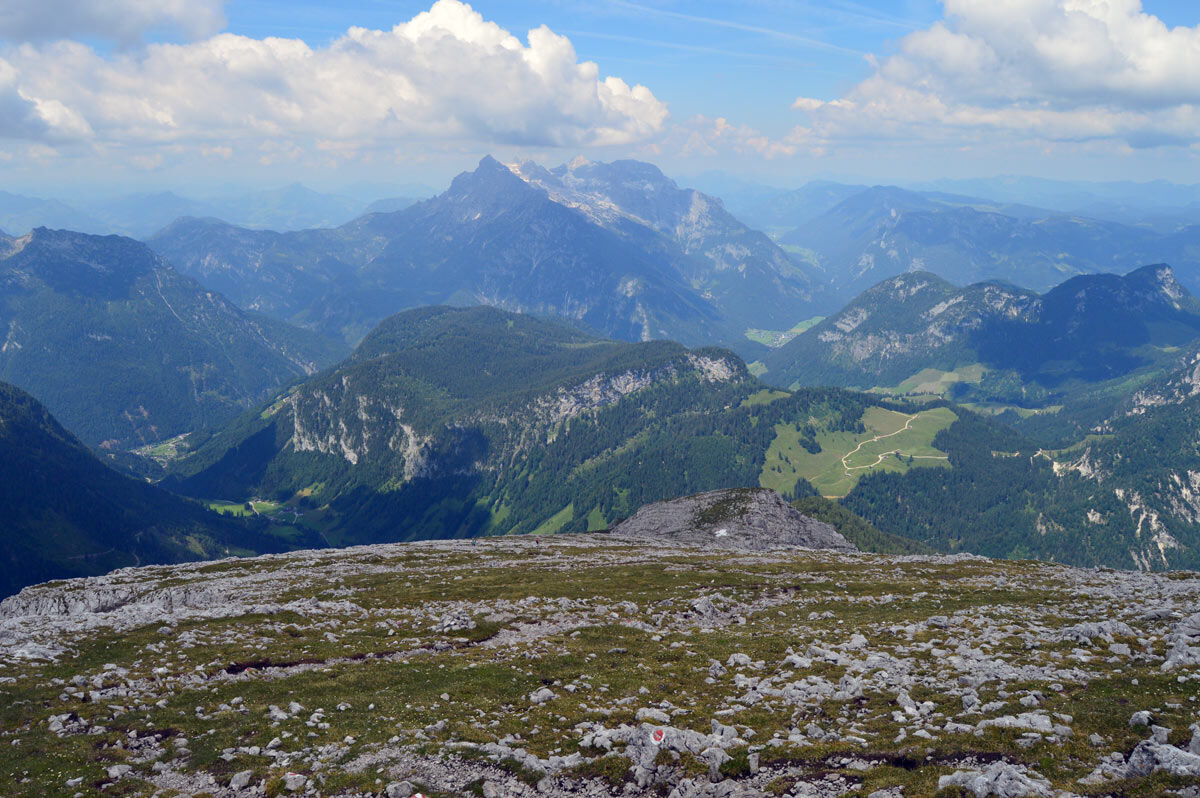
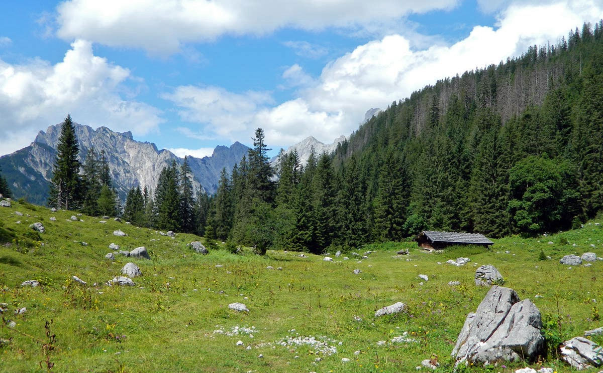
Eine traumhafte, lange, aber unschwierige Wanderung in alpinem Ambiente, die eigentlich nie überlaufen ist.
- Difficulty
-
difficult
- Rating
-
- Route
-
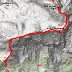
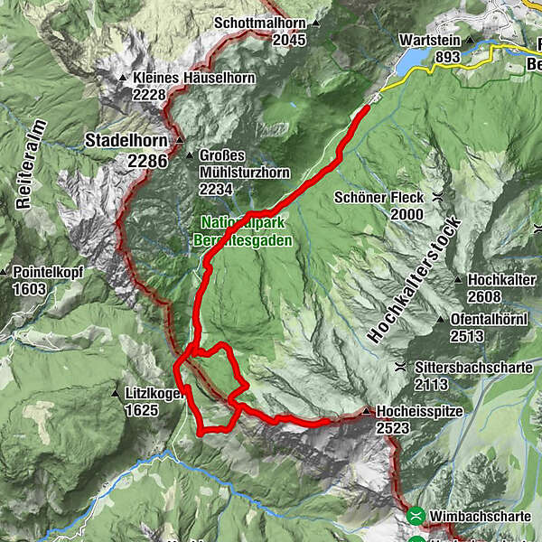
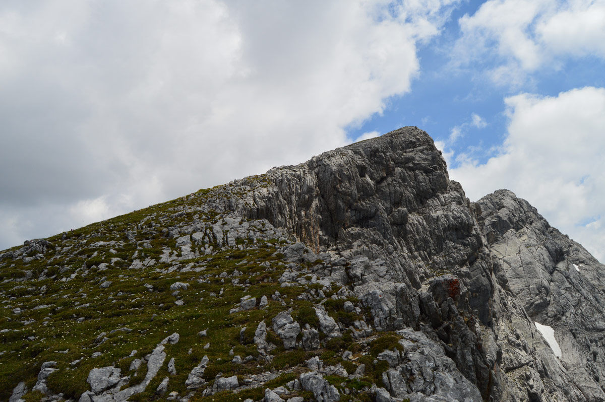
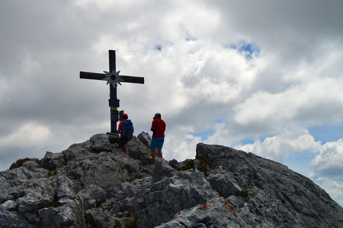
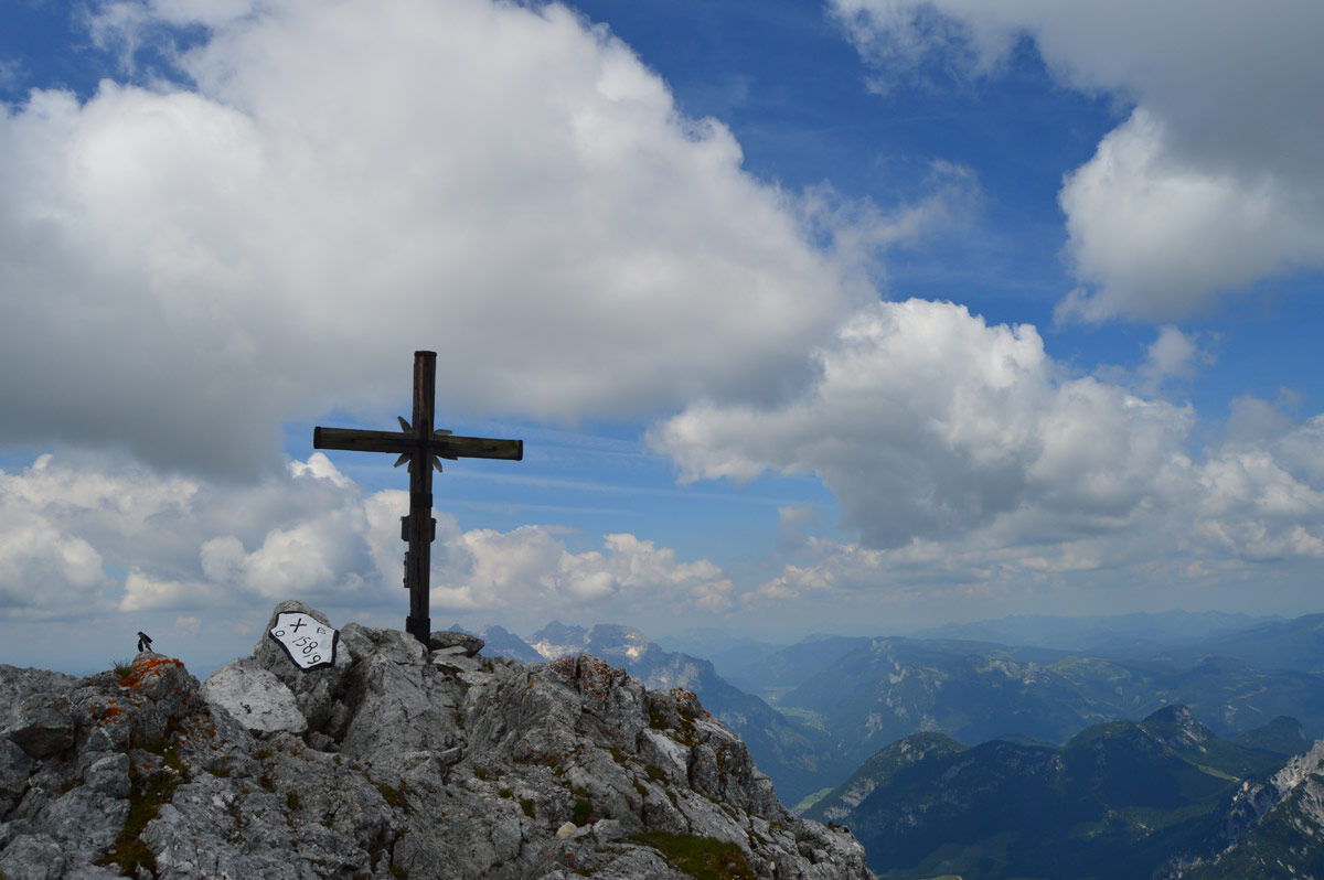
Hängebrücken3.5 kmBindalm6.4 kmMösler-Kaser6.5 kmKammerlinghorn (2,483 m)11.8 kmAlmausschank Feichtnkaser15.3 kmPoint16.5 kmHirschbichl-Pass (1,183 m)16.7 kmMooswachtkapelle17.1 kmHirschbichl17.1 kmAlpengasthof Hirschbichl17.2 kmBergheim Hirschbichl17.2 kmBindalm17.7 kmMösler-Kaser17.7 kmHängebrücken20.7 km
- Best season
-
JanFebMarAprMayJunJulAugSepOctNovDec
- Highest point
- 2,469 m
- Endpoint
-
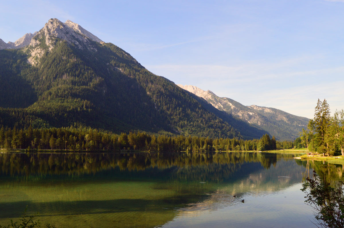
Hintersee
- Height profile
-
 © outdooractive.com


-

-
AuthorThe tour Kammerlinghorn is used by outdooractive.com provided.
GPS Downloads


General info
Refreshment stop
Other tours in the regions
-
Salzburger Saalachtal
1856
-
Weißbach bei Lofer
356