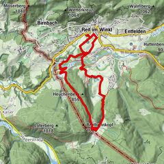
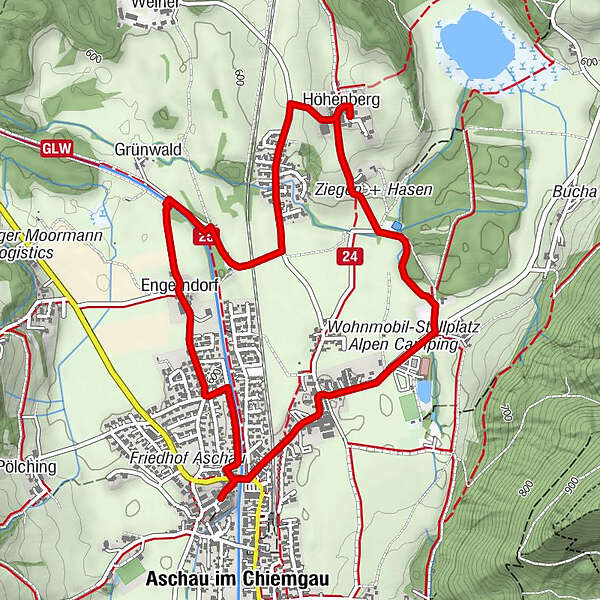
Der Aschauer Kapellenweg Nord

Logo Der Aschauer Kapellenweg Nord
Tour data
5.68km
594 - 632m
Distance
34hm
43hm
Ascent
02:00h
 
Duration
Rating
Technique
Fitness
Landscape
Experience
Route
Aschau im Chiemgau (615 m)
Mariä Lichtmeß
Engerndorf
0.9 km
Marien-Kapelle
1.3 km
Grünwald
1.5 km
Höhenberg
3.0 km
Feldkapelle
3.4 km
Innerkoy
4.4 km
Mariä Lichtmeß
5.6 km
Aschau im Chiemgau (615 m)
5.6 km
Highest point
632 m
Height profile
© outdooractive.com

Author
The tour Der Aschauer Kapellenweg Nord is used by outdooractive.com provided.

Overall rating

5

0

%

4

0

%

3

0

%

2

0

%

1

0

%

Error
An error has occurred. Please try again.
Thank you for your review

Rating has been deleted

GPS Downloads
  • GPX GPS Exchange Format (XML)
  • KML Google Earth, Google Maps
QR Download Codes for Mobile Phones
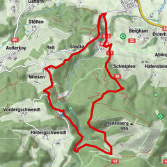
Other tours in the regions

Popular tours in the area

Klausenbach Gorge Premium Trail

medium Hiking
9.68km | 250hm | 02:50h

Rundwanderung Seiseralm Chiemgau

easy Hiking
6.91km | 323hm | 02:30h

Musikantensteig zur Naunspitze

medium Hiking
8.96km | 979hm | 03:28h

Unterberghorn

medium Hiking
7.53km | 1048hm | 06:00h