Tour data
8.48km
887
- 1,038m
265hm
223hm
02:30h
- Brief description
- Difficulty
-
easy
- Rating
-
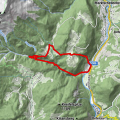
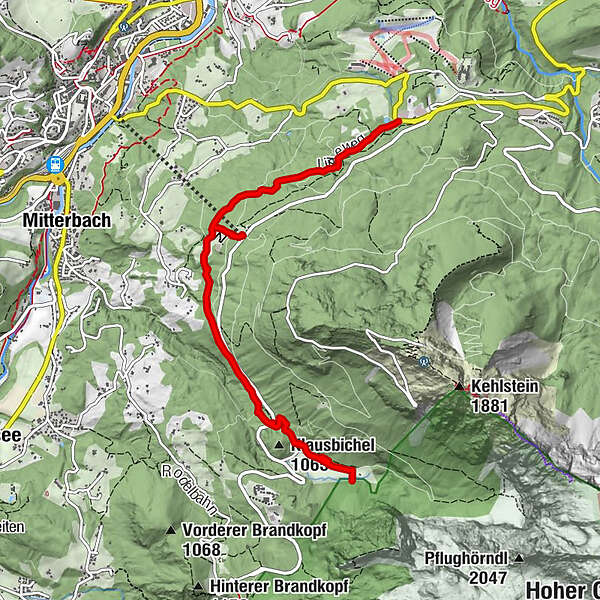
- Route
-
Alpengasthof Hochlenzer2.2 kmAlpengasthaus Graflhöhe2.9 kmWindbeutelbaron3.0 kmAlpengasthaus Graflhöhe7.0 kmWindbeutelbaron7.1 kmAlpengasthof Hochlenzer7.9 kmBergstation (1,020 m)8.4 km
- Best season
-
JanFebMarAprMayJunJulAugSepOctNovDec
- Highest point
- 1,038 m
- Endpoint
-
Scharitzkehlalm, Berchtesgaden
- Height profile
-
 © outdooractive.com

-

-
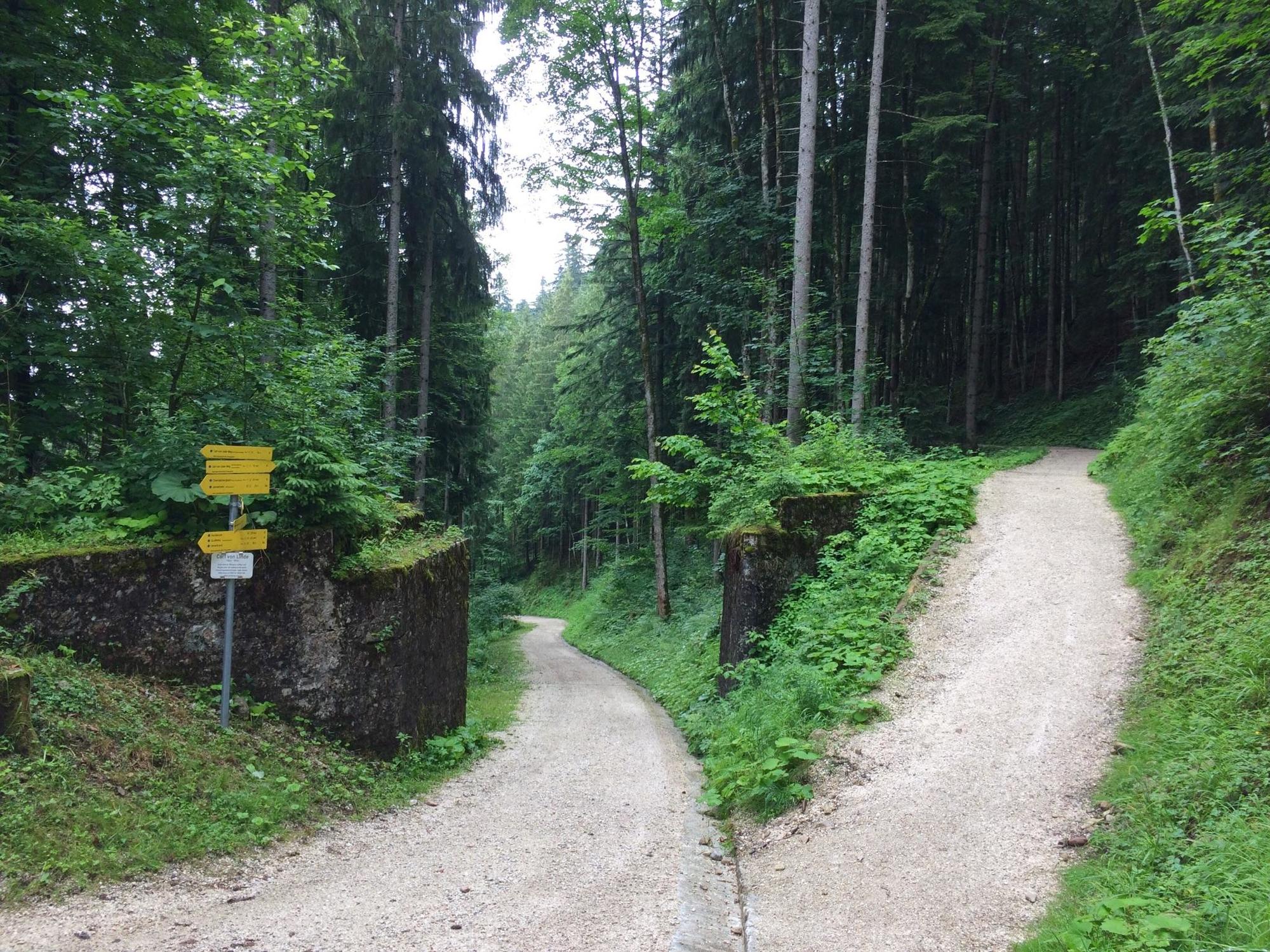
AuthorThe tour Carl-von-Linde-Weg is used by outdooractive.com provided.
GPS Downloads


General info
Refreshment stop
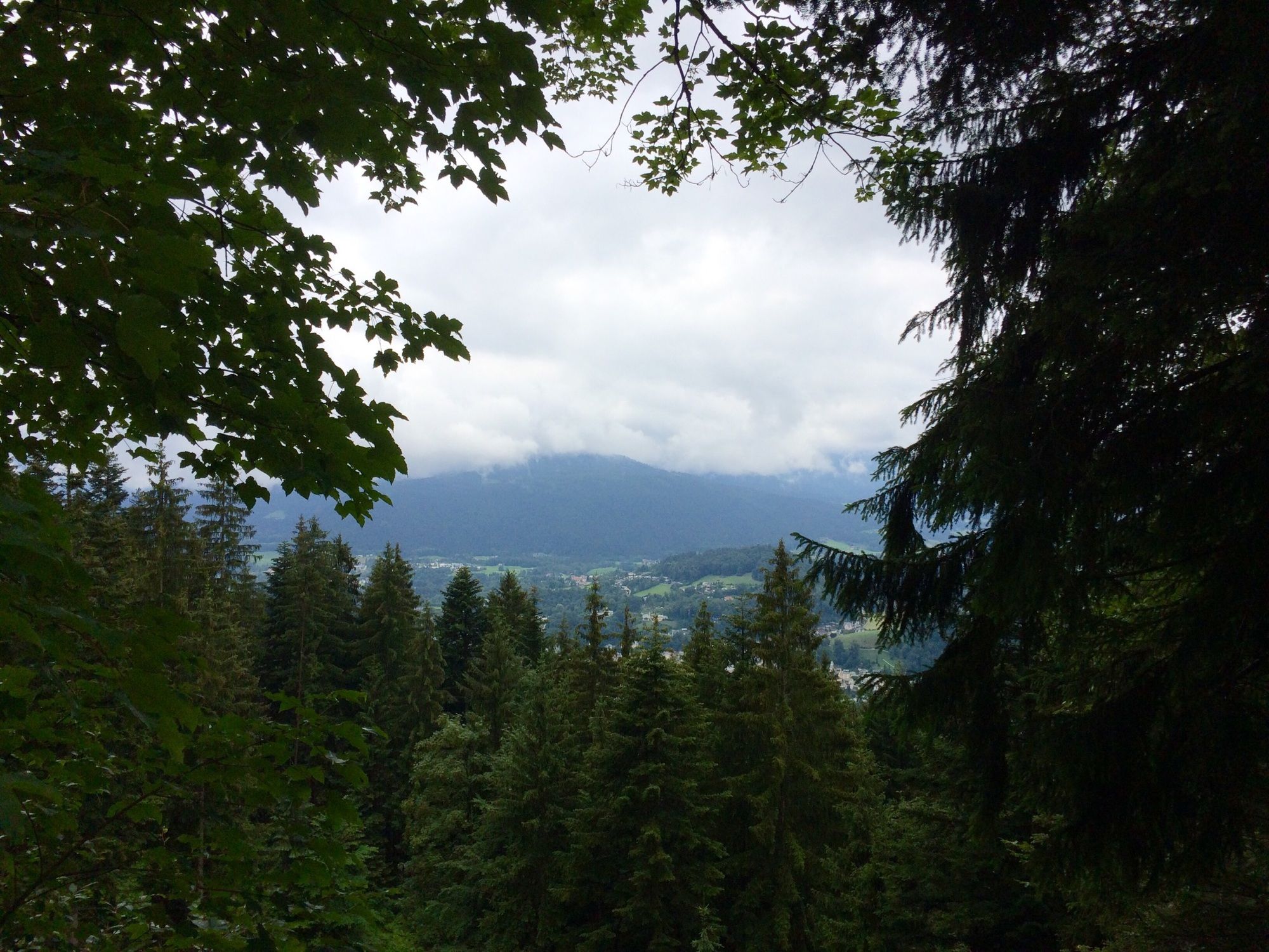
A lot of view
Other tours in the regions
-
Berchtesgadener Land
1580
-
Berchtesgaden
611