© Sepp Wurm

© Sepp Wurm

© Sepp Wurm

© Sepp Wurm

© Sepp Wurm

© Sepp Wurm

© Tourenportal Berchtesgadener Land - Bergerlebnis Berchtesgaden
Tour data
6.34km
1,131
- 1,834m
687hm
74hm
03:00h
- Brief description
-
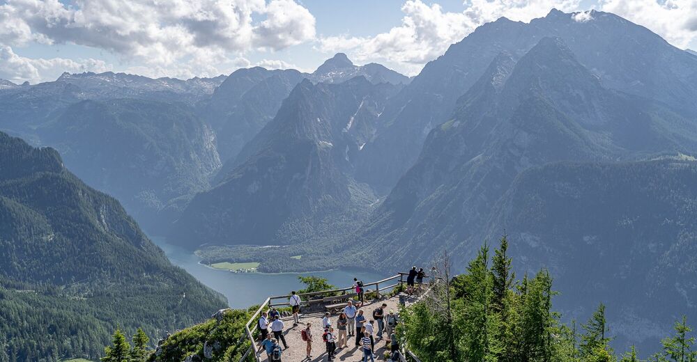
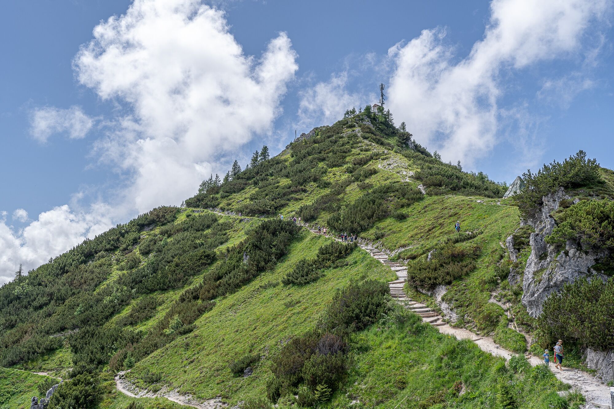
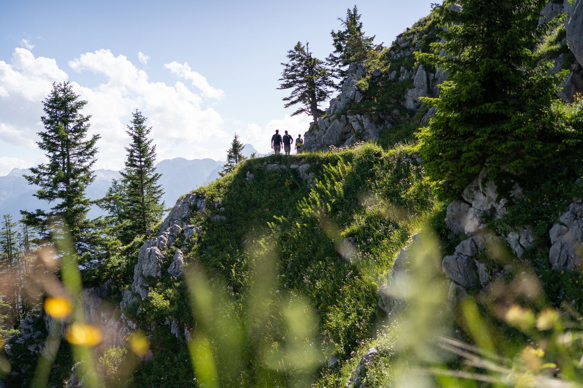
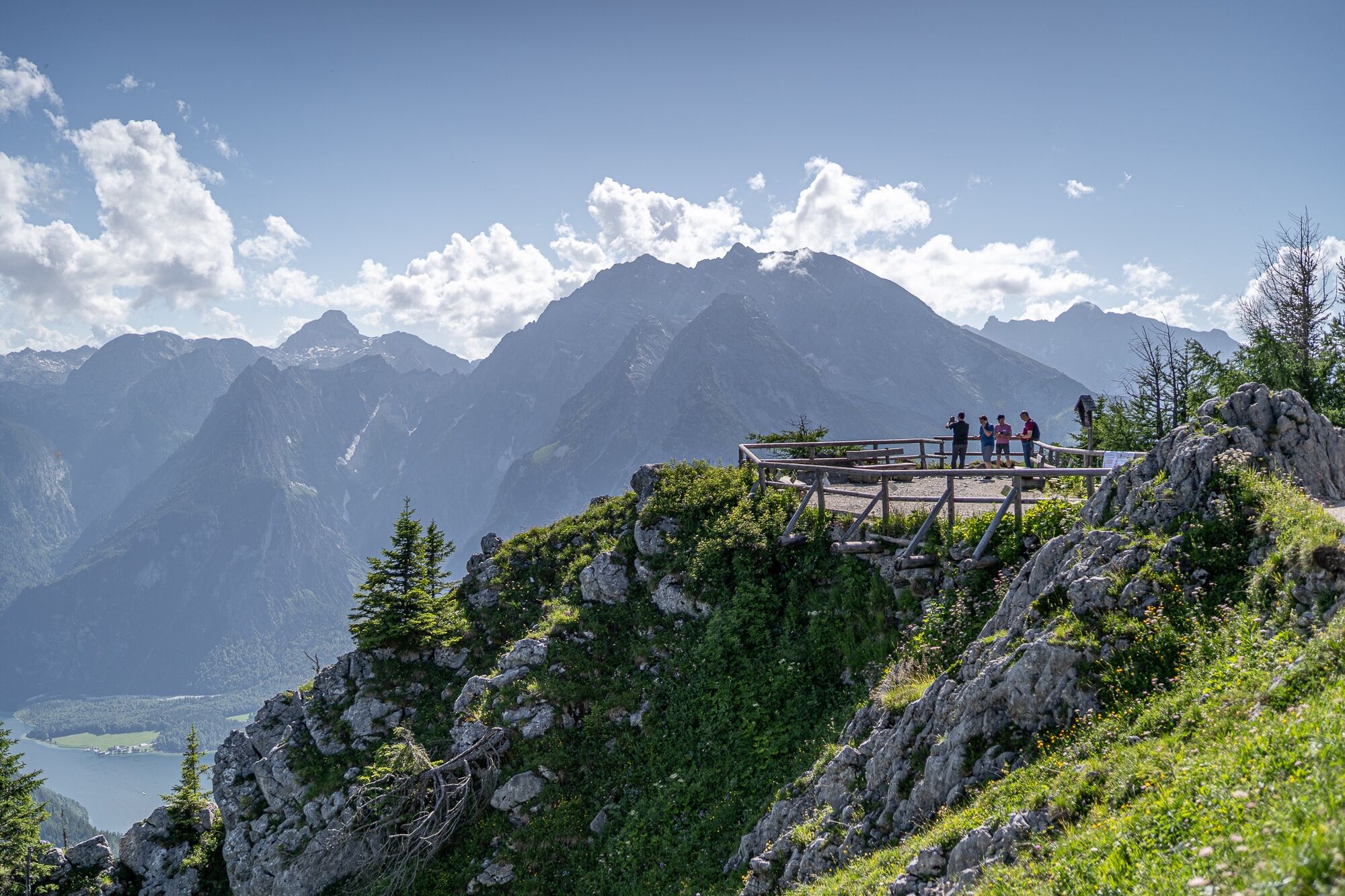
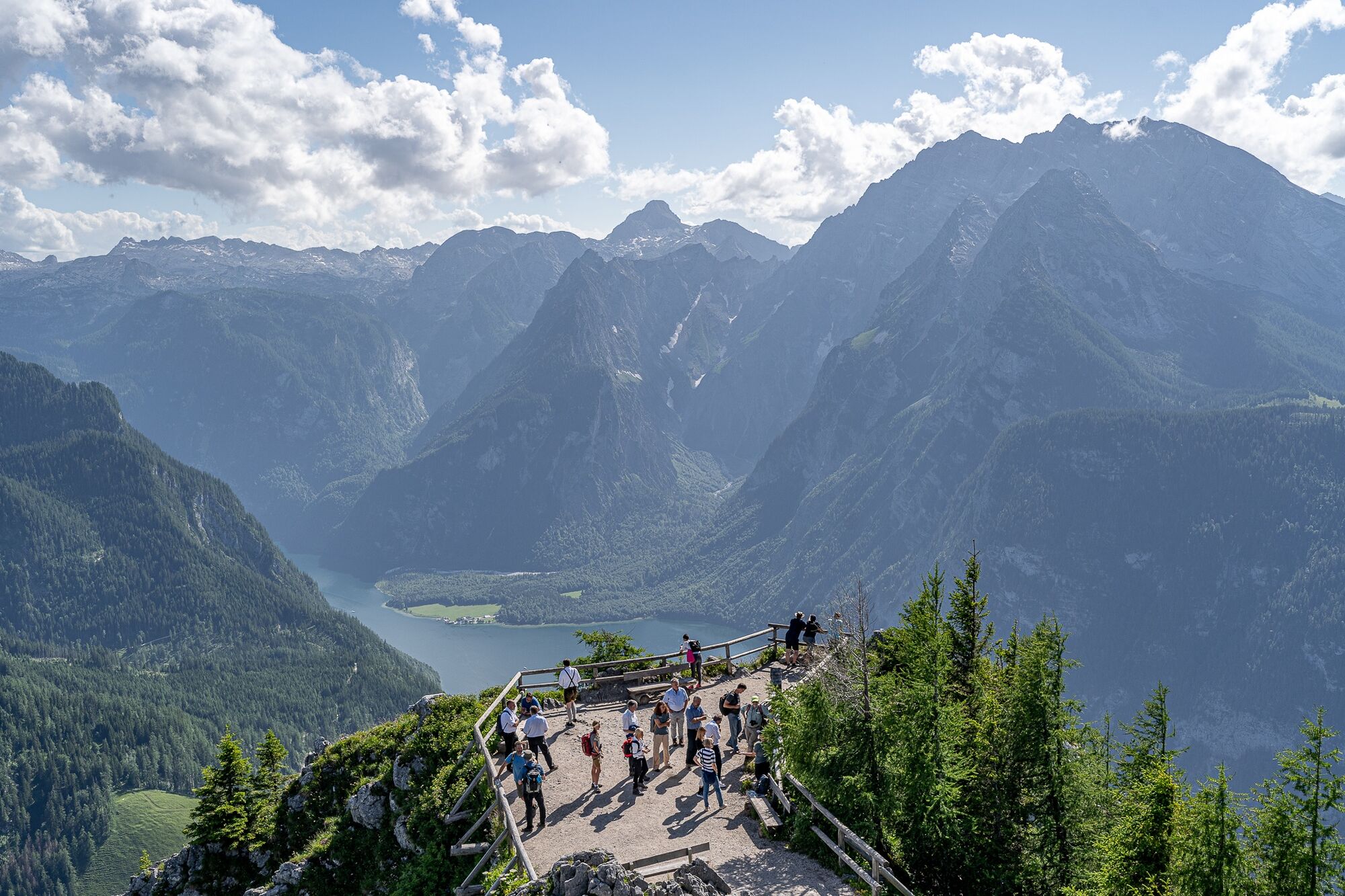
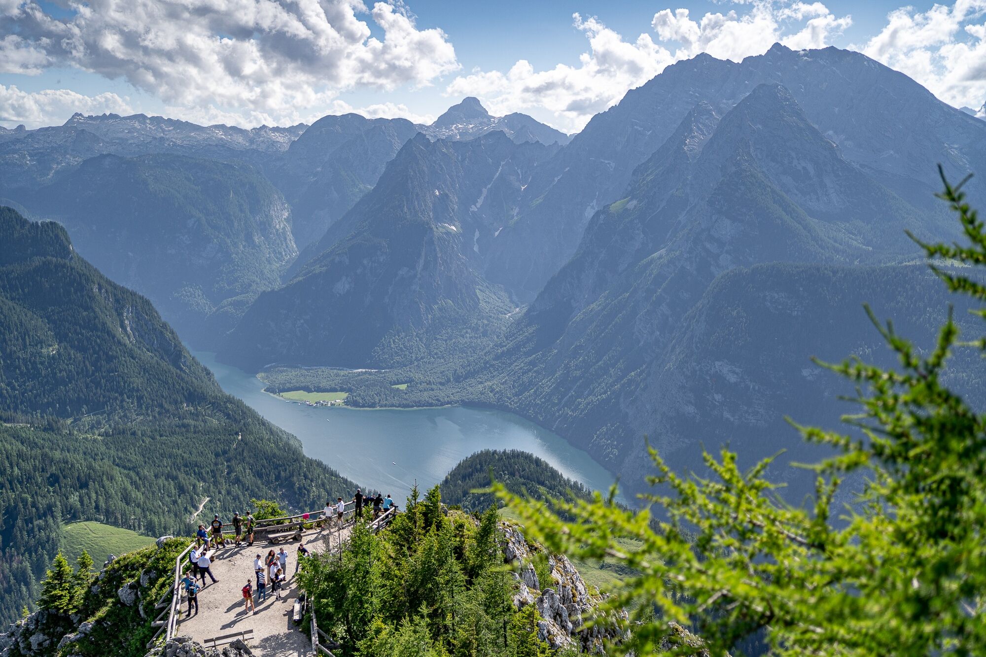
Genüssliche Wanderung auf den Jenner mit Blick auf den Königssee.
- Difficulty
-
medium
- Rating
-
- Route
-
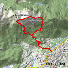
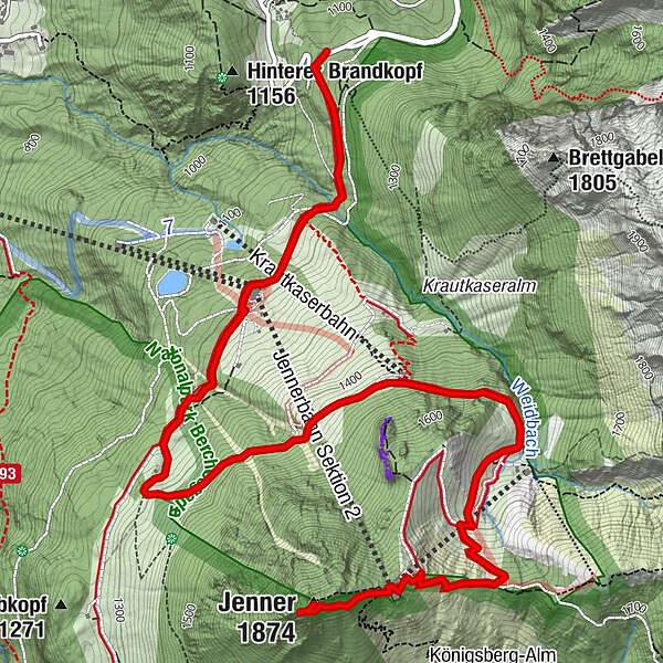
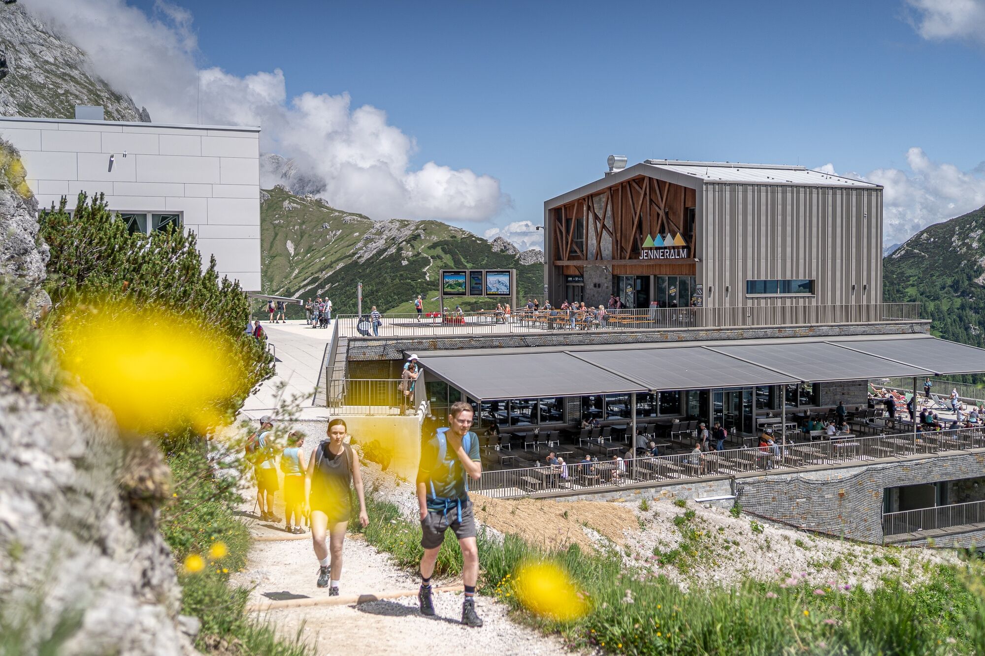
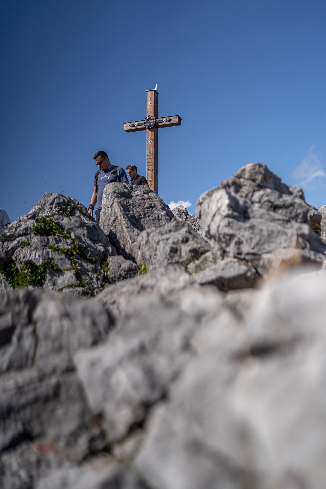
Bergquell0.6 kmJennerbahn1.1 kmHalbzeit1.1 kmAussichtspunkt Jenner5.8 kmJenner (1,874 m)5.9 kmJenneralm6.3 km
- Best season
-
JanFebMarAprMayJunJulAugSepOctNovDec
- Highest point
- 1,834 m
- Endpoint
-
Jenner
- Height profile
-
 © outdooractive.com
-

-
AuthorThe tour Wanderung auf den Jenner is used by outdooractive.com provided.
GPS Downloads


General info
Refreshment stop
A lot of view
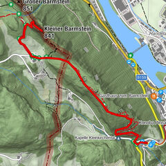
Other tours in the regions
-
Berchtesgadener Land
1580
-
Schönau am Königssee
456