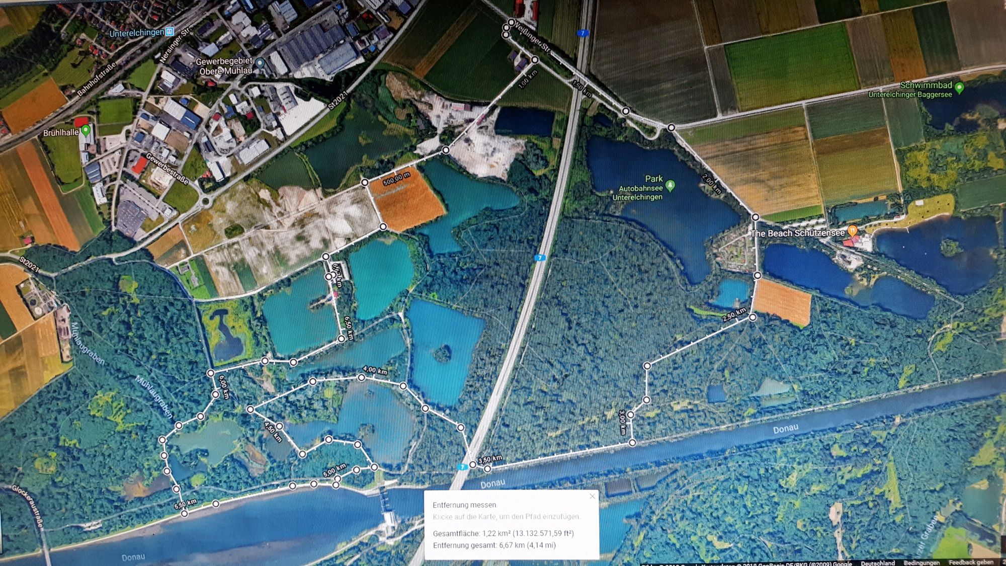
Neu-Ulm - Unterelchingen - Autobahnsee

Logo Neu-Ulm - Unterelchingen - Autobahnsee
Tour data
6.02km
456 - 463m
Distance
10hm
Ascent
01:30h
 
Duration
Brief description

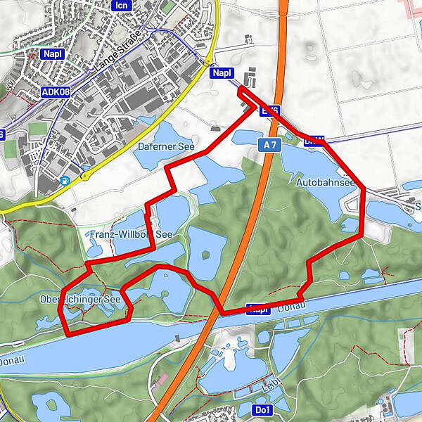
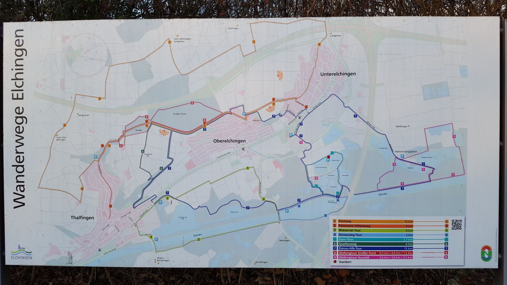
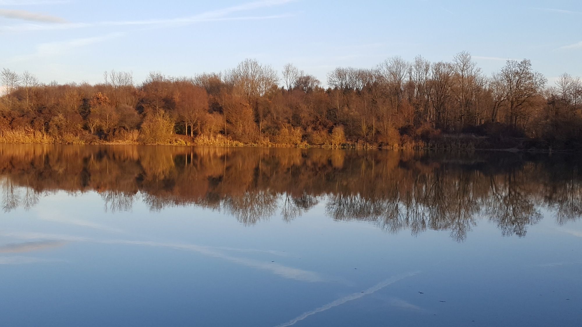
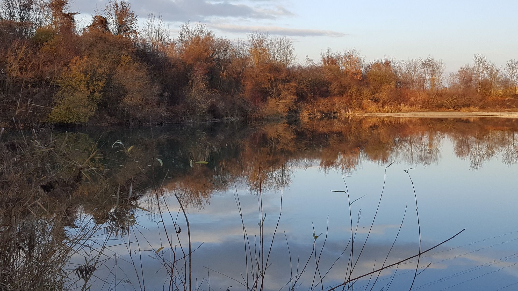
Rundkurs an Seen und Donau vorbei

Difficulty
easy
Rating
Technique
Fitness
Landscape
Experience

Best season
Jan
Feb
Mar
Apr
May
Jun
Jul
Aug
Sep
Oct
Nov
Dec
Highest point
463 m

Overall rating

5

0

%

4

0

%

3

0

%

2

0

%

1

0

%

Error
An error has occurred. Please try again.
Thank you for your review

Rating has been deleted

GPS Downloads
  • GPX GPS Exchange Format (XML)
  • KML Google Earth, Google Maps
QR Download Codes for Mobile Phones

Trail conditions

Asphalt (20)
Gravel (70)
Meadow (10)
Forest (70)
Rock
Exposed
Other tours in the regions

Popular tours in the area

Panoramahöhenweg Elchingen

easy Hiking
6.34km | 98hm | 01:35h

Alb-Donau-Kreis Eiszeitpfad - Lauterfelsensteig

medium Hiking
13.82km | 213hm | 03:50h

Eselsburger Tal - Wandervorschlag 5

easy Hiking
2.91km | 48hm | 01:00h