- Brief description
-
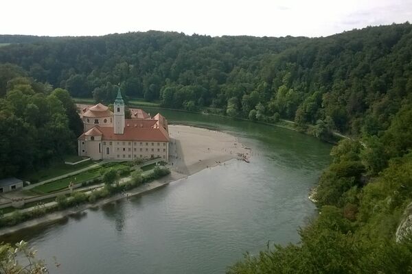
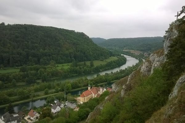
Natur und Kulturgenuss der Extraklasse ist auf diesem Weg garantiert.
- Difficulty
-
medium
- Rating
-
- Route
-
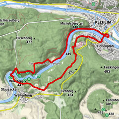
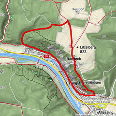
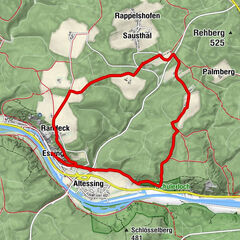
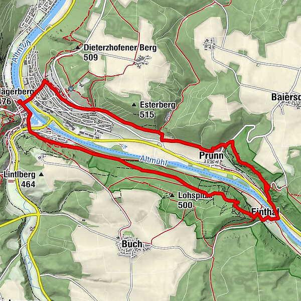
Riedenburg (353 m)0.4 kmKlammhöhle4.3 kmKlammhöhle4.7 kmEinthal (352 m)5.2 kmNußhausen (354 m)5.8 kmHl. Jakobus6.3 kmSchloßprunn (450 m)6.4 kmEl Chalet6.4 kmPrunn (355 m)8.0 kmRiedenburg (353 m)11.7 km
- Best season
-
JanFebMarAprMayJunJulAugSepOctNovDec
- Highest point
- 463 m
- Endpoint
-
Riedenburg (PLZ 93339), Austraße, Parkplatz Innenstadt an der St. Anna Brücke
- Height profile
-
 © outdooractive.com
- Author
-
The tour Klammwanderweg is used by outdooractive.com provided.
GPS Downloads


General info
Refreshment stop
Cultural/Historical
Flora
A lot of view
Other tours in the regions
-
Landkreis Kelheim
200
-
Riedenburg
92