© Meckatzer Löwenbräu Benedikt Weiß KG - Silke Teltscher


- Brief description
-
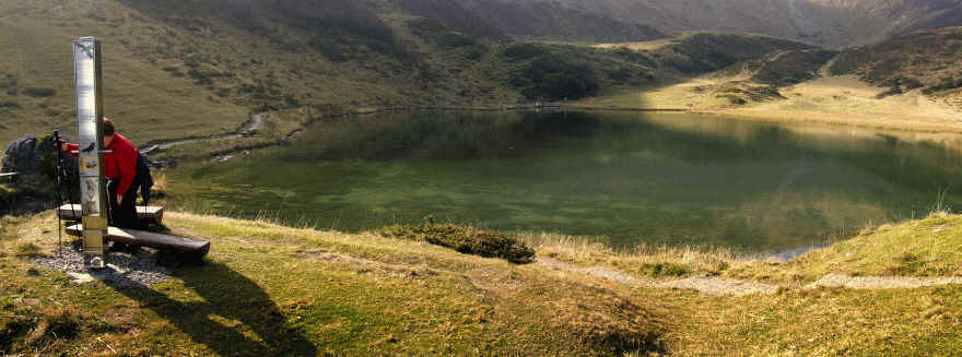
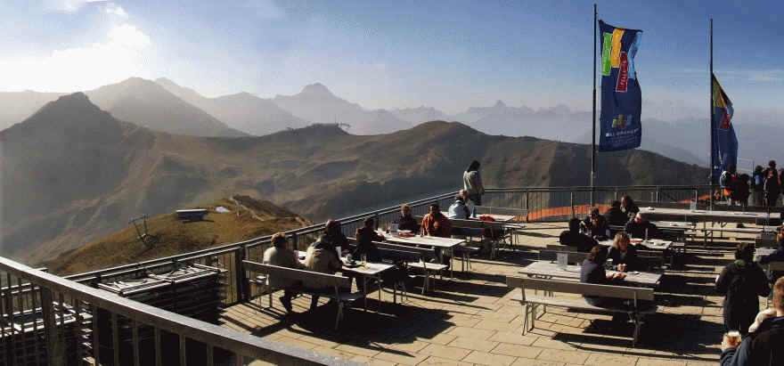
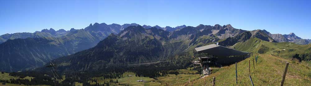
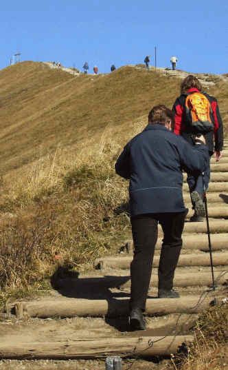
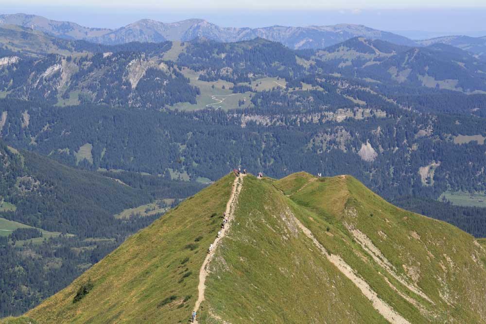
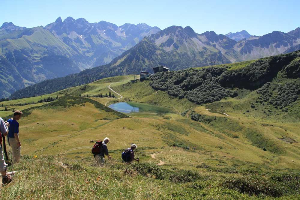
Familientaugliche Bergwanderung mit gigantischer Aussicht auf die Oberstdorfer Berge.
- Rating
-
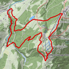
- Route
-
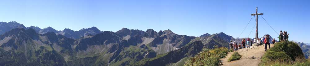
Fellhorn Gipfelstation (1,967 m)Fellhorn (2,038 m)0.3 km
- Highest point
- 2,028 m
- Endpoint
-
Parkplatz Talstation Fellhornbahn
- Height profile
-
 © outdooractive.com


- Author
-
The tour Fellhorn Rundweg - Allgäuer Picknickplätze is used by outdooractive.com provided.
GPS Downloads


General info
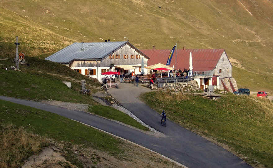
Refreshment stop
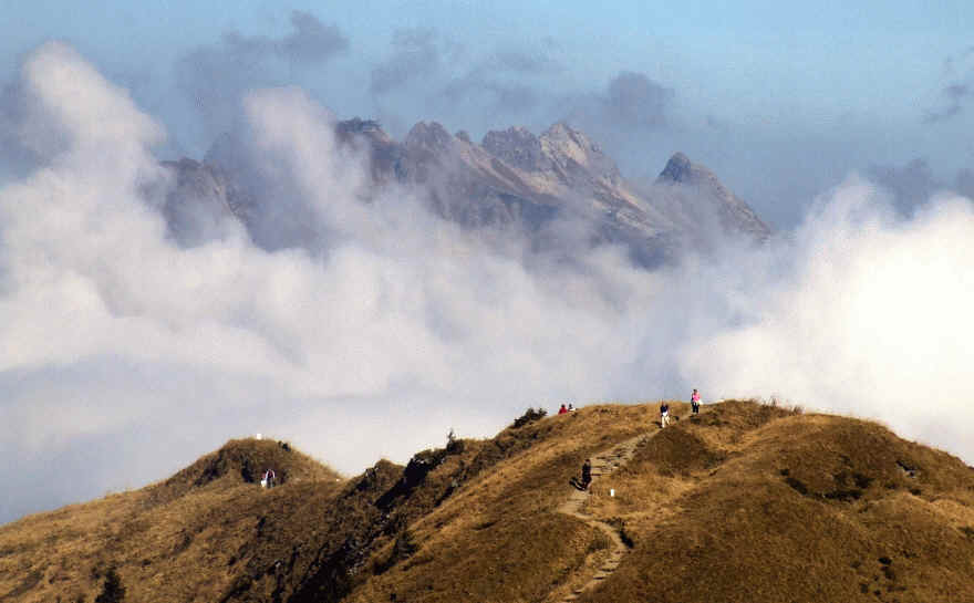
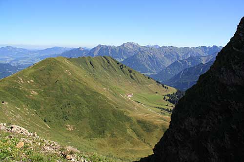
A lot of view
Other tours in the regions