© Tourenportal Berchtesgadener Land - Bergerlebnis Berchtesgaden

© Tourenportal Berchtesgadener Land - Bergerlebnis Berchtesgaden

© Tourenportal Berchtesgadener Land - Bergerlebnis Berchtesgaden

© Tourenportal Berchtesgadener Land - Bergerlebnis Berchtesgaden
Tour data
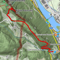
12.79km
469
- 510m
67hm
71hm
03:30h

- Brief description
-
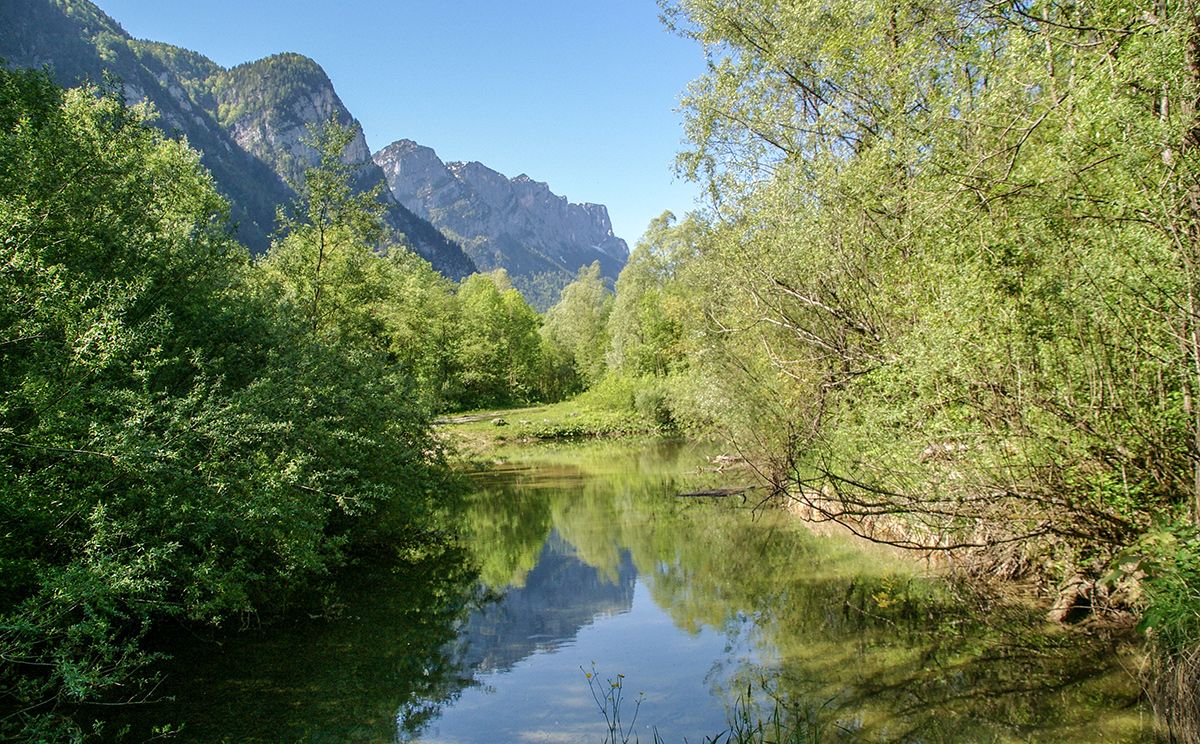
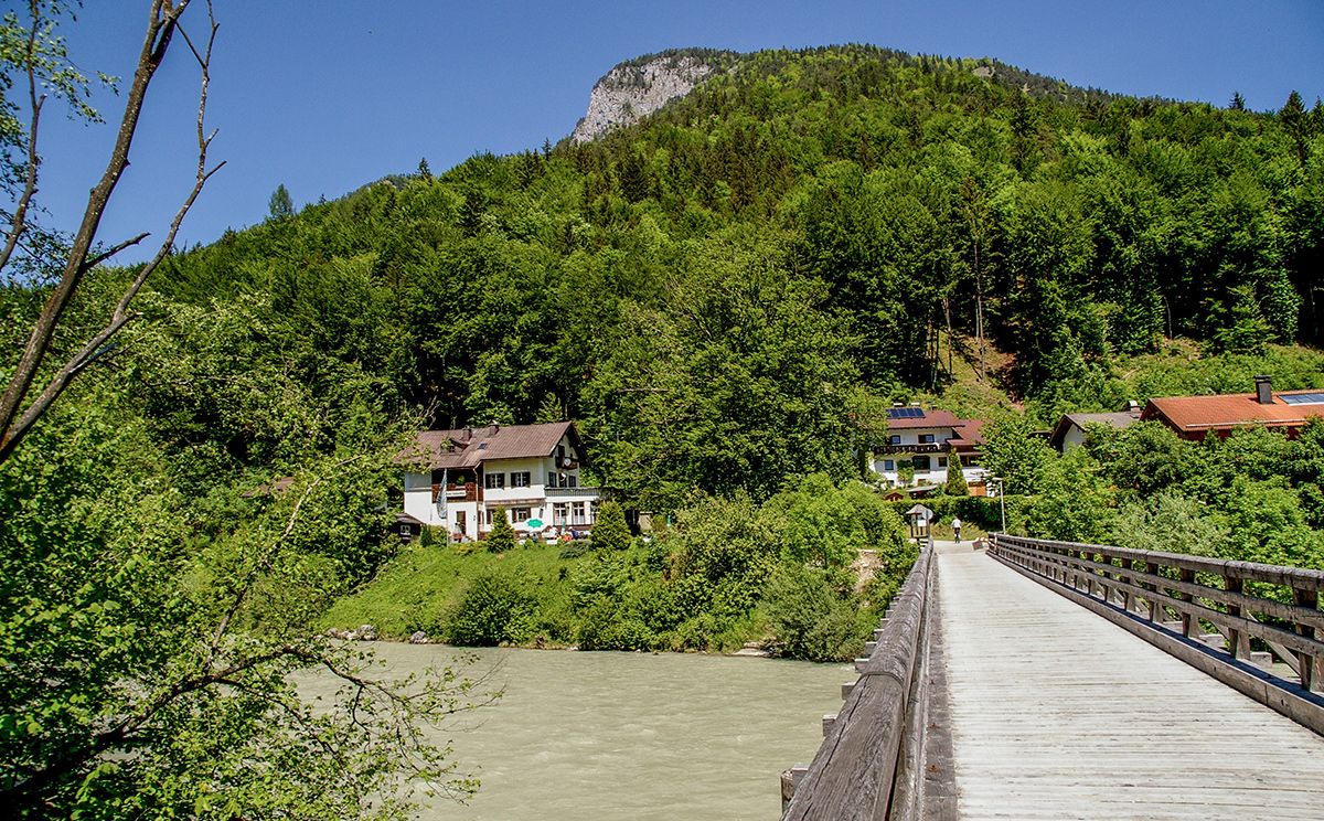
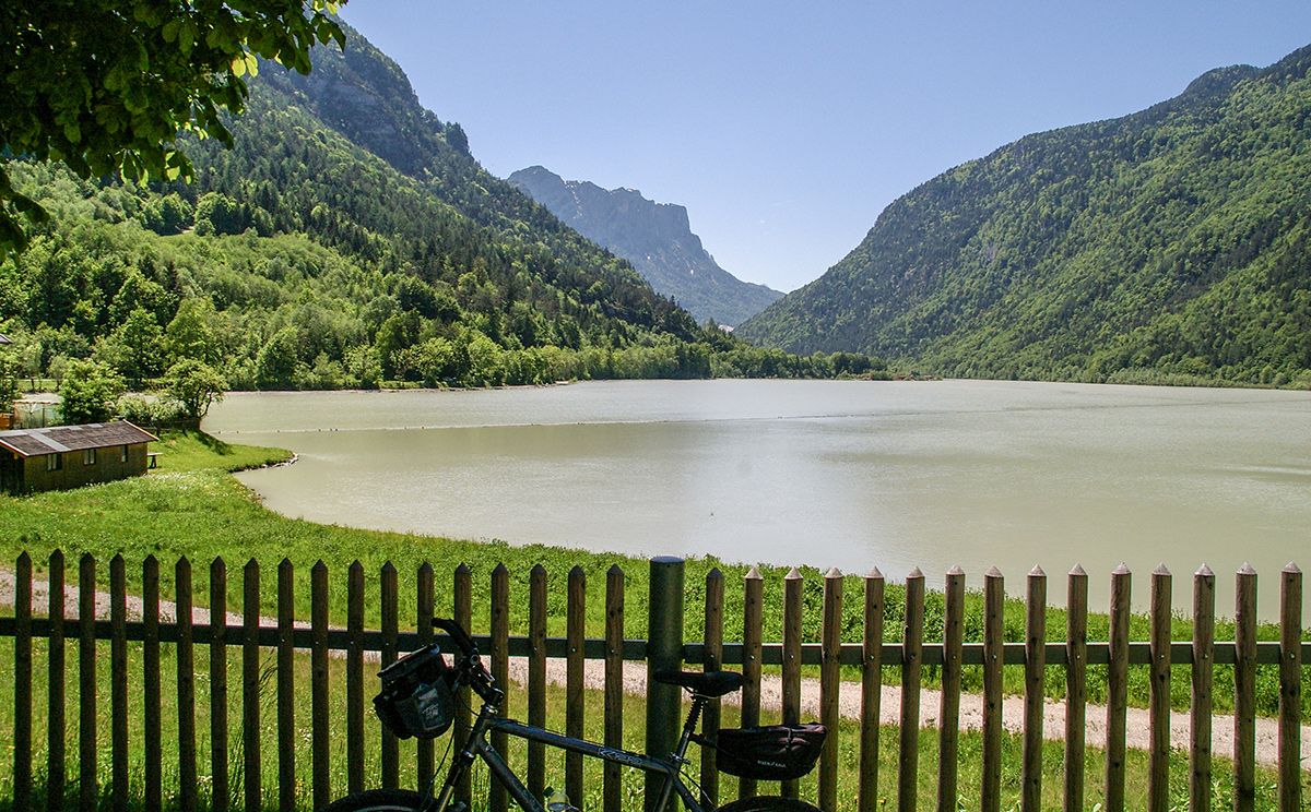
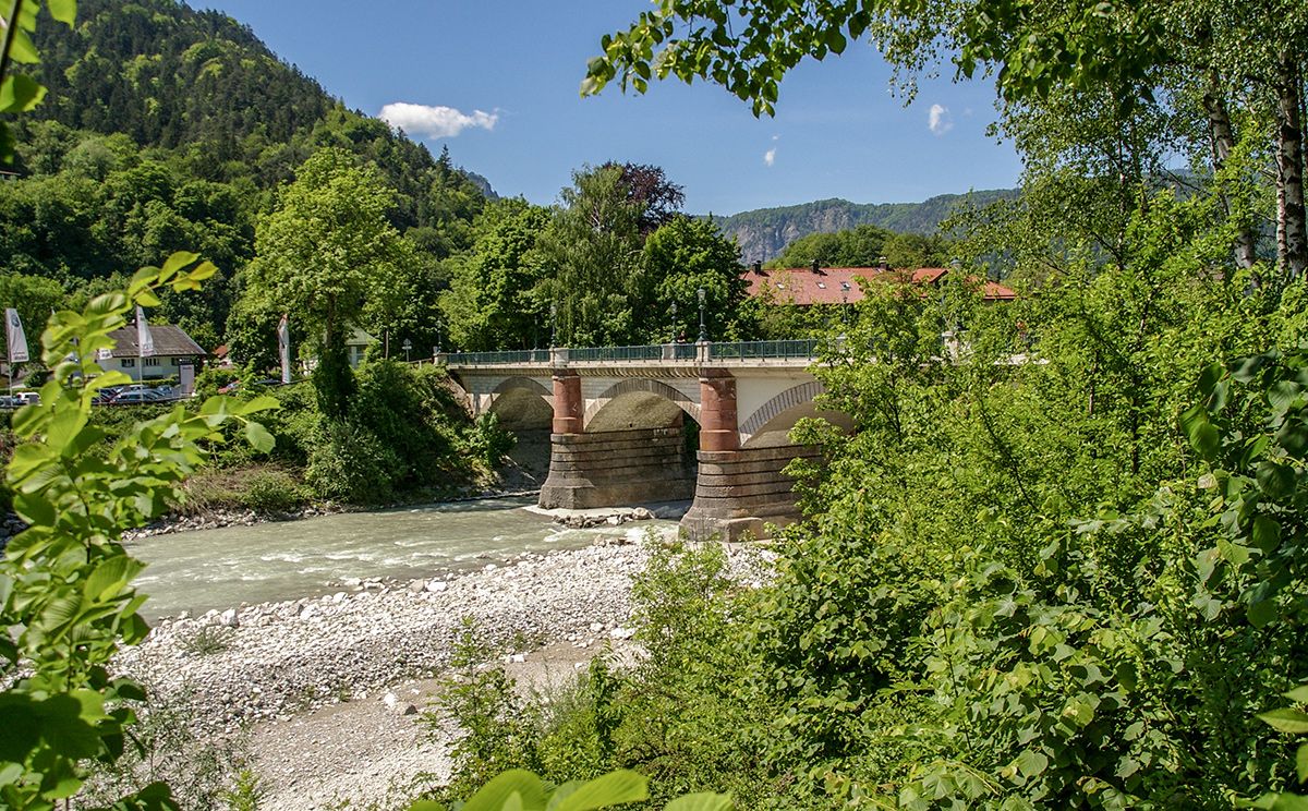
Rundwanderung um den Saalachsee. Die Entstehung verdankt er einer Staustufe in Kibling bei Bad Reichenhall
- Difficulty
-
easy
- Rating
-
- Route
-
Bad Reichenhall (473 m)Palfner3.2 kmSaalachtal5.0 kmUnterjettenberg5.4 kmPalfner7.4 kmLueger7.5 kmBad Reichenhall (473 m)11.7 km
- Best season
-
JanFebMarAprMayJunJulAugSepOctNovDec
- Highest point
- 510 m
- Endpoint
-
Fronau
- Height profile
-
 © outdooractive.com
-

-
AuthorThe tour Saalachsee Rundweg is used by outdooractive.com provided.
GPS Downloads


General info
Refreshment stop
A lot of view
Other tours in the regions
-
Berchtesgadener Land
1604
-
Bad Reichenhall
542