
- Route
-
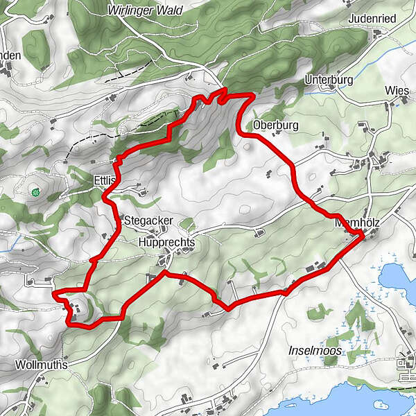
Sankt AndreasMemhölz0.1 kmOberburg0.9 kmSchönstatt auf'm Berg1.8 kmUnteregg1.9 kmGnadenkapelle2.0 kmEttlis2.8 kmStegacker3.0 kmHupprechts4.8 kmMemhölz6.1 kmSankt Andreas6.2 km
- Highest point
- 830 m
- Height profile
-
 © outdooractive.com
- Author
-
The tour Ettlis-Einzenberg-Wollmuths-Hupprechts is used by outdooractive.com provided.
GPS Downloads


Other tours in the regions
-
Allgäu
2367
-
Oberallgäu
1584
-
Waltenhofen
222