© Gemeinde Halblech - Irmengard Burkart

© Tourismusverband Ostallgäu e.V. - MS&P, Michael Schott

- Brief description
-
Einfache Bergwanderung mit tollen Rundumblicken.
- Difficulty
-
medium
- Rating
-
- Route
-
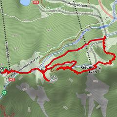
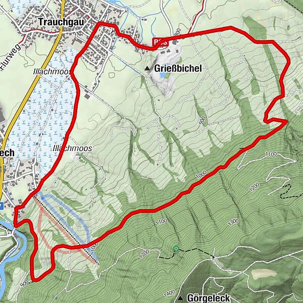
Trauchgau (792 m)Halblech6.3 kmTrauchgau (792 m)7.8 km
- Best season
-
JanFebMarAprMayJunJulAugSepOctNovDec
- Highest point
- 1,019 m
- Endpoint
-
Trauchgau, Gästeinformation
- Height profile
-
 © outdooractive.com
- Author
-
The tour Trauchgauer Höhenweg is used by outdooractive.com provided.
GPS Downloads


General info
Flora
A lot of view
Other tours in the regions
-
Ostallgäu
1225
-
Halblech - Buching - Trauchgau
338