


- Brief description
-
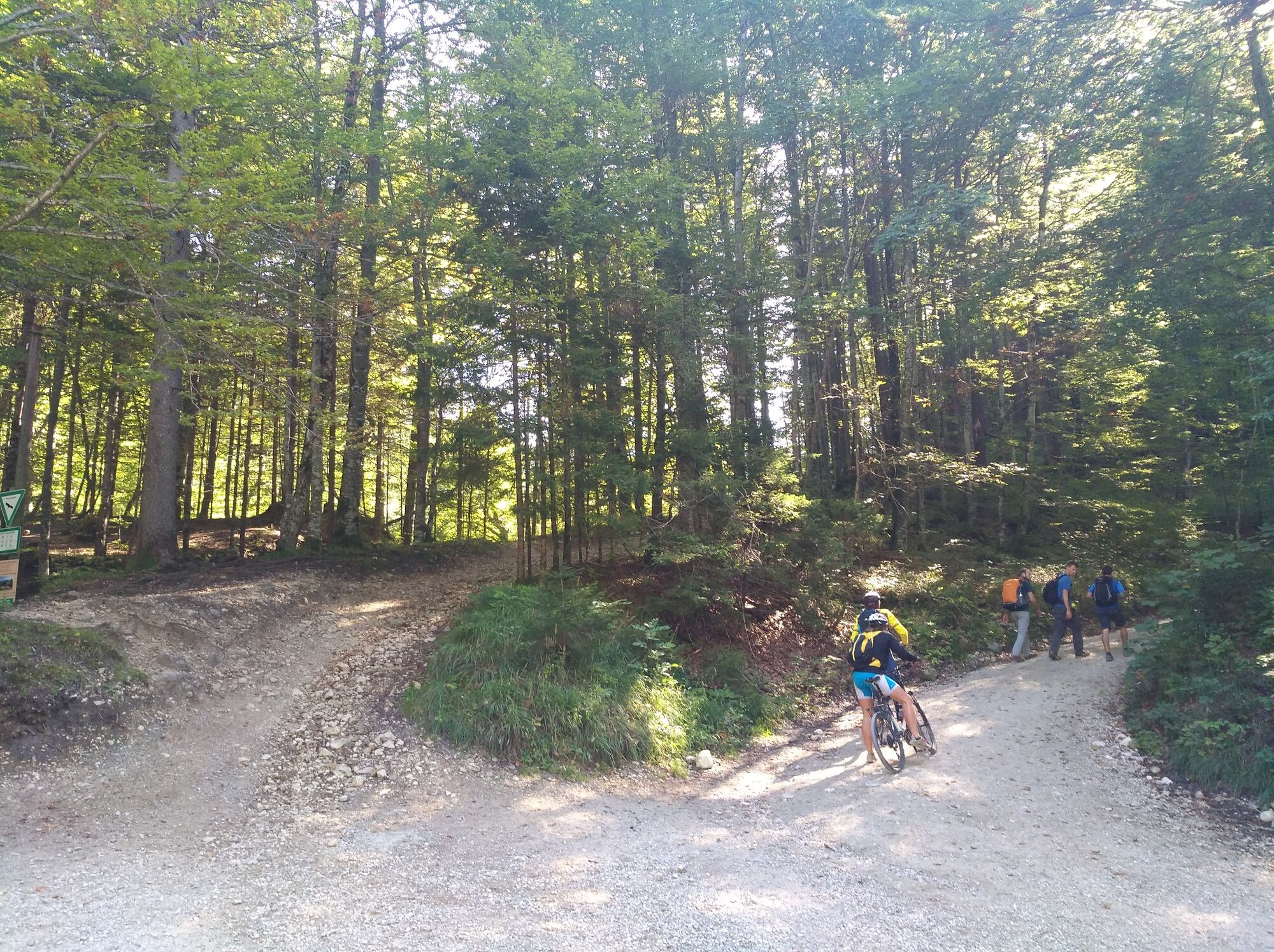
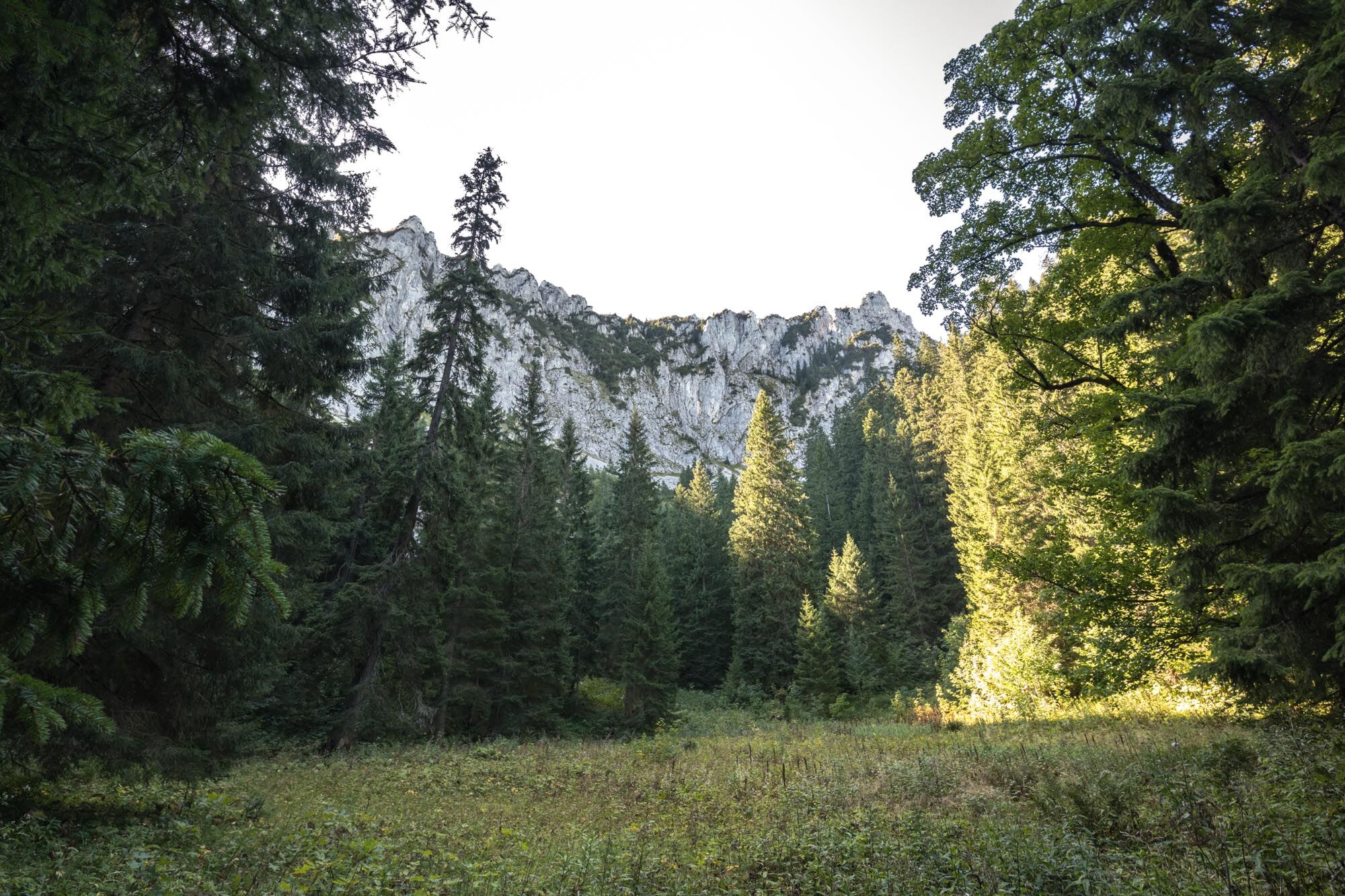
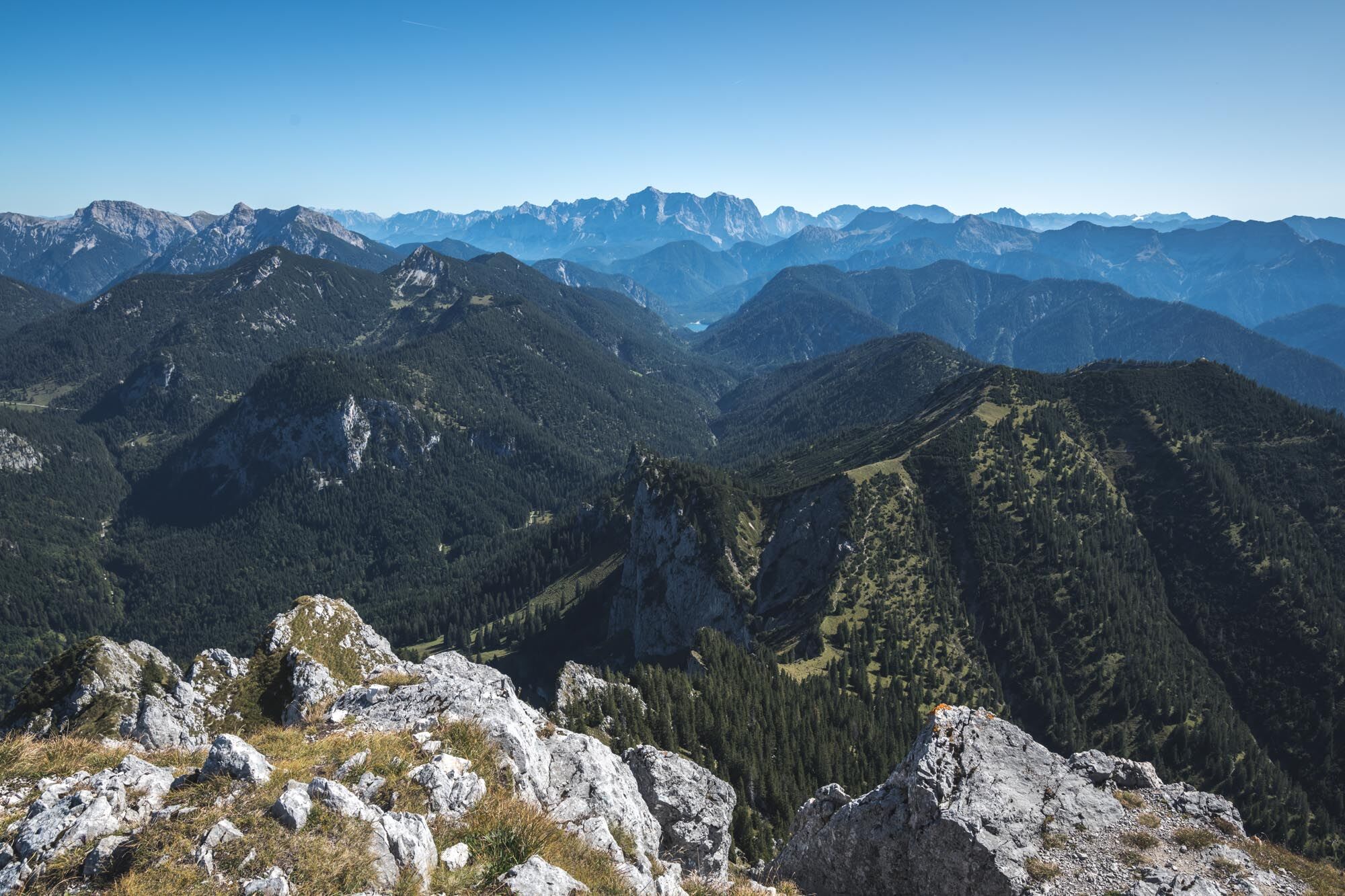
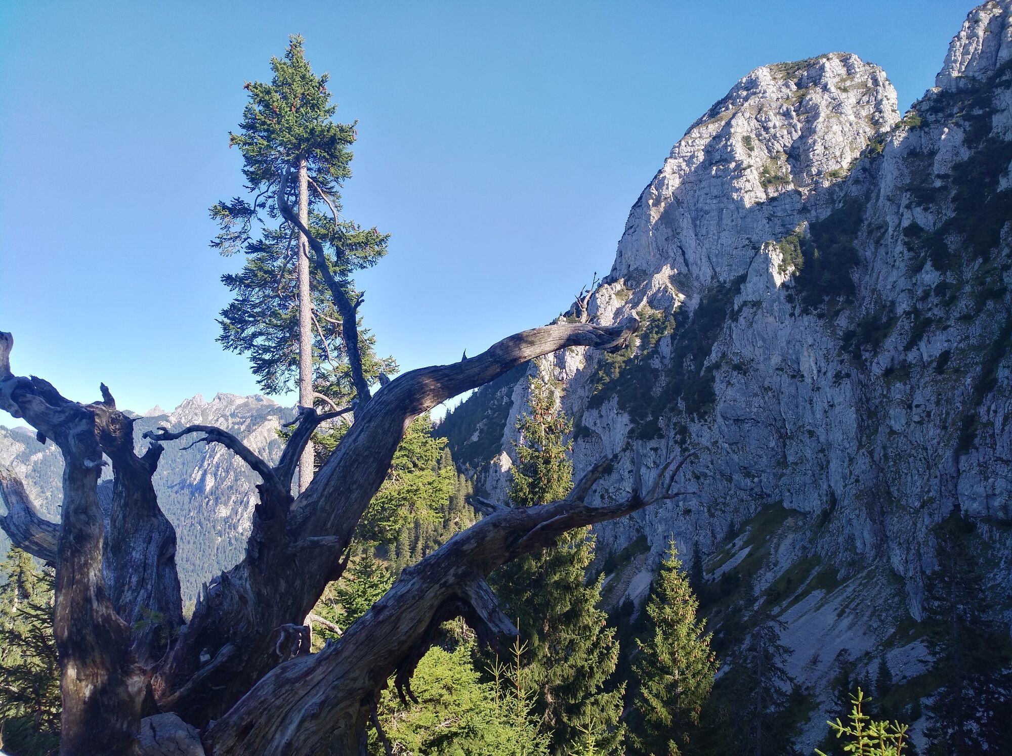
Füssen's local mountain is one of the most challenging mountain tours in Füssen and the surrounding area.
- Difficulty
-
difficult
- Rating
-
- Starting point
-
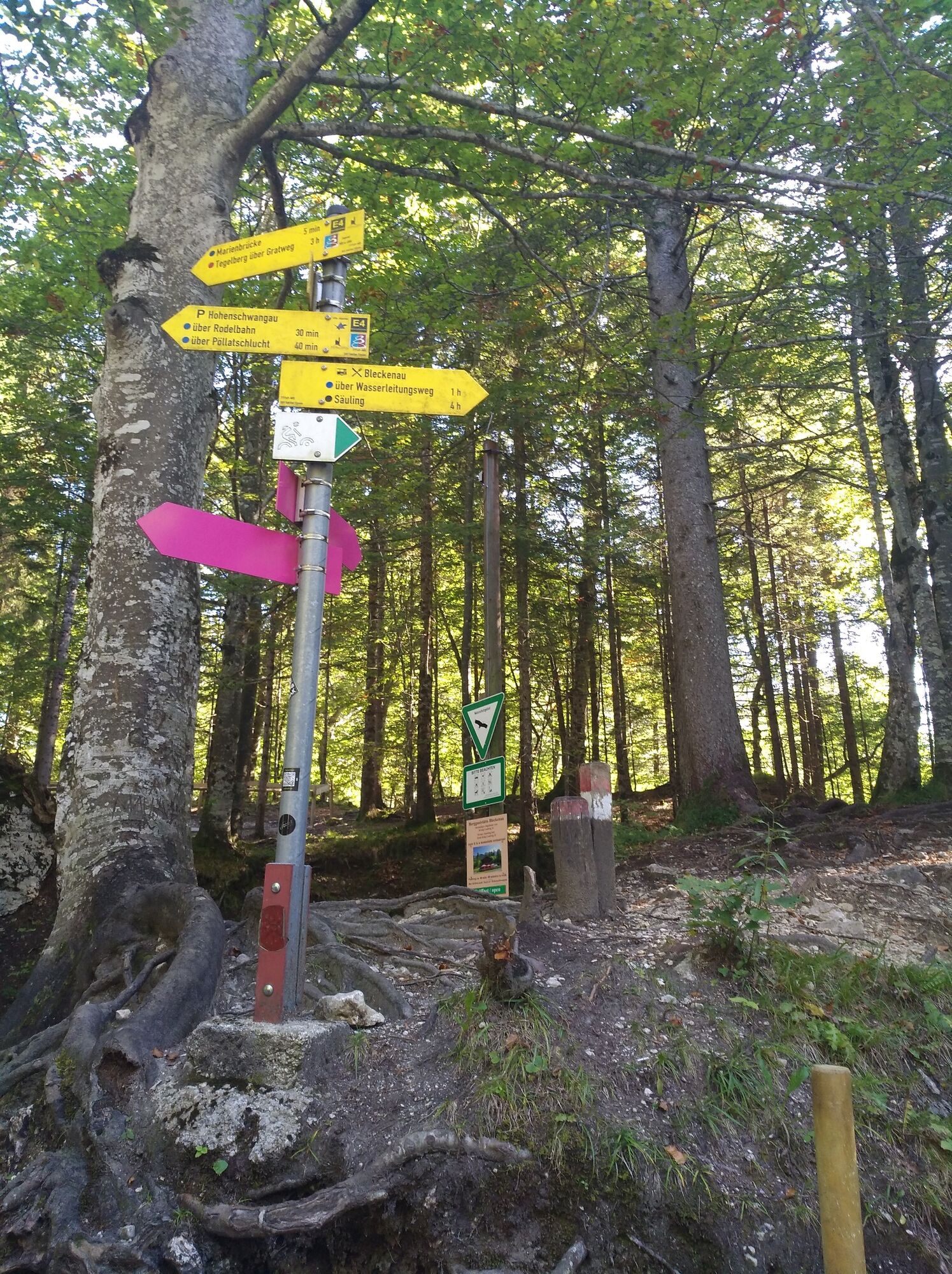
Hohenschwangau
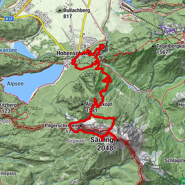
- Route
-
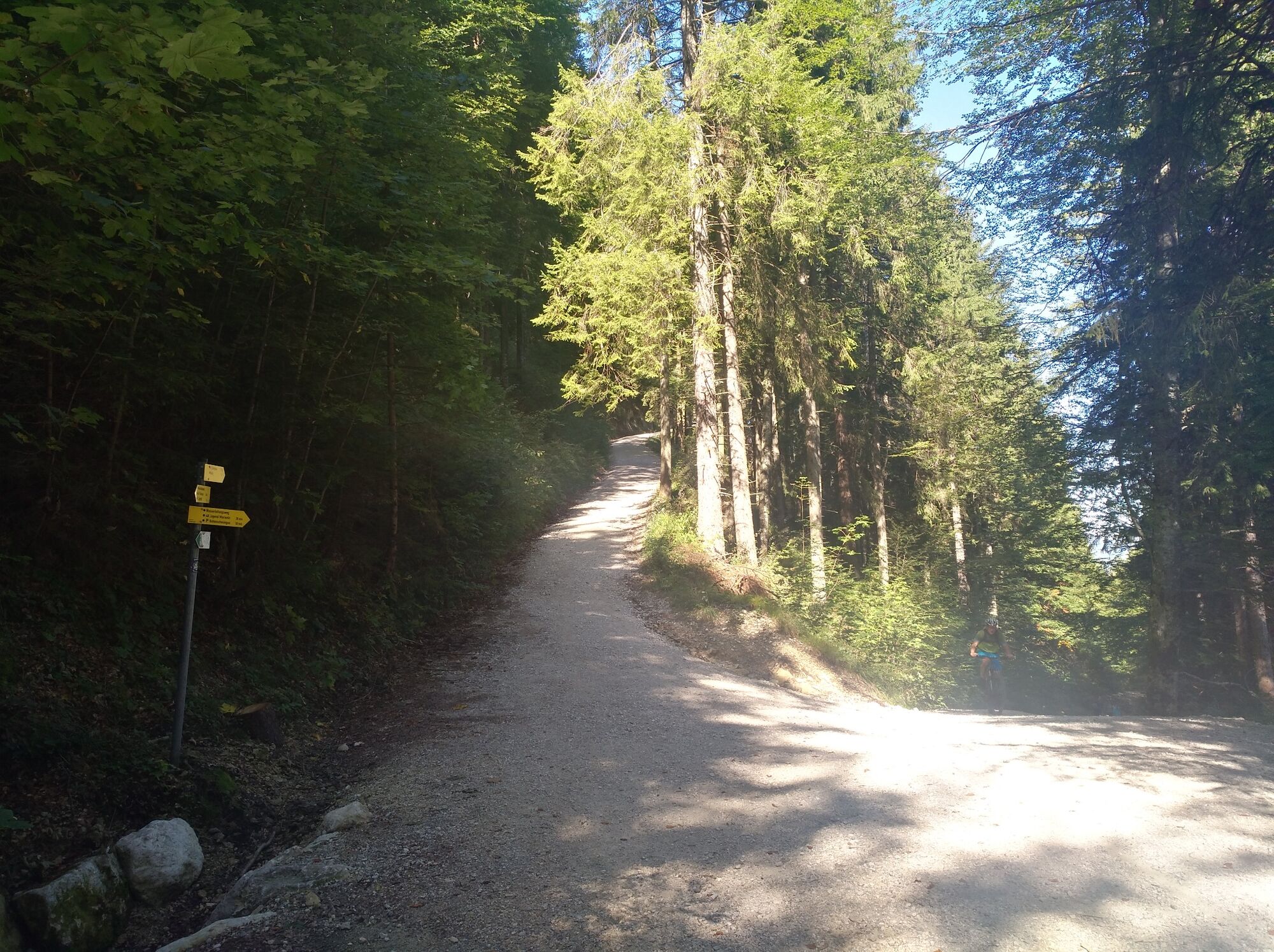
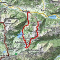
Hohenschwangau0.0 kmWasserfall unterm Schloss1.2 kmPöllatfall1.5 kmÄlpele (1,296 m)3.9 kmSäuling (2,048 m)6.7 kmGamswiese6.9 kmNaturfreundehaus Säulinghaus7.6 kmÄlpele (1,296 m)10.6 kmPöllatfall12.9 kmPanoramablick Schwangau13.0 kmSchlossrestaurant Neuschwanstein13.7 kmWasserfall unterm Schloss14.1 kmHohenschwangau14.7 km
- Best season
-
JanFebMarAprMayJunJulAugSepOctNovDec
- Description
-
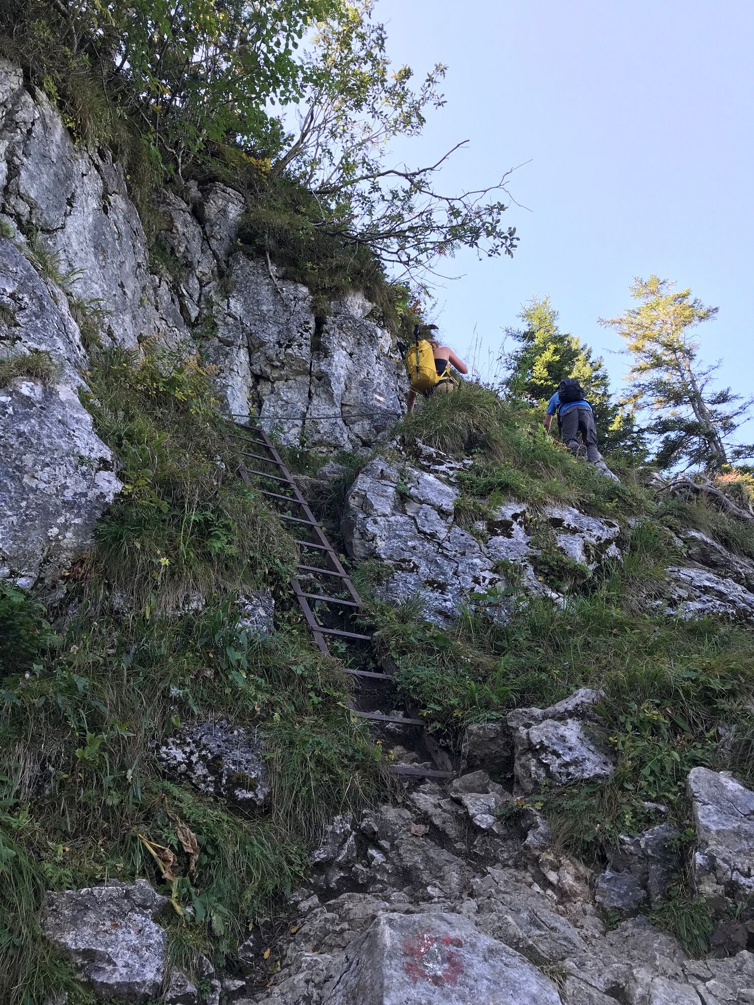
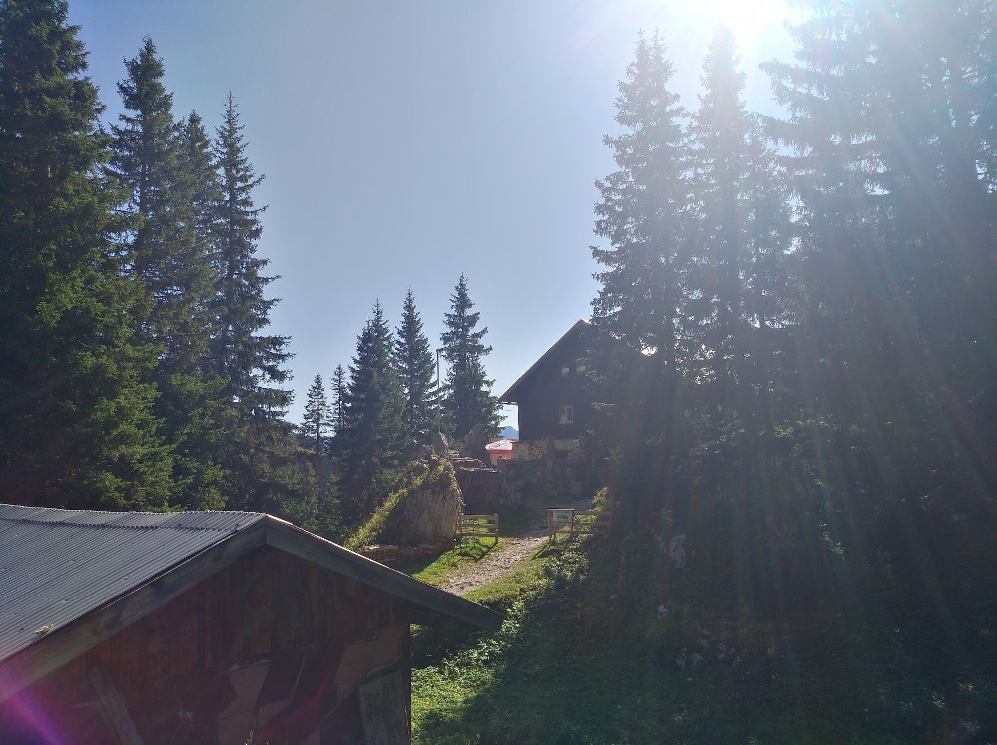
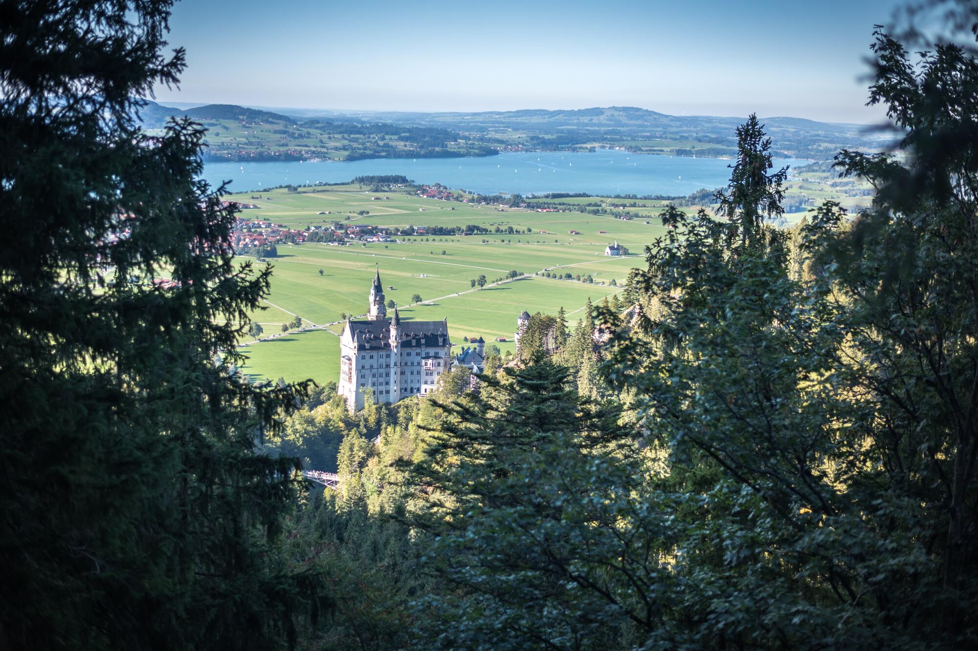
The crown prince and princess Maximilian and Marie dined on the Säuling meadow, later Queen Marie climbed the Säuling with her sons Ludwig and Otto. The tour above Neuschwanstein Castle requires surefootedness and a head for heights, especially on the partially rope-secured descent between the summit and Säulinghaus hut. Around the Pilgerschrofen you reach the valley Pöllattal again and can enjoy the view of Neuschwanstein Castle on the Marys bridge.
- Highest point
- 2,018 m
- Endpoint
-
Hohenschwangau
- Height profile
-
 © outdooractive.com
 - Equipment
-
A hiking boot with good tread that goes over the ankle gives the best support. Hiking poles provide additional safety and support.
- Safety instructions
-
Surefootedness, a head for heights and very good physical condition are prerequisites for this demanding mountain tour.
- Tips
-
Those who dare to climb the mountain Säuling for the first time should rather ascend and descend from Pflach in Austria.


- Author
-
The tour Säuling (2047 m) is used by outdooractive.com provided.


General info
-
Naturparkregion Reutte
1432
-
Hohenschwangau
527


 bzw. Vilsalpsee")


