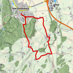
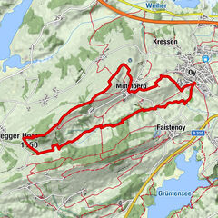
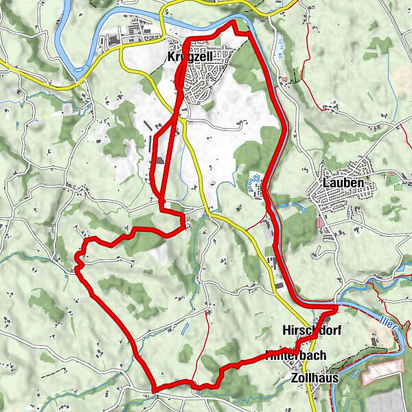
Wanderweg Krugzell Illerweg

Logo Wanderweg Krugzell Illerweg
Tour data
16.73km
644 - 733m
Distance
84hm
81hm
Ascent
04:30h
 
Duration
Route
Krugzell
Schlatt
4.0 km
Hirschdorf
5.1 km
Hinterbach
5.9 km
Zollhaus
5.9 km
Kempten (Algovia) (674 m)
5.9 km
Reisachmühle
7.5 km
Kollerbach
8.0 km
Leinschwenden
8.6 km
Hiltensberg
10.3 km
Burg
11.9 km
Krugzell
14.4 km
Zum Hirsch
14.5 km

Highest point
733 m
Height profile
© outdooractive.com

Author
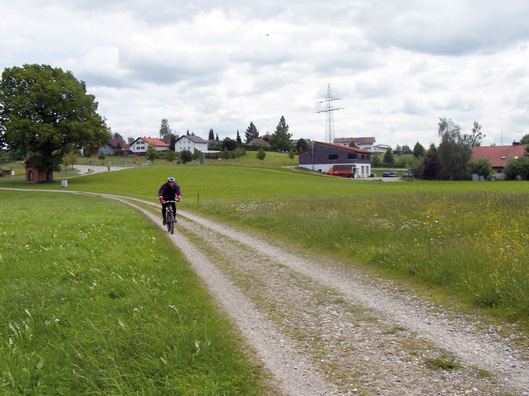
The tour Wanderweg Krugzell Illerweg is used by outdooractive.com provided.

1,0
Overall rating

5

0

%

4

0

%

3

0

%

2

0

%

1

100

%

GPS Downloads
  • GPX GPS Exchange Format (XML)
  • KML Google Earth, Google Maps
QR Download Codes for Mobile Phones
Other tours in the regions

Popular tours in the area

Rohrbachtobel

Hiking
7.69km | 74hm | 02:40h

Panoramarunde

medium Hiking
10.25km | 103hm | 02:40h

Panoramatour Oy-Mittelberg

medium Hiking
11.73km | 262hm | 03:30h

Eistobel Grünenbach

easy Hiking
6.16km | 129hm | 01:54h