© Naturpark Nagelfluhkette e.V. - Naturpark Nagelfluhkette


- Brief description
-
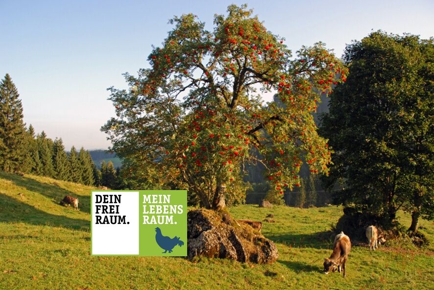
Dein Freiraum - Mein Lebensraum. Verantwortungsvoll in der Natur unterwegs. Empfohlene Tour!
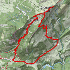
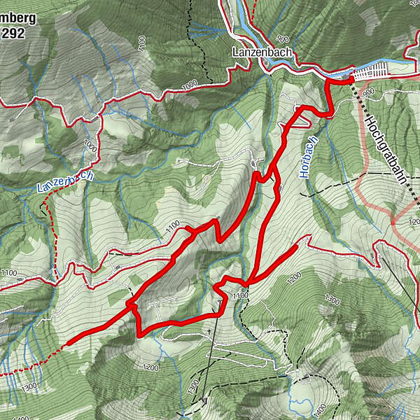
Hochgratbahn Talstation - Untere Lauch-Alpe - Schilpere-Alpe - Berggasthof Oberstiegalpe - Untere Stieg-Alpe - Hochgratbahn Talstation
- Difficulty
-
medium
- Rating
-
- Route
-
Unterlauchalpe1.0 kmSchilpere Alpe2.9 kmBerggasthof Oberstiegalpe4.6 km
- Best season
-
JanFebMarAprMayJunJulAugSepOctNovDec
- Highest point
- 1,228 m
- Endpoint
-
Hochgratbahn Talstation
- Height profile
-
 © outdooractive.com
- Author
-
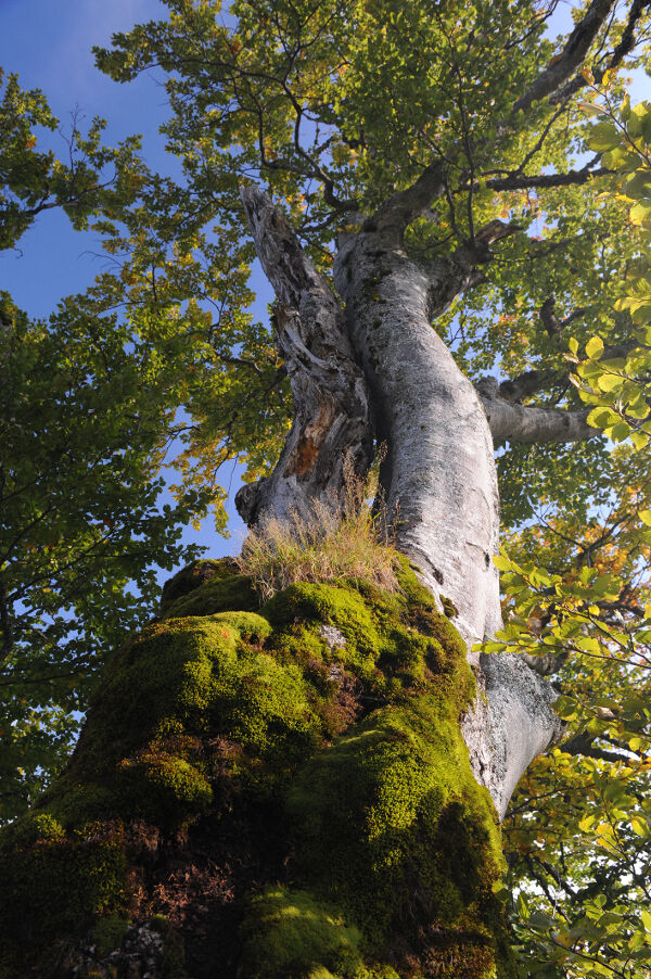
The tour Auf den Spuren alter Bäume - Die Baumveteranen von Steibis is used by outdooractive.com provided.
GPS Downloads


General info
Refreshment stop
Flora
A lot of view
Other tours in the regions
-
Allgäu
2357
-
Bregenzerwald
2296
-
Steibis
651