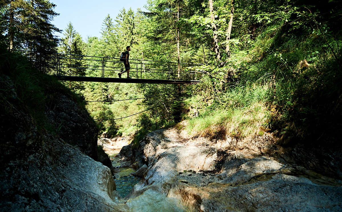
© Tourenportal Berchtesgadener Land - Bergerlebnis Berchtesgaden
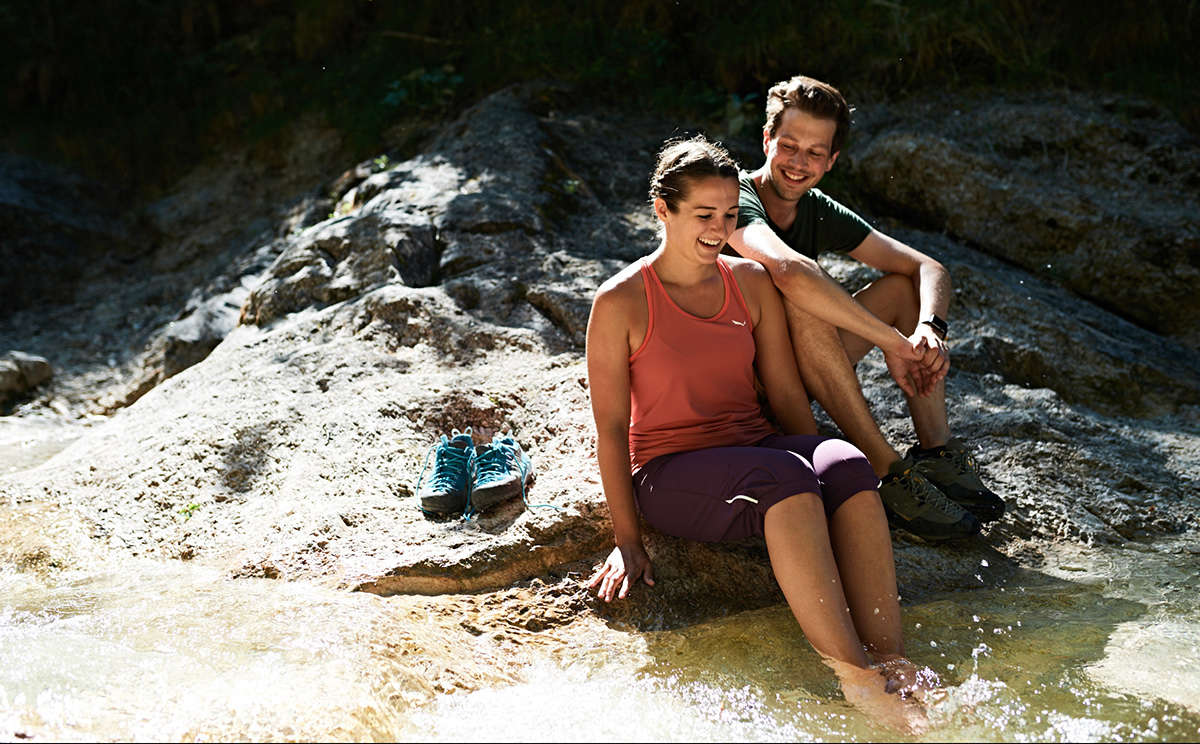
© Tourenportal Berchtesgadener Land - Bergerlebnis Berchtesgaden

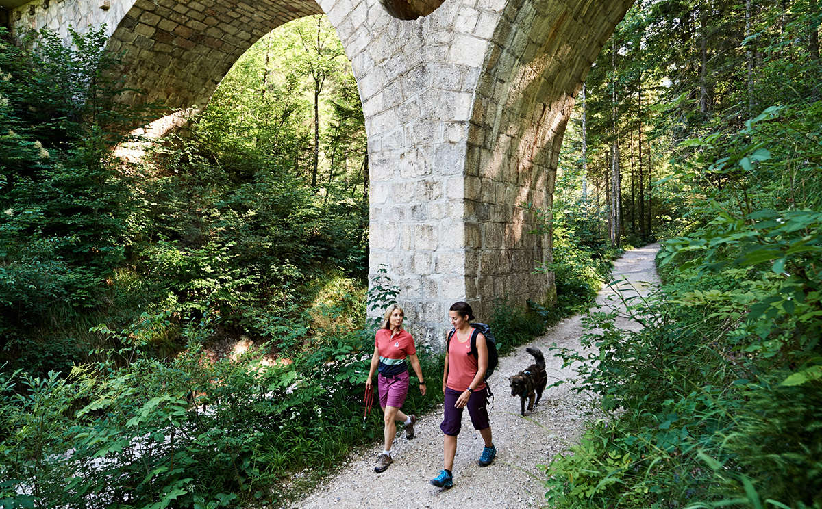
© Tourenportal Berchtesgadener Land - Bergerlebnis Berchtesgaden

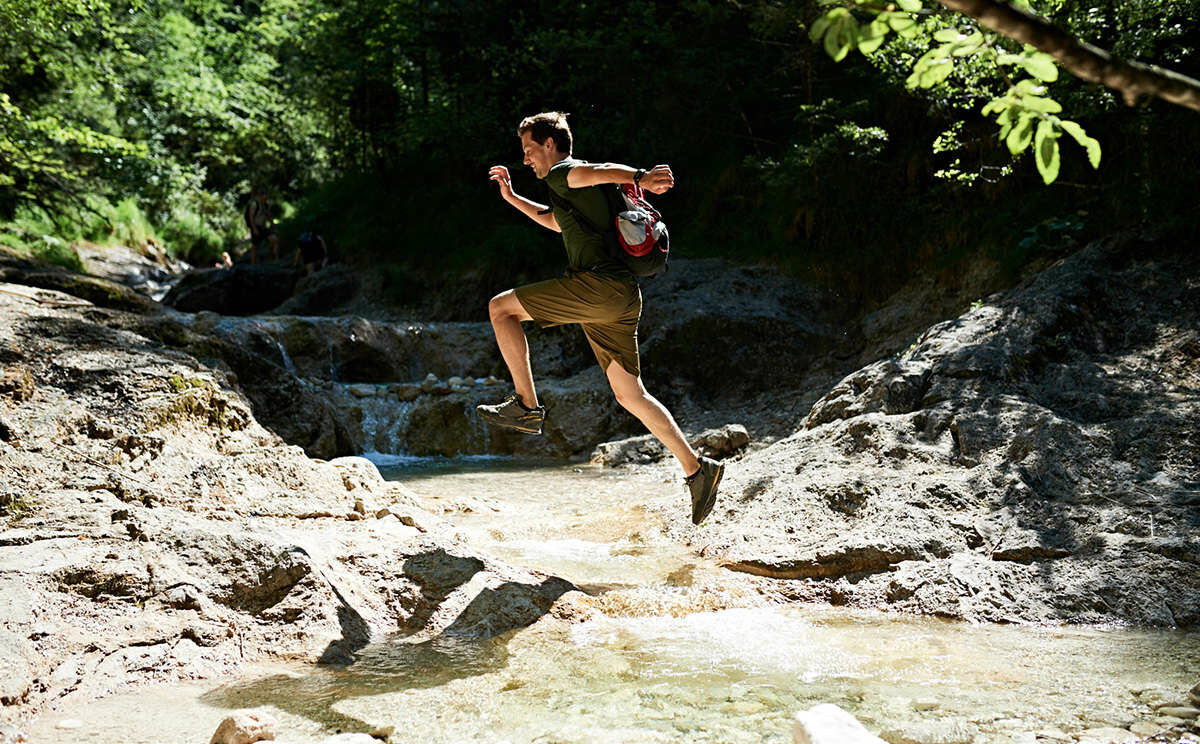
© Tourenportal Berchtesgadener Land - Bergerlebnis Berchtesgaden
© Tourenportal Berchtesgadener Land - Bergerlebnis Berchtesgaden
Tour data
2.88km
564
- 618m
49hm
50hm
01:45h

- Brief description
- Difficulty
-
easy
- Rating
-
- Route
-
Bad Reichenhall (473 m)Bayerisch Gmain
- Best season
-
JanFebMarAprMayJunJulAugSepOctNovDec
- Highest point
- 618 m
- Endpoint
-
Bayerisch Gmain, Wanderzentrum Bergkurgarten
- Height profile
-
 © outdooractive.com

- Author
-
The tour Wald-Idyll-Pfad (Maisweg) is used by outdooractive.com provided.
GPS Downloads


General info
Refreshment stop
Cultural/Historical
Insider tip
Flora
Fauna
A lot of view
Other tours in the regions
-
Berchtesgadener Land
1580
-
Bayerisch Gmain
554