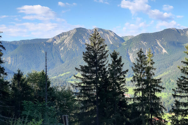
© Alpenregion Tegernsee Schliersee - Dietmar Denger

© Alpenregion Tegernsee Schliersee - Dietmar Denger

© Alpenregion Tegernsee Schliersee - Dietmar Denger

© Alpenregion Tegernsee Schliersee - Dietmar Denger

© Alpenregion Tegernsee Schliersee - Dietmar Denger

- Difficulty
-
easy
- Rating
-
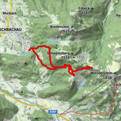
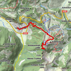
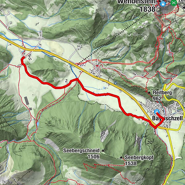
- Route
-
BayrischzellBayrischzell0.2 kmKlarer3.8 kmGeitau5.4 kmGasthaus-Pension Aiplspitz5.4 kmPostgasthof Rote Wand5.6 km
- Best season
-
JanFebMarAprMayJunJulAugSepOctNovDec
- Highest point
- 800 m
- Height profile
-
 © outdooractive.com
- Author
-
The tour Wendelstein-Ringlinie: Leitzachtalwanderung is used by outdooractive.com provided.
GPS Downloads


Other tours in the regions
-
Chiemsee - Alpenland
1212
-
Wendelstein
503