Der Klobunzeleweg / Terra Nostra in Marktoberdorf - Allgäuer Picknickplätze

Hiking


- Brief description
-
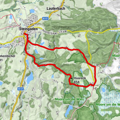
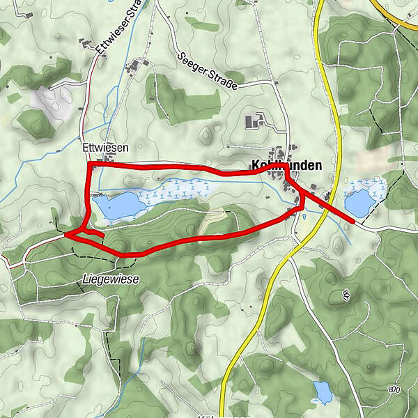
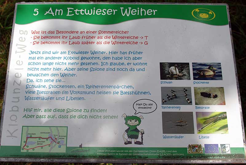
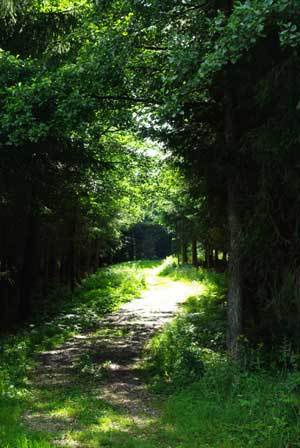
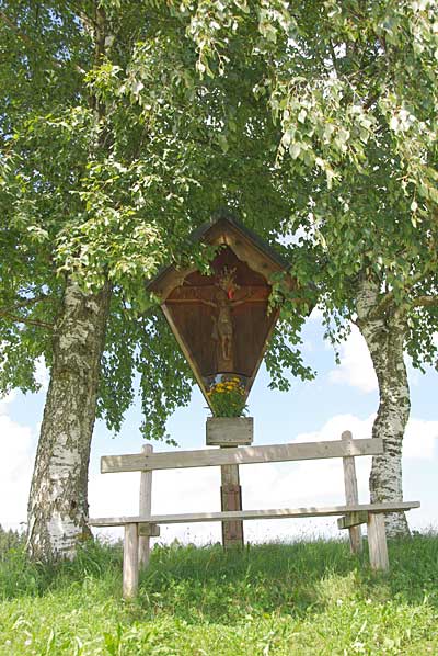
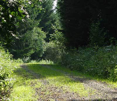
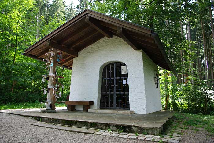
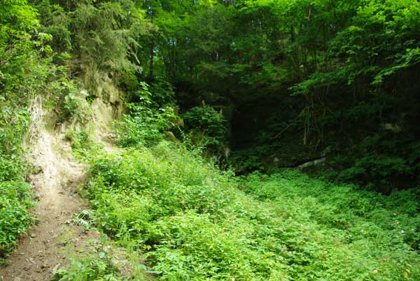
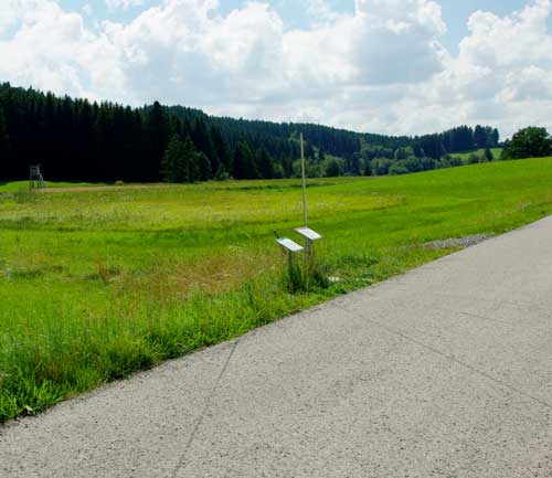
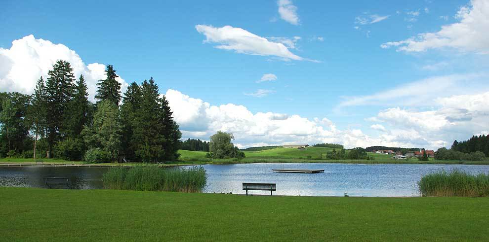
Wanderweg rund um den Ettwiesen Weiher mit Informationstafeln.
- Rating
-
- Route
-
Kohlhunden0.5 kmEttwiesen1.5 km
- Highest point
- 786 m
- Endpoint
-
Parkplatz Kuhstallweiher
- Height profile
-
 © outdooractive.com
- Author
-
The tour Der Klobunzeleweg / Terra Nostra in Marktoberdorf - Allgäuer Picknickplätze is used by outdooractive.com provided.
GPS Downloads


General info
Cultural/Historical
Insider tip
Other tours in the regions
-
Allgäu
2367
-
Ostallgäu
1228
-
Marktoberdorf
71