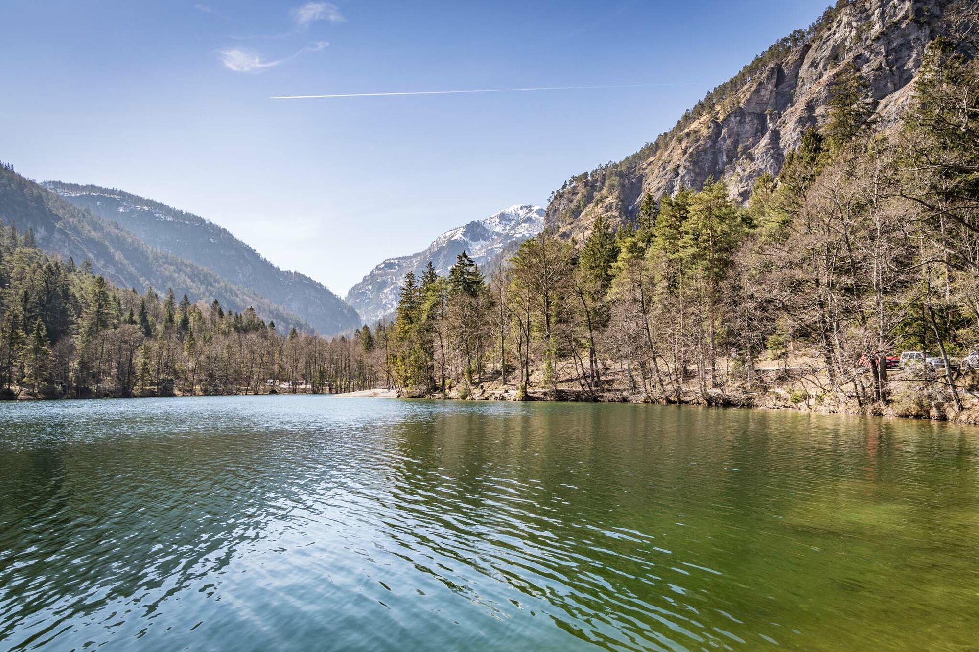
© Tourenportal Berchtesgadener Land - Sophie Oder

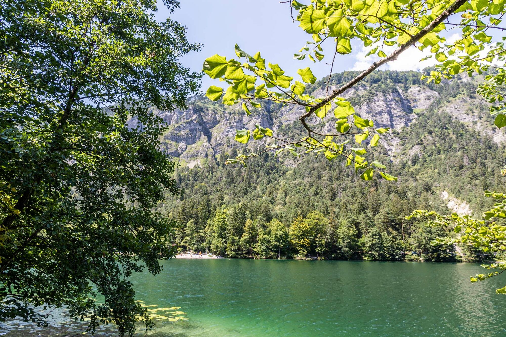
© Tourenportal Berchtesgadener Land - Sophie Oder

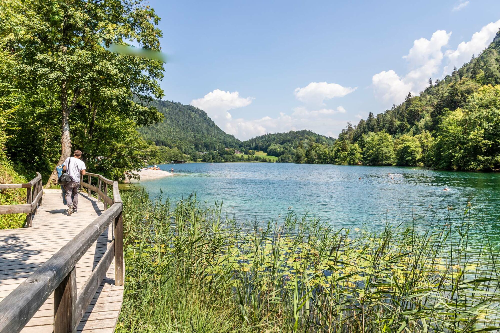
© Tourenportal Berchtesgadener Land - Sophie Oder

© Tourenportal Berchtesgadener Land - Sophie Oder

© Tourenportal Berchtesgadener Land - Sophie Oder

© Tourenportal Berchtesgadener Land - Sophie Oder

© Tourenportal Berchtesgadener Land - Thomas Kujat

© Tourenportal Berchtesgadener Land - Sophie Oder

© Tourenportal Berchtesgadener Land - Sophie Oder

© Tourenportal Berchtesgadener Land - Sophie Oder
Tour data
9.46km
468
- 642m
207hm
207hm
02:30h
- Brief description
- Difficulty
-
medium
- Rating
-
- Route
-
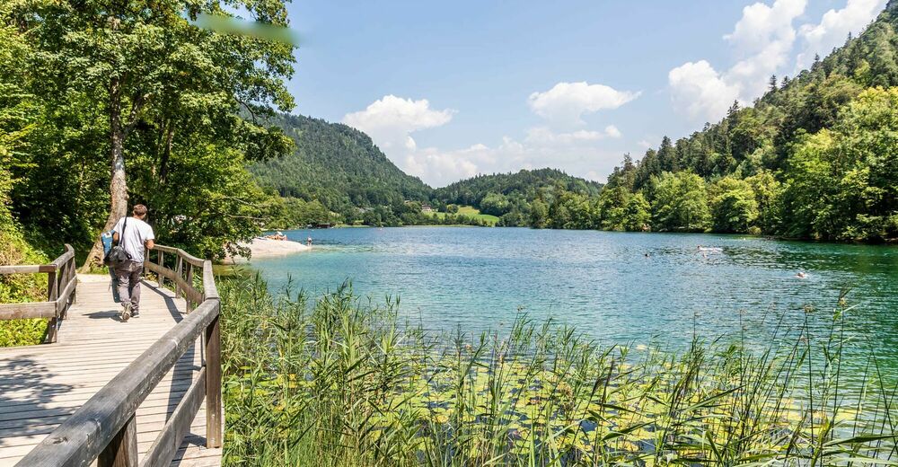
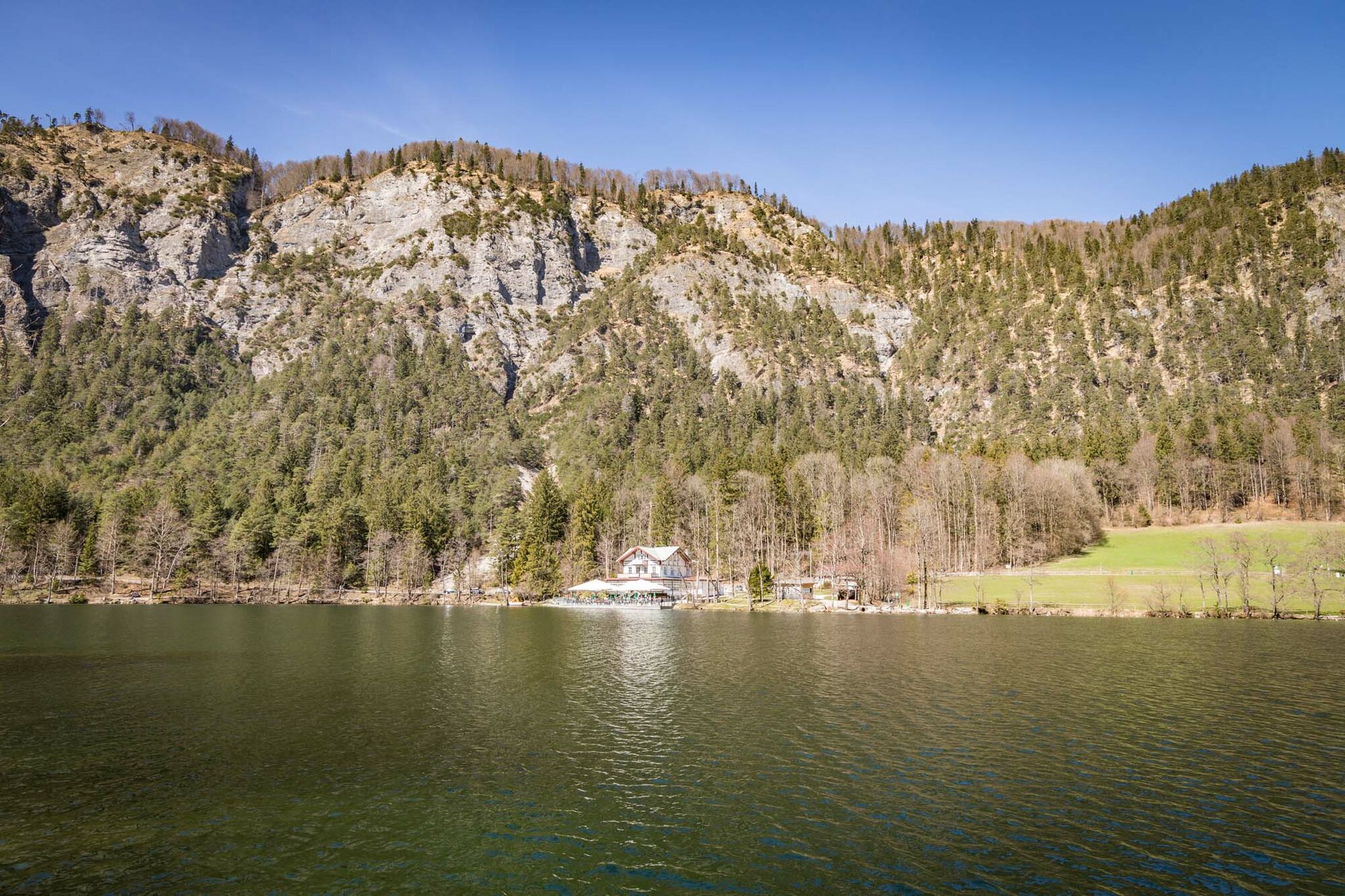
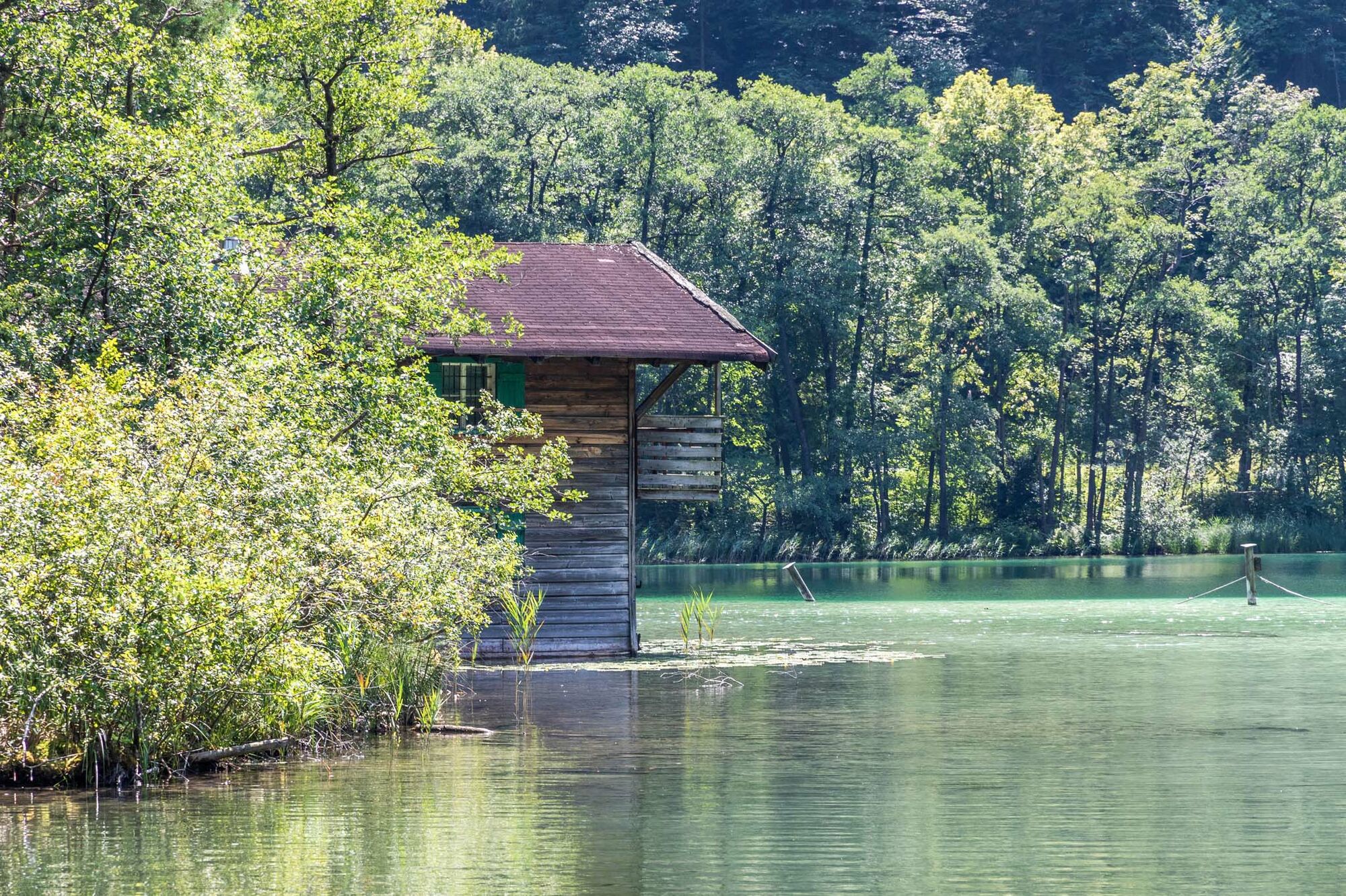
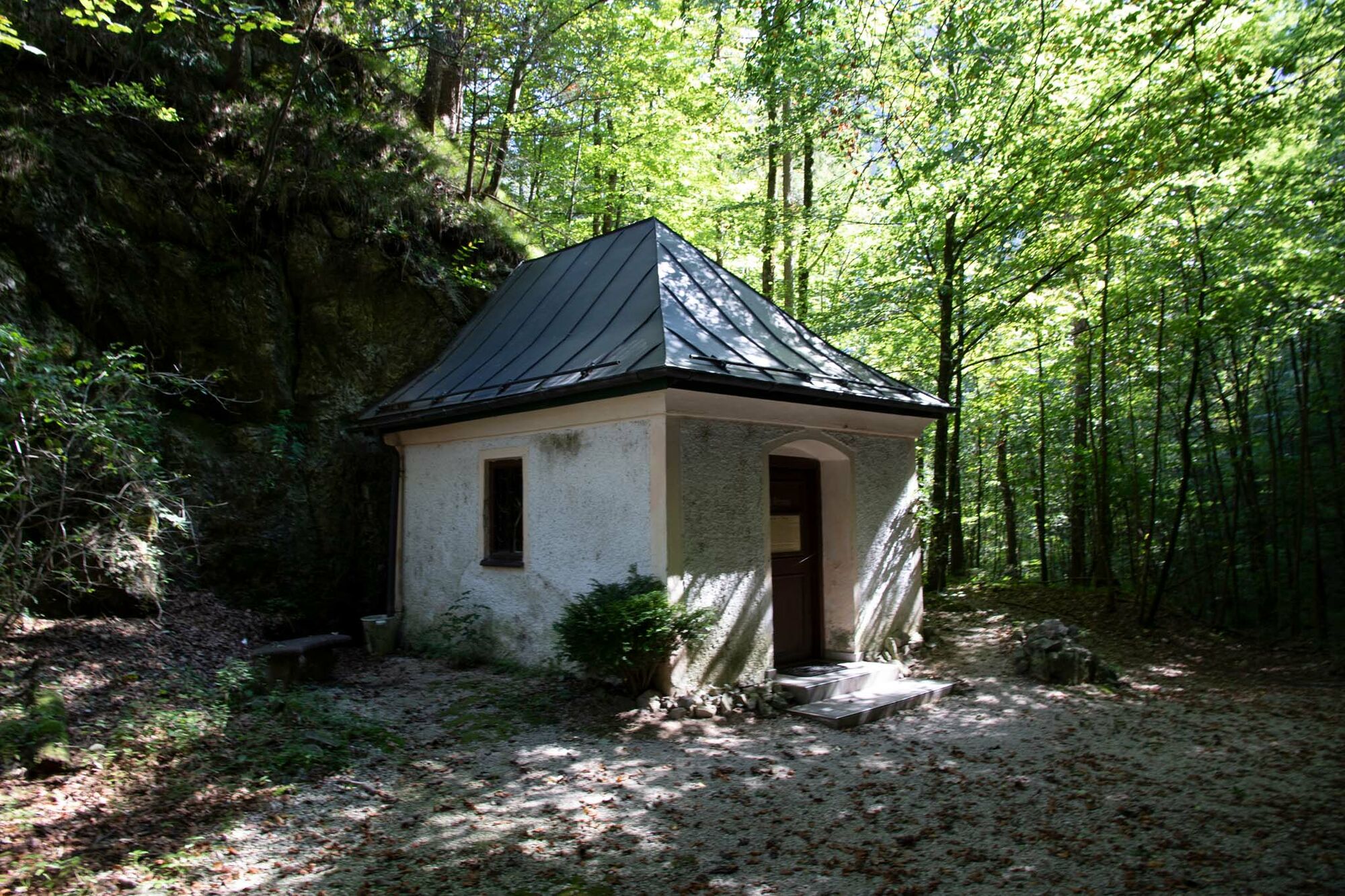
Denkmal Amalienhöhe0.5 kmBad Reichenhall (473 m)0.6 kmAntonibergkapelle5.0 kmAlpengasthof Madlbauer7.1 kmSeebachkapelle9.0 kmBad Reichenhall (473 m)9.3 km
- Best season
-
JanFebMarAprMayJunJulAugSepOctNovDec
- Highest point
- 642 m
- Height profile
-
 © outdooractive.com


- Author
-
The tour Gesundheitsweg Thumsee is used by outdooractive.com provided.
GPS Downloads


General info
Refreshment stop
Cultural/Historical
A lot of view
Other tours in the regions
-
Berchtesgadener Land
1579
-
Schneizlreuth
529