© Tourenportal Berchtesgadener Land - Bergerlebnis Berchtesgaden
Tour data
9.22km
565
- 1,151m
696hm
709hm
02:17h
- Brief description
-
9,5 km, 820 Höhenmeter, Ausgangspunkt: Wanderzentrum Bayerisch Gmain
- Difficulty
-
difficult
- Rating
-
- Route
-
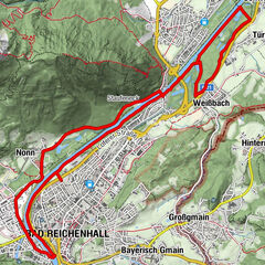
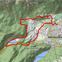
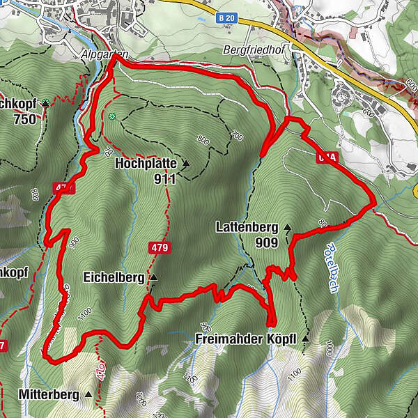
Bayerisch GmainBad Reichenhall (473 m)0.0 kmBad Reichenhall (473 m)9.2 kmBayerisch Gmain9.2 km
- Best season
-
JanFebMarAprMayJunJulAugSepOctNovDec
- Highest point
- 1,151 m
- Endpoint
-
Wanderzentrum Bayerisch Gmain
- Height profile
-
 © outdooractive.com

-

-
AuthorThe tour Lattengebirgs-Querung is used by outdooractive.com provided.
GPS Downloads


General info
A lot of view
Other tours in the regions