© Tourenportal Berchtesgadener Land - Bergerlebnis Berchtesgaden

© Tourenportal Berchtesgadener Land - Bergerlebnis Berchtesgaden

© Tourenportal Berchtesgadener Land - Bergerlebnis Berchtesgaden

© Tourenportal Berchtesgadener Land - Bergerlebnis Berchtesgaden

© Tourenportal Berchtesgadener Land - Bergerlebnis Berchtesgaden

© Tourenportal Berchtesgadener Land - Bergerlebnis Berchtesgaden

© Tourenportal Berchtesgadener Land

© Tourenportal Berchtesgadener Land - Bergerlebnis Berchtesgaden

© Tourenportal Berchtesgadener Land - Bergerlebnis Berchtesgaden

© Tourenportal Berchtesgadener Land
Tour data
6.16km
463
- 506m
32hm
36hm
01:30h
- Brief description
-
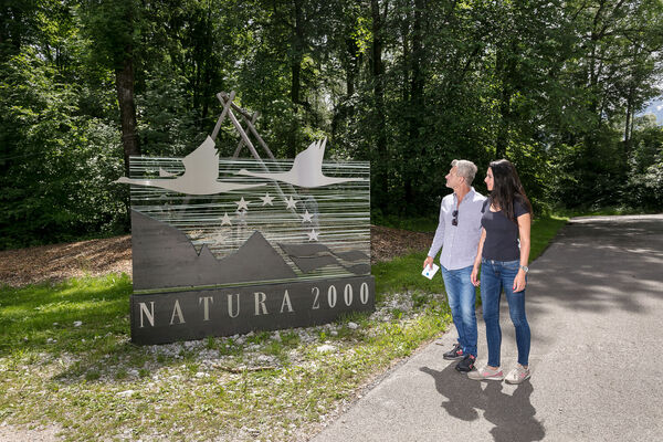
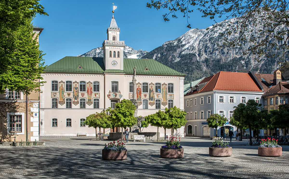
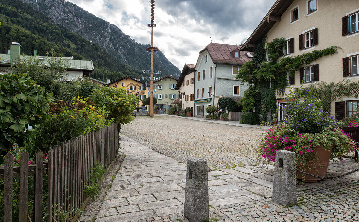
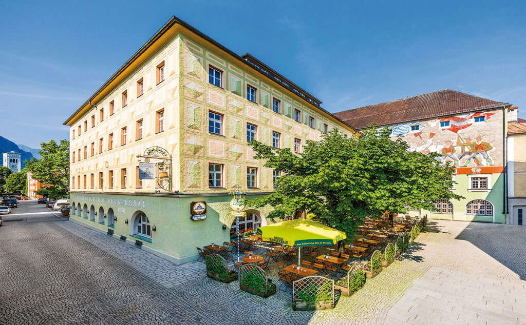
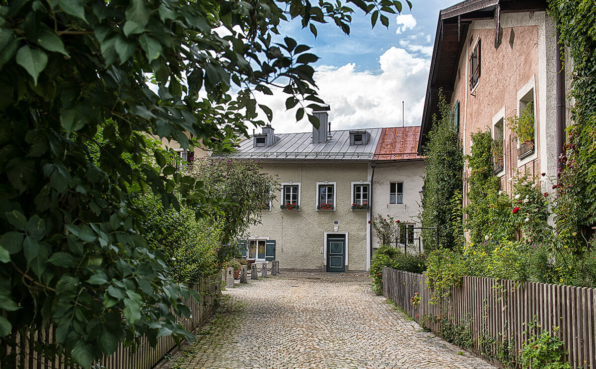
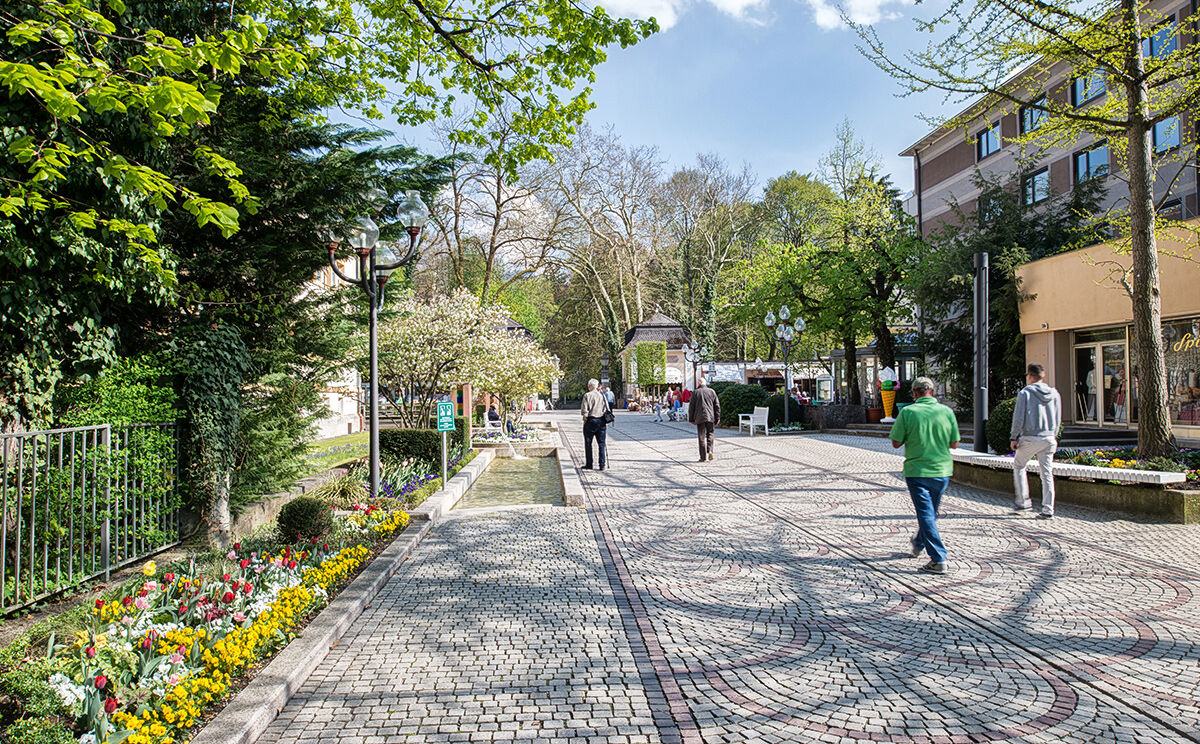
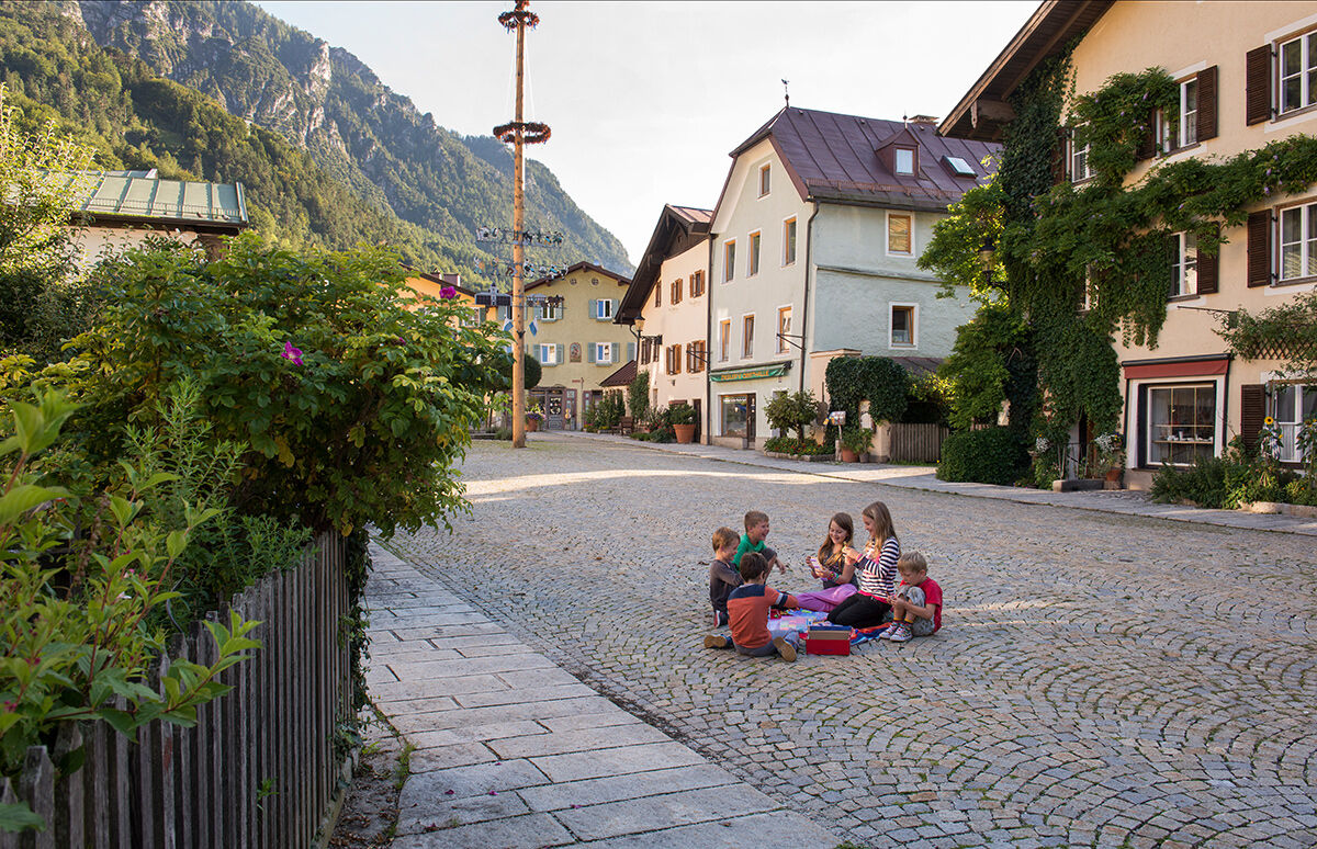
Historischer Rundgang durch den Stadtkern von Bad Reichenhall mit Besichtigungsmöglichkeit bedeutender Sehenswürdigkeiten.
- Difficulty
-
easy
- Rating
-
- Route
-
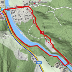
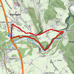
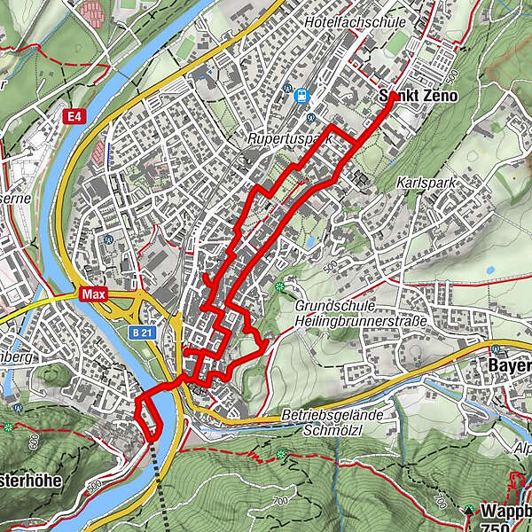
Bad Reichenhall (473 m)0.1 kmSt. Nikolaus0.6 kmFreie Christengemeinde Bad Reichenhall0.7 kmSankt Zeno3.9 kmEvangelische Stadtkirche5.1 kmSpitalkirche St. Johannes5.5 kmSt. Ägidius5.9 km
- Best season
-
JanFebMarAprMayJunJulAugSepOctNovDec
- Highest point
- 506 m
- Endpoint
-
Floriani Platz, Bad Reichenhall
- Height profile
-
 © outdooractive.com


- Author
-
The tour Historischer Stadtrundgang Bad Reichenhall is used by outdooractive.com provided.
GPS Downloads


General info
Refreshment stop
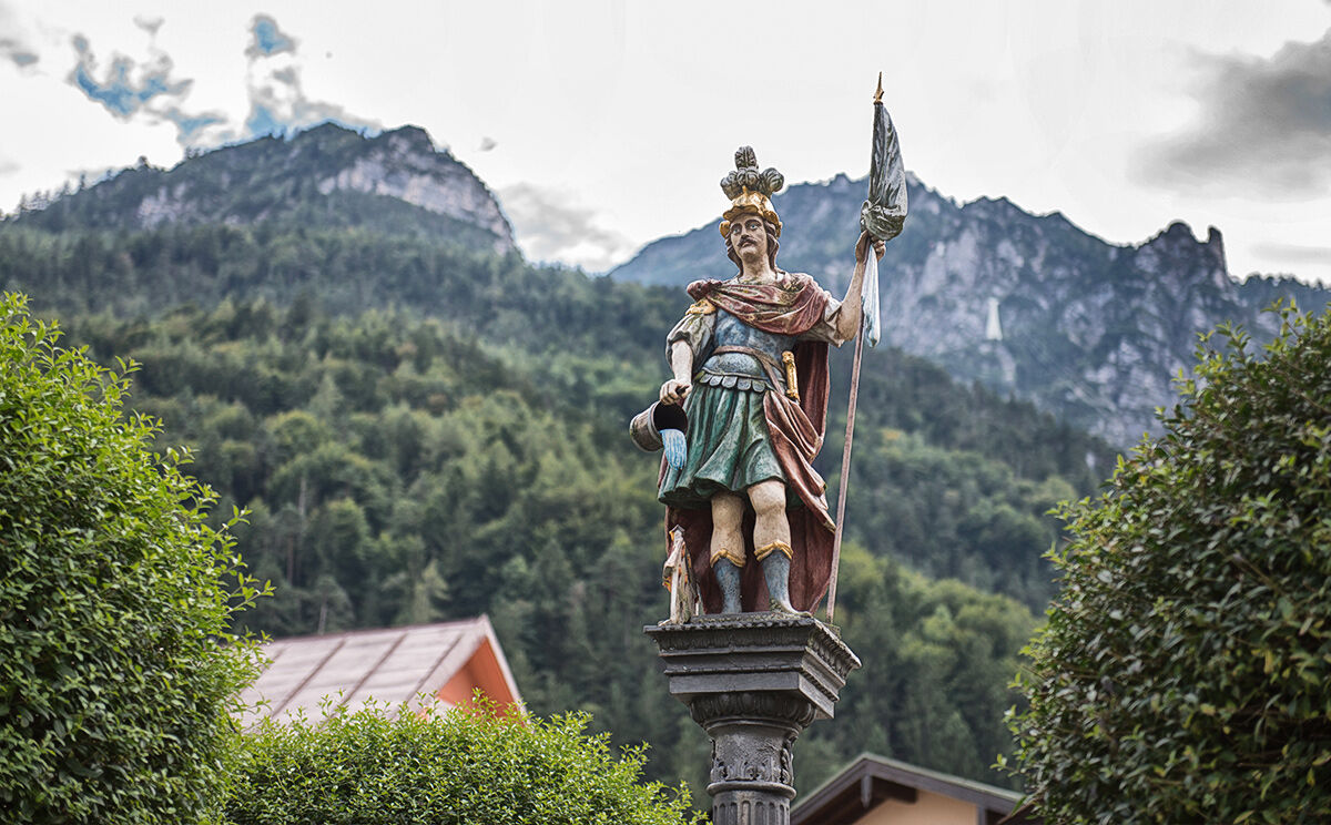
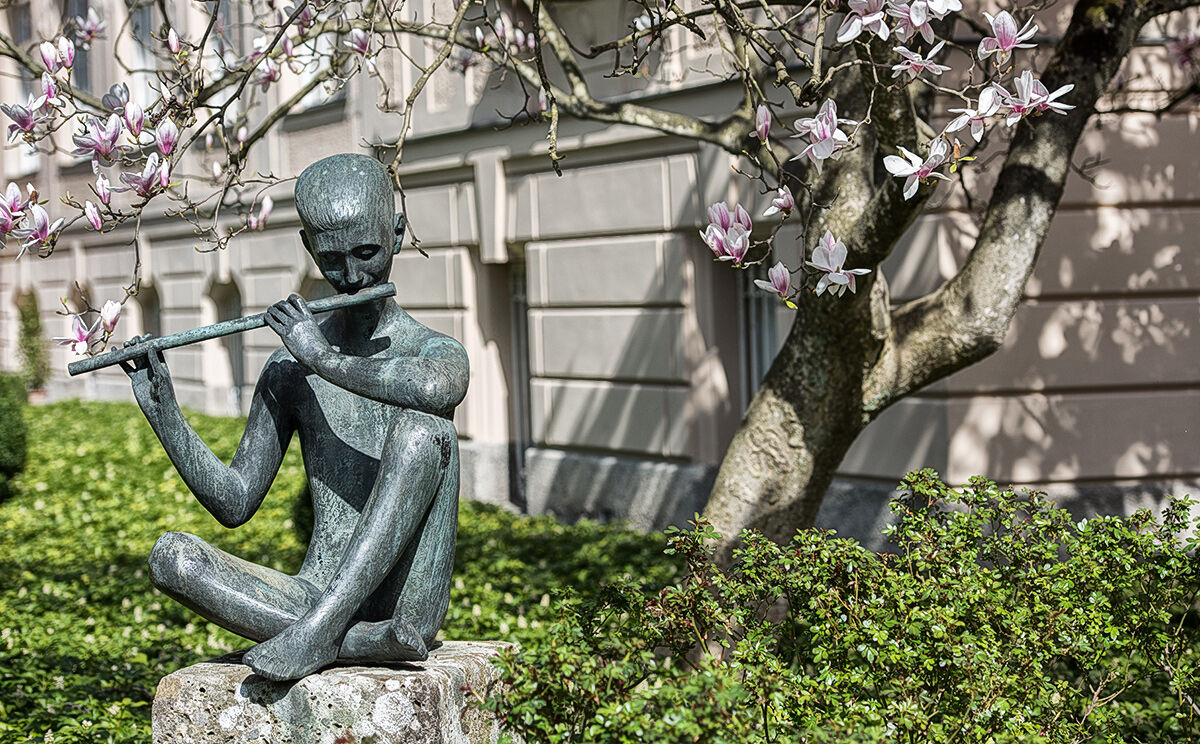
Cultural/Historical
Other tours in the regions
-
Berchtesgadener Land
1580
-
Bad Reichenhall
540