© Tourenportal Berchtesgadener Land - Bergerlebnis Berchtesgaden

© Tourenportal Berchtesgadener Land - Bergerlebnis Berchtesgaden

© Tourenportal Berchtesgadener Land - Bergerlebnis Berchtesgaden

© Tourenportal Berchtesgadener Land - Bergerlebnis Berchtesgaden
Tour data
33.51km
654
- 2,215m
2,156hm
2,178hm
10:00h
- Brief description
-
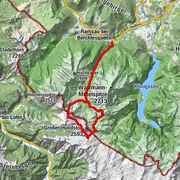
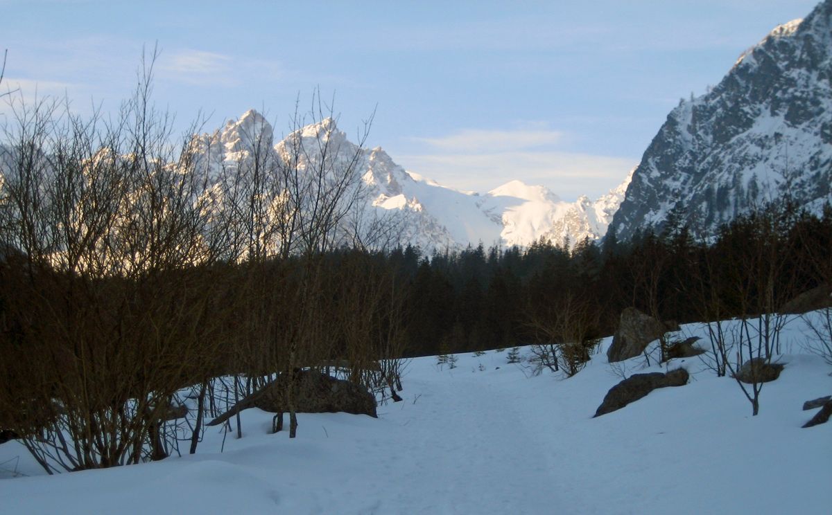
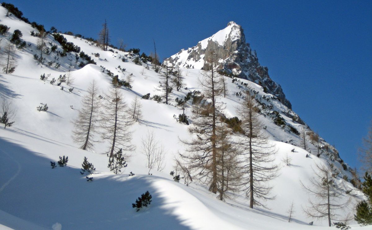
Sehr lange und anspruchsvolle Skitour rund um den Großen Hundstod
- Difficulty
-
difficult
- Rating
-
- Route
-
WimbachbrückeWimbachschloss4.4 kmTrischübel11.8 kmHundstodgrube12.7 kmDießbachscharte16.4 kmHochwies18.7 kmWimbachschloss29.0 kmWimbachbrücke33.5 km
- Best season
-
AugSepOctNovDecJanFebMarAprMayJunJul
- Highest point
- 2,215 m
- Endpoint
-
Ramsau Wimbachbrücke
- Exposition
- Height profile
-
 © outdooractive.com


- Author
-
The tour Hundstodreibn von Ramsau is used by outdooractive.com provided.
GPS Downloads


General info
A lot of view
Other tours in the regions