- Brief description
-
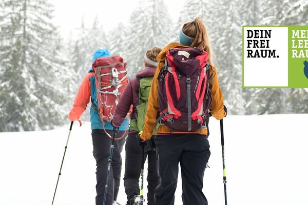
Tour abseits jeglichen Trubels. Nur für konditionsstarke Schneeschuhwanderer.
- Difficulty
-
difficult
- Rating
-
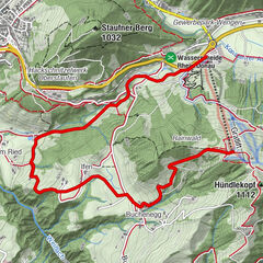
- Route
-
Dorfhaus0.2 kmThalkirchdorf0.2 kmSt. Johannes Baptist0.3 kmAlpe Kühschwand3.6 kmOsterdorfer Wasserfall5.8 kmOsterdorf7.1 kmThalkirchdorf8.1 km
- Best season
-
AugSepOctNovDecJanFebMarAprMayJunJul
- Highest point
- 1,071 m
- Endpoint
-
Festsaal Thalkirchdorf
- Height profile
-
 © outdooractive.com
- Author
-
The tour Thalkirchdorf - Schwandgebiet - Osterdorf is used by outdooractive.com provided.
GPS Downloads


General info
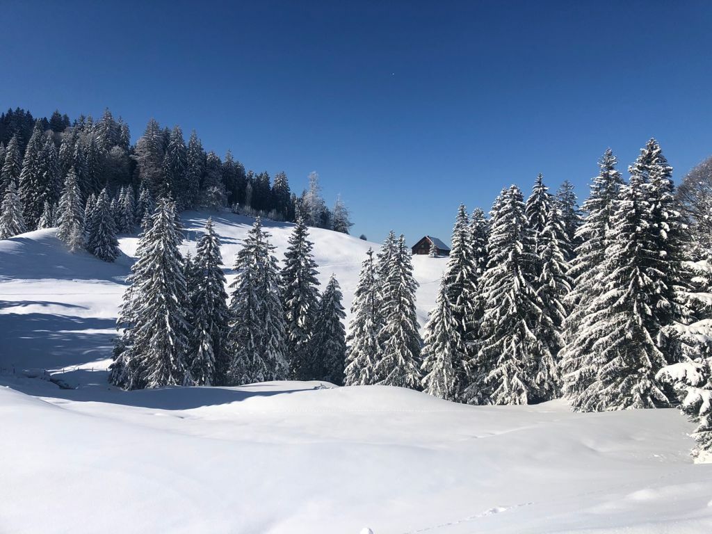
A lot of view
Other tours in the regions
-
Allgäu
67
-
Alpsee-Grünten
65
-
Alpsee Bergwelt
36