© Outdooractive Redaktion - Hartmut Wimmer

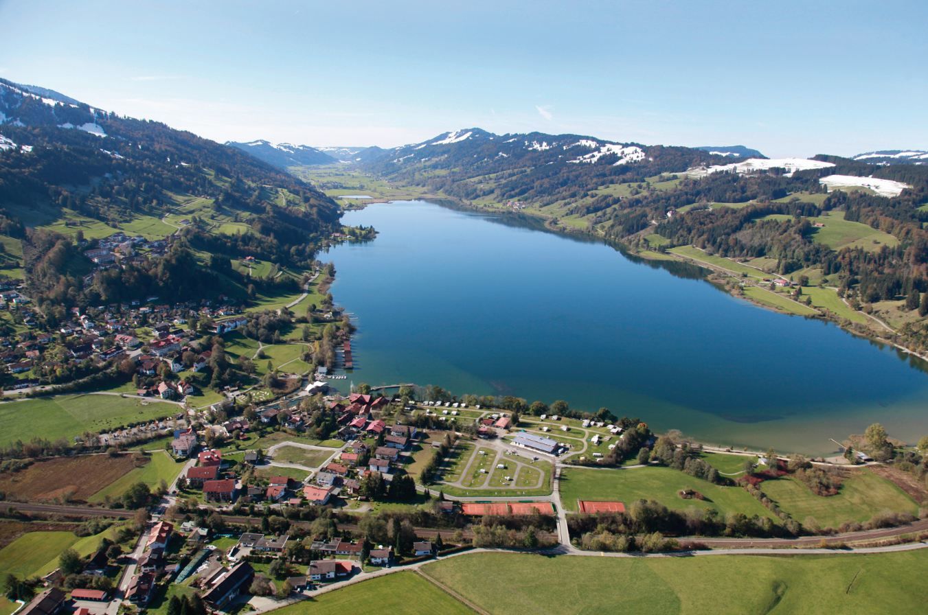
© Alpsee Camping
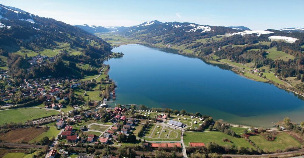
© Alpsee Camping

© https://commons.wikimedia.org/w/index.php?curid=33197802 - Flodur63

© Outdooractive Redaktion - Martin Lässig

© Outdooractive Redaktion - Martin Lässig

- Brief description
-
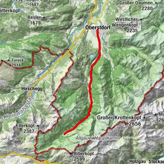
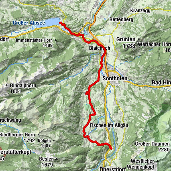
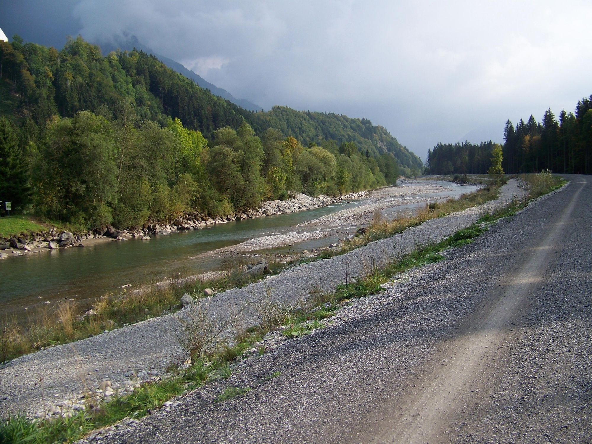
Aussichtsreiche Radtour von Bühl am Alpsee in die "Hörnerdörfer"
- Difficulty
-
easy
- Rating
-
- Route
-
Alpsee Küche0.0 kmSankt Nikolaus2.7 kmÖlbergkapelle2.8 kmImmenstadt i.Allgäu (729 m)2.8 kmHofen6.5 kmBlaichach7.2 kmSteakhouse7.9 kmBihlerdorf9.4 kmOberzollbrücke10.5 kmWesterhofen11.5 kmGasthof Elisabeth11.5 kmOfterschwang14.4 kmMuderbolz15.2 kmMarienkapelle16.6 kmDietrichs16.7 kmUntermühlegg17.3 kmRiedle18.1 kmd' Kitzebichl19.3 kmBolsterlang19.7 kmSt. Magnus20.3 kmSonderdorf20.4 kmObermaiselstein21.8 kmNiederdorf22.9 kmMaria-Hilf-Kapelle23.0 kmLangenwang25.3 kmLangenwang (Schwaben)25.7 km
- Best season
-
JanFebMarAprMayJunJulAugSepOctNovDec
- Highest point
- 882 m
- Endpoint
-
Alpsee Camping
- Height profile
-
 © outdooractive.com


- Author
-
The tour Hörnerdörfer-Panoramatour is used by outdooractive.com provided.
GPS Downloads


General info
Refreshment stop
A lot of view
Other tours in the regions
-
Allgäu
397
-
Alpsee-Grünten
176
-
Ofterschwang / Hörnerdörfer
53