Following the sound of the Isar river - a refreshing tour through Munich's green south


- Brief description
-
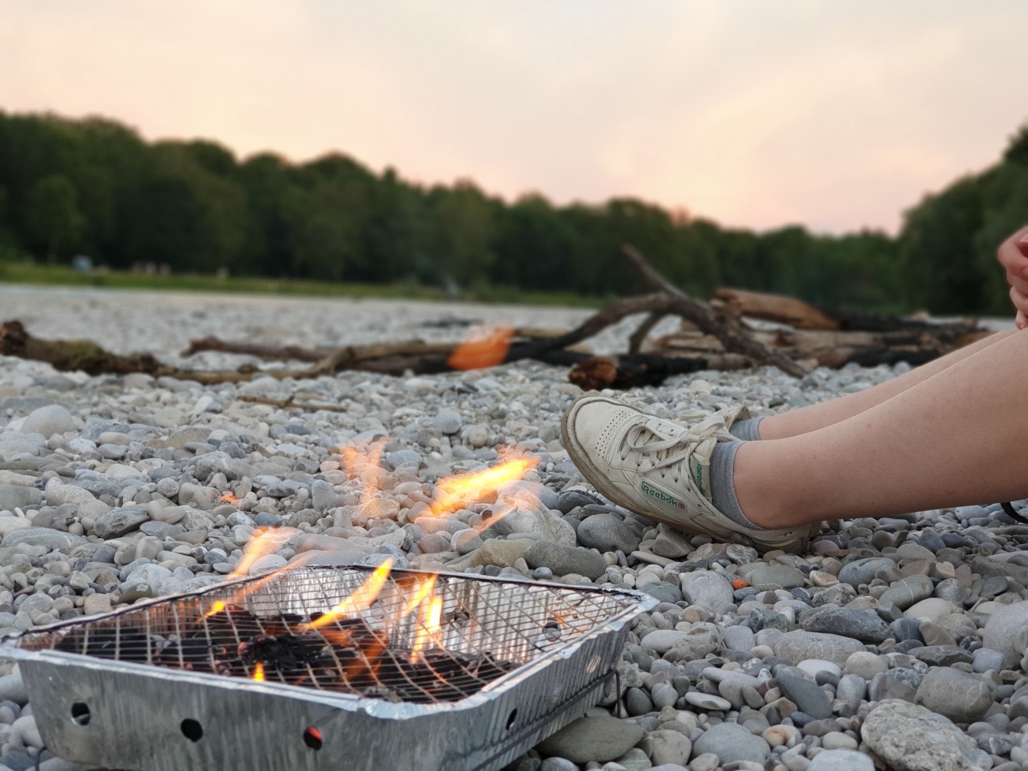
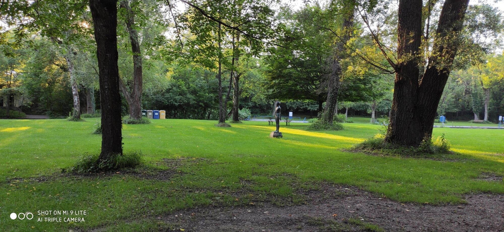
Exploratory bike tour through Munich's beautiful south. On the tracks of the legendary Isarnixe, you can easily explore the history of the city's districts. Along the Isar and other waters with traditional options for refreshing along the tour. Recommended for water-rats and naturelovers! At the end of the bike tour the (chlorine-free) natural swimming pool Maria Einsidel invites you to take an extensive bath in the floods.
- Difficulty
-
medium
- Rating
-
- Starting point
-
train station Fürstenried West.
- Route
-
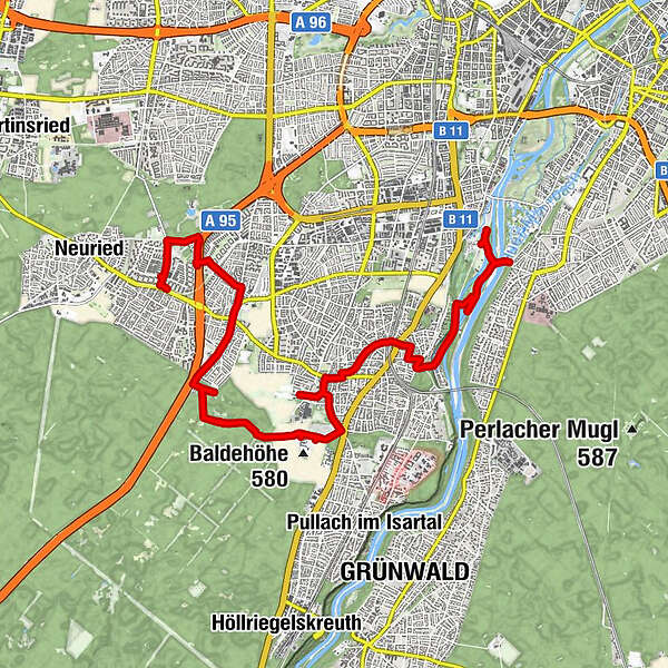
Fürstenried West0.0 kmFürstenried0.1 kmSt. Matthias0.2 kmFürstenried West0.6 kmSchlosskirche Verklärung Christi1.1 kmFürstenried Ost1.9 kmBasler Straße2.2 kmHl. Kreuz3.0 kmForstenried3.1 kmAlter Wirt3.2 kmTaste of India3.6 kmUnterdill4.3 kmRestaurant Poseidon4.6 kmWarnberg7.8 kmAussegnungshalle8.0 kmTeatro Solln8.4 kmGasthof Sollner Hof9.9 kmAlte St. Johann Baptist9.9 kmAlt-Solln10.0 kmSt. Johann Baptist10.3 kmSolln10.3 kmVillenkolonie Solln10.7 kmVillenkolonie Solln11.0 kmZum Sollner Hirschen11.1 kmGasthof Hinterbrühl13.2 kmHinterbrühl13.3 kmMarienklause15.1 kmMaria Einsiedel15.8 kmMunich (519 m)15.9 km
- Best season
-
JanFebMarAprMayJunJulAugSepOctNovDec
- Description
-
Are you interested in diving deep into Munich's green south and being active in the same time? You are in love with nature and water and looking for idyllic spots right in front of your door, beside to the turbulent hustle and bustle of the city?
Alone, as a couple or with the whole family - this tour is just right for you! On the tracks of the Isarnixe you will learn playfully everything about the old buildings, churches and the history of river floating in Munich. Also you can put your legs up at the locals' favourite spots during the tour and enjoy the hustle and bustle.
- Directions
-
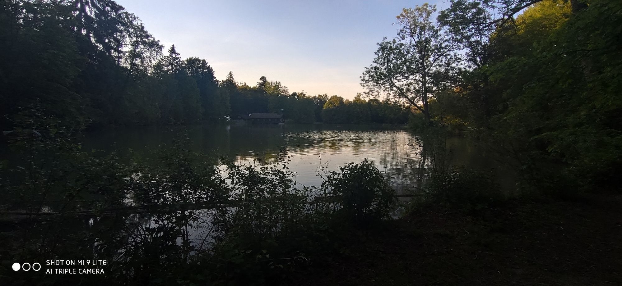
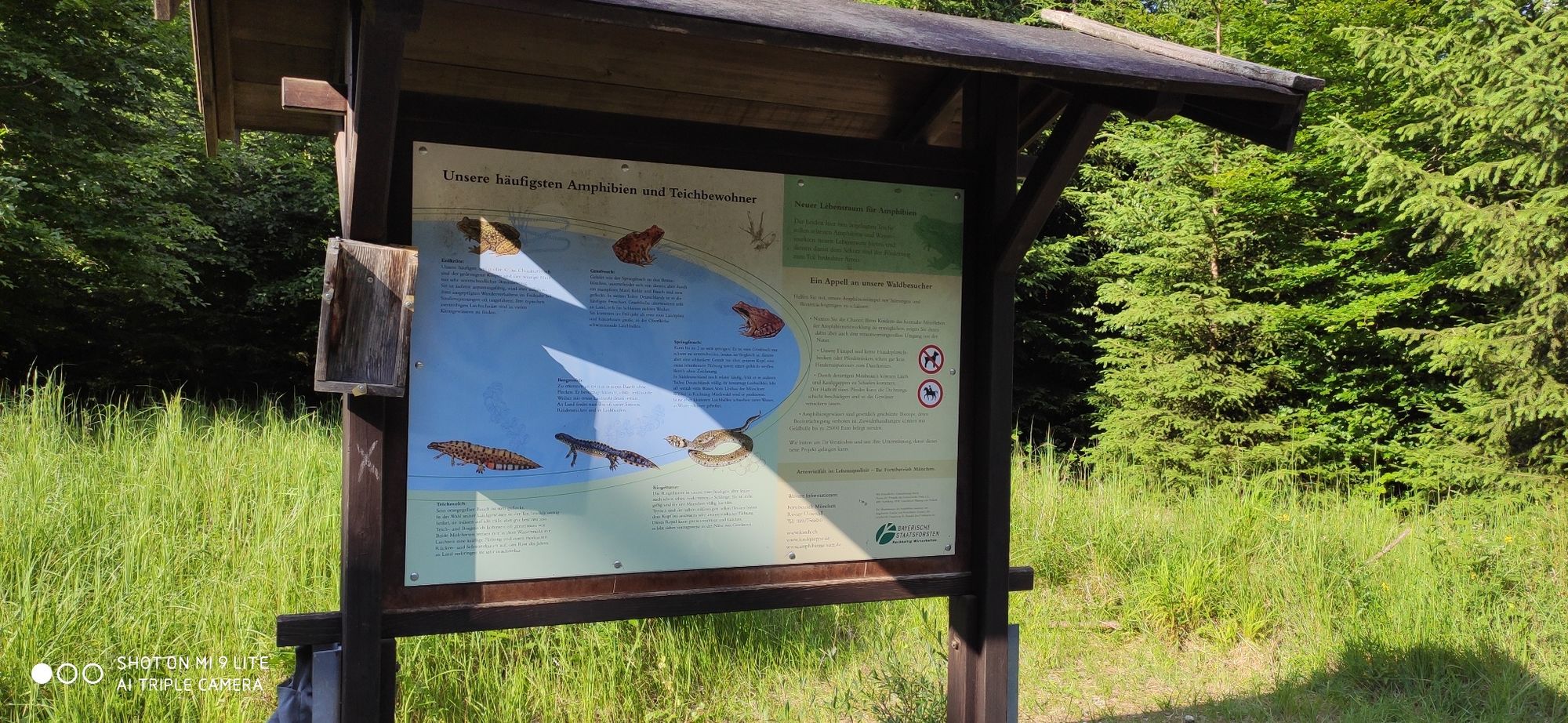
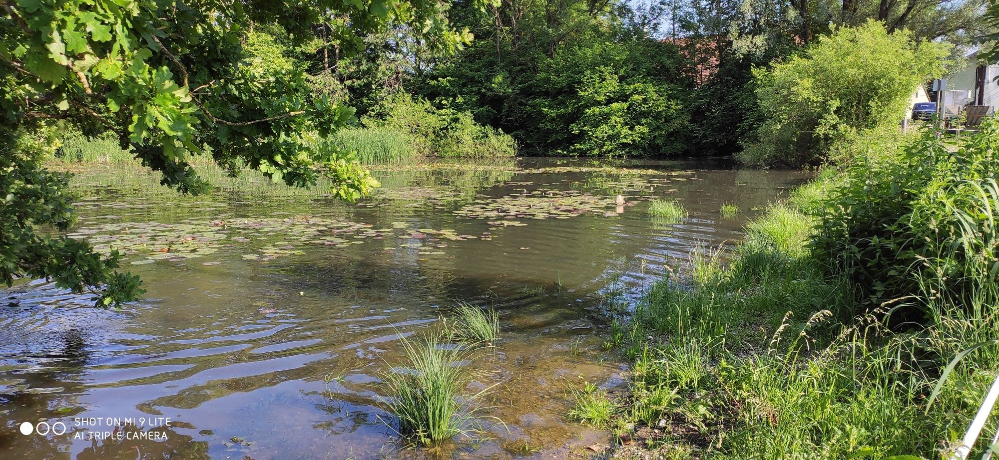
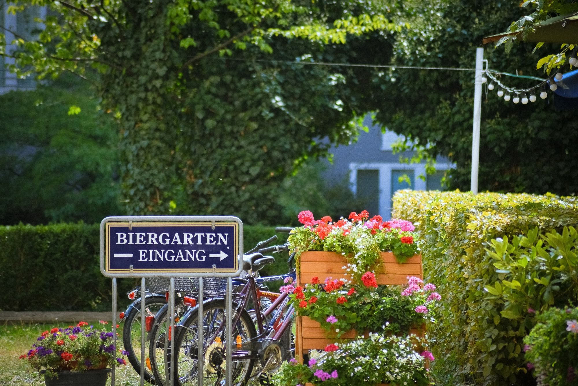
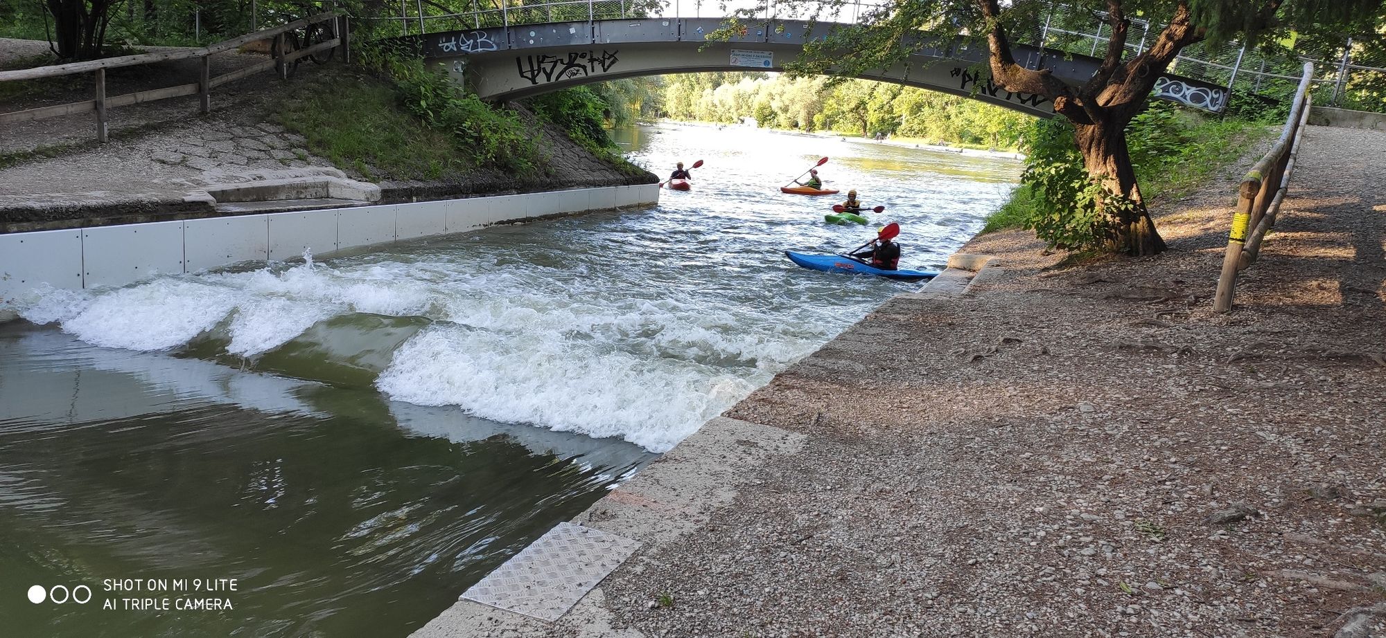
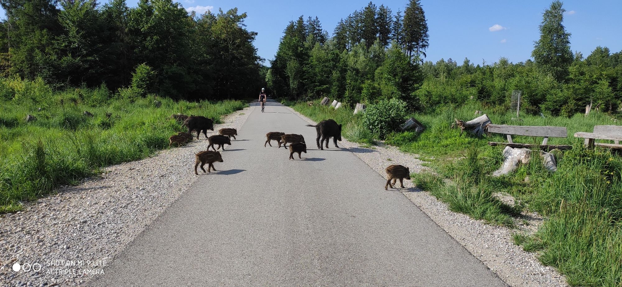
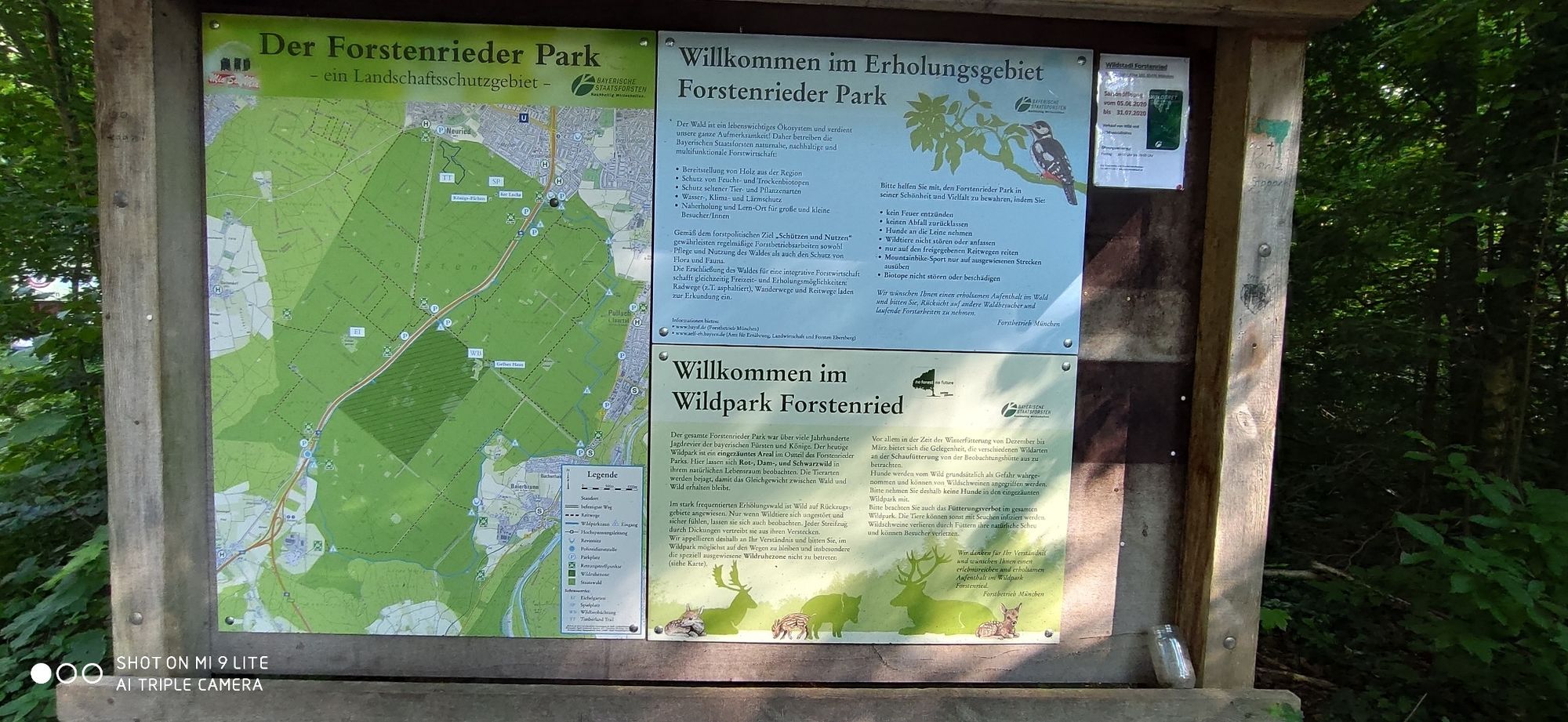
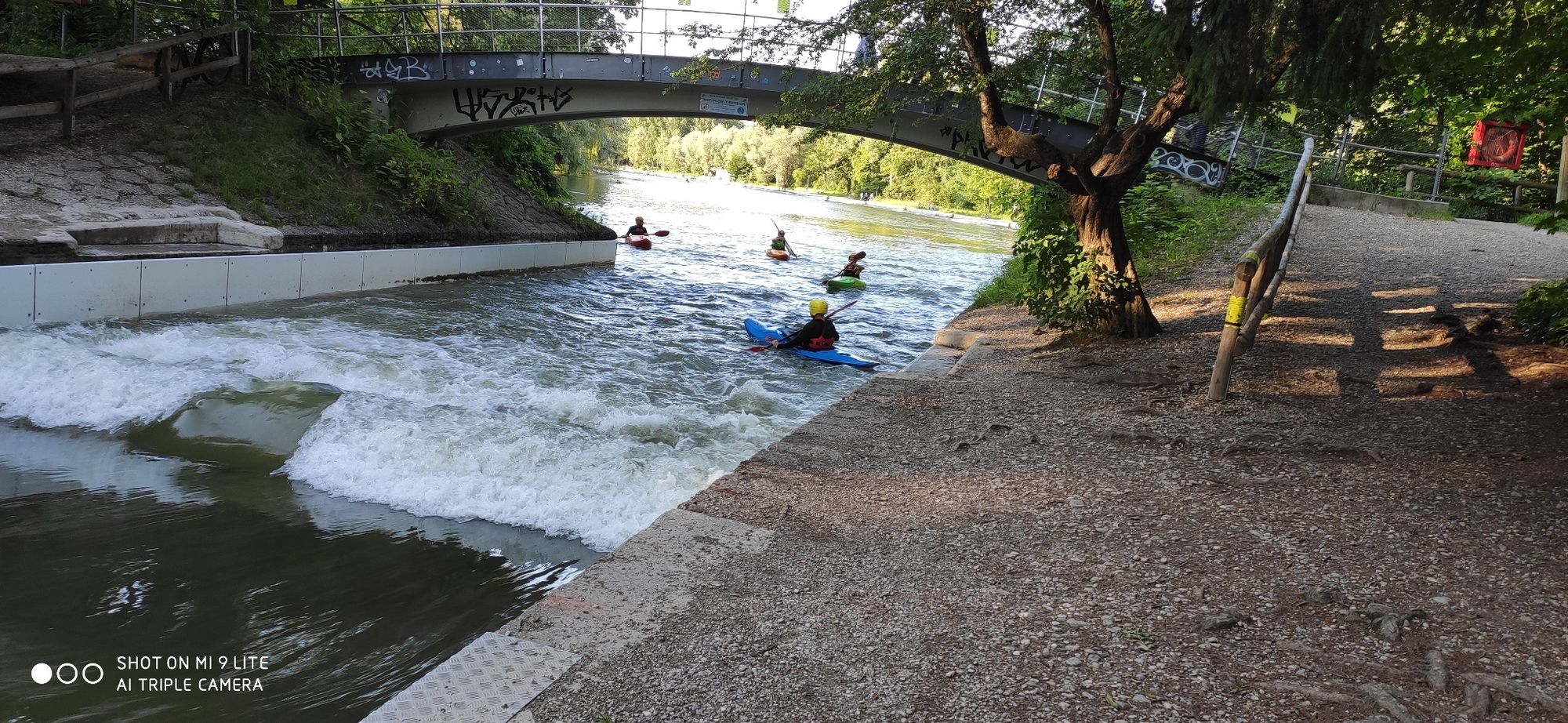
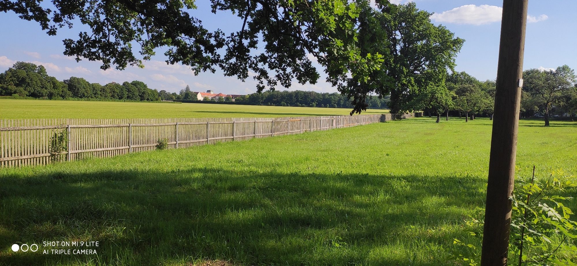
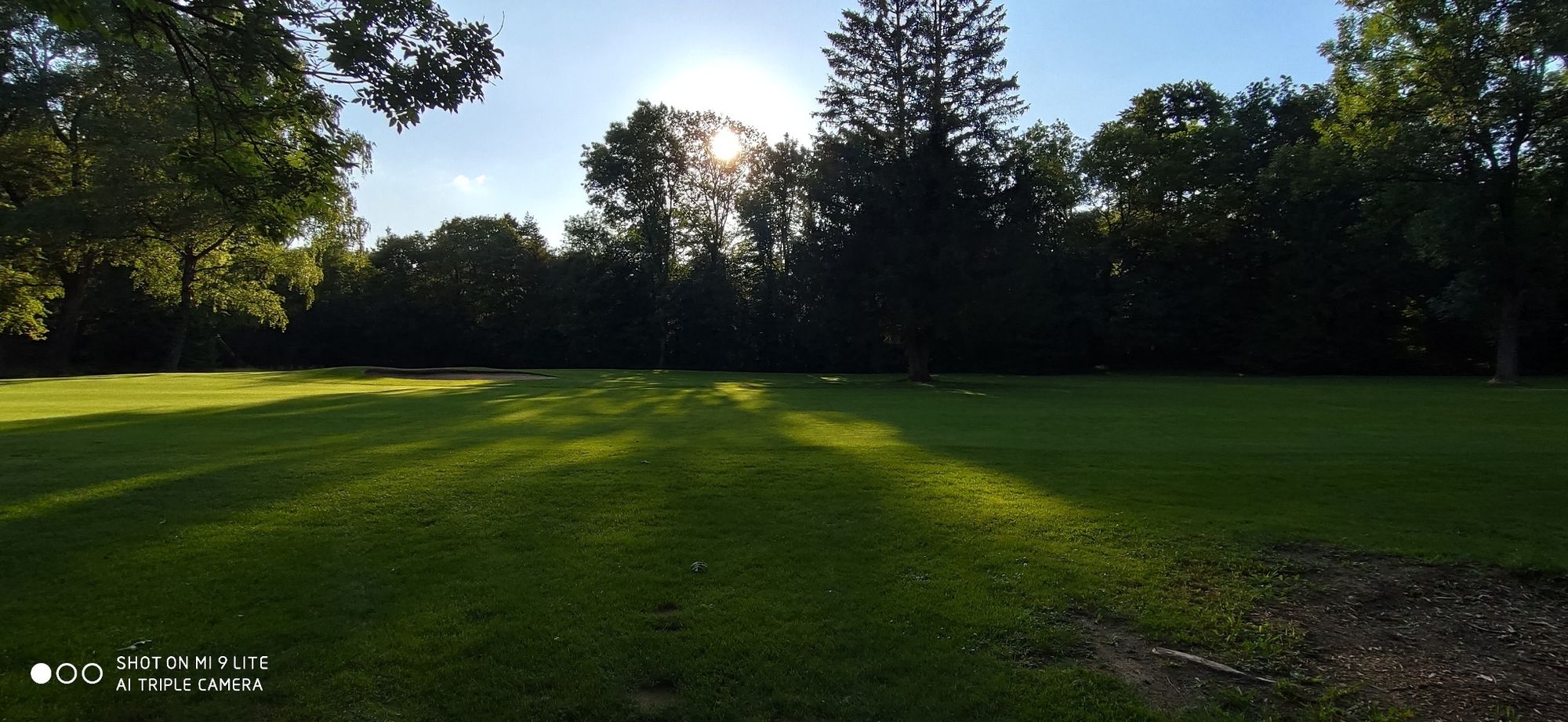
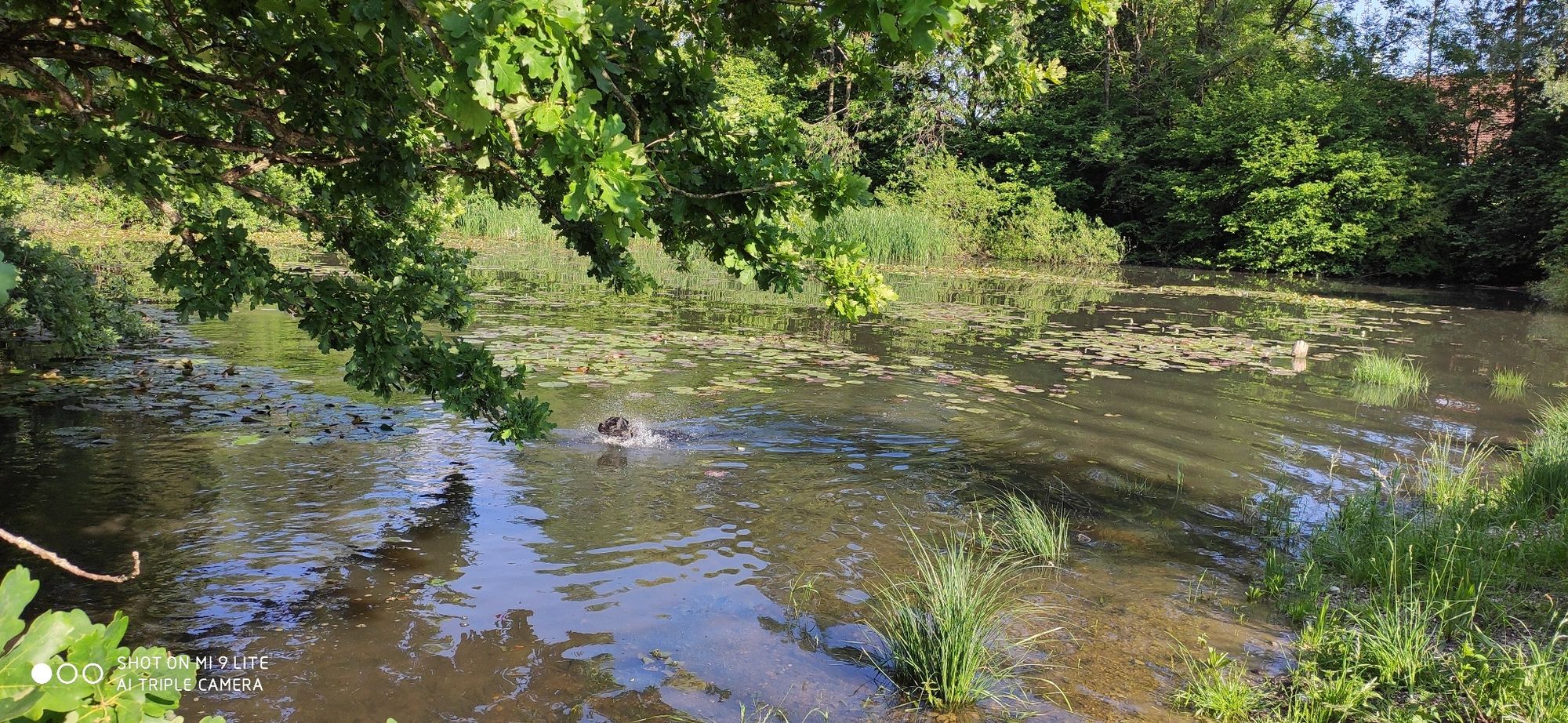
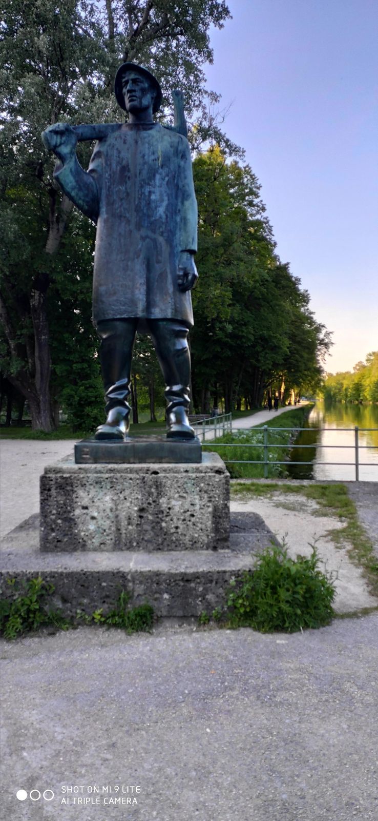
After we have swung into the saddle at Fürstenried West train station, we turn right into Graubündnerstraße. To our left we see the church St. Matthias. we continue to follow the road until after a few 100 meters we turn right into Forst-Kasten Allee. To our left is now the new part of the forest cemetery and after 200 meters we can catch a glimpse through the gates on the right side to the charming hunting lodge Fürstenried. We continue along the avenue and at its end turn right onto the cycle path. Following the cycle path, we continue along the main road, turning right and right again onto the Silviarettweg. After 180 metres we turn right into Baslerstraße and continue straight on via Züricher Straße into Fritz-Baer Straße, which we follow for 500 metres. Now we turn right into Forstenrieder Allee, where we should keep our eyes open as there are still many very well preserved old buildings. After 400 meters on the right hand side we discover for example the Heilig-Kreuz Kirche. The Old Innkeeper, which is a few meters further on the left side and which today houses a beer garden, was built at the beginning of the 20th century.Continue along Forstenrieder Allee to its end, where after 1.2 kilometres, at the height of the Unterdill Inn, we turn left, leave the hikers car parking spot behind us and go to the former forester's house Hubertus, which today houses the Greek and beer garden Poseidon, with the option to take a refreshment in the old walls. With quenched thirst we now dive into the idyllic depths of the Forstenrieder Park, back to the car park and then turn left. After 450 metres we turn left again and after another 240 metres we find the Forstenrieder amphibian pool on our left. After we have enjoyed the nature and the animal world there, we go back to the saddle to relax at the Warnberger Weiher, which is located about 1 km south of us and is also surrounded by greenery. From here we set off to the favourite spot of the Sollner, straight ahead to the north to enjoy the hustle and bustle at the Sollner Weiher in the Muttenthaler Straße. Also in the Muttenthaler Straße is the archive Geiger, of the famous artist and sculptor Rupprecht Geiger, which is definitely worth a detour for art lovers! For this purpose we follow the Muttenthaler Strasse for 300 meters to the southwest. Continue through Solln in an easterly direction and turn back onto Bleibtreustraße and then after about 2 minutes turn right onto Herterichstraße. Here we find the Alte Sollner St. Johann Baptist Church on our left. Now follow the Herterichstraße east towards Faustnerweg and after 240 meters turn left into Grünbauerstraße and then right into Fellerplatz. Here you will find the weekly market, many nice cafes and the new church of the district. Next we keep east towards Festingstraße and continue on Diefenbachstraße, which we follow for 750 m and then turn right into Sollner Straße. To our left we are now invited by the Bavarian inn "Zum Sollner Hirschen" for refreshment. Strengthened we start in the direction of the Isar river, cross the railway line and follow the Friedastraße and then 200 meters to the right into the Irmgardstraße, then to the left into the Heinrich-Vogl Straße and at its end to the right into the Knotestraße, which we follow for 150 meters. Then turn left onto Carusoweg and turn slightly right to stay on Carusoweg. After 230 metres we turn into Conwentzstraße, which we follow along the Isarwerks-canal until we see the Conwentz-bridge on our right and shortly after that the statue of the Isar raftsman. Straight ahead, after leaving the beer-garden Hinterbühl on the left, we turn right into Gerblstraße. Now we find ourselves at the beautiful Hinterbühl lake. Following the Isarwerk-canal further on, we find the Marienklause and the Marienklausesteg after about 1 kilometre, after we have cycled past the Isar power plant. We follow the rafting area to turn right at the end of the rafting area into Zentrallände street. On the left hand side you will find the natural swimming pool Maria Einsiedel, which is the last stop of the tour and invites you to a deserved cool down!
- Highest point
- 576 m
- Endpoint
-
natural swimming pool Maria Einsiedl.
- Height profile
-
 © outdooractive.com
 - Equipment
-
For real bathing nixies it can get wet!
Recommended to bring swimwear, a towel, sun protection and bike wear.
- Safety instructions
-
Only jump into the water at bathing spots, cause the Isar
has wild currents.
- Tips
-
Start your tour in the morning to arrive at Maria Einsidl Bad with its beer garden and stops in the afternoon to enjoy the evening atmosphere by the water.
- Directions
-
coming from the city centre via B2R and A95, exit 3-München-Fürstenried direction Gauting/Neuried.
- Public transportation
-
The underground line U3 as well as buses 260, 261, 267, 936, N41, 56, 134 and 166 operating at Fürtenried West station.
- Parking
-
P&R Fürstenried West.


-
-
AuthorThe tour Following the sound of the Isar river - a refreshing tour through Munich's green south is used by outdooractive.com provided.


General info
-
Oberbayern
158
-
München
73
-
Pullach i. Isartal
24