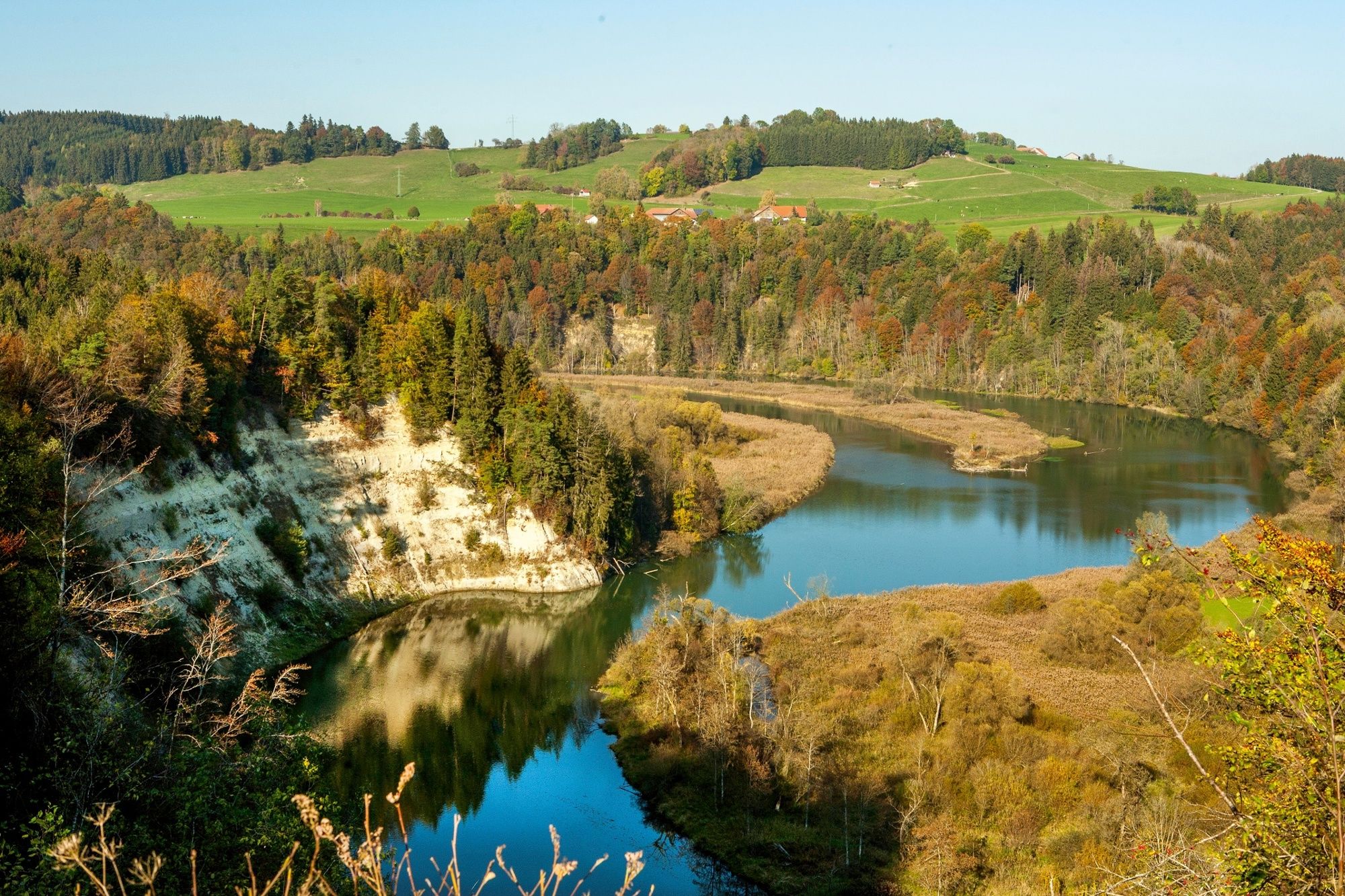
© allgäubild Rieden am Forggensee - Andreas Greil
Tour data
30.39km
613
- 787m
424hm
429hm
02:30h

- Brief description
-
Länge: 30,4 km
Höhenmeter: 570
Empfohlene Fahrtrichtung: gegen den Urzeigersinn
Ausgangspunkte: P an der Umweltstation Legau, P am südlichen Ortsrand Oberbinnwang, P in Bad Grönenbach
- Difficulty
-
medium
- Rating
-
- Route
-
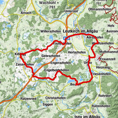
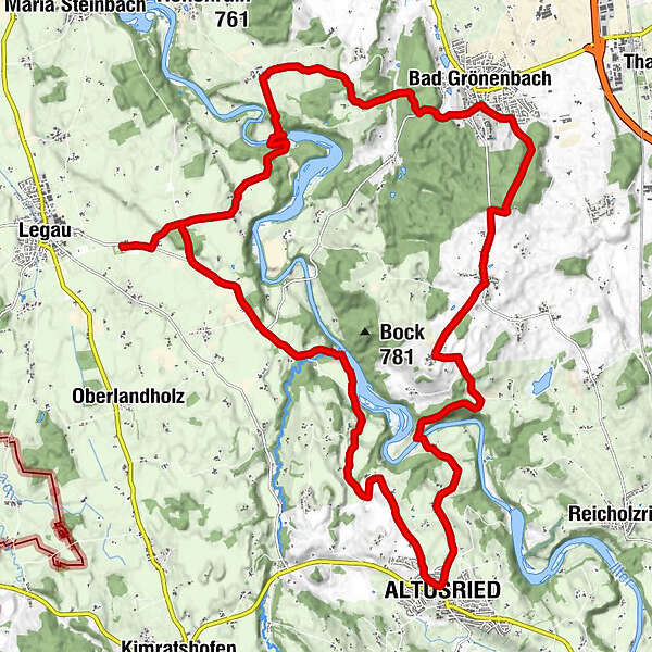
Haid0.0 kmEhrensberg2.5 kmHolztheis2.8 kmMoos3.5 kmNeumühle4.2 kmOdach6.0 kmBetzers6.1 kmStreifen6.8 kmKalden7.6 kmAltusried9.9 kmDreifaltigkeitskapelle11.0 kmHörgers11.1 kmKuppel11.5 kmFischers12.7 kmSommersberg15.6 kmHerbisried17.1 kmSpitalkirche zum Heiligen Geist20.5 kmBad Grönenbach20.7 kmRothmoos23.2 kmOberbinnwang24.9 kmAussichtsturm26.4 kmSack26.7 kmGraben27.9 kmGreut28.4 kmHaid30.2 km
- Highest point
- 787 m
- Height profile
-
 © outdooractive.com
- Author
-
The tour Rund um den Illerdurchbruch is used by outdooractive.com provided.
GPS Downloads


Other tours in the regions
-
Allgäu
411
-
Westallgäu
217
-
Bad Grönenbach
37