
- Brief description
-
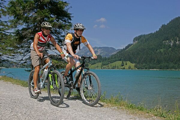
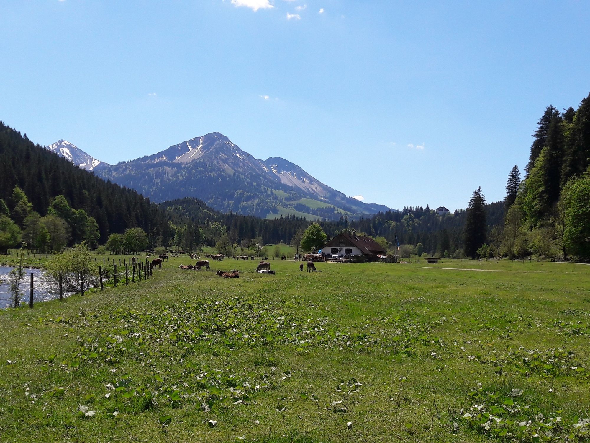
Wunderschöne Tagestour durchs Vilstal nach Schattwald im Tannheimer Tal mit Start in Nesselwang im Allgäu.
- Difficulty
-
medium
- Rating
-
- Route
-
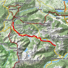
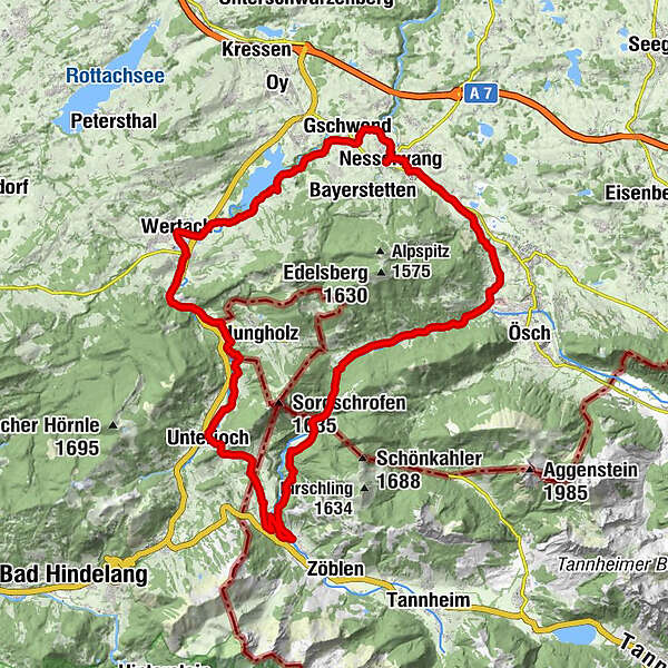
Oberer Markt0.0 kmPfarrkirche St. Andreas0.1 kmMittlerer Markt0.1 kmNesselwang0.1 kmAm Mühlbach0.2 kmEntenmoos0.5 kmHörtnagl0.6 kmObere Wank1.2 kmSt. Johannes der Täufer2.0 kmWank2.0 kmKappel3.7 kmGasthof Engel - Alps Hostel3.8 kmSt. Martin4.0 kmPfronten6.0 kmHörnle6.0 kmRöfleuten6.2 kmHalden6.5 kmGasthof Vilstalsäge9.2 kmWies18.9 kmSteig19.5 kmPfarrkirche Heiligste Dreifaltigkeit24.3 kmUnterjoch24.5 kmSorgalpe27.0 kmAlpe Sorg 127.4 kmVordere Sorgalpe (1,017 m)27.4 kmLochbiler29.1 kmWertach33.6 kmDohle40.1 kmGschwend40.8 kmKapelle St. Joseph40.8 kmAm Mühlbach43.0 kmNesselwang43.3 kmPfarrkirche St. Andreas43.4 kmMittlerer Markt43.4 kmOberer Markt43.4 km
- Best season
-
JanFebMarAprMayJunJulAugSepOctNovDec
- Highest point
- 1,109 m
- Endpoint
-
Willkommensplatz bei der Kirche in Nesselwang
- Height profile
-
 © outdooractive.com
- Author
-
The tour Radrunde ins benachbarte Tannheimer Tal is used by outdooractive.com provided.
GPS Downloads


General info
Refreshment stop
Cultural/Historical
Fauna
Other tours in the regions
-
Allgäu
410
-
Tannheimer Tal
160
-
Jungholz
46