- Brief description
-
Scenic tour in the Rupertiwinkel region of Berchtesgaden
- Difficulty
-
medium
- Rating
-
- Starting point
-
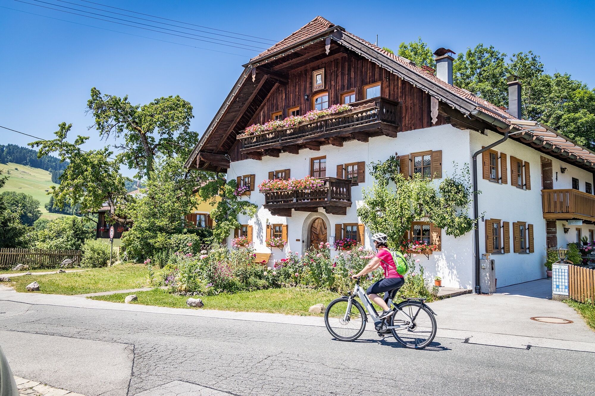
Piding
- Route
-
PidingDorfbeisl Haus GrasslMariä Geburt0.0 kmJechling3.2 kmAltwirt (Schnitzelwirt)4.6 kmAufham4.7 kmReitberg5.9 kmWenger Kapelle6.1 kmGrund6.4 kmMariä Himmelfahrt7.3 kmGoberg Anger7.4 kmLa Marca Gioiosa7.5 kmAnger7.6 kmÖlbergkapelle8.1 kmUnterengelhäng8.4 kmHöglwörth9.0 kmKlosterwirt Höglwörth9.0 kmMayerhofen9.5 kmFörster9.5 kmRamsau11.1 kmBruder Klaus Kapelle12.3 kmAlmeding12.4 kmParmbichl14.0 kmTeisendorf14.3 kmSt. Andreas14.8 kmBraugasthof Alte Post14.8 kmKriegerkapelle St. Michael14.9 kmSt. Michael15.1 kmPunschern16.9 kmArnolding17.9 kmSeeleiten18.9 kmWeildorf20.3 kmPfarrkirche Maria Himmelfahrt20.3 kmLandgasthof Stockklausner20.3 kmMooswastl22.3 kmSchign23.4 kmMoosen24.4 kmAbtsdorf29.0 kmSeethal29.6 kmFisching30.1 kmLandgasthof Hofmann30.9 kmOberheining31.0 kmOberhaslach31.7 kmWiedmannsfelden32.2 kmKletzing32.3 kmLaufen (Salzach)33.1 kmJesuskirche33.4 kmKapuzinerkirche St. Peter und Paul33.5 kmStiftskirche Mariä Himmelfahrt34.4 kmOberndorf bei Salzburg34.8 kmObervillern35.8 kmTriebenbach40.5 kmLoh41.8 kmGroßgerstetten43.1 kmKleingerstetten43.4 kmGasthaus Lederer43.9 kmNeuwirt44.7 kmSurheim45.1 kmNeu-Haberland46.2 kmUntereichet46.4 kmObereichet47.7 kmSt. Rupert49.0 kmFreilassing49.8 kmNeuhofham50.9 kmHeidenpoint52.7 kmSchmiding53.1 kmSchiffmoning53.4 kmMitterfelden54.3 kmRistorante Bella Italia54.6 kmHausmoning54.8 kmWok in55.0 kmGasthof Gumping55.8 kmMariä Himmelfahrt55.9 kmFeldkirchen56.1 kmHammerau57.9 kmAu58.4 kmBicheln59.0 kmAu59.1 kmLohmayr Stub'n62.3 kmPiding62.5 kmDorfbeisl Haus Grassl62.5 kmMariä Geburt62.5 km
- Best season
-
JanFebMarAprMayJunJulAugSepOctNovDec
- Description
-
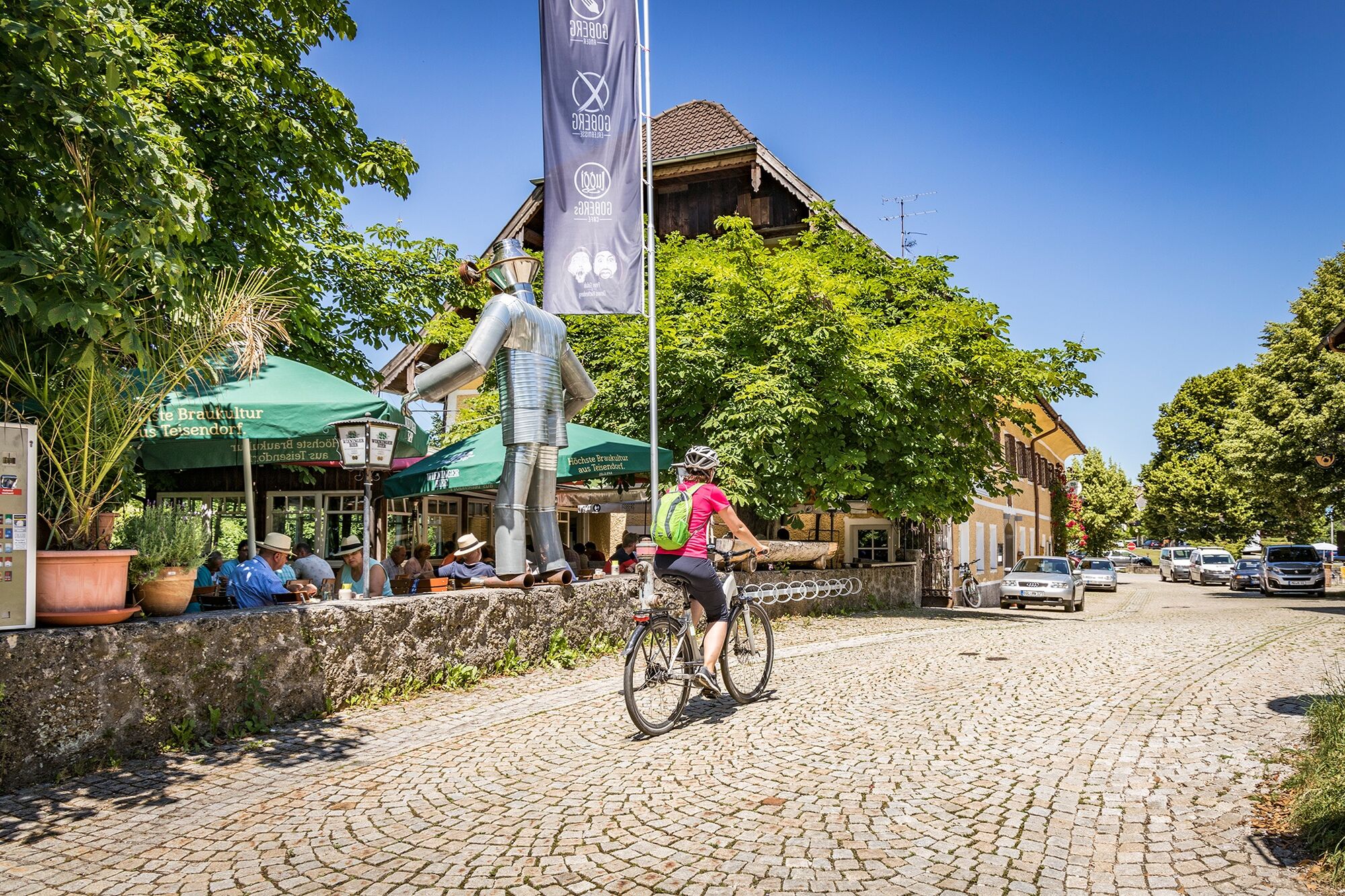
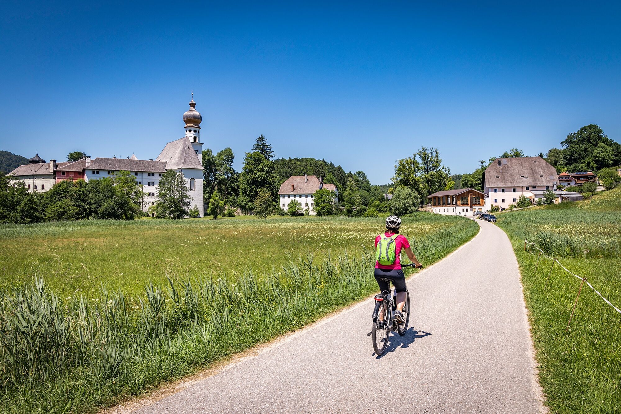
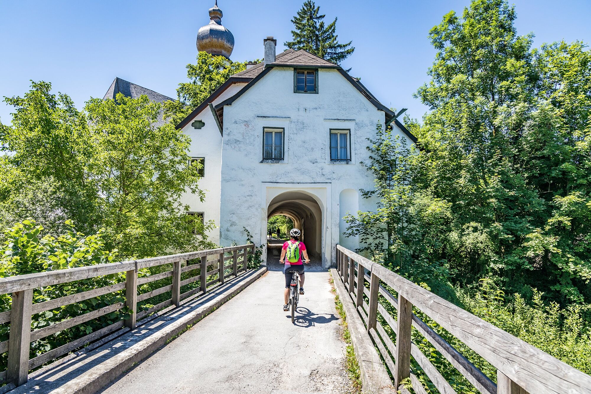
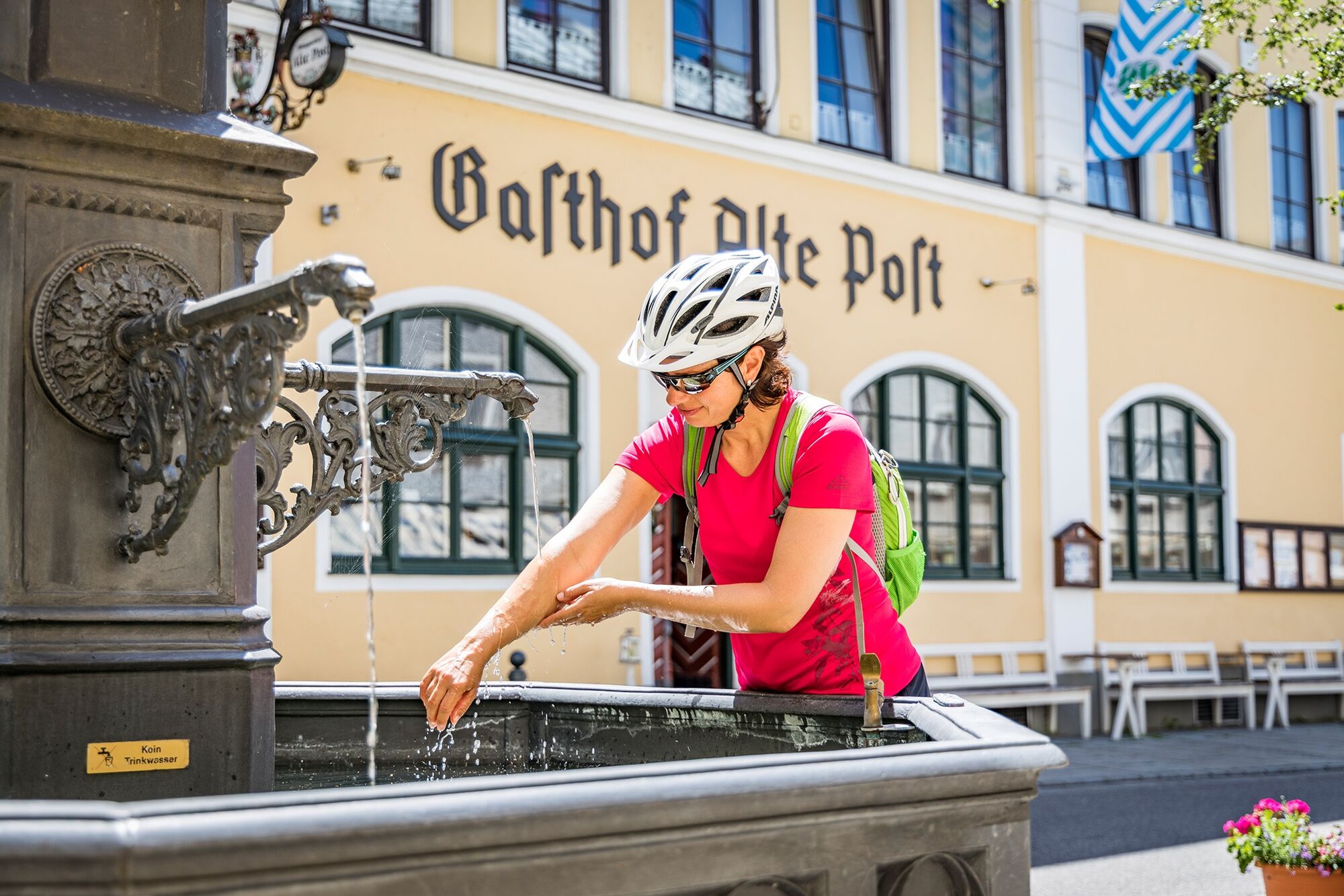
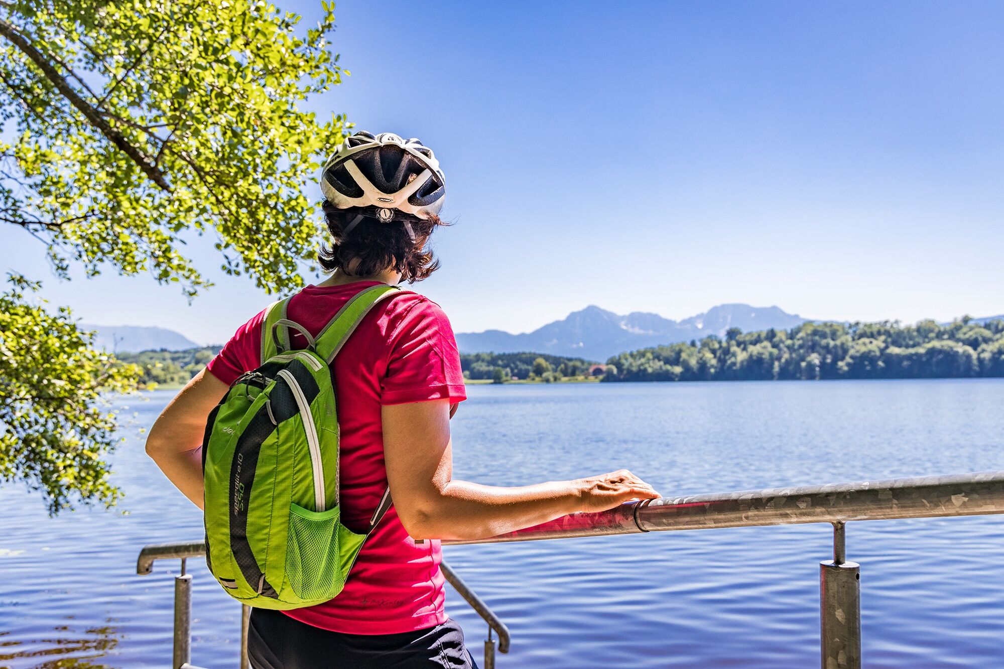
The starting point of the tour is Piding. From here the Ruperti cycle path leads via Anger, Höglwörth, Teisendorf, Weildorf, and Schign to Moosen. Passing Haarmoos and along the shore of Abtsdorfer See, the route continues to Laufen. Here the cycle path continues along the Salzach to Triebenbach. Via Surheim, Freilassing, Mittelfelden, then via Feldkirchen and Hammerau, you finally reach the starting point of the tour in Piding.
- Directions
-
The starting point of the tour is Piding. From here the Ruperti cycle path leads via Anger, Höglwörth, Teisendorf, Weildorf and Schign to Moosen. Past Haarmoos and along the shore of the Abtsdorfer See lake, the route continues to Laufen. Here the cycle path continues along the Salzach to Triebenbach. Via Surheim, Freilassing, Mittelfelden, then via Feldkirchen and Hammerau you finally reach the starting point of the tour in Piding.
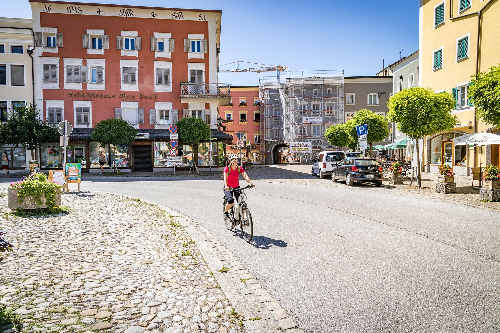
The tour is only suitable for families to a limited extent due to the heavy traffic and its length.
- Highest point
- 557 m
- Endpoint
-
Piding
- Height profile
-
 © outdooractive.com
 - Safety instructions
-
Watch out for the traffic!
- Tips
-
The tour is only suitable for families to a limited extent due to the heavy traffic and its length.
- Additional information
- Directions
-
A8 Exit 115 to Piding
- Public transportation
-
German railways
- Parking
-
Various possibilities in Piding
- Author
-
The tour Bike: Rupertiwinkel Cycle Path is used by outdooractive.com provided.