
- Brief description
-
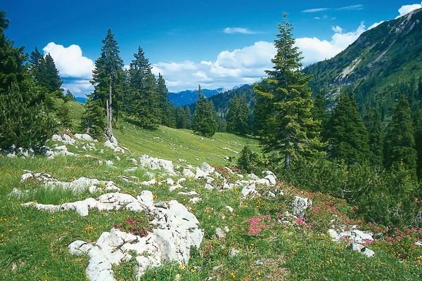
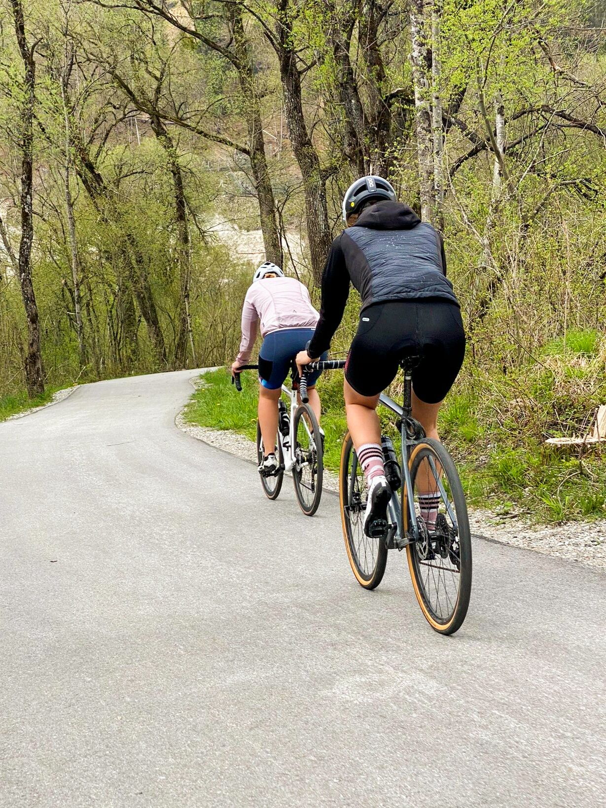
Varied cycling tour through charming landscape along the river Loisach to Ohlstadt. This tour is real enjoyment, with hardly any gradients.
- Difficulty
-
easy
- Rating
-
- Starting point
-
Garmisch-Partenkirchen station
- Route
-
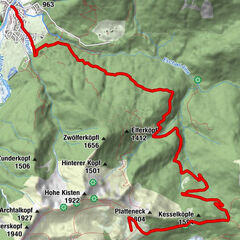
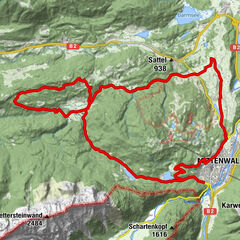
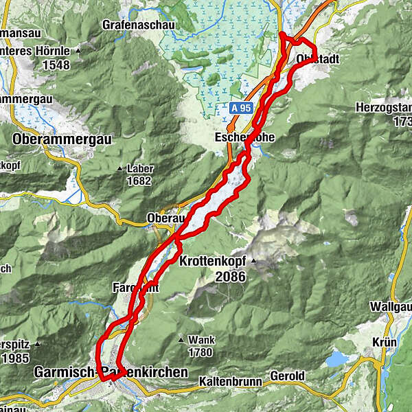
Garmisch-Partenkirchen (708 m)0.1 kmFarchant (672 m)5.1 kmSkilift Eschenlohe14.5 kmTaverne Athen16.3 kmEschenlohe (636 m)16.3 kmGasthaus zur Brücke16.5 kmKleinaschau19.9 kmWeichs24.1 kmDorfbachstüberl25.7 kmOhlstadt25.8 kmTaverne Athen31.7 kmEschenlohe (636 m)31.7 kmFarchant (672 m)42.0 kmWirtschaft "Zum Klos"42.2 kmFriedenskirche43.7 kmPizzeria "San Marco"43.8 kmBurgrain44.0 kmSonnenbichl45.7 kmGarmisch-Partenkirchen (708 m)47.8 kmGarmisch-Partenkirchen (708 m)48.0 km
- Best season
-
JanFebMarAprMayJunJulAugSepOctNovDec
- Description
-
This simple tour, suitable for all skills and fitness levels, takes you north from Garmisch-Partenkirchen to the Loisach valley. You will cycle leisurely on shady cycle paths along the river Loisach, mostly away from the road, along moors and swamps abundant with flowers, past large and small puddles to your destination in Ohlstadt. This cycle tour can be undertaken as a linear tour or as a circular tour.
For a more detailed description of the tour, please refer to "PDF Print" above.
- Directions
-
From the car park in front of the main entrance to the station go right down Bahnhofstrasse past the travel agency. At the traffic lights turn left into Von-Brug-Strasse and after the railway bridge go right into Parkstrasse, on which you carry on straight up to the bridge over the river Loisach. The cycle path starts on the right side at the junction with the traffic lights. This cycle path will take you to the end of town alongside the state road B2 on the right hand side. You will then cross the state road at the pelican crossing, the signposted cyclepath will then take you slightly to the left past the golf course, through Burgrain and then on to Farchant. Carry on past the sports centre and into Föhrenheide. Always following the river Loisach, the cycle path winds all the way to Oberau. Getting off the bridge over the river Loisach in Oberau, turn right toward the golf course. This forest path will go parallel to the edge of the forest all the way to Eschenlohe. In the town bear right before the bridge across the river Loisach and cycle alongside the railway track and the river downstream to Ohlstadt. You can return from Ohlstadt by train or you can return on one of the signposted cycle paths along the other bank of the river Loisach.
- Highest point
- 707 m
- Endpoint
-
Bahnhof in Garmisch-Partenkirchen
- Height profile
-
 © outdooractive.com
 - Equipment
-
- Safety instructions
-
Weatherproof clothing, cycle helmet, drinking bottle, bike repair kit, first aid kit, if necessary sun screen
- Tips
-
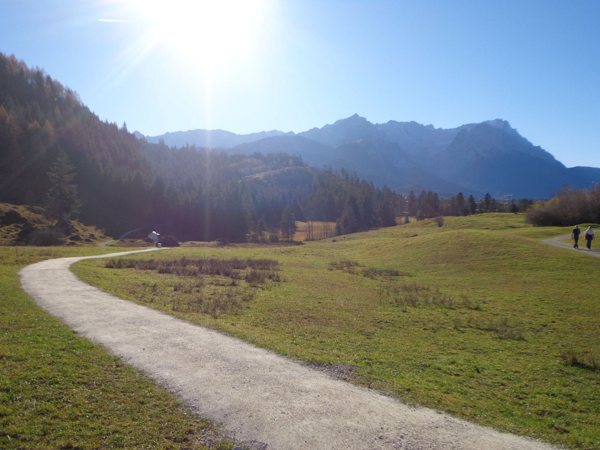
Along the river Loisach, there are plenty of fields, inviting you to take a short break. Take your time and enjoy a picnic on the banks of the river. Tired legs are quickly refreshed in the cold mountain stream. This tour is particularly suitable for families, as it can be shortened at any point. There is the possibility to take the train back to Garmisch-Partenkirchen at Oberau, Eschenlohe and Ohlstadt. There is a train every hour. We recommend that you check the train times before starting on your cycle tour.
- Additional information
-
www.gapa.de
www.zugspitzland.de
- Directions
-
Take the motorway A95 in the direction of Garmisch-Partenkirchen. At the end of the motorway at Eschenlohe take the state road B2 to Garmisch-Partenkirchen, in the direction of the Partenkirchen part of town/Mittenwald/Innsbruck. At the intersection in front of the town hall (4th set of traffic lights) turn right, then take a left to the station at the 2nd set of traffic lights.
From Mittenwald take the state road B2 to Garmisch-Partenkirchen, follow the signs for München (Munich). At the intersection in front of the town hall (3rd set of traffic lights) turn left, then turn left again at the 2nd set of traffic lights.
Coming from Reutte/Ehrwald/Tirol/Grainau on the state road B23, drive into Garmisch-Partenkirchen, always following the signposts for the Partenkirchen part of town (“Ortsteil Partenkirchen”). After the underpass at St.-Martin-Strasse, there is a sharp right bend in the road, immediately followed by a set of traffic lights. Here you take a right turn, which takes you straight to the station. - Public transportation
-
Hourly train connections between München Hbf (Munich central station) and Garmisch-Partenkirchen, regular connections from Reutte and Innsbruck.
- Parking
-
Main station car park (P4), fee payable
- Author
-
The tour Through Loisachtal valley is used by outdooractive.com provided.


General info
-
Zugspitz Region
197
-
Oberau
36