
- Brief description
-
Unhurried cycling tour through the Loisachtal and Katzental valleys - with a little stamina it is also possible with children.
- Difficulty
-
medium
- Rating
-
- Starting point
-
Bahnhof (train station) Garmisch-Partenkirchen
- Route
-
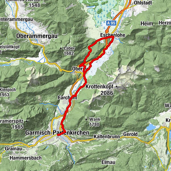
Garmisch-Partenkirchen (708 m)St. Sebastians-Kapelle0.6 kmPartenkirchen0.6 kmGarmischer Integrations-und Bildungsverein e.V.0.7 kmFarchant (672 m)5.7 kmÖlbergkapelle15.9 kmGasthaus zur Brücke16.3 kmEschenlohe (636 m)16.3 kmHöllenstein18.7 kmKatzental21.3 kmPizzeria 'La Caprese'23.7 kmOberau (659 m)24.3 kmOberau24.5 kmFarchant (672 m)28.9 kmPartenkirchen33.5 kmSt. Sebastians-Kapelle33.5 kmGarmischer Integrations-und Bildungsverein e.V.33.7 kmGarmisch-Partenkirchen (708 m)34.4 kmGarmisch-Partenkirchen (708 m)34.6 km
- Best season
-
JanFebMarAprMayJunJulAugSepOctNovDec
- Description
-
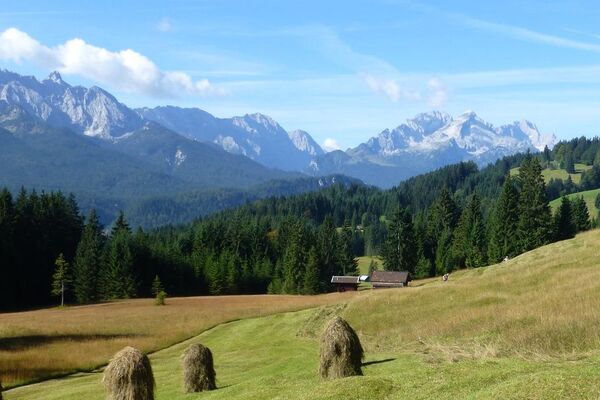
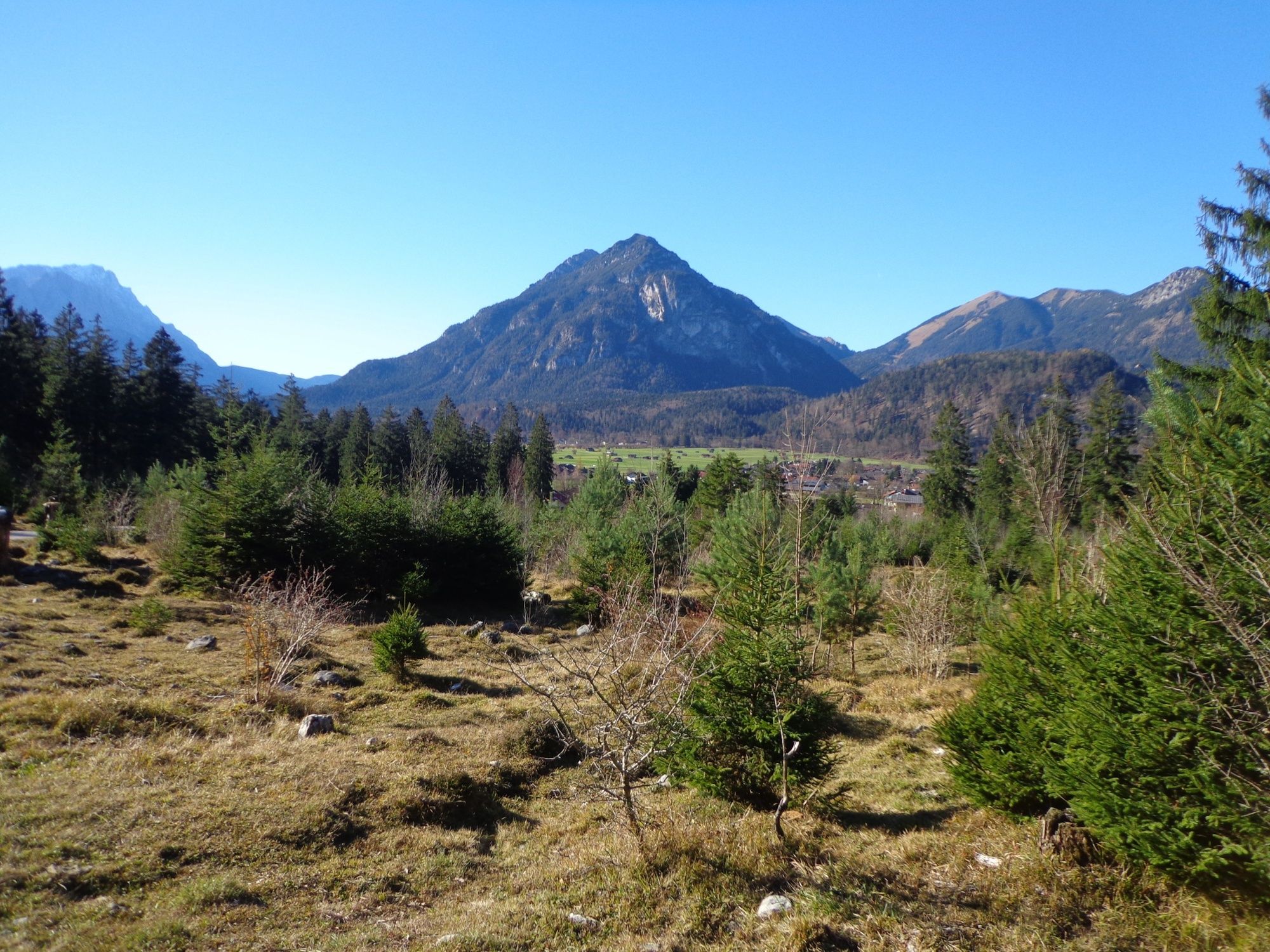
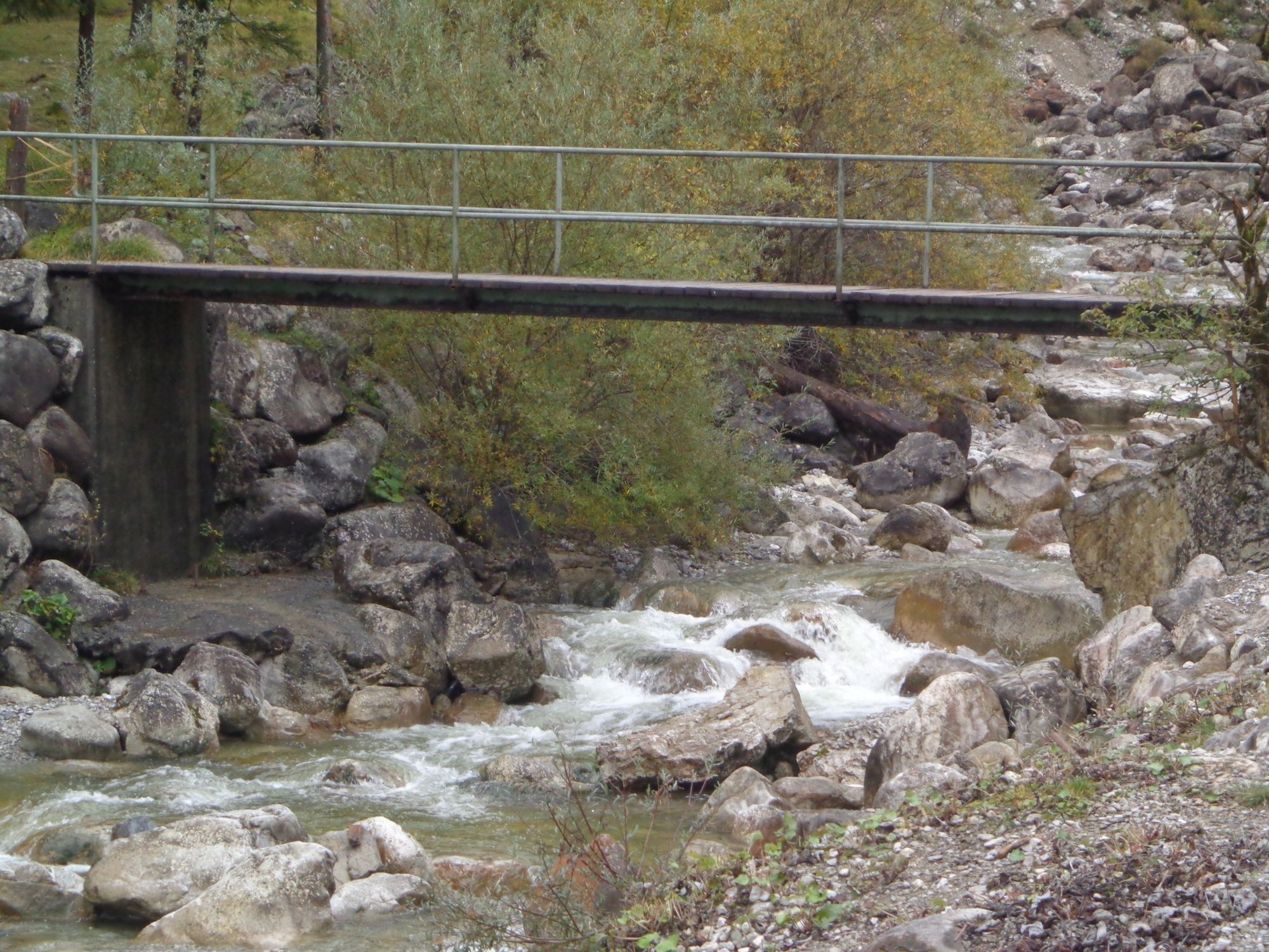
This is a popular after-work route or an easy Sunday outing with the family. At the Föhrenheide, the pastures between Farchant and Oberau, you can see horses and sheep. At around half the distance of this route you can cross the Röhrlbach stream, where a small bridge invites you to take a break. This is ideal for dangling your feet in the water in the summer or for enjoying the sun. For children, there is always a lot to discover around here. Behind Oberau, romantic tracks along the Loisach River take you to Eschenlohe, where the ducks like to sit on the embankment. Apart from a slight ascent in Höllenstein, the tour is rather level and you can take a breather on one of the numerous benches. Stop for refreshments at the restaurant Brückenwirt in Eschenlohe or at Conlan’s Cafe & Restaurant in Oberau on your way back.
For a more detailed description of the tour, please refer to "PDF Print" above.
- Directions
-
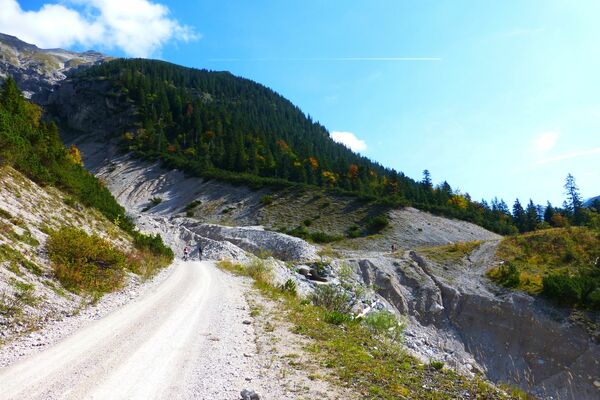
From the station’s main entrance, take Bahnhofstraße and cross the town hall intersection to the Partenkirchen part of town. Behind the church Sebastianskircherl, turn left onto Münchnerstraße, in turn following it until you leave the town in the direction of Farchant. Just behind the bridge over the Loisach River, before reaching Farchant, turn sharply to the right onto a footpath. At “Am Wehr” turn right once again, take Mühldörflstraße across the Loisach River bridge and then turn left onto Frickenstraße. At the end of the street turn right and cross the cattle grid, and then cycle through the Föhrenheide to Oberau. At the large information board you can get your bearings and decide whether to continue from here on the left or right hand side of the Loisach River. Alternatively, cross the bridge on the left, and then turn right onto the Deichweg, riding alongside the Loisach River to Eschenlohe. There you should follow the Deichweg to the centre of the village. At the large bridge turn left. 200 m in front of the church, turn left again and pass the new cemetery, in turn following the signs to Höllenstein – Katzental. At the end of the free space you should follow the stream Auer Laine through the Katzental Valley. First go a little uphill, then back to Oberau in a speedy downhill ride, past the swimming pool to the Hauptstraße. After passing the traffic lights and the railway tracks you will make it back to the entrance of the Föhrenheide.
- Highest point
- 758 m
- Endpoint
-
Bahnhof in Garmisch-Partenkirchen
- Height profile
-
 © outdooractive.com
 - Equipment
-
Weatherproof clothing, cycling helmet, water bottle, repair kit, first-aid kit, and protection against the sun
- Tips
-
During the summer months, you can cool down in the swimming pool in Oberau.
In Eschenlohe, you can stop for refreshments at the restaurant Brückenwirt, on the way back in Oberau at Conlan’s Cafe & Restaurant.
- Additional information
-
www.gapa.de
www.conlans-cafe.de
www.zur-bruecke-eschenlohe.de
- Directions
-
Take the motorway A95 from Munich to its end at Eschenlohe, and then follow the state road B2 to Garmisch-Partenkirchen. Drive in the direction of Partenkirchen/Mittenwald/Innsbruck. Turn right at the intersection at the town hall (4th traffic light), and then turn left to the train station at the second traffic light.
When coming from Mittenwald, take the state road B2 to Garmisch-Partenkirchen. Follow the signs there to Munich. At the town hall intersection (3rd traffic light), turn left, and then left again at the 2nd traffic light.
When coming from Reutte/Ehrwald/Tirol/Grainau, take the state road B23 into Garmisch-Partenkirchen and follow the signs to “Ortsteil Partenkirchen”. After the underpass on St.-Martin-Straße there is a sharp bend to the right, immediately followed by traffic lights. Here, you should turn right to the train station. - Public transportation
-
Take the train to Garmisch-Partenkirchen (connections from Munich every hour, regular connections from Innsbruck and Reutte).
- Parking
-
Bahnhof (train station), P4, paid parking
- Author
-
The tour Cycling tour from Garmisch-Partenkirchen to the Katzental is used by outdooractive.com provided.


General info
-
Zugspitz Region
197
-
Oberau
36