Tour data
31.11km
652
- 752m
230hm
252hm
02:30h
- Brief description
-
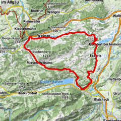
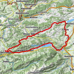
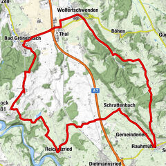
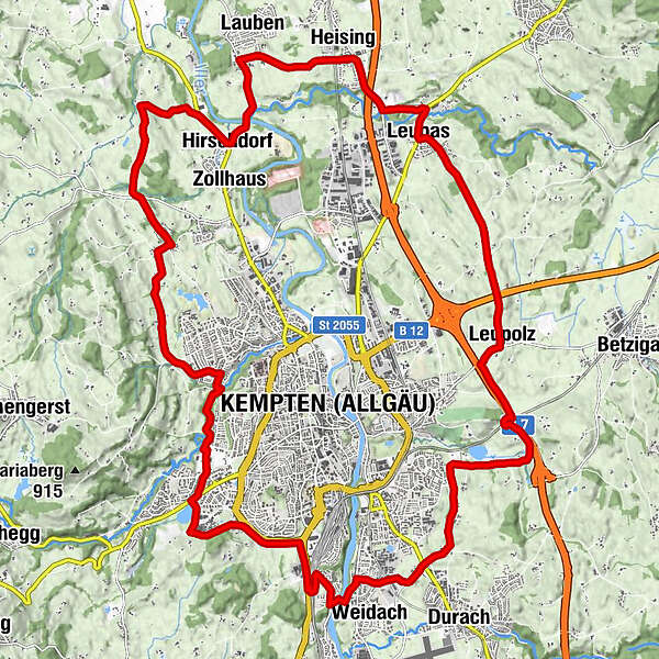
Diese Radrunde führt Sie rund um die Allgäu-Metropole Kempten. Dabei passieren wir idyllische Weiher, überqueren den Fluss Iller und erkunden die hügelige Voralpenlandschaft rund um Kempten.
- Difficulty
-
easy
- Rating
-
- Route
-
Bella Vista0.2 kmBucharts1.4 kmFranzosenbauer3.0 kmEich4.8 kmWeidach5.6 kmOberkottern6.2 kmMiesenbach7.1 kmHeberlings7.6 kmLinggen8.1 kmHasenbühl8.4 kmMoos11.2 kmLeupolz13.0 kmHochstraß14.4 kmLeubas16.7 kmMaria Heimsuchung16.8 kmStielings17.1 kmHafenthal17.8 kmHeising18.9 kmLauben20.4 kmNasengrub21.6 kmHinterbach22.3 kmHirschdorf22.3 kmRappenscheuchen23.3 kmBezachmühle24.0 kmEllatsberg24.3 kmReisachmühle25.3 kmUnterer Wirt26.3 kmHeiligkreuz26.6 kmTannach27.2 kmThingers29.2 kmSonnenhang29.4 kmKempten (Algovia) (674 m)29.9 km
- Best season
-
JanFebMarAprMayJunJulAugSepOctNovDec
- Highest point
- 752 m
- Endpoint
-
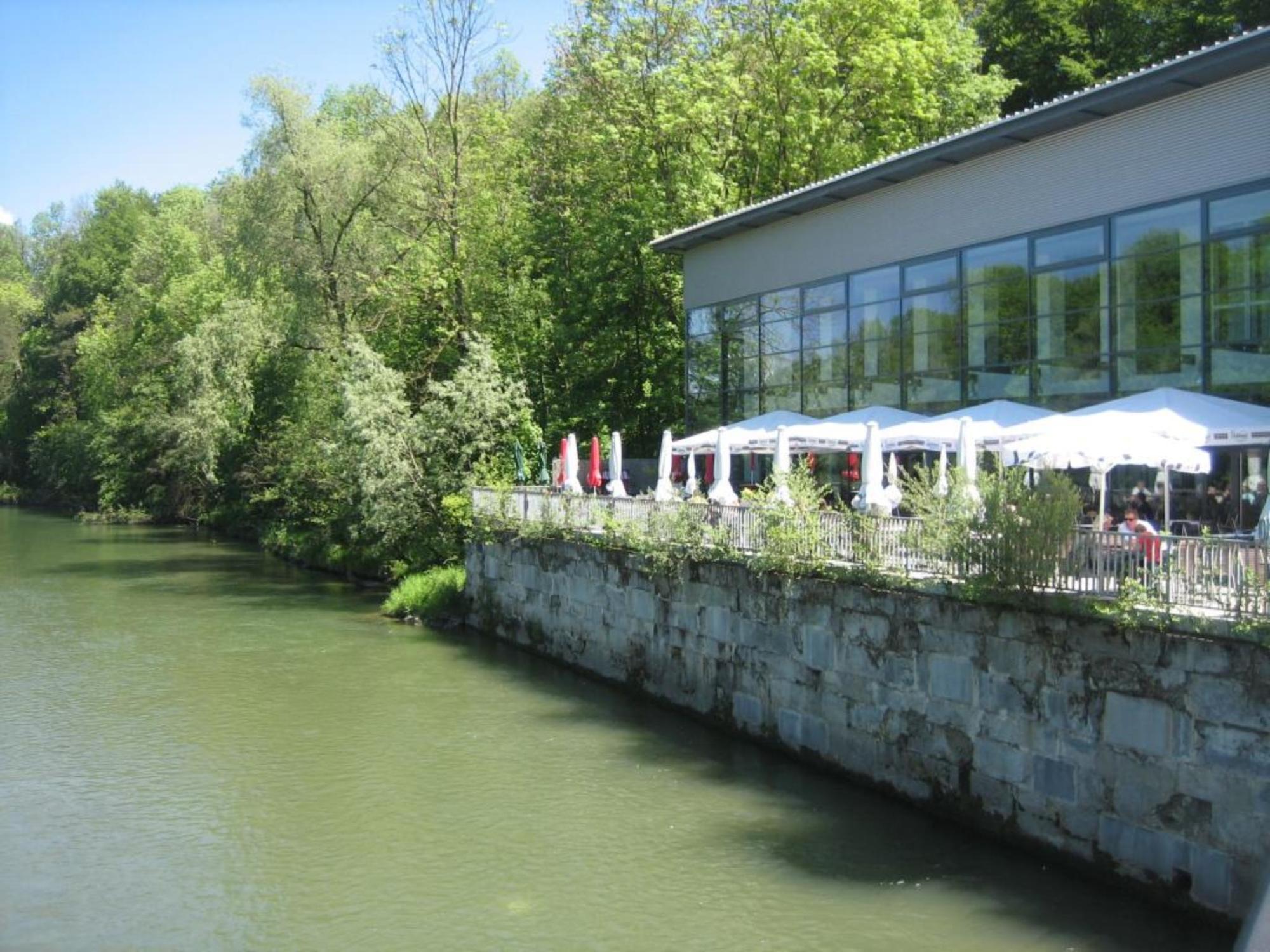
Freizeitbad Cambomare, Aybühlweg
- Height profile
-
 © outdooractive.com


- Author
-
The tour Kemptner Runde is used by outdooractive.com provided.
GPS Downloads


Other tours in the regions
-
Allgäu
411
-
Oberallgäu
194
-
Kempten
38