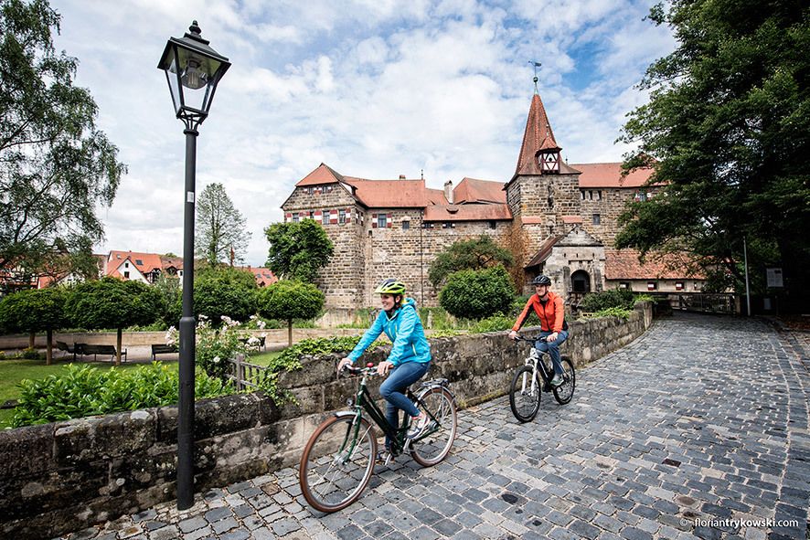
© Nürnberger Land Tourismus - Florian Trykowski

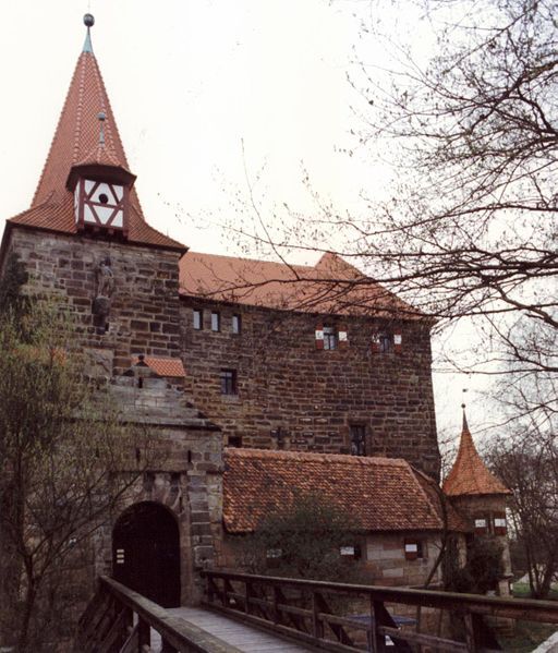
© Unbekannt - Rainer Kunze, GNU-Lizenz für freie Dokumentation

© Nürnberger Land Tourismus - Florian Trykowski

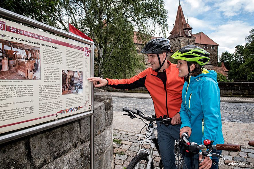
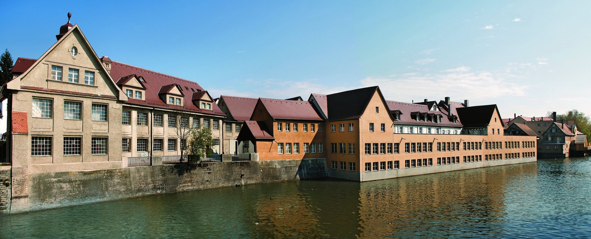
© Nürnberger Land Tourismus - Industriemuseum Lauf
- Brief description
-
Mit dem Rad auf Zeitreise in die Industriegeschichte
- Difficulty
-
medium
- Rating
-
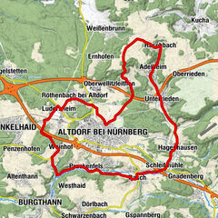
- Route
-
Nuremberg (309 m)Unterbürg2.1 kmHammer3.9 kmMalmsbach (310 m)5.4 kmRoter Löwe5.4 kmMalmsbach5.5 kmSpeckschlag9.5 kmGrünthal11.0 kmRöthenbach an der Pegnitz11.9 kmLauf an der Pegnitz16.3 kmOttensoos21.2 kmSt. Veit21.5 kmOsteria da Peppe21.8 kmNeunkirchen am Sand24.9 kmSpeikern26.2 kmRollhofen28.3 kmSchnaittach30.2 kmSt. Kunigund30.6 kmPizzeria La Rustica30.8 kmHedersdorf31.6 kmGasthof Schuster31.8 kmSimmelsdorf35.3 km
- Best season
-
JanFebMarAprMayJunJulAugSepOctNovDec
- Highest point
- 375 m
- Endpoint
-
Simmelsdorf, Bahnhof
- Height profile
-
 © outdooractive.com
- Author
-
The tour Radweg Industriegeschichte - Hauptroute is used by outdooractive.com provided.
GPS Downloads


General info
A lot of view
Other tours in the regions
-
Franken
66
-
Frankenjura
19
-
Lauf an der Pegnitz
18


")