- Brief description
-
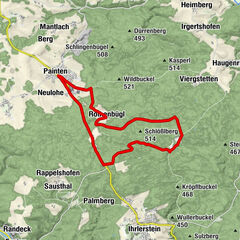
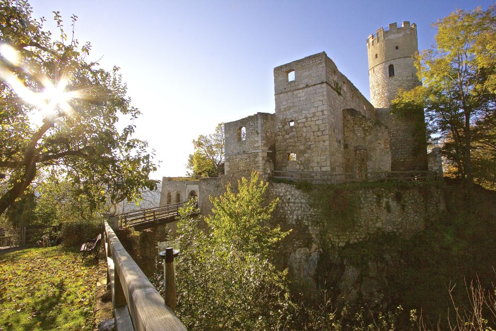
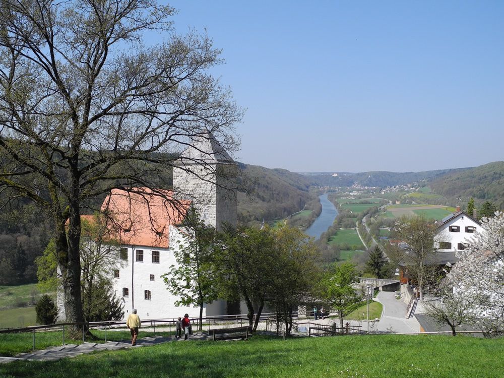
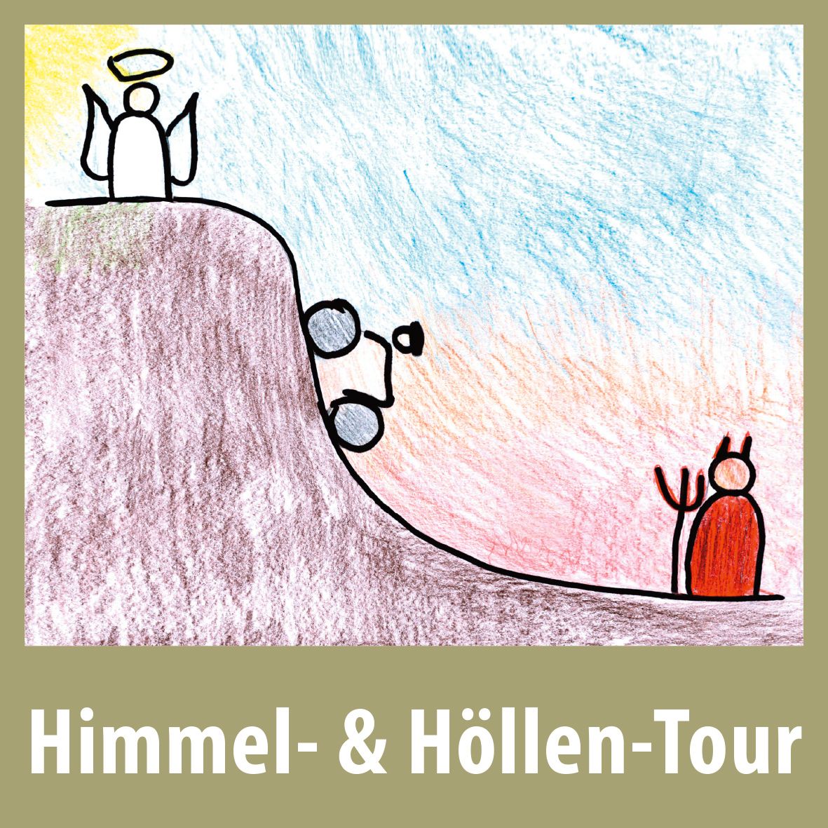
This hilly circular bicycle tour goes downhill (heaven) and uphill (hell) through places like Painten and Sausthal, with possible detours to the castles at Randeck and Prunn. From there you have a fine view over the Altmühl Valley. This tour should not cause any difficulties for those on electric bikes or for fit cyclists.
- Difficulty
-
difficult
- Rating
-
- Starting point
-
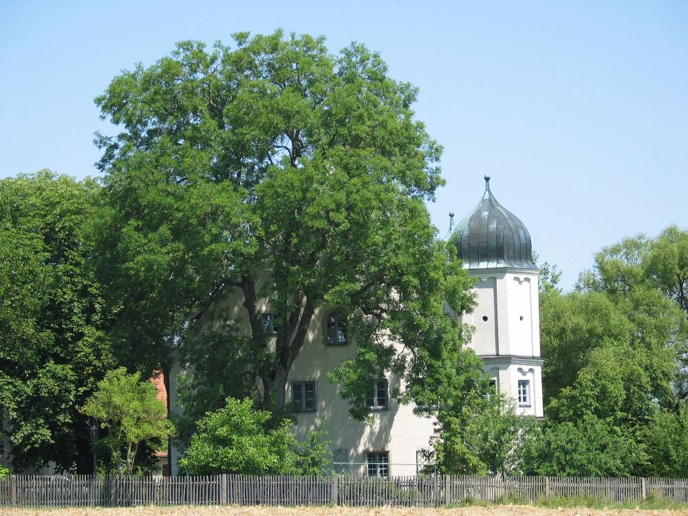
market square in Painten
- Route
-
PaintenLandgasthof Zum Wäscherhartl6.6 kmWäscherhartl6.6 kmSausthal7.1 kmKeilsdorf (512 m)12.1 kmSt. Stephan12.2 kmBaiersdorf (532 m)13.7 kmHattenhofen (510 m)15.5 kmRied (535 m)18.8 kmMaierhofen23.9 kmFalterhof24.8 kmPainten26.3 kmSt. Georg26.4 kmMythos Greek Restaurant26.5 kmPiccobello26.5 km
- Best season
-
JanFebMarAprMayJunJulAugSepOctNovDec
- Description
-
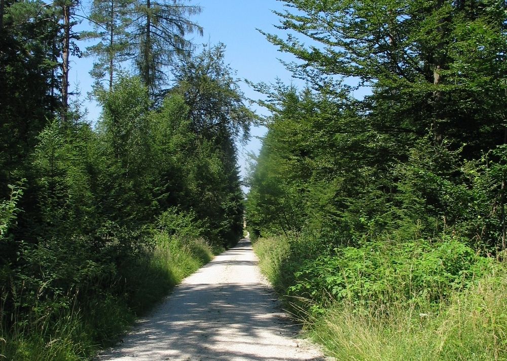
The Heaven & Hell Tour starts at the market square in Painten. Leaving the town it follows a cycle path through the forest on a gentle hilly stretch at first, as far as the Wallner Chapel. From there you go downhill and through the forest again as far as Sausthal, where there is an observatory and places to stop off, as well as a high rope course, open by arrangement.
Continuing through the forest you go downhill at first before going uphill again on a forest road. Before it gets easier again and heads back towards the valley, you can make a detour to Randeck Castle. Through Randeck Forest the route takes you into the Galgen Valley and then through Kaisdorf uphill again to Baiersdorf, from where you have the option of going to Prunn Castle. After Baiersdorf the tour takes you downhill into the Emmer Valley, and then immediately starts climbing again to the little town of Ried.
From there it’s a hilly section all the way to Maierhofen where there are places for cyclists to stop off, shortly before completing the tour. There is one more uphill stretch, to the highest point of the tour, and then downhill back to Painten.
- Directions
-
The entire tour is signposted in both directions, so all you have to do is follow the tour logo.
- Highest point
- 542 m
- Endpoint
-
market square in Painten
- Height profile
-
 © outdooractive.com
- Author
-
The tour Time Out Bicycle Experience: Heaven & Hell Tour is used by outdooractive.com provided.


General info
-
Landkreis Kelheim
79
-
Essing
31