Durchs Katzental

Logo Durchs Katzental
Tour data
16.15km
629 - 777m
Distance
239hm
222hm
Ascent
01:30h
 
Duration
Brief description

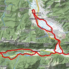
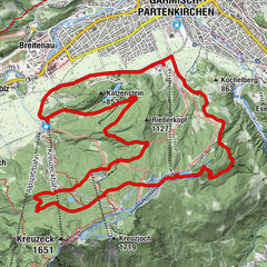
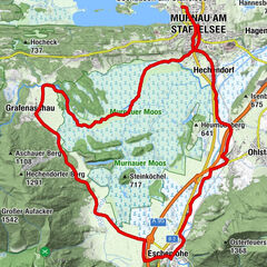
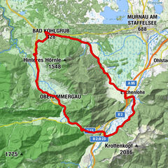
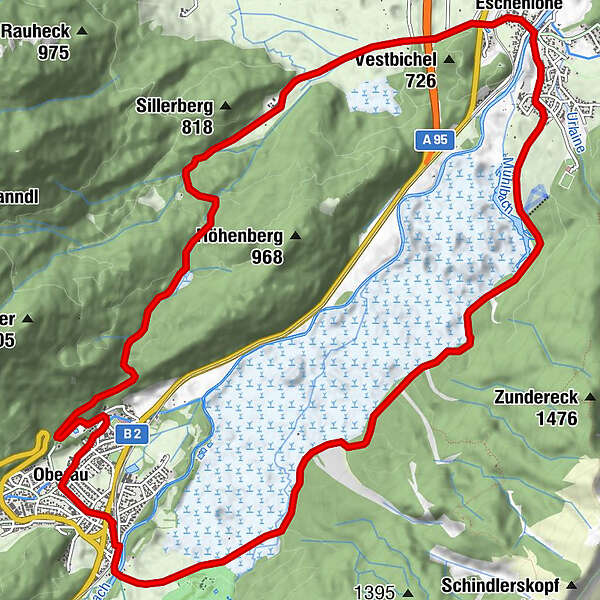
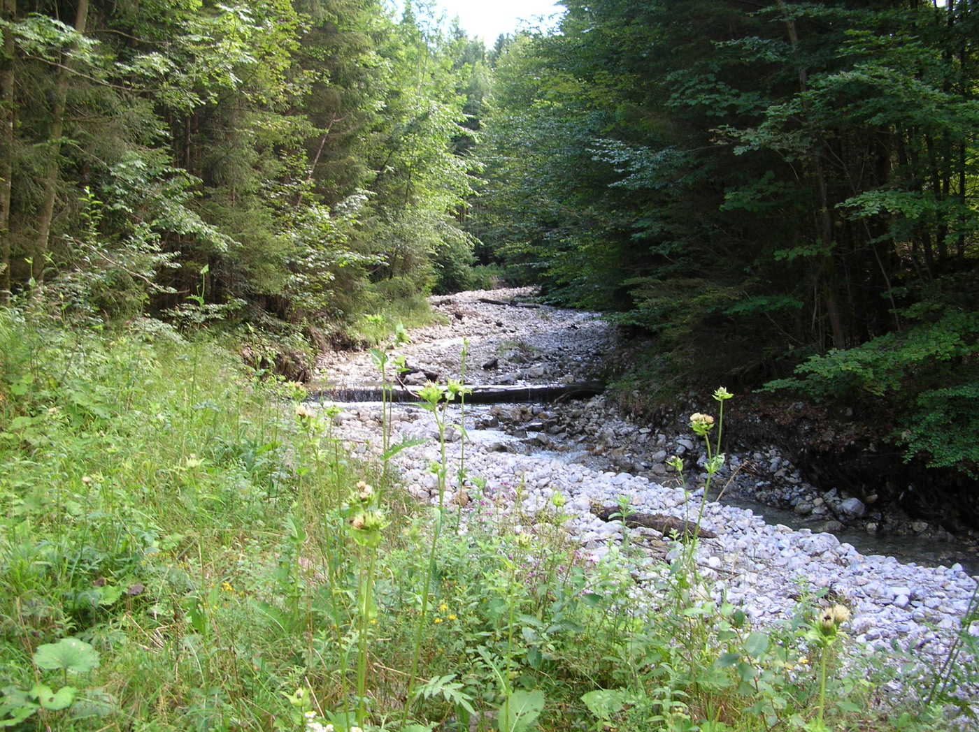
Verlauf: Oberau – Eschenlohe – Katzental – Oberau.

Difficulty
easy
Rating
Technique
Fitness
Landscape
Experience
Starting point

Oberau

Route
Oberau (659 m)
Skilift Eschenlohe
5.9 km
Taverne Athen
7.6 km
Eschenlohe (636 m)
7.7 km
Gasthaus zur Brücke
7.7 km
Höllenstein
10.1 km
Oberau (659 m)
15.4 km
Oberau
16.0 km


Best season
Jan
Feb
Mar
Apr
May
Jun
Jul
Aug
Sep
Oct
Nov
Dec
Highest point
777 m

Ticket material

Zugspitzland Radkarte - Kosten 2 Euro


Overall rating

5

0

%

4

0

%

3

0

%

2

0

%

1

0

%

Error
An error has occurred. Please try again.
Thank you for your review

Rating has been deleted

GPS Downloads
  • GPX GPS Exchange Format (XML)
  • KML Google Earth, Google Maps
QR Download Codes for Mobile Phones

Surfaces

Asphalt (30%)
Gravel (70%)
Forest
Mountain paths
Single trails
Trial
Traffic
Other tours in the regions

Popular tours in the area

Cycle tour – Ettal Abbey and Linderhof Palace

medium Cycling
41.93km | 204hm | 02:25h

To Garmisch Hausberg Mountain

medium Cycling
17.73km | 629hm | 02:40h

Moosrunde - Radtour durch das Murnauer Moos

easy Cycling
33.58km | 130hm | 02:25h

Rund um das Ettaler Mandl

medium Cycling
44.08km | 491hm | 04:00h